Hobart is an unincorporated community and census-designated place (CDP) in King County, Washington, United States. The population was 6,767 at the 2020 census.
Based on per capita income, one of the more reliable measures of affluence, Hobart ranks 31st of 522 areas in the state of Washington to be ranked. The Hobart area was first settled by loggers in 1879, and originally known as “Vine Maple Valley”. The name was changed when deemed too long by the Post Office. The Hobart Post Office was first opened May 9, 1903 with William Sidebotham as first postmaster. A coal mine also operated in the area as late as 1947.
| Name: | Hobart CDP |
|---|---|
| LSAD Code: | 57 |
| LSAD Description: | CDP (suffix) |
| State: | Washington |
| County: | King County |
| Elevation: | 568 ft (173 m) |
| Total Area: | 18.9 sq mi (49.0 km²) |
| Land Area: | 18.8 sq mi (48.7 km²) |
| Water Area: | 0.1 sq mi (0.3 km²) |
| Total Population: | 6,767 |
| Population Density: | 331/sq mi (127.8/km²) |
| ZIP code: | 98025 |
| Area code: | 425 |
| FIPS code: | 5331495 |
| GNISfeature ID: | 1520825 |
Online Interactive Map
Click on ![]() to view map in "full screen" mode.
to view map in "full screen" mode.
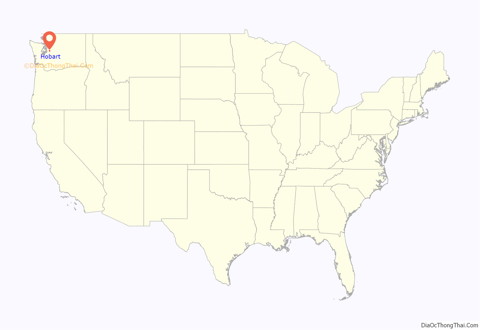
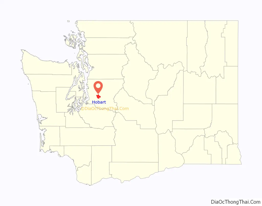
Hobart location map. Where is Hobart CDP?
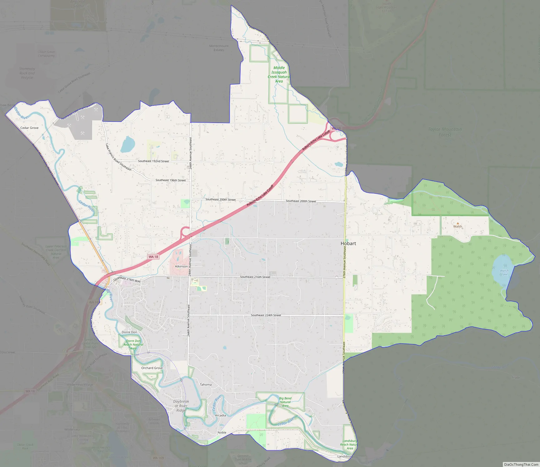
Hobart Road Map
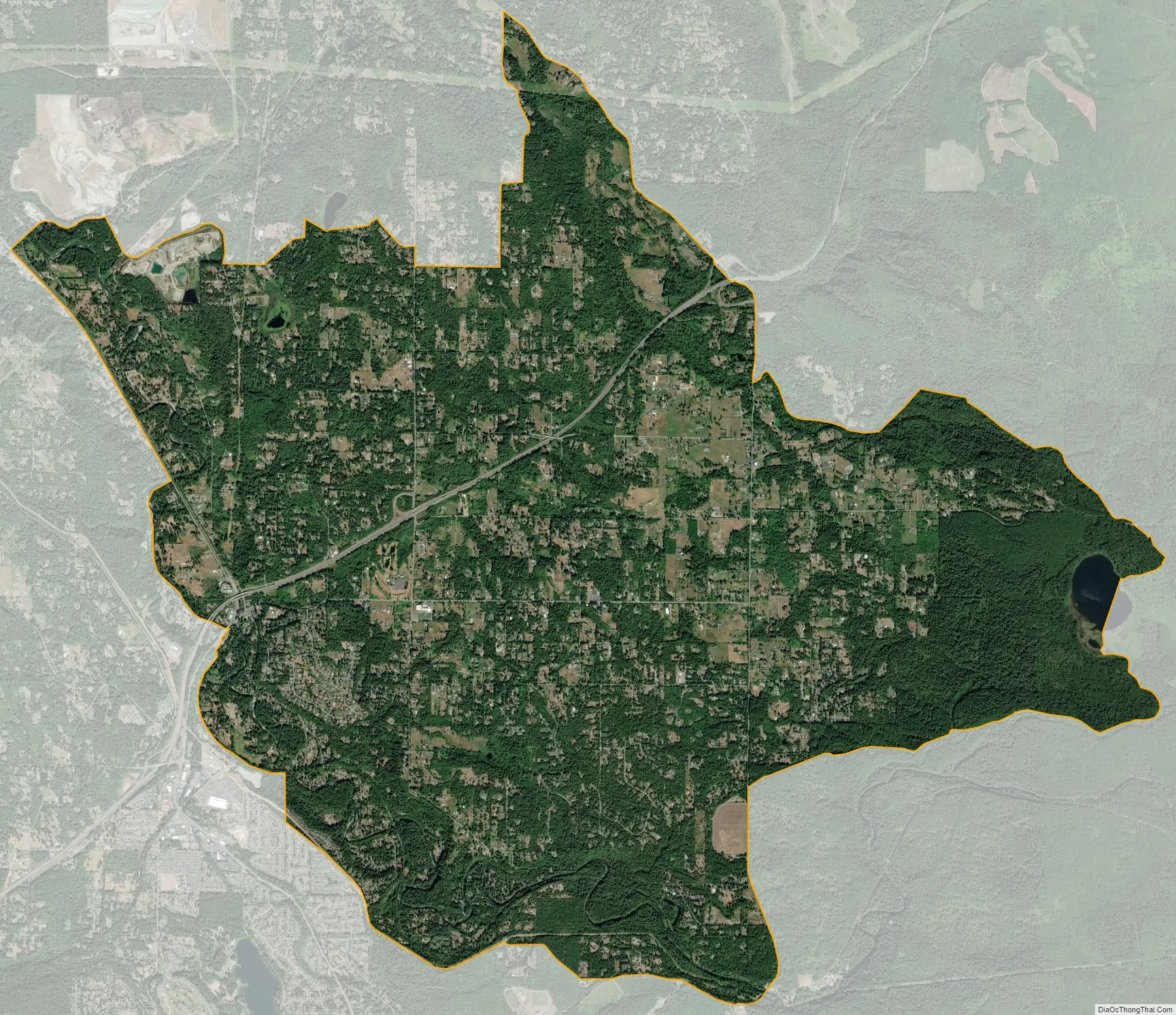
Hobart city Satellite Map
Geography
Hobart is located in central King County at 47°24′56″N 122°0′21″W / 47.41556°N 122.00583°W / 47.41556; -122.00583 (47.415568, -122.005950). It is bordered to the north by Mirrormont, to the northwest by East Renton Highlands, to the southwest by Maple Valley, and to the south by Ravensdale. 2,600-foot (790 m) Taylor Mountain rises to the northeast.
Washington State Route 18 passes through Hobart, leading northeast 9 miles (14 km) to Interstate 90 near Snoqualmie and southwest 15 miles (24 km) to Auburn. Seattle is 24 miles (39 km) to the northwest.
According to the United States Census Bureau, the Hobart CDP has a total area of 18.9 square miles (48.9 km), of which 18.8 square miles (48.6 km) are land and 0.1 square miles (0.3 km), or 0.60%, are water. The Cedar River runs along the southern and western edges of the community.
The town of Hobart was named in honor of Garret Augustus Hobart (June 3, 1844 – November 21, 1899), the 24th Vice President of the United States.
Climate
The region experiences warm (but not hot) and dry summers, with no average monthly temperatures above 71.6 °F. According to the Köppen Climate Classification system, Hobart has a warm-summer Mediterranean climate, abbreviated “Csb” on climate maps.
See also
Map of Washington State and its subdivision:- Adams
- Asotin
- Benton
- Chelan
- Clallam
- Clark
- Columbia
- Cowlitz
- Douglas
- Ferry
- Franklin
- Garfield
- Grant
- Grays Harbor
- Island
- Jefferson
- King
- Kitsap
- Kittitas
- Klickitat
- Lewis
- Lincoln
- Mason
- Okanogan
- Pacific
- Pend Oreille
- Pierce
- San Juan
- Skagit
- Skamania
- Snohomish
- Spokane
- Stevens
- Thurston
- Wahkiakum
- Walla Walla
- Whatcom
- Whitman
- Yakima
- Alabama
- Alaska
- Arizona
- Arkansas
- California
- Colorado
- Connecticut
- Delaware
- District of Columbia
- Florida
- Georgia
- Hawaii
- Idaho
- Illinois
- Indiana
- Iowa
- Kansas
- Kentucky
- Louisiana
- Maine
- Maryland
- Massachusetts
- Michigan
- Minnesota
- Mississippi
- Missouri
- Montana
- Nebraska
- Nevada
- New Hampshire
- New Jersey
- New Mexico
- New York
- North Carolina
- North Dakota
- Ohio
- Oklahoma
- Oregon
- Pennsylvania
- Rhode Island
- South Carolina
- South Dakota
- Tennessee
- Texas
- Utah
- Vermont
- Virginia
- Washington
- West Virginia
- Wisconsin
- Wyoming


