Ketron Island is an island and a census-designated place (CDP) in Pierce County, Washington, United States. The island had a population of 24 persons according to the 2000 census, and 17 persons at the 2010 census.
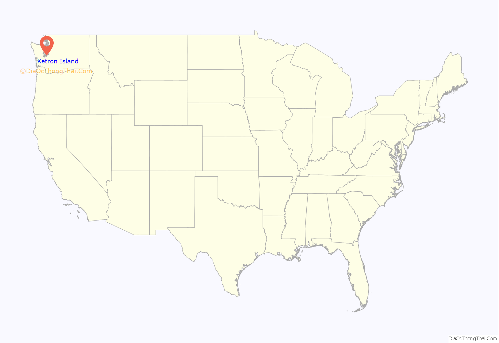
Ketron Island is located in southern Puget Sound just off the shoreline from Steilacoom. It lies between the mainland near the city of Steilacoom and Anderson Island near the extreme south end of Puget Sound. The island has a land area of 221 acres (89 hectares).
| Name: | Ketron Island CDP |
|---|---|
| LSAD Code: | 57 |
| LSAD Description: | CDP (suffix) |
| State: | Washington |
| County: | Pierce County |
| Total Area: | 17 |
| ZIP code: | 98388 |
| Area code: | 253 |
| FIPS code: | 5335450 |
Online Interactive Map
Click on ![]() to view map in "full screen" mode.
to view map in "full screen" mode.
Ketron Island location map. Where is Ketron Island CDP?
History
The British explorer and navigator George Vancouver camped on Ketron Island in May of 1792.
The island was originally named “Kittson Island” by Charles Wilkes during the Wilkes Expedition of 1838–1842, but was misspelled “Ketron” by his cartographers. The island was named for William Kittson, an employee of the Hudson’s Bay Company, who supervised the construction of Fort Nisqually in 1833 and served as its chief factor.
The entire island was bought by an entrepreneur in 1946 with plans to build 200 homes, but this attempt was abandoned due to the cost of a sewer system.
On August 10, 2018, an empty Horizon Air Q400 was stolen from Seattle–Tacoma International Airport and crashed on the southern tip of Ketron Island, killing the sole occupant, Richard Russell.
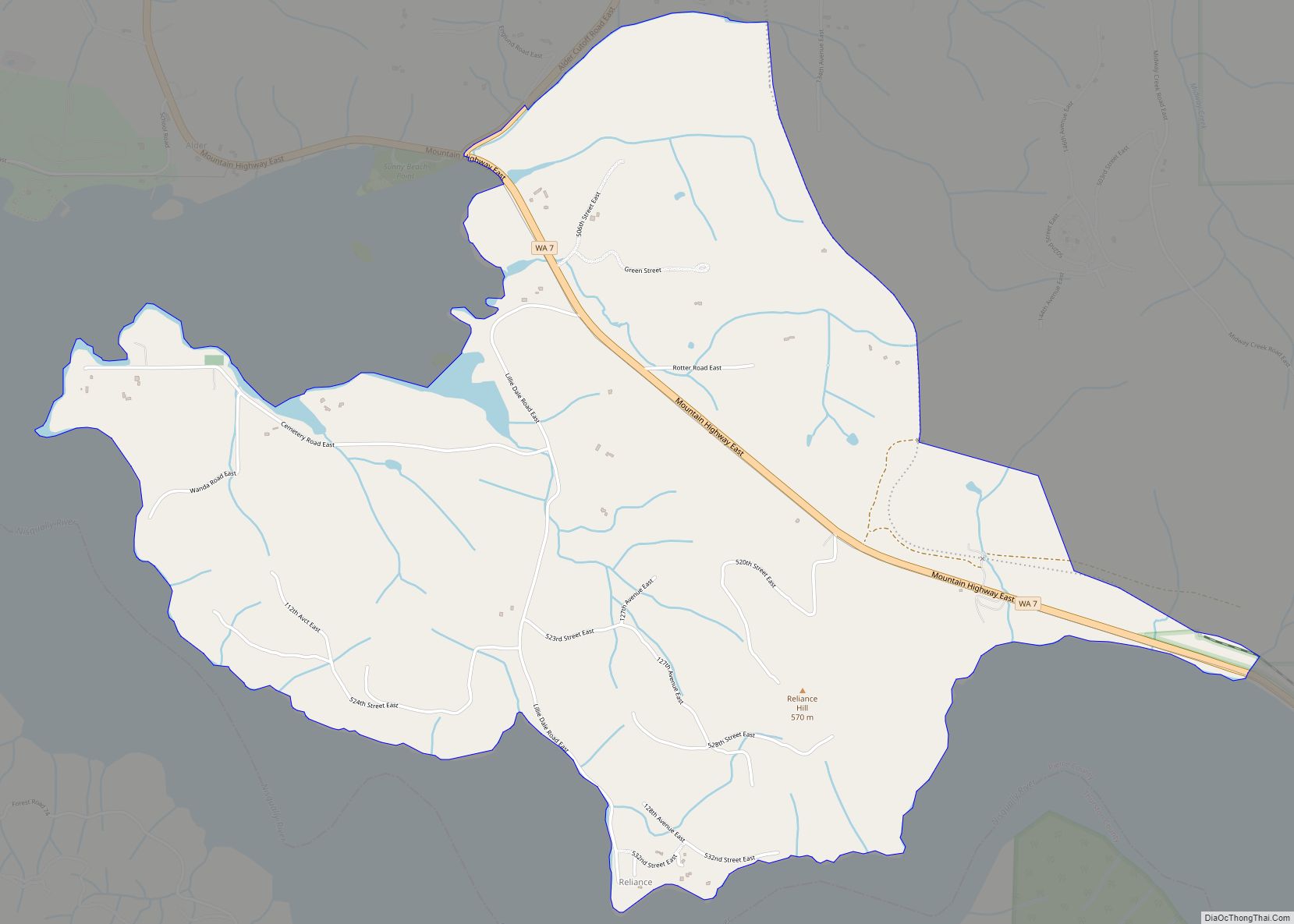
Ketron Island Road Map
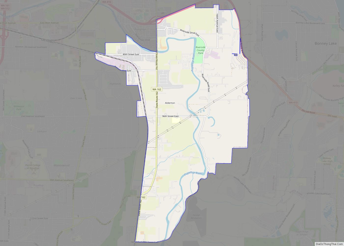
Ketron Island city Satellite Map
See also
Map of Washington State and its subdivision:- Adams
- Asotin
- Benton
- Chelan
- Clallam
- Clark
- Columbia
- Cowlitz
- Douglas
- Ferry
- Franklin
- Garfield
- Grant
- Grays Harbor
- Island
- Jefferson
- King
- Kitsap
- Kittitas
- Klickitat
- Lewis
- Lincoln
- Mason
- Okanogan
- Pacific
- Pend Oreille
- Pierce
- San Juan
- Skagit
- Skamania
- Snohomish
- Spokane
- Stevens
- Thurston
- Wahkiakum
- Walla Walla
- Whatcom
- Whitman
- Yakima
- Alabama
- Alaska
- Arizona
- Arkansas
- California
- Colorado
- Connecticut
- Delaware
- District of Columbia
- Florida
- Georgia
- Hawaii
- Idaho
- Illinois
- Indiana
- Iowa
- Kansas
- Kentucky
- Louisiana
- Maine
- Maryland
- Massachusetts
- Michigan
- Minnesota
- Mississippi
- Missouri
- Montana
- Nebraska
- Nevada
- New Hampshire
- New Jersey
- New Mexico
- New York
- North Carolina
- North Dakota
- Ohio
- Oklahoma
- Oregon
- Pennsylvania
- Rhode Island
- South Carolina
- South Dakota
- Tennessee
- Texas
- Utah
- Vermont
- Virginia
- Washington
- West Virginia
- Wisconsin
- Wyoming
