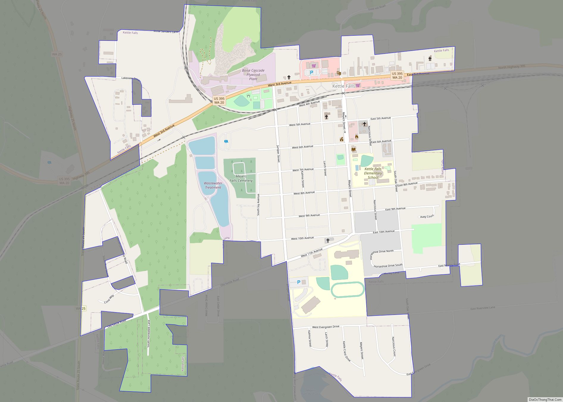
Kettle Falls is a city in Stevens County, Washington, United States, named for the nearby Kettle Falls on the Kettle River. The city itself is located on the Colville River immediately upstream from its confluence with the Columbia River. The population of the city was 1,595 at the time of the 2010 census, a 4.5% increase over the 2000 census.
| Name: | Kettle Falls city |
|---|---|
| LSAD Code: | 25 |
| LSAD Description: | city (suffix) |
| State: | Washington |
| County: | Stevens County |
| Elevation: | 1,631 ft (497 m) |
| Total Area: | 1.08 sq mi (2.79 km²) |
| Land Area: | 1.08 sq mi (2.79 km²) |
| Water Area: | 0.00 sq mi (0.00 km²) |
| Total Population: | 1,595 |
| Population Density: | 1,518.11/sq mi (585.90/km²) |
| ZIP code: | 99141 |
| Area code: | 509 |
| FIPS code: | 5335485 |
| GNISfeature ID: | 1530955 |
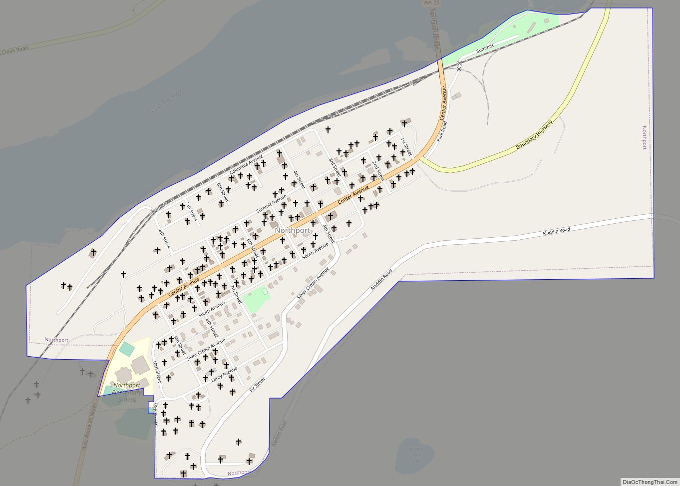
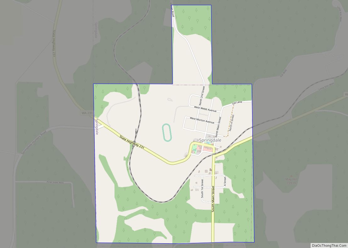
Online Interactive Map
Click on ![]() to view map in "full screen" mode.
to view map in "full screen" mode.
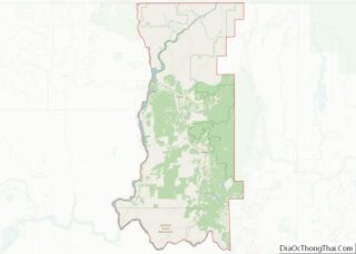
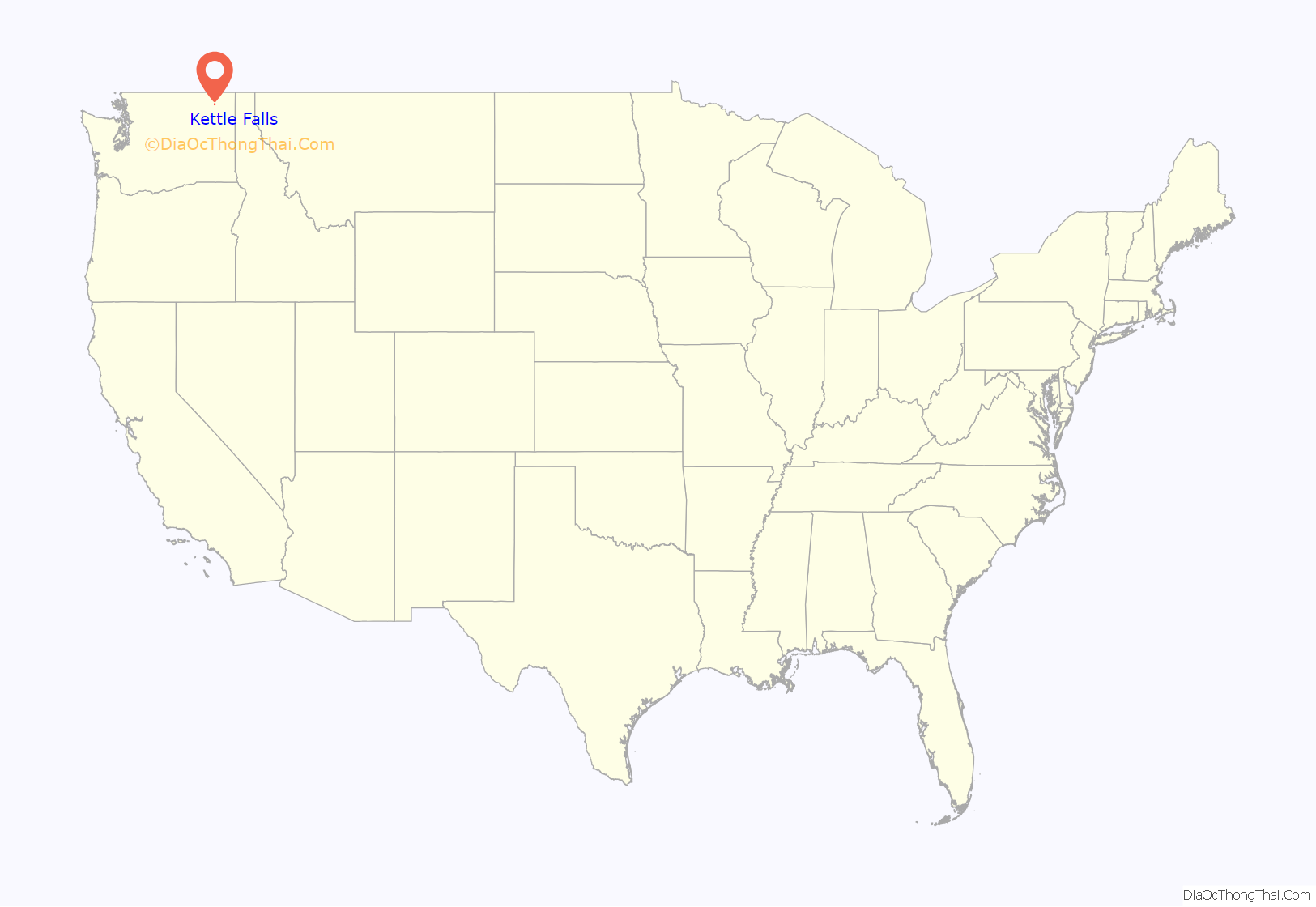
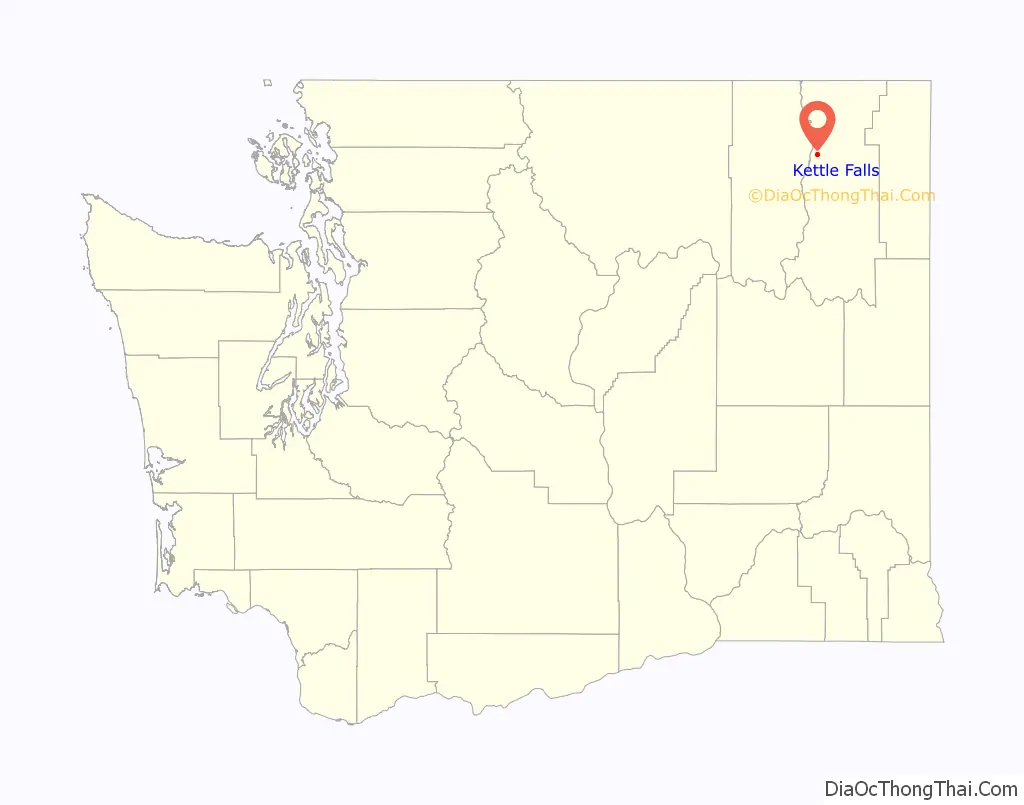
Kettle Falls location map. Where is Kettle Falls city?
History
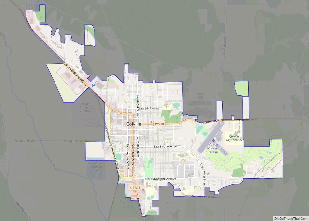
The original Kettle Falls was officially incorporated on December 17, 1891 on the bank of the Columbia. After it was flooded by the Grand Coulee Dam in 1940, city planners relocated the town at a community called Meyers Falls, near the railroad lines, helping to ensure its success as a trans-shipment point for the logging, agriculture, and paper industries. This is its present location, eight miles northwest of Colville and roughly 80 miles northwest of Spokane.
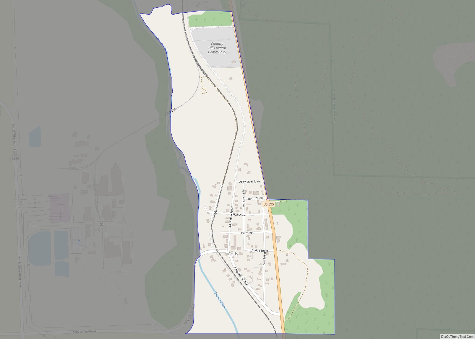
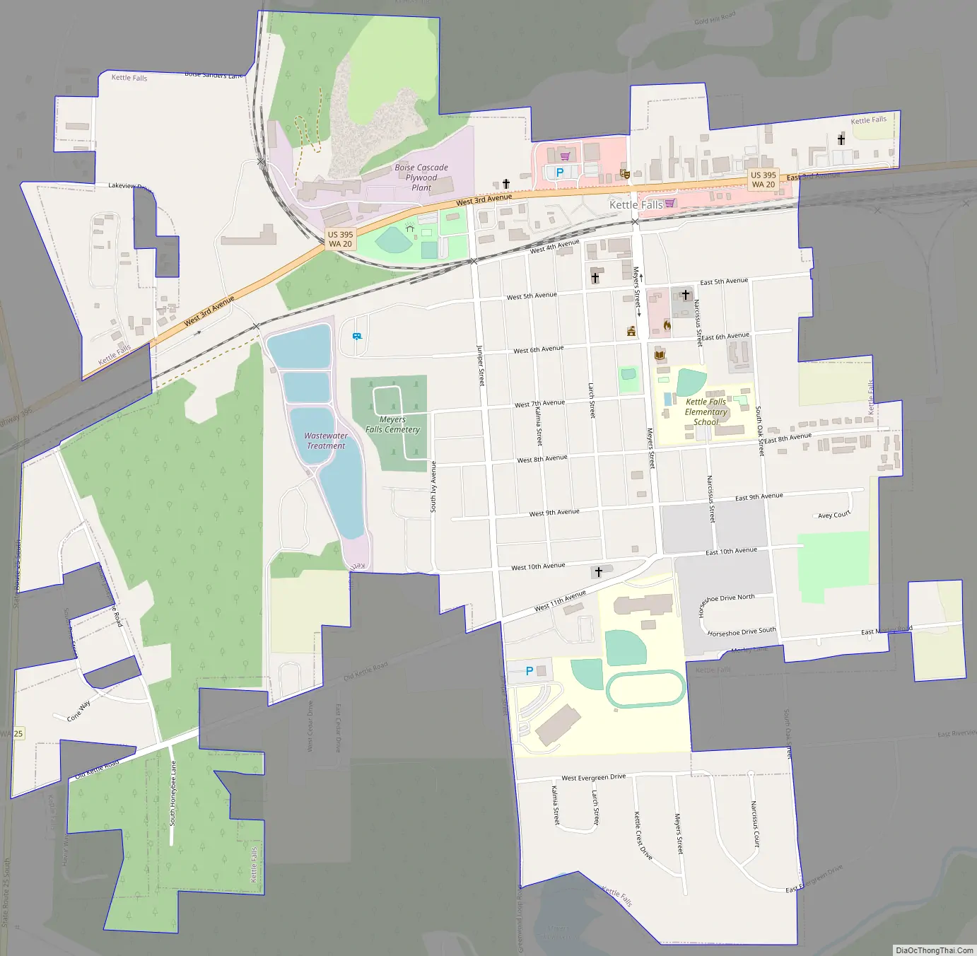
Kettle Falls Road Map
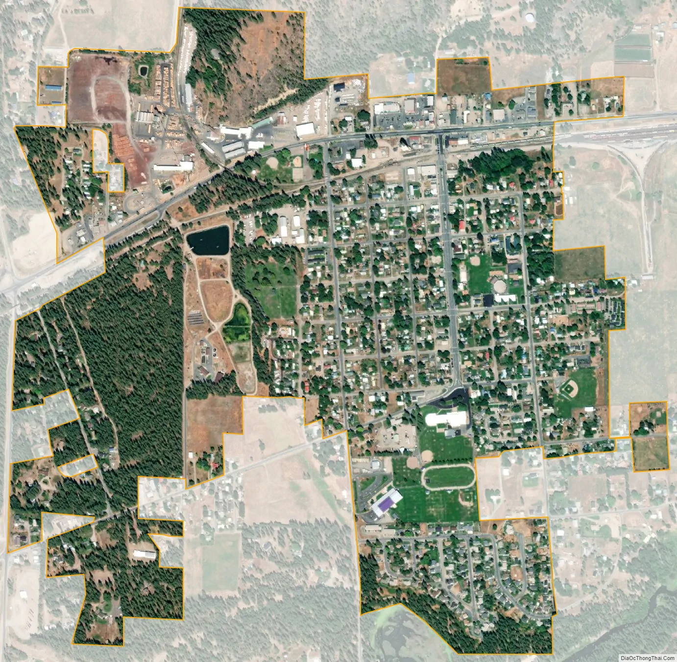
Kettle Falls city Satellite Map
Geography
It is 30 miles (48 km) south of the Canada–United States border at Laurier and adjacent to Lake Roosevelt, the reservoir of the Columbia River. According to the United States Census Bureau, the city has a total area of 1.07 square miles (2.77 km), all land.
See also
Map of Washington State and its subdivision:- Adams
- Asotin
- Benton
- Chelan
- Clallam
- Clark
- Columbia
- Cowlitz
- Douglas
- Ferry
- Franklin
- Garfield
- Grant
- Grays Harbor
- Island
- Jefferson
- King
- Kitsap
- Kittitas
- Klickitat
- Lewis
- Lincoln
- Mason
- Okanogan
- Pacific
- Pend Oreille
- Pierce
- San Juan
- Skagit
- Skamania
- Snohomish
- Spokane
- Stevens
- Thurston
- Wahkiakum
- Walla Walla
- Whatcom
- Whitman
- Yakima
- Alabama
- Alaska
- Arizona
- Arkansas
- California
- Colorado
- Connecticut
- Delaware
- District of Columbia
- Florida
- Georgia
- Hawaii
- Idaho
- Illinois
- Indiana
- Iowa
- Kansas
- Kentucky
- Louisiana
- Maine
- Maryland
- Massachusetts
- Michigan
- Minnesota
- Mississippi
- Missouri
- Montana
- Nebraska
- Nevada
- New Hampshire
- New Jersey
- New Mexico
- New York
- North Carolina
- North Dakota
- Ohio
- Oklahoma
- Oregon
- Pennsylvania
- Rhode Island
- South Carolina
- South Dakota
- Tennessee
- Texas
- Utah
- Vermont
- Virginia
- Washington
- West Virginia
- Wisconsin
- Wyoming