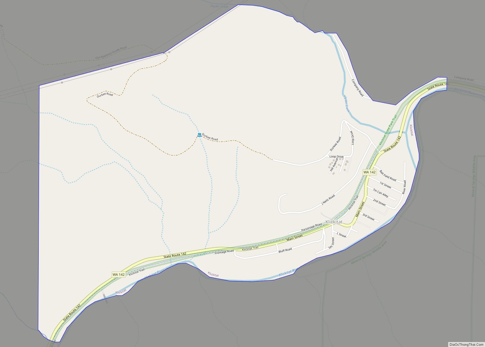
Klickitat is an unincorporated community and census-designated place (CDP) in Klickitat County, Washington, United States. The population was 362 at the 2010 census. Once the site of a lumber mill, it is now primarily a bedroom community.
| Name: | Klickitat CDP |
|---|---|
| LSAD Code: | 57 |
| LSAD Description: | CDP (suffix) |
| State: | Washington |
| County: | Klickitat County |
| Elevation: | 479 ft (146 m) |
| Total Area: | 0.94 sq mi (2.43 km²) |
| Land Area: | 0.94 sq mi (2.43 km²) |
| Water Area: | 0.0 sq mi (0.0 km²) |
| Total Population: | 362 |
| Population Density: | 385/sq mi (148.8/km²) |
| ZIP code: | 98628, 98670 |
| Area code: | 509 |
| FIPS code: | 5336115 |
| GNISfeature ID: | 1521721 |
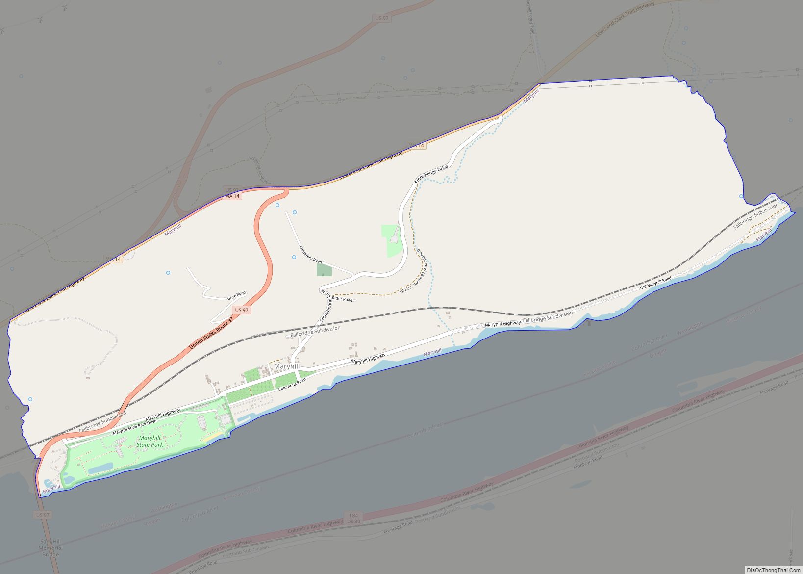
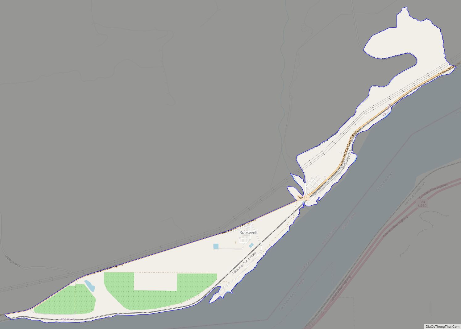
Online Interactive Map
Click on ![]() to view map in "full screen" mode.
to view map in "full screen" mode.
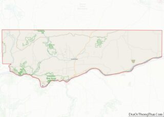
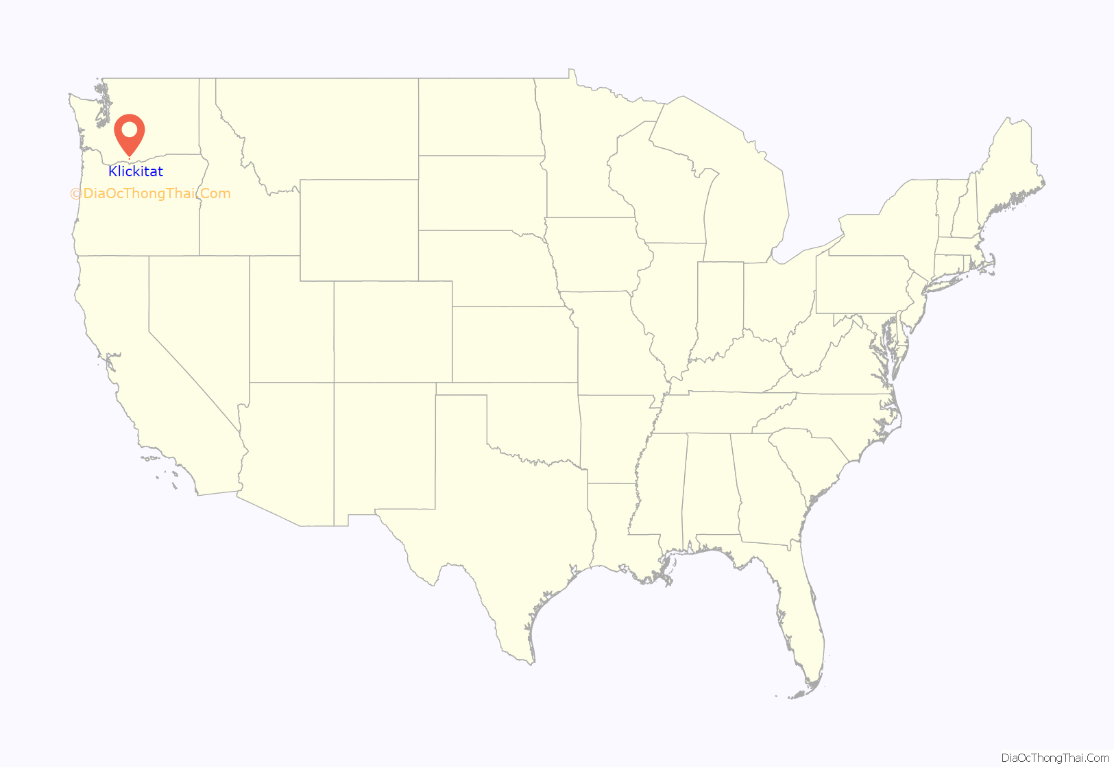
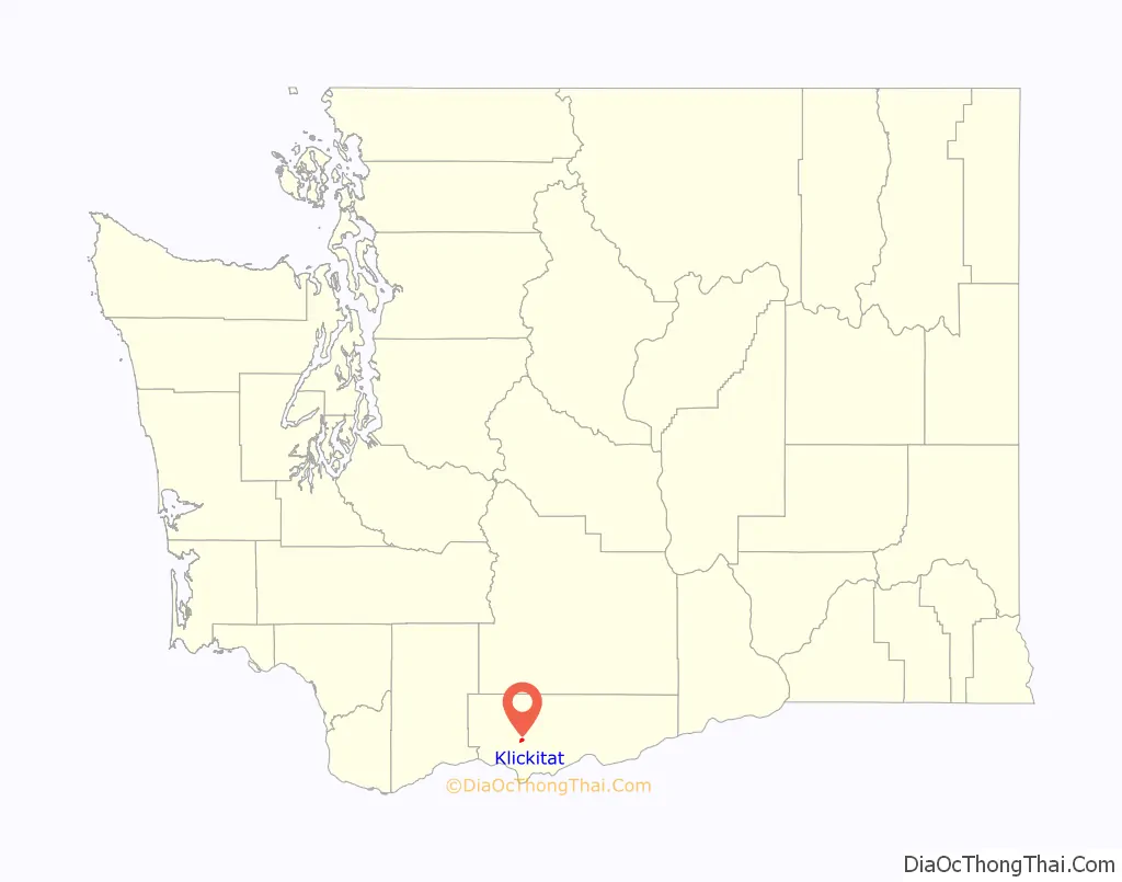
Klickitat location map. Where is Klickitat CDP?
History
The site where the town is located was originally called “Wrights” after one of the original settlers. This was the name given to the rail stop there. The rail stop down the river at milepost 7.2 was named “Klickitat”, after the Klickitat people and the railroad later switched the two signs when the carbonated beverage company Klickitat Pop (operating near the town) gained fame. On February 7, 1910, the name of the town post office was officially changed to “Klickitat”.
The first non-native settlers arrived in 1890 seeking land to homestead. The abundance of timber drew in other settlers during the early 1900s. Travel through the Klickitat canyon and up to the plateau was arduous until the completion of a rail line in 1903.[4, p. 47] The rail line eased travel and facilitated the transportation of people, crops, livestock and timber. The lumber mill was the primary employer in town, with the first major mill formed 1909, until 1994 when the mill was permanently closed. The naturally carbonated Klickitat Mineral Springs just east of town gave rise to health spas, a carbonated beverage company, and a large dry ice plant which operated until 1957.
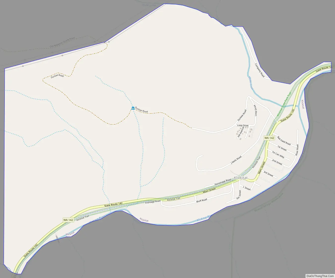
Klickitat Road Map
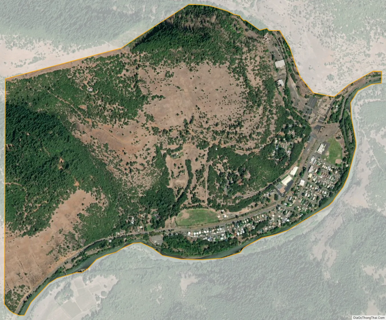
Klickitat city Satellite Map
Geography
Klickitat is located along the Klickitat River at 45°48′59″N 121°9′50″W / 45.81639°N 121.16389°W / 45.81639; -121.16389 (45.816412, -121.163790). The closest major town is Goldendale, 21 miles (34 km) to the east. State Route 142 passes through Klickitat, leading southwest (downstream) 3 miles (5 km) to Pitt and east (upstream) the same distance to Wahkiacus. Lyle, along the Columbia River, is 13 miles (21 km) to the southwest via Route 142.
According to the United States Census Bureau, the Klickitat CDP has a total area of 0.93 square miles (2.4 km), all of it land.
See also
Map of Washington State and its subdivision:- Adams
- Asotin
- Benton
- Chelan
- Clallam
- Clark
- Columbia
- Cowlitz
- Douglas
- Ferry
- Franklin
- Garfield
- Grant
- Grays Harbor
- Island
- Jefferson
- King
- Kitsap
- Kittitas
- Klickitat
- Lewis
- Lincoln
- Mason
- Okanogan
- Pacific
- Pend Oreille
- Pierce
- San Juan
- Skagit
- Skamania
- Snohomish
- Spokane
- Stevens
- Thurston
- Wahkiakum
- Walla Walla
- Whatcom
- Whitman
- Yakima
- Alabama
- Alaska
- Arizona
- Arkansas
- California
- Colorado
- Connecticut
- Delaware
- District of Columbia
- Florida
- Georgia
- Hawaii
- Idaho
- Illinois
- Indiana
- Iowa
- Kansas
- Kentucky
- Louisiana
- Maine
- Maryland
- Massachusetts
- Michigan
- Minnesota
- Mississippi
- Missouri
- Montana
- Nebraska
- Nevada
- New Hampshire
- New Jersey
- New Mexico
- New York
- North Carolina
- North Dakota
- Ohio
- Oklahoma
- Oregon
- Pennsylvania
- Rhode Island
- South Carolina
- South Dakota
- Tennessee
- Texas
- Utah
- Vermont
- Virginia
- Washington
- West Virginia
- Wisconsin
- Wyoming