Lakewood is a city in Pierce County, Washington, United States. The population was 63,612 at the 2020 census.
| Name: | Lakewood city |
|---|---|
| LSAD Code: | 25 |
| LSAD Description: | city (suffix) |
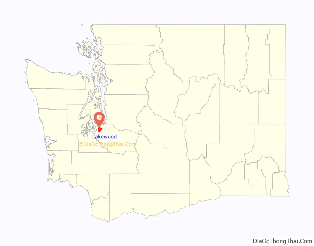
| State: | Washington |
| County: | Pierce County |
| Elevation: | 262 ft (80 m) |
| Total Area: | 18.89 sq mi (48.93 km²) |
| Land Area: | 17.06 sq mi (44.18 km²) |
| Water Area: | 1.83 sq mi (4.74 km²) 9.39% |
| Total Population: | 63,612 |
| Population Density: | 3,400/sq mi (1,300/km²) |
| ZIP code: | 98439, 98498, 98499 |
| Area code: | 253 |
| FIPS code: | 5338038 |
| GNISfeature ID: | 1512373 |
| Website: | cityoflakewood.us |
Online Interactive Map
Click on ![]() to view map in "full screen" mode.
to view map in "full screen" mode.
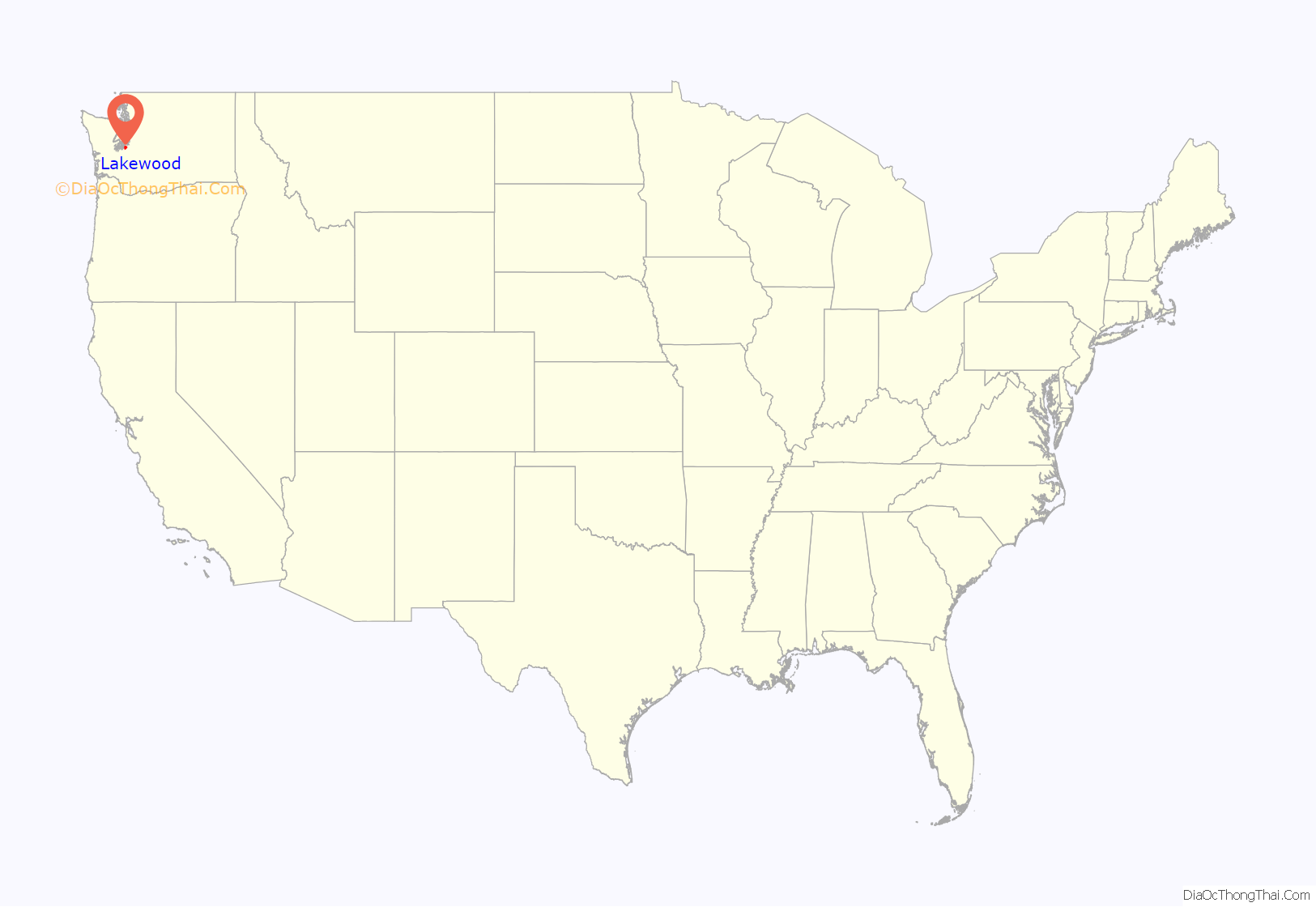
Lakewood location map. Where is Lakewood city?
History
Lakewood was officially incorporated on February 28, 1996. Historical names include Tacoma/Lakewood Center and Lakes District (this name was used by the U.S. Census in the 1970 and 1980 Census). Lakewood is the second-largest city in Pierce County and is home to the Clover Park School District, the Lakewood Water District, Fort Steilacoom Park and Western State Hospital, a regional state psychiatric hospital.
Thornewood Castle was built in the vicinity of Tacoma in the area that is now Lakewood.
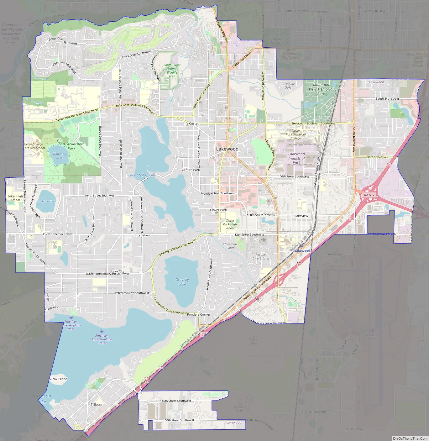
Lakewood Road Map
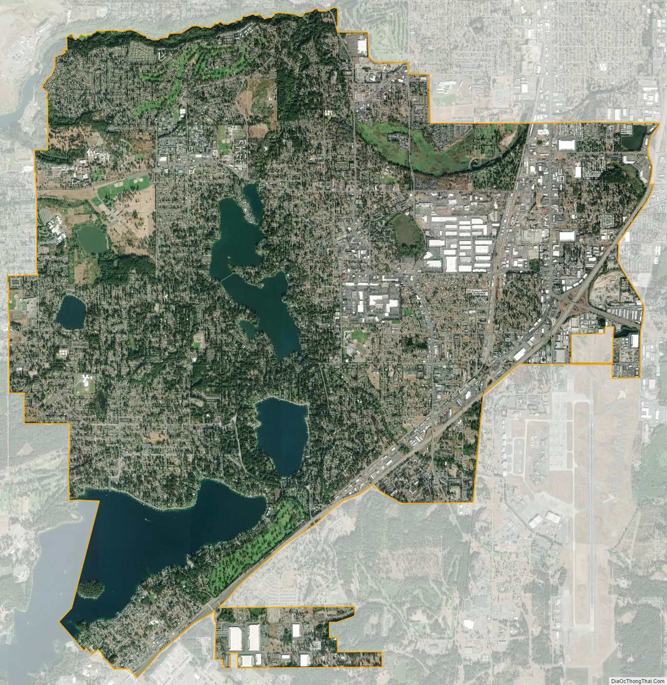
Lakewood city Satellite Map
Geography
Lakewood is located at 47°10′N 122°32′W / 47.167°N 122.533°W / 47.167; -122.533 (47.164, -122.526).
According to the United States Census Bureau, the city has a total area of 18.95 square miles (49.08 km), of which, 17.17 square miles (44.47 km) is land and 1.78 square miles (4.61 km) is water.
There are several lakes within the city limits; the largest in area are American Lake, Lake Steilacoom, Gravelly Lake, Lake Louise, and Waughop Lake. The Waughop Lake is incorporated into the aforementioned Fort Steilacoom Park. A number of small creeks flow through Lakewood, some of which drain into nearby Puget Sound. The largest of these, Chambers Creek, flows from Lake Steilacoom to Chambers Bay between nearby University Place and Steilacoom.
The western terminus of State Route 512 is in Lakewood, at its intersection with Interstate 5. The proposed State Route 704 would be the only other state highway entering the city.
See also
Map of Washington State and its subdivision:- Adams
- Asotin
- Benton
- Chelan
- Clallam
- Clark
- Columbia
- Cowlitz
- Douglas
- Ferry
- Franklin
- Garfield
- Grant
- Grays Harbor
- Island
- Jefferson
- King
- Kitsap
- Kittitas
- Klickitat
- Lewis
- Lincoln
- Mason
- Okanogan
- Pacific
- Pend Oreille
- Pierce
- San Juan
- Skagit
- Skamania
- Snohomish
- Spokane
- Stevens
- Thurston
- Wahkiakum
- Walla Walla
- Whatcom
- Whitman
- Yakima
- Alabama
- Alaska
- Arizona
- Arkansas
- California
- Colorado
- Connecticut
- Delaware
- District of Columbia
- Florida
- Georgia
- Hawaii
- Idaho
- Illinois
- Indiana
- Iowa
- Kansas
- Kentucky
- Louisiana
- Maine
- Maryland
- Massachusetts
- Michigan
- Minnesota
- Mississippi
- Missouri
- Montana
- Nebraska
- Nevada
- New Hampshire
- New Jersey
- New Mexico
- New York
- North Carolina
- North Dakota
- Ohio
- Oklahoma
- Oregon
- Pennsylvania
- Rhode Island
- South Carolina
- South Dakota
- Tennessee
- Texas
- Utah
- Vermont
- Virginia
- Washington
- West Virginia
- Wisconsin
- Wyoming


