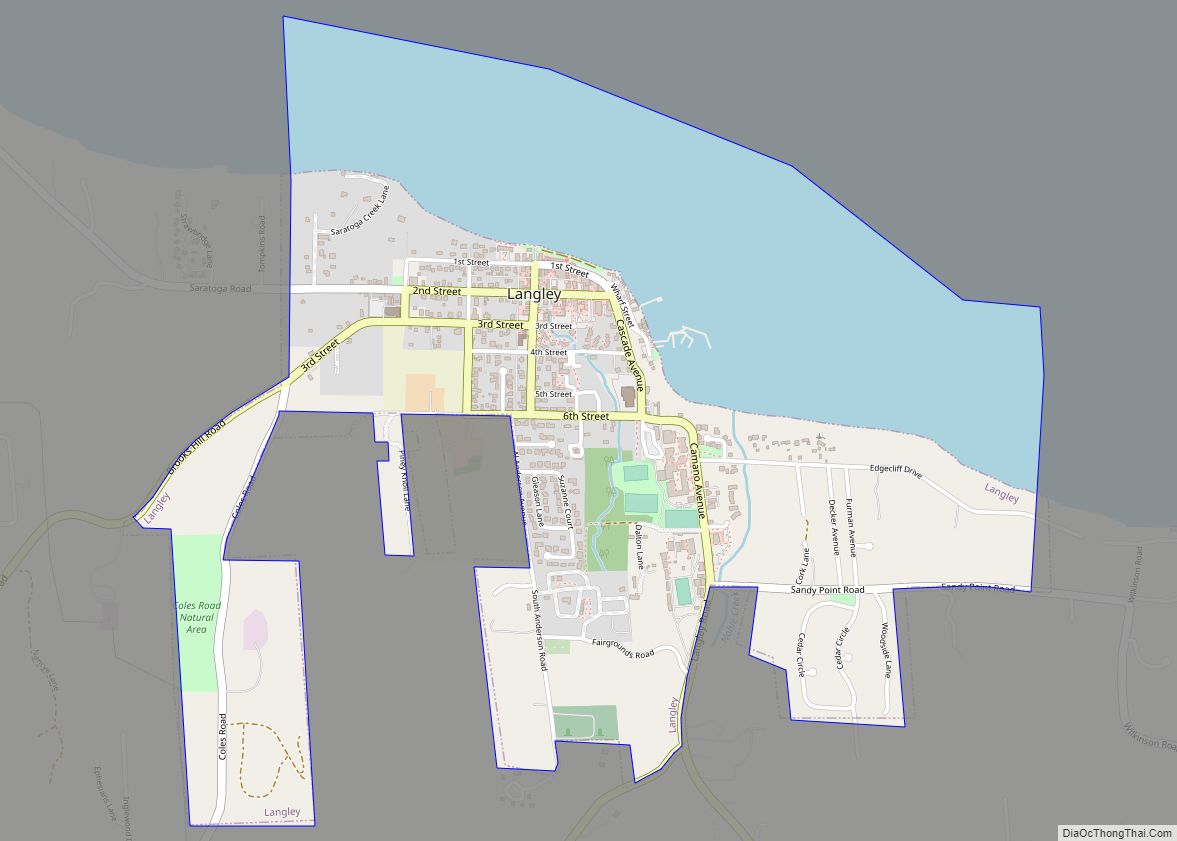
Langley is a city in Island County, Washington, United States. It sits near the south end of Whidbey Island, overlooking the Saratoga Passage. It is the third largest incorporated area on Whidbey. The population was 1,035 at the 2010 census, while the ZCTA for Langley’s post office had a population of 4,878. The geographical area of the city is only 0.8 square miles (2.1 km) but the ZCTA covers 26.20 square miles (67.9 km).
Langley is served by South Whidbey Fire/EMS, the Langley Police Department and South Whidbey School District #206; the school district offices are located there. The current mayor is Scott Chaplin.
| Name: | Langley city |
|---|---|
| LSAD Code: | 25 |
| LSAD Description: | city (suffix) |
| State: | Washington |
| County: | Island County |
| Incorporated: | February 26, 1913 |
| Elevation: | 0–90 ft (0–27.7 m) |
| Land Area: | 1.01 sq mi (2.61 km²) |
| Water Area: | 0.57 sq mi (1.48 km²) |
| Population Density: | 1,130.95/sq mi (436.67/km²) |
| ZIP code: | 98260 |
| Area code: | 360 564 |
| FIPS code: | 5338355 |
| GNISfeature ID: | 1512376 |
Online Interactive Map
Click on ![]() to view map in "full screen" mode.
to view map in "full screen" mode.
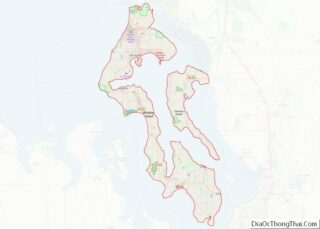
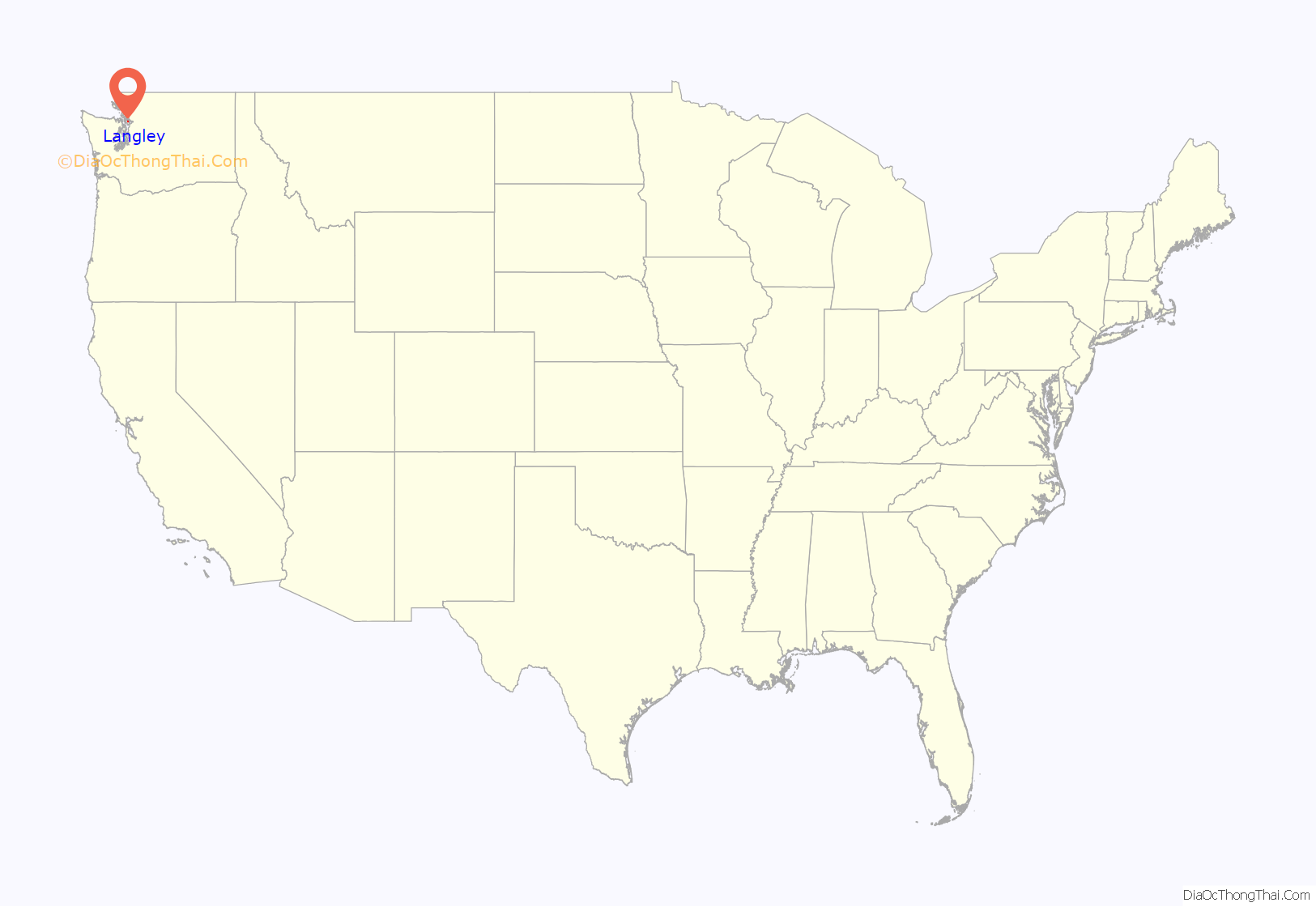
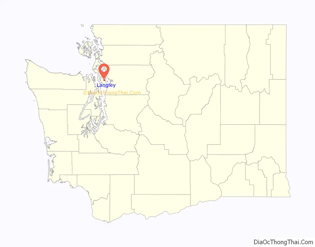
Langley location map. Where is Langley city?
History
Langley was founded in the 1890s by Jacob Anthes, and was named for J.W. Langley of Seattle. In 1902, Anthes built a logger bunkhouse that still stands in the downtown core (it functions today as the South Whidbey Historical Society Museum). Langley was officially incorporated on February 26, 1913.
At some point in the late 1900s, a number of 4H rabbits escaped their enclosures at the Island County Fair and went on to thrive as a large feral population initially residing around the county fairgrounds and later spreading throughout Langley and south Whidbey Island. In the 2010s the rabbits became a controversial issue in local politics, with citizens and groups advocating for public policy positions from removal and relocation to outright eradication. Some favored controlling the rabbit population using raptors, while other voices advocated for a more lenient position of community acceptance.
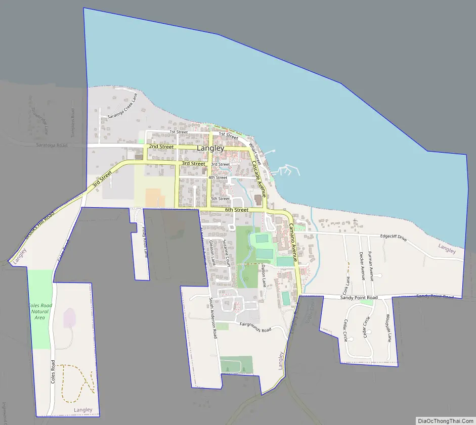
Langley Road Map
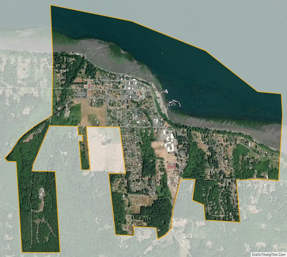
Langley city Satellite Map
Geography
Langley is located at 48°2′13″N 122°24′31″W / 48.03694°N 122.40861°W / 48.03694; -122.40861 (48.036922, -122.408500).
According to the United States Census Bureau, the city has a total area of 1.08 square miles (2.80 km), all of it land.
See also
Map of Washington State and its subdivision:- Adams
- Asotin
- Benton
- Chelan
- Clallam
- Clark
- Columbia
- Cowlitz
- Douglas
- Ferry
- Franklin
- Garfield
- Grant
- Grays Harbor
- Island
- Jefferson
- King
- Kitsap
- Kittitas
- Klickitat
- Lewis
- Lincoln
- Mason
- Okanogan
- Pacific
- Pend Oreille
- Pierce
- San Juan
- Skagit
- Skamania
- Snohomish
- Spokane
- Stevens
- Thurston
- Wahkiakum
- Walla Walla
- Whatcom
- Whitman
- Yakima
- Alabama
- Alaska
- Arizona
- Arkansas
- California
- Colorado
- Connecticut
- Delaware
- District of Columbia
- Florida
- Georgia
- Hawaii
- Idaho
- Illinois
- Indiana
- Iowa
- Kansas
- Kentucky
- Louisiana
- Maine
- Maryland
- Massachusetts
- Michigan
- Minnesota
- Mississippi
- Missouri
- Montana
- Nebraska
- Nevada
- New Hampshire
- New Jersey
- New Mexico
- New York
- North Carolina
- North Dakota
- Ohio
- Oklahoma
- Oregon
- Pennsylvania
- Rhode Island
- South Carolina
- South Dakota
- Tennessee
- Texas
- Utah
- Vermont
- Virginia
- Washington
- West Virginia
- Wisconsin
- Wyoming