Malott is a census-designated place (CDP) in Okanogan County, Washington, United States, within the Greater Omak Area. The population was 487 at the 2010 census.
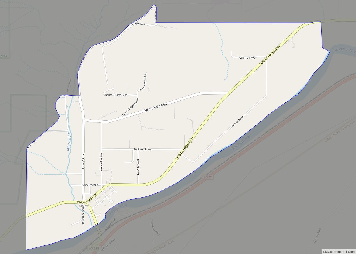
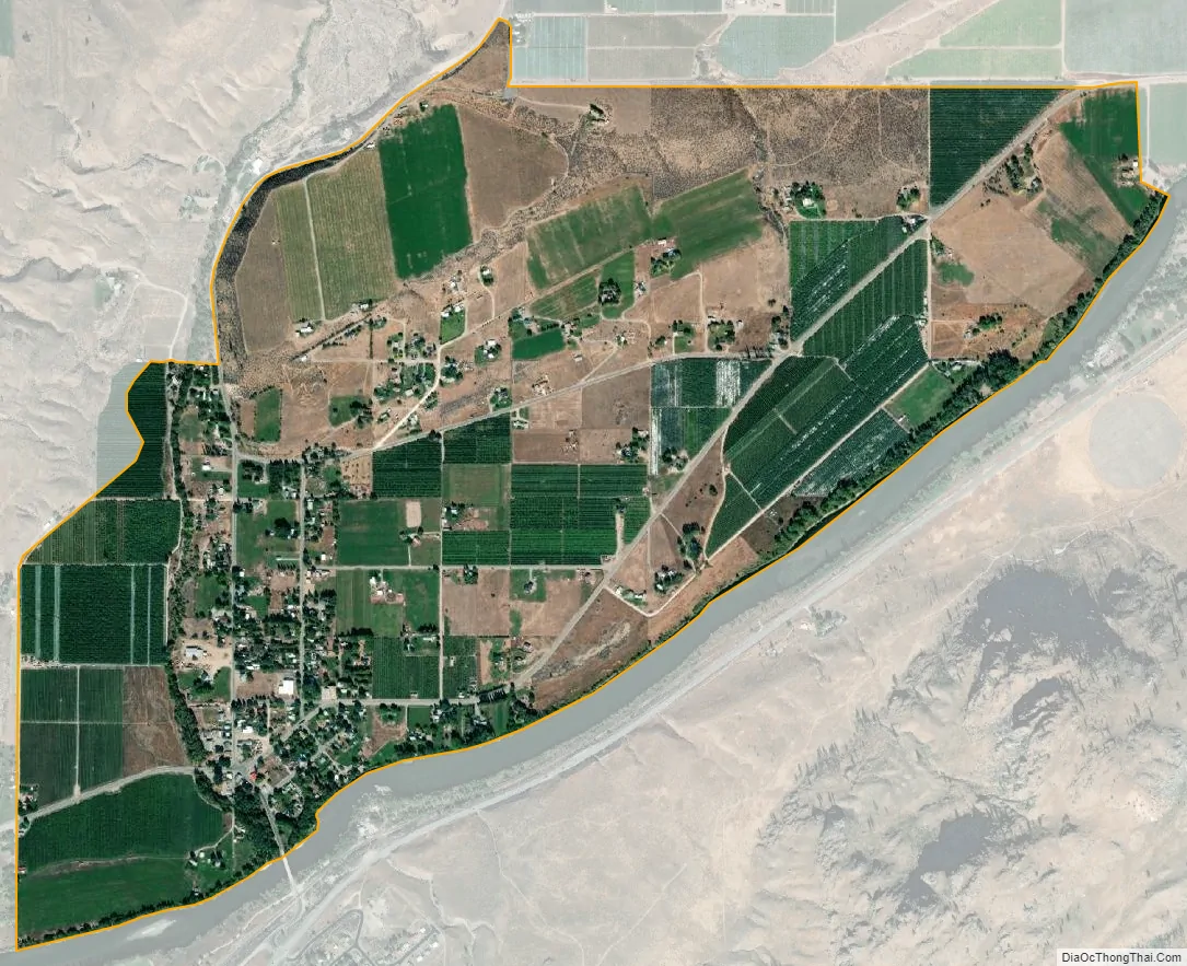
Malott sits on the western bank of the Okanogan River and has bridge access to U.S. Route 97. It has a general store, bar and church. The community took its name from L.C. Malott, who first settled in the area in 1886. The town was established in 1890 and platted in 1909. Originally a stopover point with a hotel, most of the town was destroyed by flooding in 1938 after a dam burst on Loop Loop Creek. Malott was evacuated in July 2014 due to the approaching Carlton Complex wildfires.
The city of Okanogan lies 9 miles (14 km) to the northeast.
| Name: | Malott CDP |
|---|---|
| LSAD Code: | 57 |
| LSAD Description: | CDP (suffix) |
| State: | Washington |
| County: | Okanogan County |
| FIPS code: | 5342380 |
Online Interactive Map
Click on ![]() to view map in "full screen" mode.
to view map in "full screen" mode.
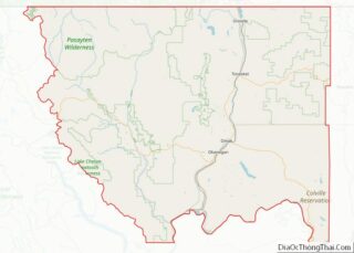
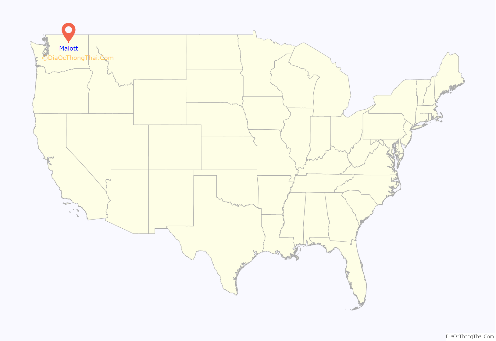
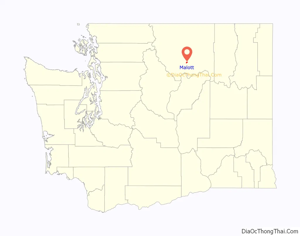
Malott location map. Where is Malott CDP?
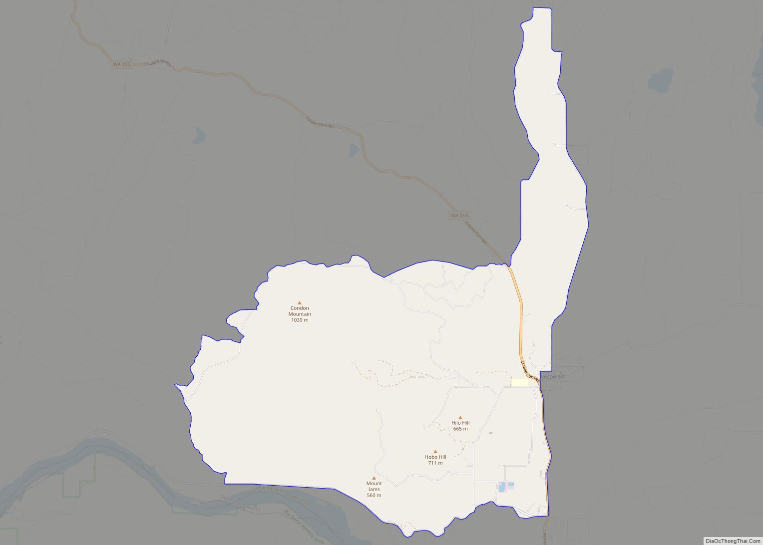
Malott Road Map
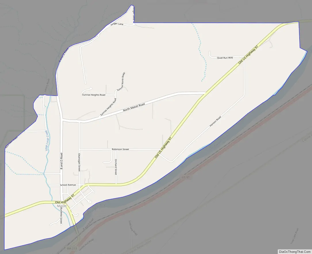
Malott city Satellite Map
See also
Map of Washington State and its subdivision:- Adams
- Asotin
- Benton
- Chelan
- Clallam
- Clark
- Columbia
- Cowlitz
- Douglas
- Ferry
- Franklin
- Garfield
- Grant
- Grays Harbor
- Island
- Jefferson
- King
- Kitsap
- Kittitas
- Klickitat
- Lewis
- Lincoln
- Mason
- Okanogan
- Pacific
- Pend Oreille
- Pierce
- San Juan
- Skagit
- Skamania
- Snohomish
- Spokane
- Stevens
- Thurston
- Wahkiakum
- Walla Walla
- Whatcom
- Whitman
- Yakima
- Alabama
- Alaska
- Arizona
- Arkansas
- California
- Colorado
- Connecticut
- Delaware
- District of Columbia
- Florida
- Georgia
- Hawaii
- Idaho
- Illinois
- Indiana
- Iowa
- Kansas
- Kentucky
- Louisiana
- Maine
- Maryland
- Massachusetts
- Michigan
- Minnesota
- Mississippi
- Missouri
- Montana
- Nebraska
- Nevada
- New Hampshire
- New Jersey
- New Mexico
- New York
- North Carolina
- North Dakota
- Ohio
- Oklahoma
- Oregon
- Pennsylvania
- Rhode Island
- South Carolina
- South Dakota
- Tennessee
- Texas
- Utah
- Vermont
- Virginia
- Washington
- West Virginia
- Wisconsin
- Wyoming