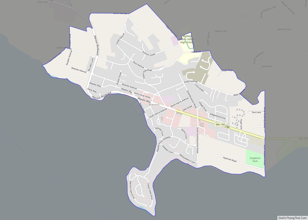
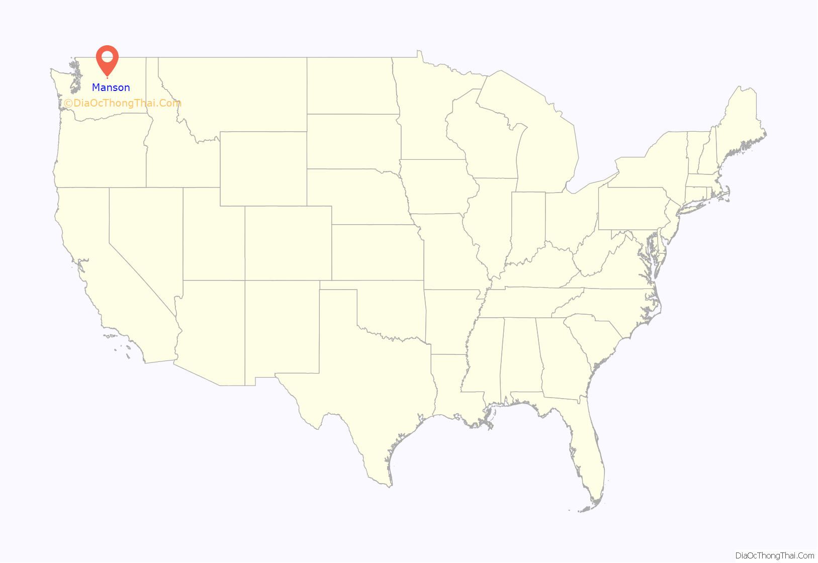
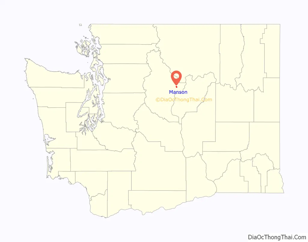
Manson is an unincorporated community and census-designated place in Chelan County in the U.S. state of Washington. It was named in 1912 for Manson F. Backus, president of the Lake Chelan Land Company. Manson is located in the north-central portion of the state on the north shore of Lake Chelan, approximately 7 miles (11 km) northwest of the city of Chelan.
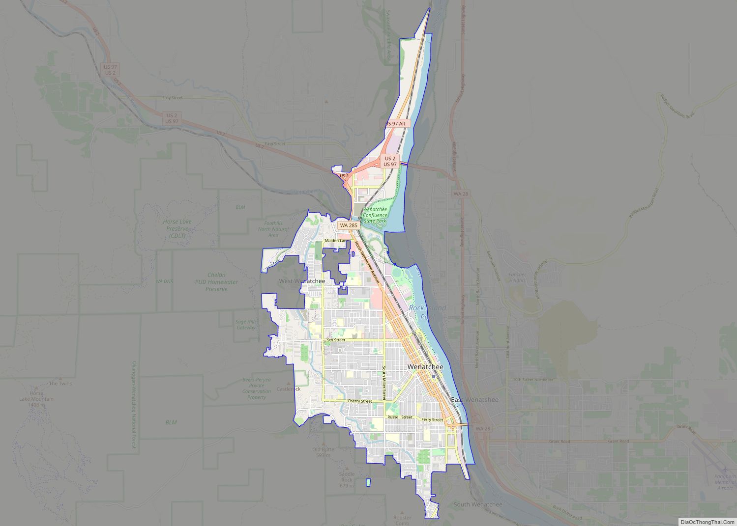
Manson is part of the Wenatchee–East Wenatchee Metropolitan Statistical Area.
The USPS ZIP code for Manson is 98831. As of the 2020 census, the population in the Manson was 1,523. 2010 was the first year that Manson was tracked by the census bureau.
Manson is home to a number of notable wineries; Tildeo, Cairdeas, Succession, Lake Chelan Winery, Chelan Ridge and Amos Rome
| Name: | Manson CDP |
|---|---|
| LSAD Code: | 57 |
| LSAD Description: | CDP (suffix) |
| State: | Washington |
| County: | Chelan County |
| Elevation: | 1,140 ft (350 m) |
| Total Area: | 1.25 sq mi (3.25 km²) |
| Land Area: | 1.25 sq mi (3.25 km²) |
| Water Area: | 0.0 sq mi (0.0 km²) |
| Total Population: | 1,523 |
| Population Density: | 1,171/sq mi (452.3/km²) |
| ZIP code: | 98831 |
| Area code: | 509 |
| FIPS code: | 5342835 |
| GNISfeature ID: | 1522682 |
Online Interactive Map
Click on ![]() to view map in "full screen" mode.
to view map in "full screen" mode.
Manson location map. Where is Manson CDP?
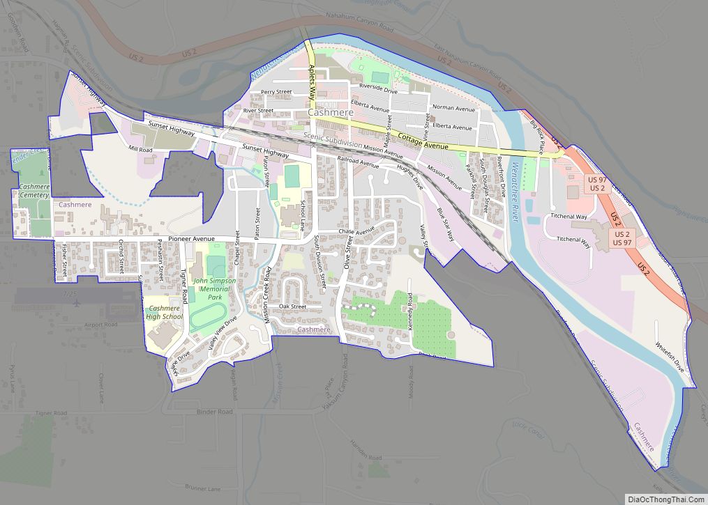
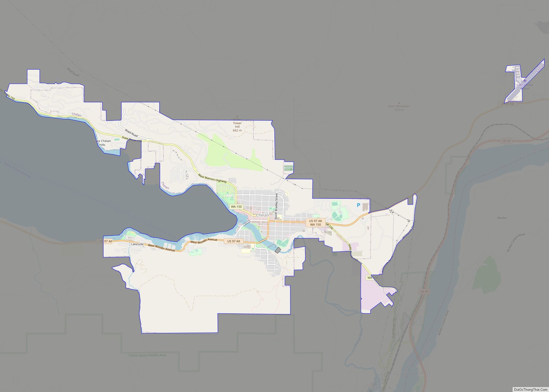
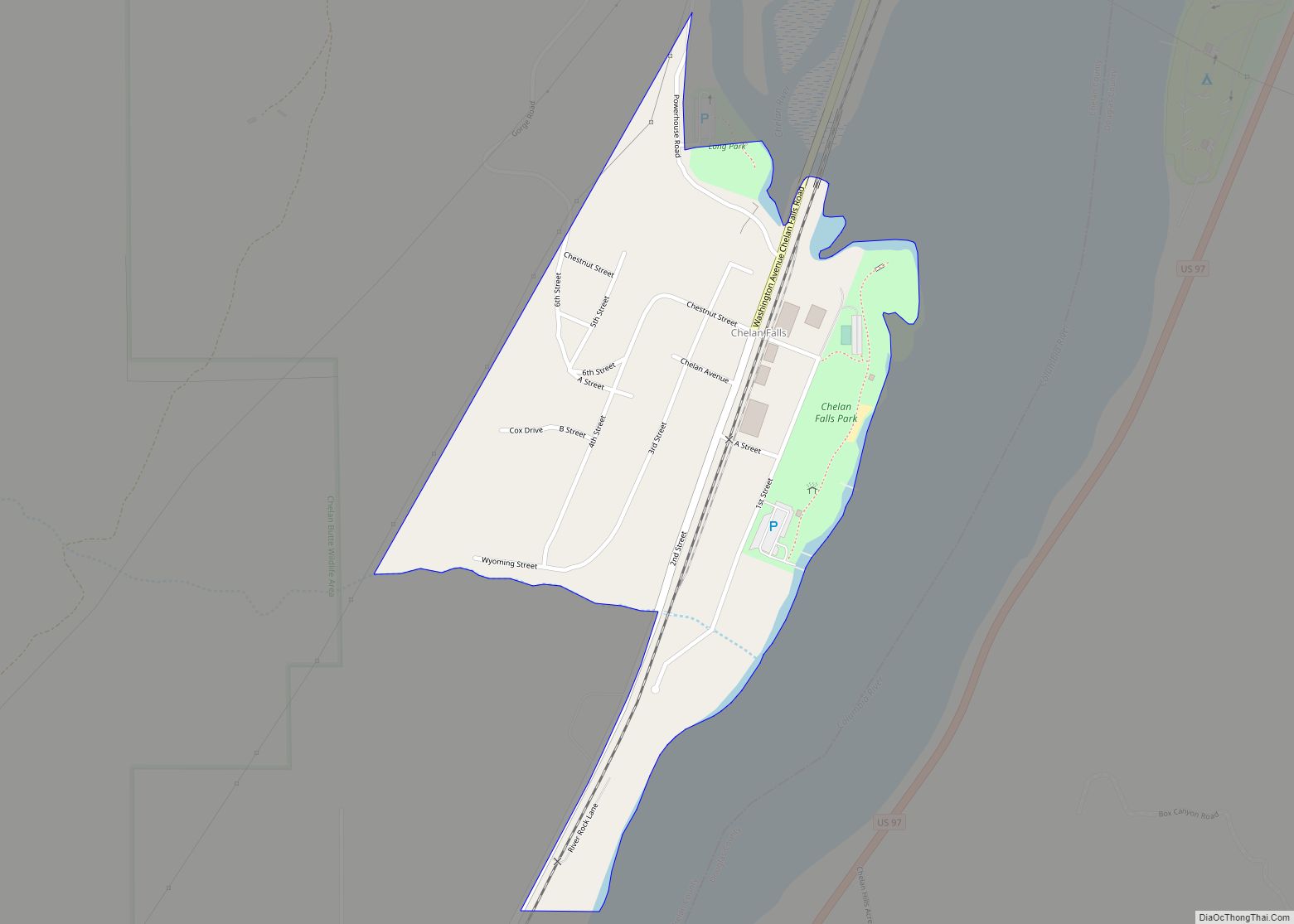
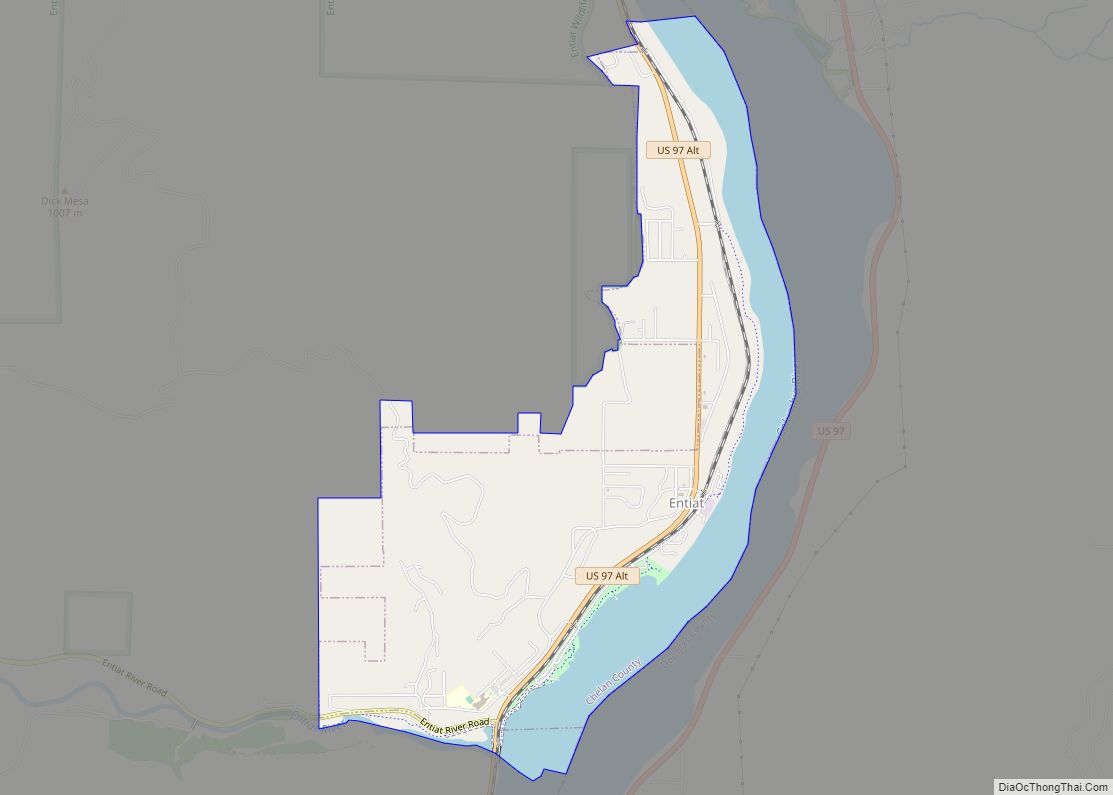
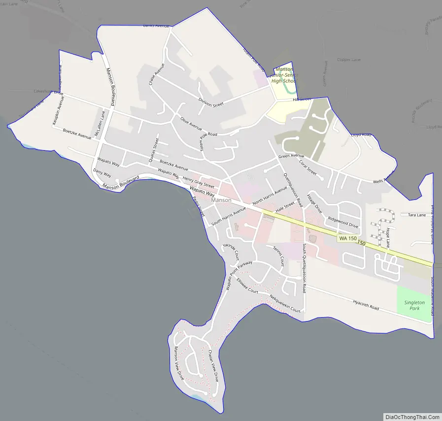
Manson Road Map
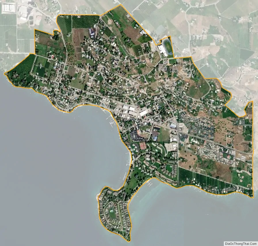
Manson city Satellite Map
See also
Map of Washington State and its subdivision:- Adams
- Asotin
- Benton
- Chelan
- Clallam
- Clark
- Columbia
- Cowlitz
- Douglas
- Ferry
- Franklin
- Garfield
- Grant
- Grays Harbor
- Island
- Jefferson
- King
- Kitsap
- Kittitas
- Klickitat
- Lewis
- Lincoln
- Mason
- Okanogan
- Pacific
- Pend Oreille
- Pierce
- San Juan
- Skagit
- Skamania
- Snohomish
- Spokane
- Stevens
- Thurston
- Wahkiakum
- Walla Walla
- Whatcom
- Whitman
- Yakima
- Alabama
- Alaska
- Arizona
- Arkansas
- California
- Colorado
- Connecticut
- Delaware
- District of Columbia
- Florida
- Georgia
- Hawaii
- Idaho
- Illinois
- Indiana
- Iowa
- Kansas
- Kentucky
- Louisiana
- Maine
- Maryland
- Massachusetts
- Michigan
- Minnesota
- Mississippi
- Missouri
- Montana
- Nebraska
- Nevada
- New Hampshire
- New Jersey
- New Mexico
- New York
- North Carolina
- North Dakota
- Ohio
- Oklahoma
- Oregon
- Pennsylvania
- Rhode Island
- South Carolina
- South Dakota
- Tennessee
- Texas
- Utah
- Vermont
- Virginia
- Washington
- West Virginia
- Wisconsin
- Wyoming