Maple Heights-Lake Desire is a census-designated place (CDP) in King County, Washington, United States. At the 2010 census, the population was 3,152.
Based on per capita income, one of the more reliable measures of affluence, Maple Heights-Lake Desire ranks 28th of 522 areas in the state of Washington to be ranked.
| Name: | Maple Heights-Lake Desire CDP |
|---|---|
| LSAD Code: | 57 |
| LSAD Description: | CDP (suffix) |
| State: | Washington |
| County: | King County |
| Elevation: | 650 ft (200 m) |
| Total Area: | 4.31 sq mi (11.15 km²) |
| Land Area: | 4.10 sq mi (10.63 km²) |
| Water Area: | 0.20 sq mi (0.52 km²) |
| Total Population: | 3,152 |
| Population Density: | 768/sq mi (296.6/km²) |
| FIPS code: | 5343062 |
| GNISfeature ID: | 2408172 |
Online Interactive Map
Click on ![]() to view map in "full screen" mode.
to view map in "full screen" mode.
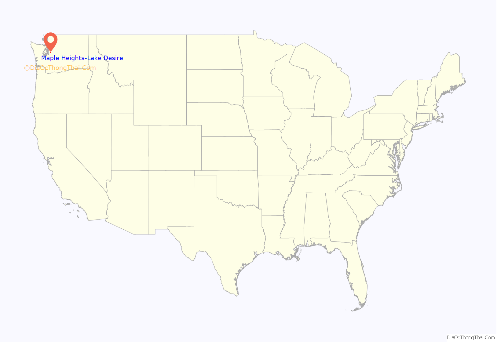
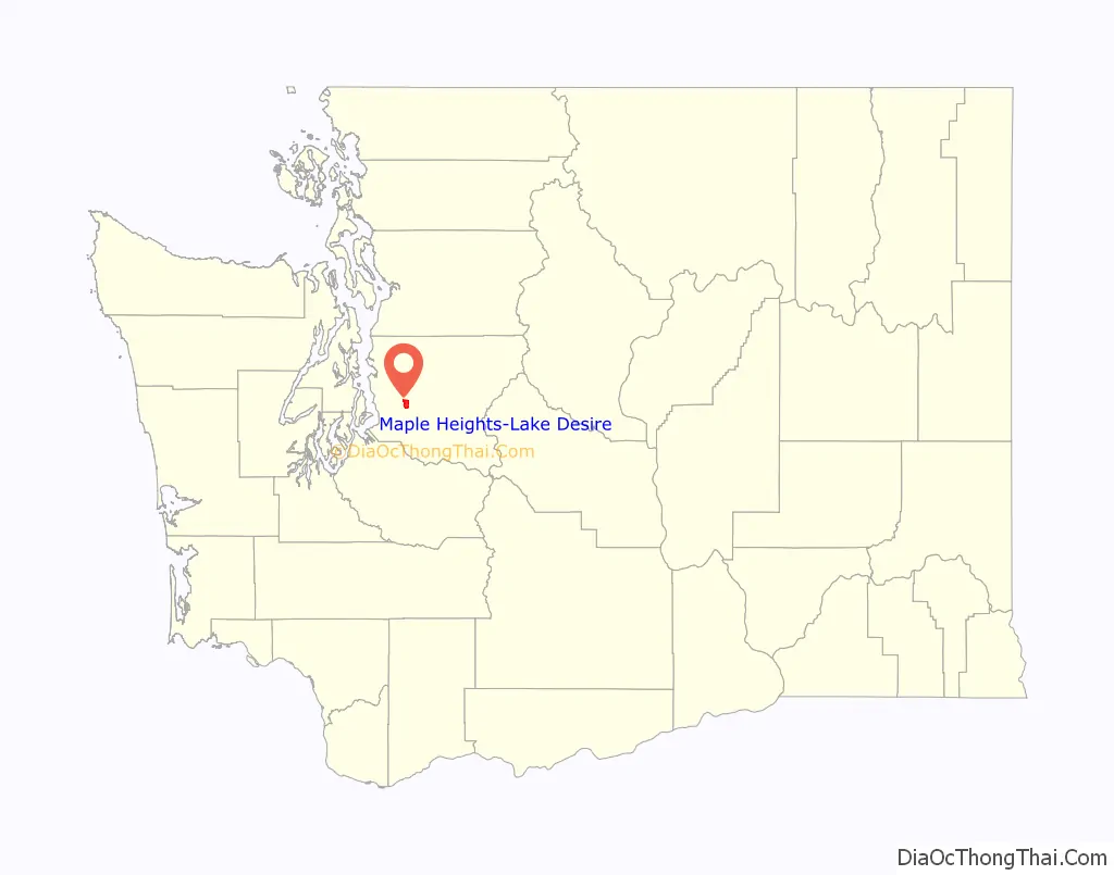
Maple Heights-Lake Desire location map. Where is Maple Heights-Lake Desire CDP?
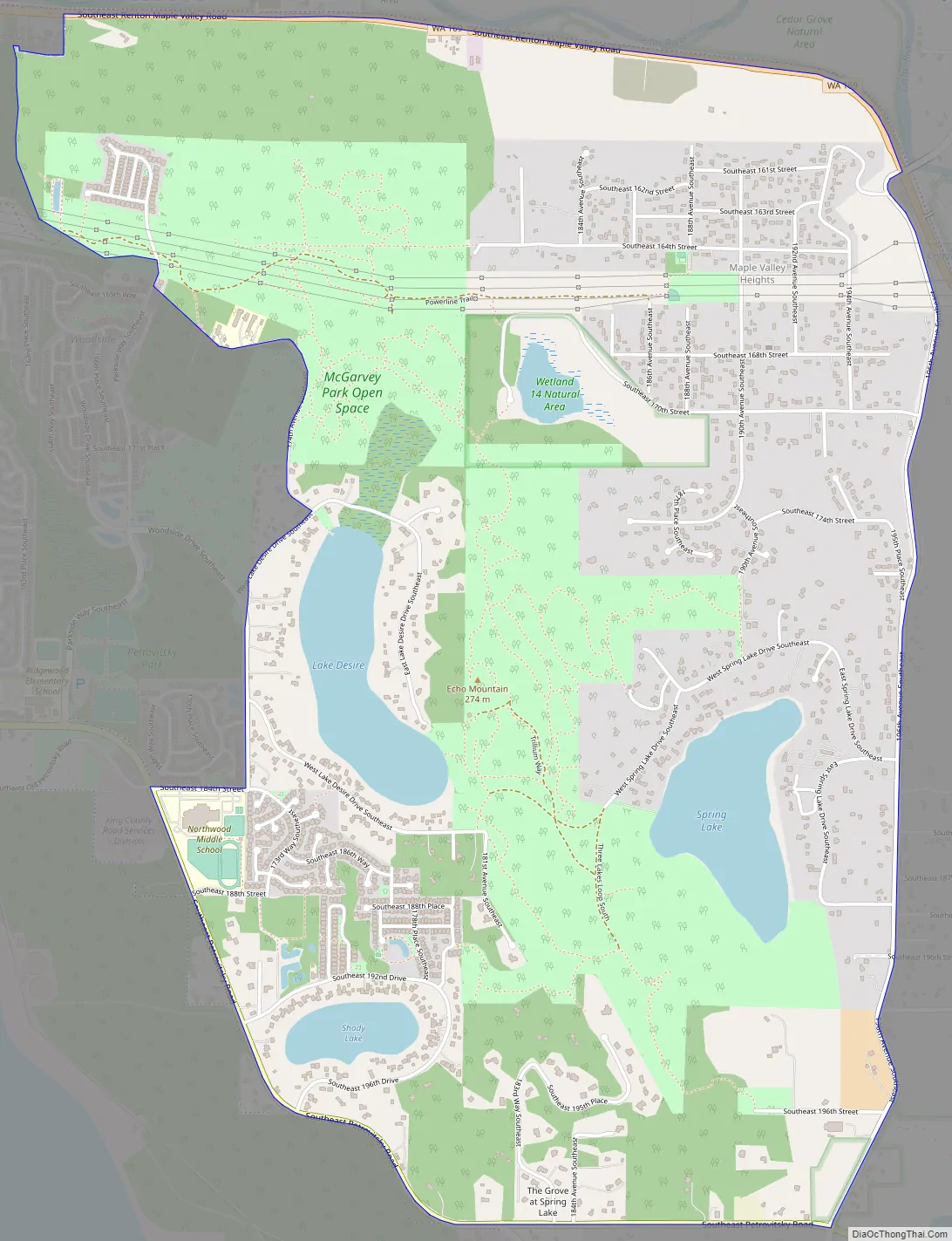
Maple Heights-Lake Desire Road Map
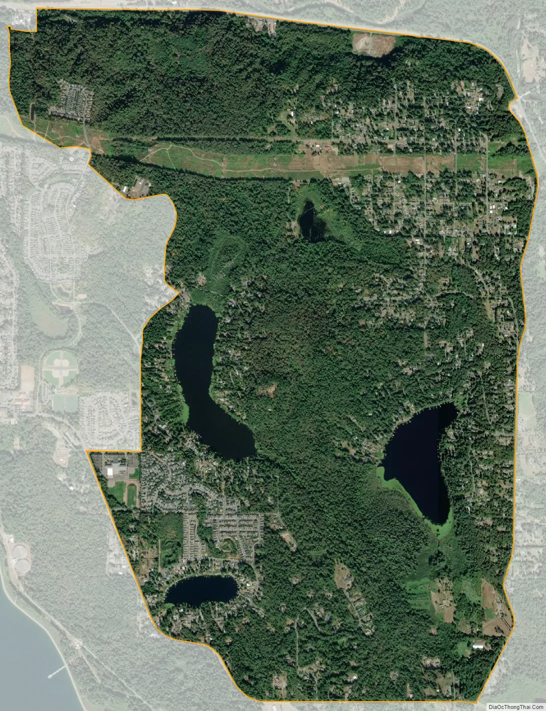
Maple Heights-Lake Desire city Satellite Map
Geography
Maple Heights-Lake Desire is located in west-central King County at 47°26′44″N 122°5′27″W / 47.44556°N 122.09083°W / 47.44556; -122.09083 (47.445557, -122.090771). It is bordered to the west by the Fairwood CDP, with which it shares a ZIP code, and to the south by the Shadow Lake CDP. Washington State Route 169, running through the Cedar River valley, forms the northern border, and the eastern boundary follows 196th Avenue SE. The southern border of the CDP is SE Petrovitsky Road. The community is 6 miles (10 km) southeast of Renton and 16 miles (26 km) southeast of downtown Seattle.
According to the United States Census Bureau, the CDP has a total area of 4.3 square miles (11.2 km), of which 4.1 square miles (10.6 km) are land and 0.2 square miles (0.5 km), or 4.68%, are water. Lake Desire is in the western part of the CDP, and Spring Lake is in the east. 896-foot (273 m) Cedar Mountain sits between the two lakes and contains a trail network. The neighborhood of Maple Valley Heights is in the northeast.
See also
Map of Washington State and its subdivision:- Adams
- Asotin
- Benton
- Chelan
- Clallam
- Clark
- Columbia
- Cowlitz
- Douglas
- Ferry
- Franklin
- Garfield
- Grant
- Grays Harbor
- Island
- Jefferson
- King
- Kitsap
- Kittitas
- Klickitat
- Lewis
- Lincoln
- Mason
- Okanogan
- Pacific
- Pend Oreille
- Pierce
- San Juan
- Skagit
- Skamania
- Snohomish
- Spokane
- Stevens
- Thurston
- Wahkiakum
- Walla Walla
- Whatcom
- Whitman
- Yakima
- Alabama
- Alaska
- Arizona
- Arkansas
- California
- Colorado
- Connecticut
- Delaware
- District of Columbia
- Florida
- Georgia
- Hawaii
- Idaho
- Illinois
- Indiana
- Iowa
- Kansas
- Kentucky
- Louisiana
- Maine
- Maryland
- Massachusetts
- Michigan
- Minnesota
- Mississippi
- Missouri
- Montana
- Nebraska
- Nevada
- New Hampshire
- New Jersey
- New Mexico
- New York
- North Carolina
- North Dakota
- Ohio
- Oklahoma
- Oregon
- Pennsylvania
- Rhode Island
- South Carolina
- South Dakota
- Tennessee
- Texas
- Utah
- Vermont
- Virginia
- Washington
- West Virginia
- Wisconsin
- Wyoming


