Marrowstone is a census-designated place (CDP) in Jefferson County, Washington, United States. The population was 844 at the 2010 census. All Marrowstone addresses are in Nordland, Washington, and the ZIP code for Marrowstone Island is 98358.
Marrowstone takes its name from Marrowstone Point, the northernmost point on Marrowstone Island. It was given the name “Marrow-Stone Point” in 1792 by the British explorer, George Vancouver, in describing the area’s hard, clay-like soil.
| Name: | Marrowstone CDP |
|---|---|
| LSAD Code: | 57 |
| LSAD Description: | CDP (suffix) |
| State: | Washington |
| County: | Jefferson County |
| Elevation: | 16 ft (5 m) |
| Total Area: | 6.3 sq mi (16.4 km²) |
| Land Area: | 6.3 sq mi (16.4 km²) |
| Water Area: | 0.0 sq mi (0.0 km²) |
| Total Population: | 844 |
| Population Density: | 132.4/sq mi (51.1/km²) |
| FIPS code: | 5343762 |
| GNISfeature ID: | 1852949 |
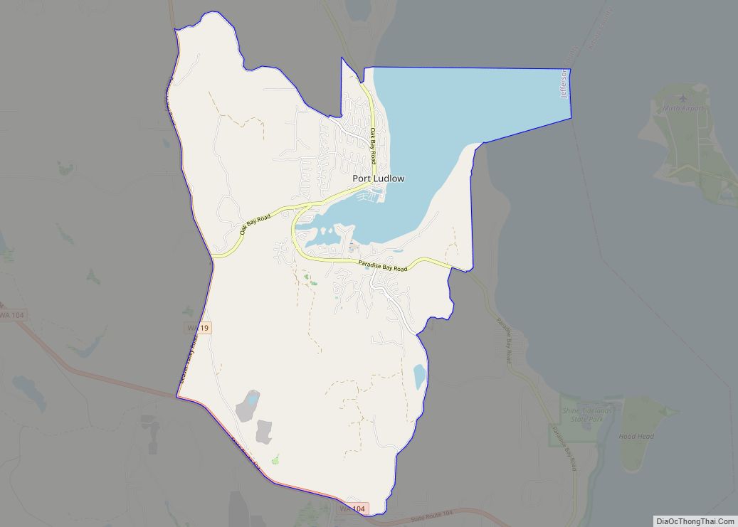
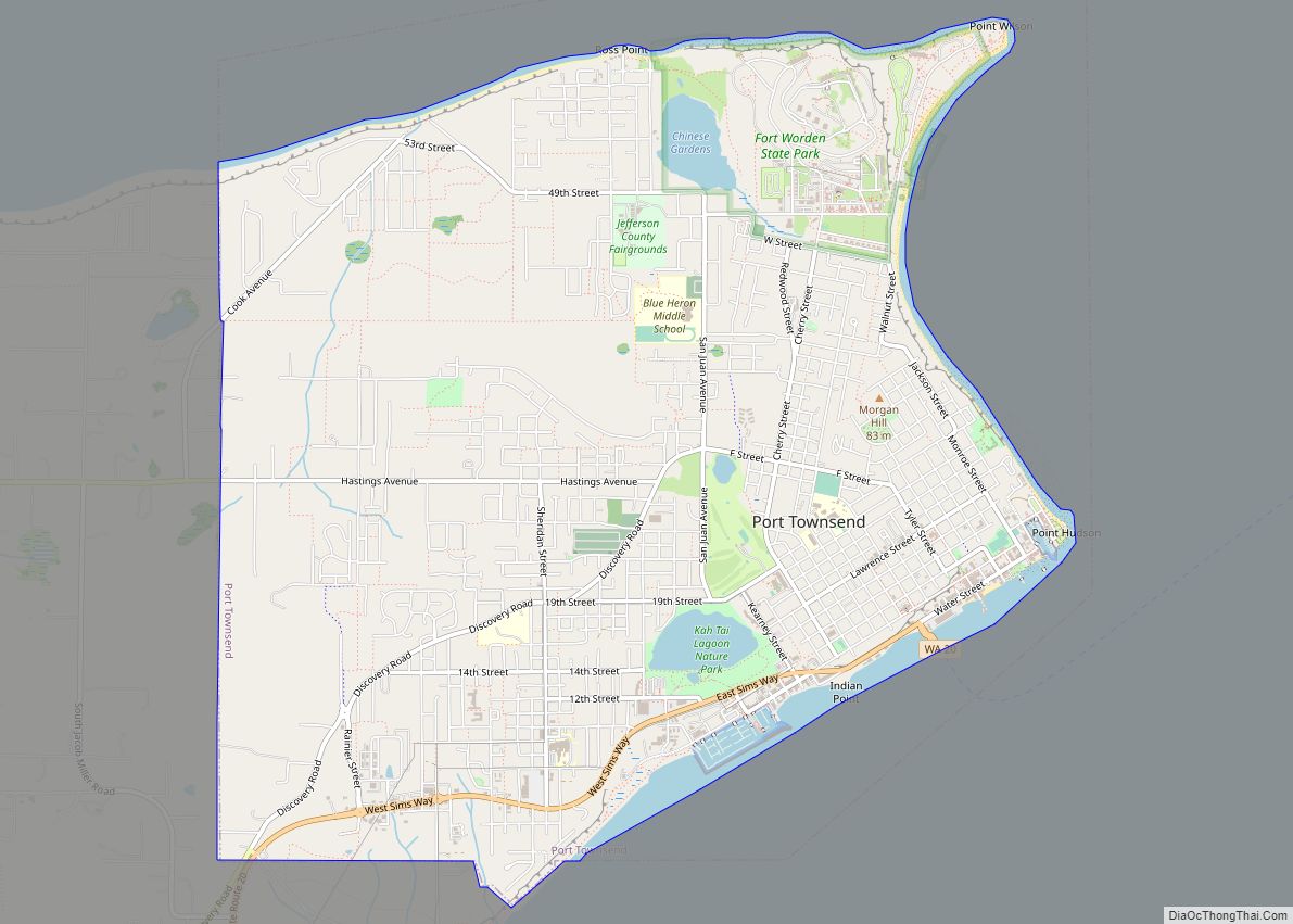
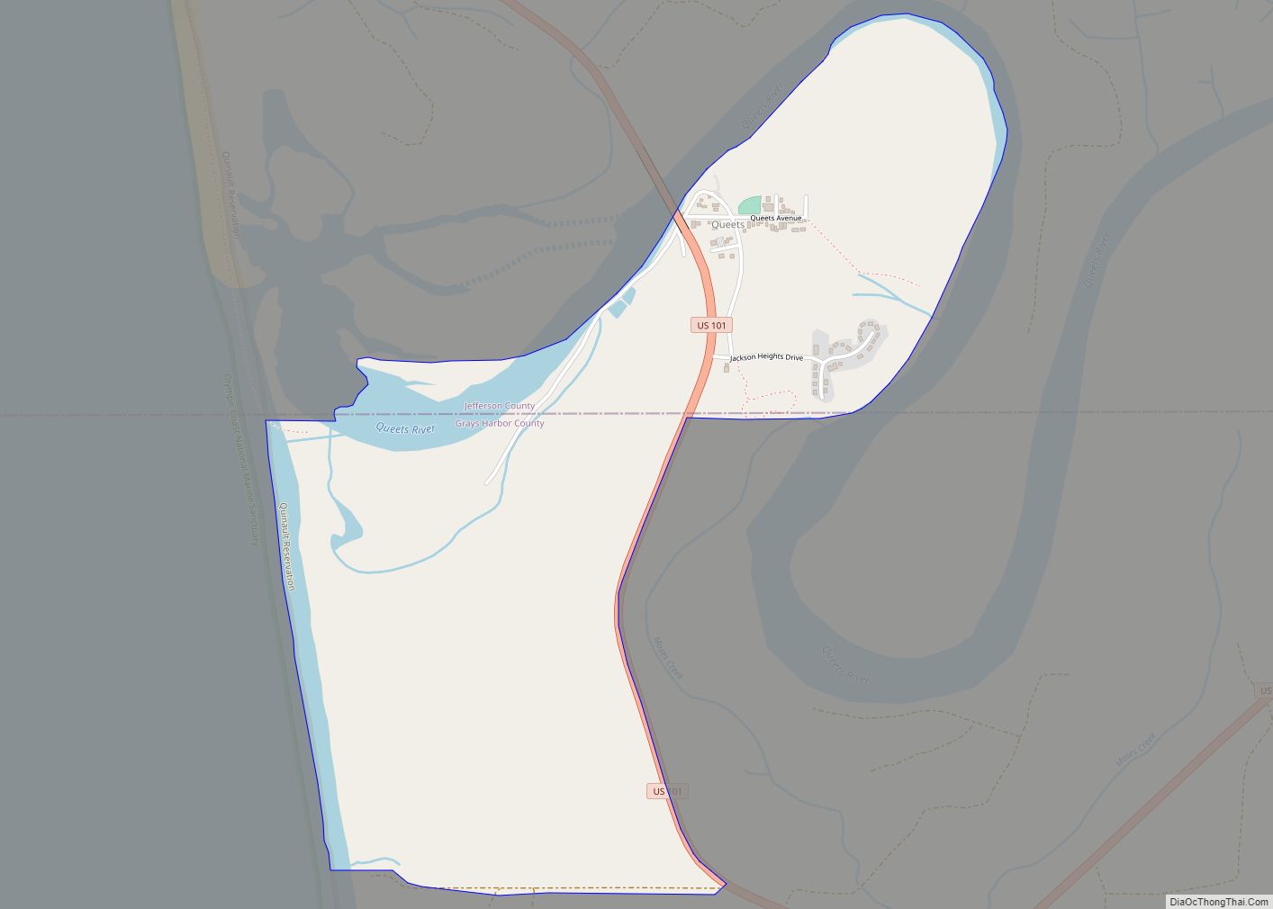
Online Interactive Map
Click on ![]() to view map in "full screen" mode.
to view map in "full screen" mode.
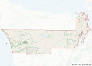
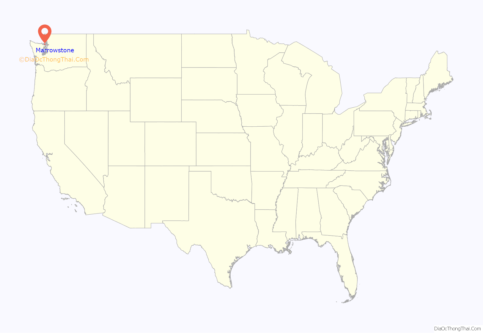
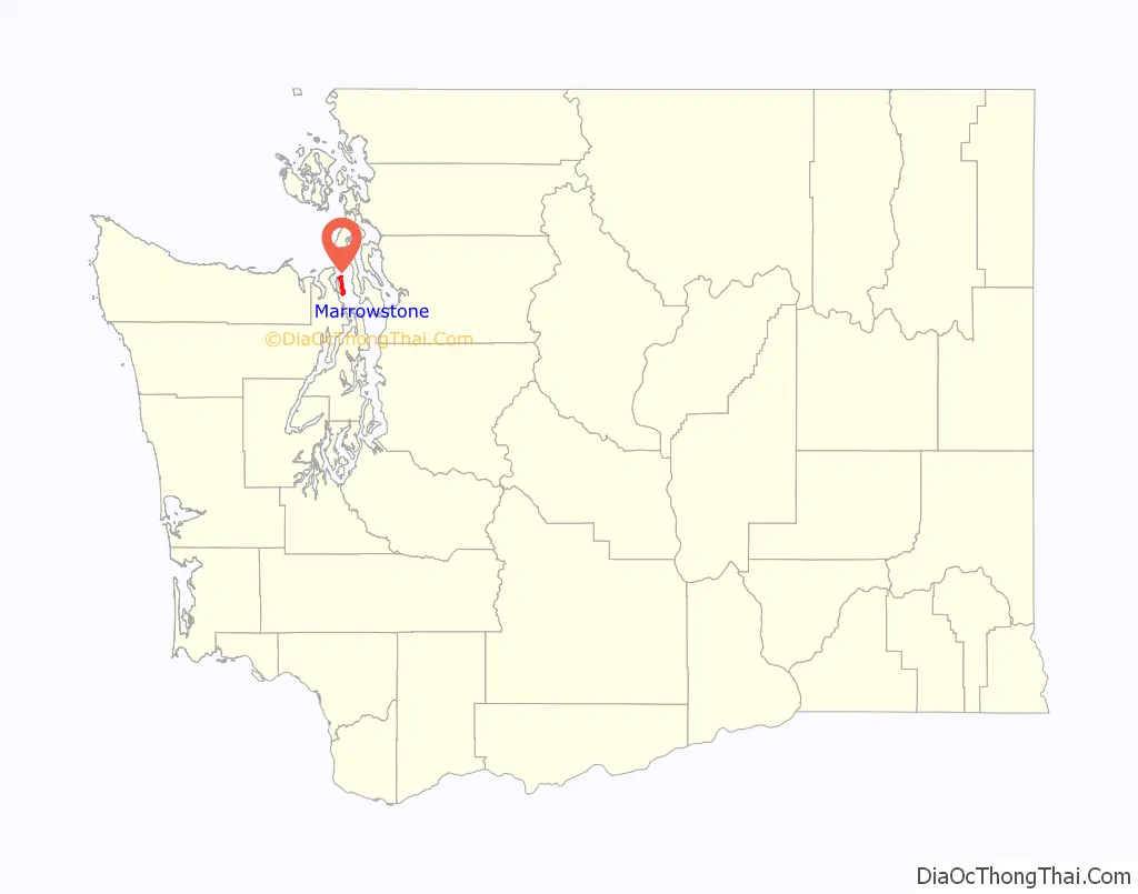
Marrowstone location map. Where is Marrowstone CDP?
History
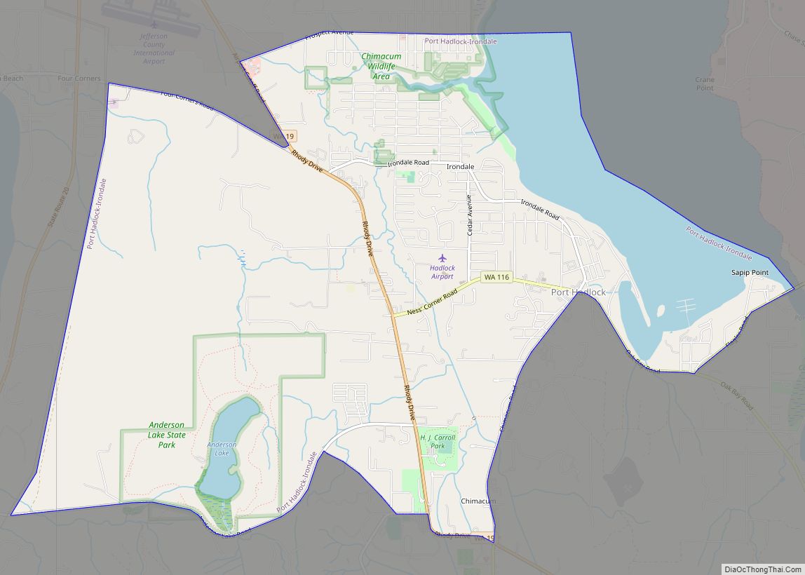
A post office called Nordland has been in operation since 1898. The community derives its name from Peter Nordby, the original owner of the town site.
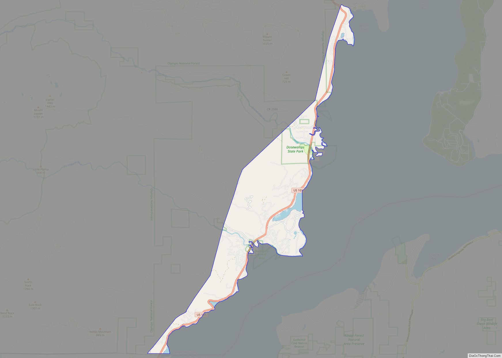
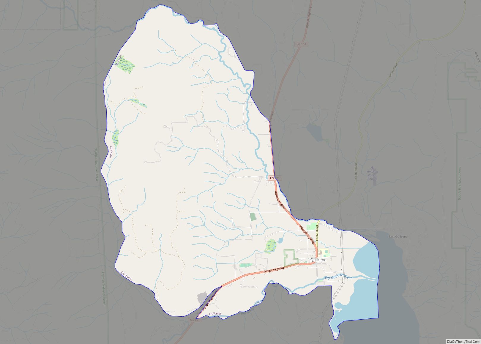
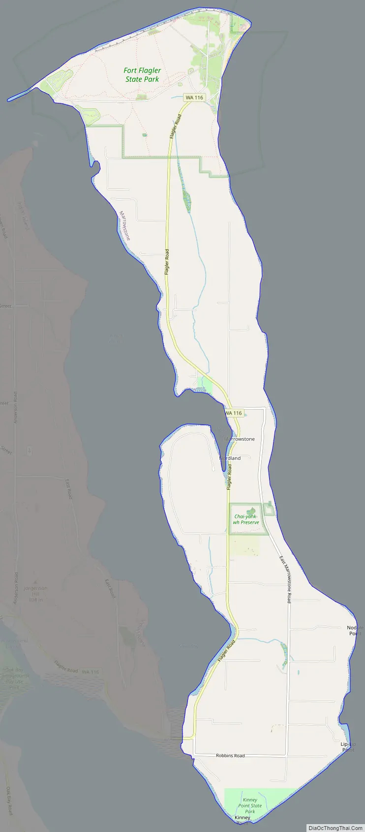
Marrowstone Road Map
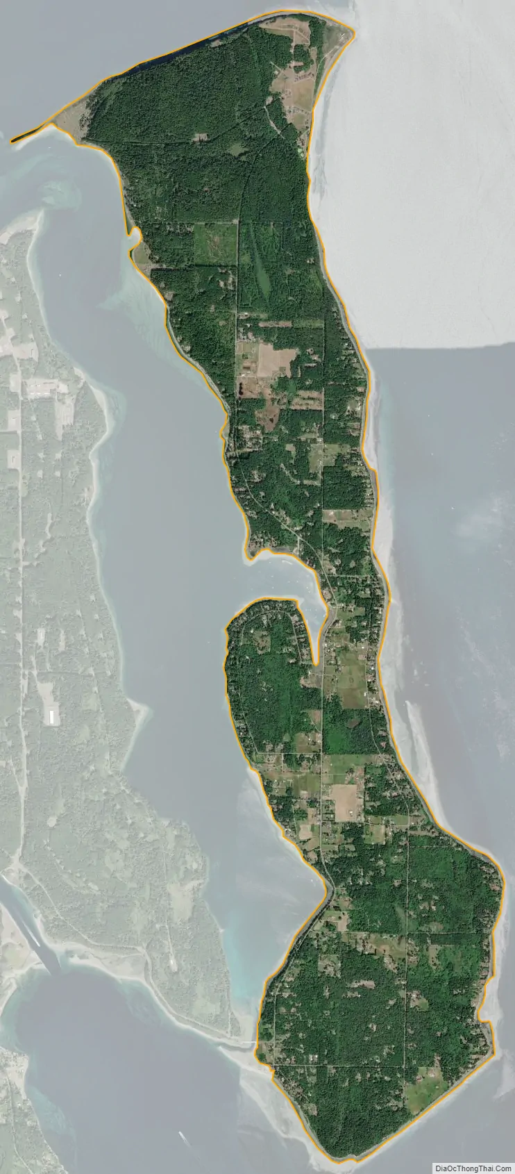
Marrowstone city Satellite Map
Geography
Marrowstone is located at 48°3′30″N 122°41′17″W / 48.05833°N 122.68806°W / 48.05833; -122.68806 (48.058323, -122.687943).
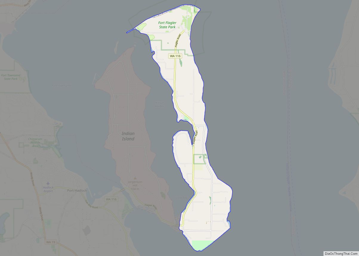
According to the United States Census Bureau, the CDP has a total area of 6.3 square miles (16.4 km), all of it land.
Prominent land features include:
- Marrowstone Point, at the northern end of Marrowstone Island;
- Kinney Point, at the southern end of the island;
- Nodule Point, on the east side, mid island;
- Mystery Bay, an inlet on the western side of Marrowstone Island;
- Griffiths Point, on the western side of Mystery Bay;
- East Beach, a sandy beach at the northern end of East Marrowstone Road; and
- Scow Bay/Kilisut Harbor, which separates Marrowstone Island from its western neighbor, Indian Island, a Navy ammunition depot.
A narrow causeway connects the southwestern end of Marrowstone Island with the southern end of Indian Island. A short bridge joins the western side of Indian Island to the mainland of Jefferson County.
Fort Flagler, a Washington state park, is situated on 784 acres (314 hectares) at the northern end of Marrowstone Island. It overlooks Port Townsend Bay and Admiralty Inlet, the entrance to Puget Sound. Fort Flagler was one of three forts, along with Fort Worden (near Port Townsend) and Fort Casey (on Whidbey Island), that guarded the entrance to Puget Sound. Mystery Bay State Park is another state park on Marrowstone Island, located on 10 acres (4 hectares) of Mystery Bay shorefront about a half-mile north of the Nordland General Store. It is primarily for boaters. Kinney Point State Park comprises 76 acres (310,000 m) at the south end of the island. Accessible only by boat, it is part of the Cascadia Marine Trail.
Flagler Road (SR 116) runs along the western edge of Marrowstone Island, which is primarily low-lying. East Marrowstone Road runs along the eastern edge of the island, which consists largely of sandy bluffs, with the exception of the area near East Beach.
The Nordland General Store is Marrowstone’s only source of groceries. It is arguably the focal point of Marrowstone; on maps the town of Nordland (the address of all Marrowstone residents) is usually located at the site of the Nordland General Store. It can be found just across Flagler Road from Mystery Bay, near the center of Marrowstone Island. It was severely damaged by fire and forced to close in November 2020.
See also
Map of Washington State and its subdivision:- Adams
- Asotin
- Benton
- Chelan
- Clallam
- Clark
- Columbia
- Cowlitz
- Douglas
- Ferry
- Franklin
- Garfield
- Grant
- Grays Harbor
- Island
- Jefferson
- King
- Kitsap
- Kittitas
- Klickitat
- Lewis
- Lincoln
- Mason
- Okanogan
- Pacific
- Pend Oreille
- Pierce
- San Juan
- Skagit
- Skamania
- Snohomish
- Spokane
- Stevens
- Thurston
- Wahkiakum
- Walla Walla
- Whatcom
- Whitman
- Yakima
- Alabama
- Alaska
- Arizona
- Arkansas
- California
- Colorado
- Connecticut
- Delaware
- District of Columbia
- Florida
- Georgia
- Hawaii
- Idaho
- Illinois
- Indiana
- Iowa
- Kansas
- Kentucky
- Louisiana
- Maine
- Maryland
- Massachusetts
- Michigan
- Minnesota
- Mississippi
- Missouri
- Montana
- Nebraska
- Nevada
- New Hampshire
- New Jersey
- New Mexico
- New York
- North Carolina
- North Dakota
- Ohio
- Oklahoma
- Oregon
- Pennsylvania
- Rhode Island
- South Carolina
- South Dakota
- Tennessee
- Texas
- Utah
- Vermont
- Virginia
- Washington
- West Virginia
- Wisconsin
- Wyoming