McCleary (/məkˈklæriː/) is a city in Grays Harbor County, Washington, United States. The population was 1,997 at the 2020 census.
| Name: | McCleary city |
|---|---|
| LSAD Code: | 25 |
| LSAD Description: | city (suffix) |
| State: | Washington |
| County: | Grays Harbor County |
| Elevation: | 276 ft (84 m) |
| Total Area: | 2.07 sq mi (5.37 km²) |
| Land Area: | 2.05 sq mi (5.31 km²) |
| Water Area: | 0.02 sq mi (0.06 km²) |
| Total Population: | 1,997 |
| Population Density: | 860.49/sq mi (332.30/km²) |
| ZIP code: | 98557 |
| Area code: | 360 |
| FIPS code: | 5341225 |
| GNISfeature ID: | 1506537 |
| Website: | CityofMcCleary.com |
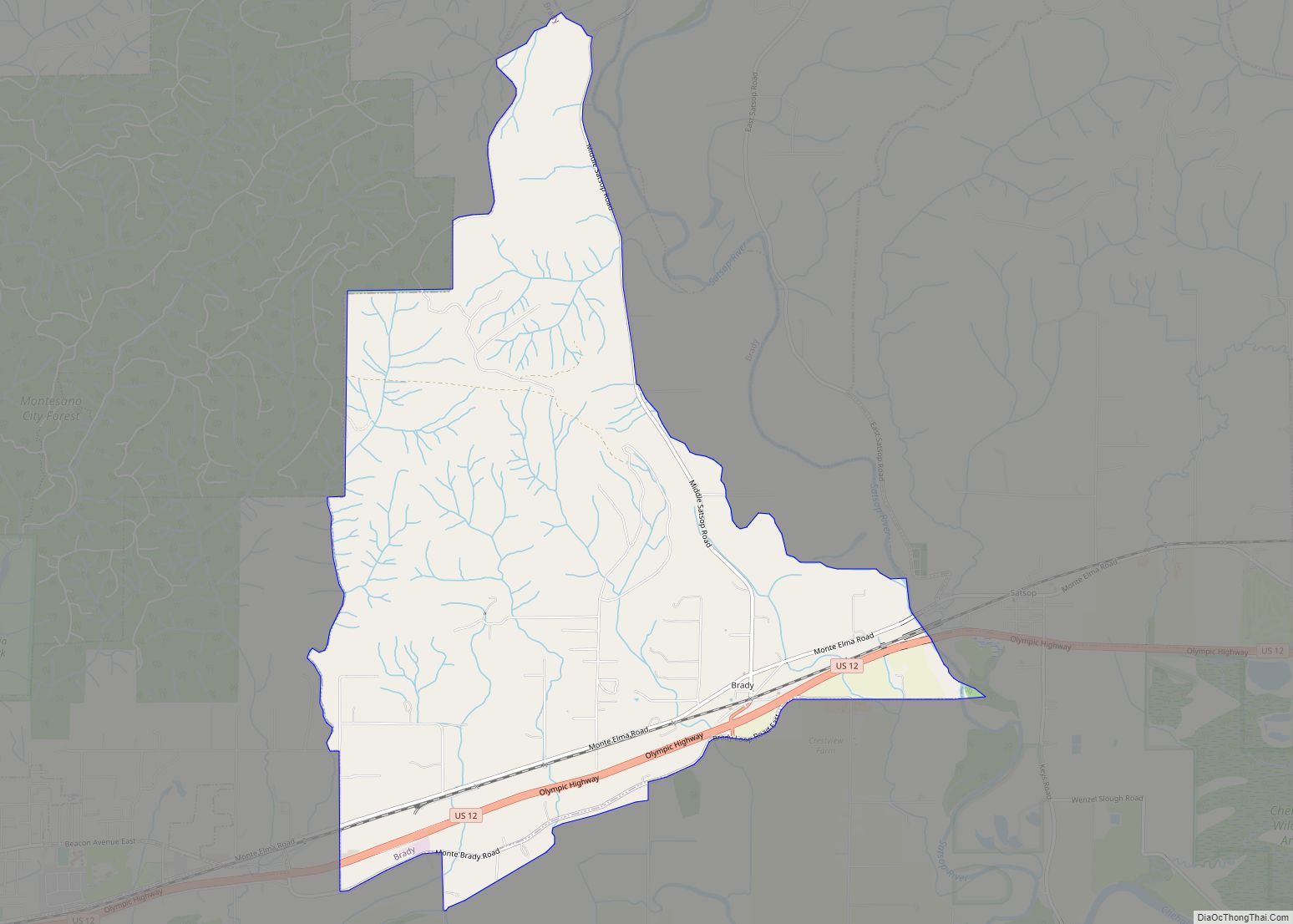
Online Interactive Map
Click on ![]() to view map in "full screen" mode.
to view map in "full screen" mode.
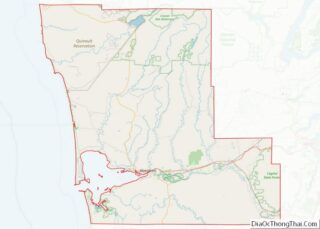
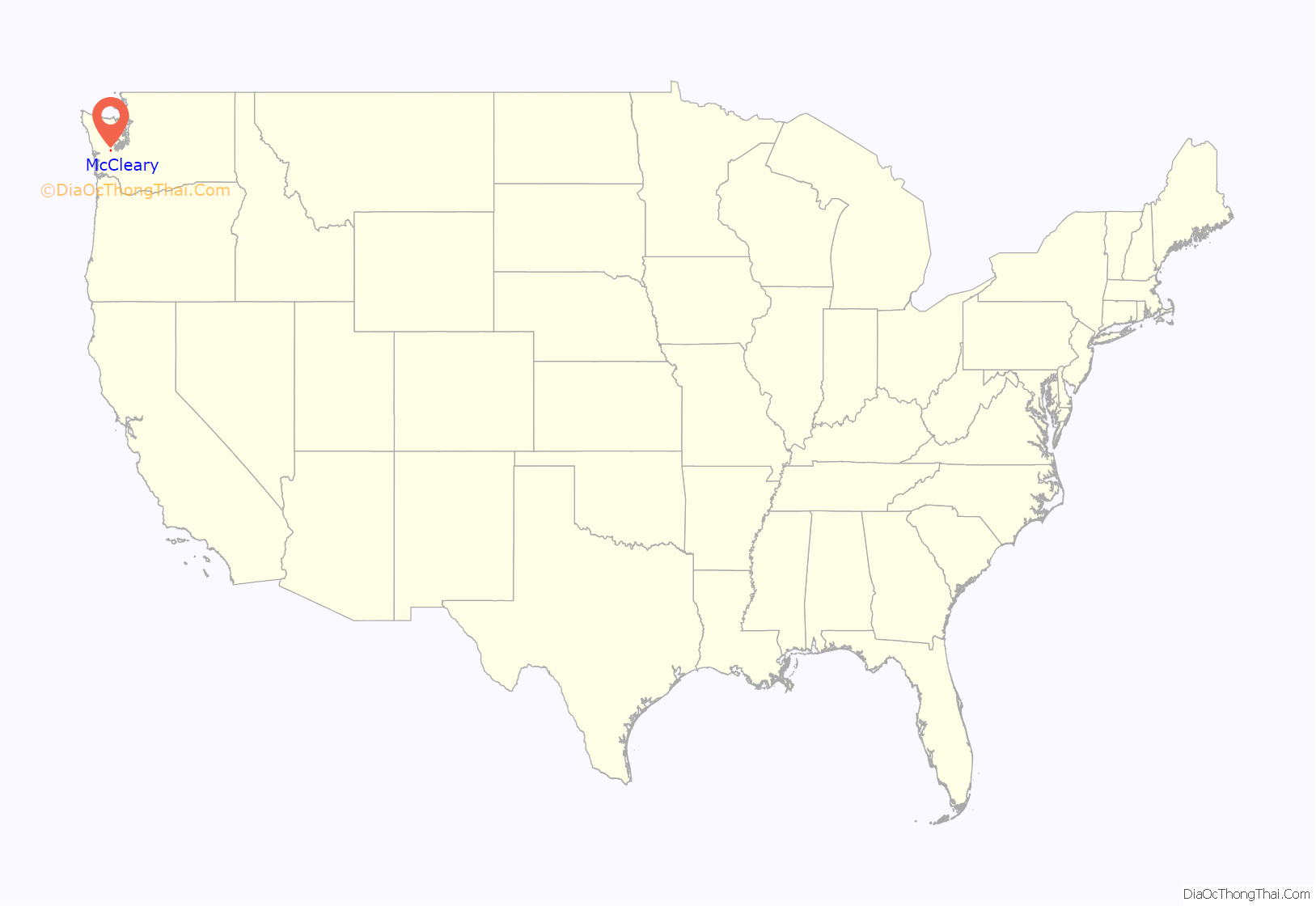
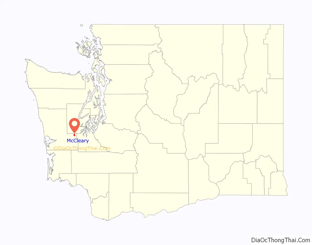
McCleary location map. Where is McCleary city?
History
Henry McCleary came to the land in 1897, building two sawmills and a door manufacturing company. He sold the land and the companies to Simpson Logging Company, December 31, 1941. On January 9, 1943 the land became an incorporated city named after its founder. The Henry McCleary House, designed by Joseph Wohleb, stills stands in Olympia, Washington and is listed on the National Register of Historic Places.
In 1959, McCleary started its Bear Festival. It was an idea that bears that were in surplus came and ate the bark from the evergreen trees and killing the trees after hibernation. People from all over have come to taste its bear stew. Although the bear stew is the big attraction to the festival, there is also a kiddies parade, grand parade, royal court ceremony, bands, dances, slow-pitch baseball, and many other events in all three days.
McCleary Road Map
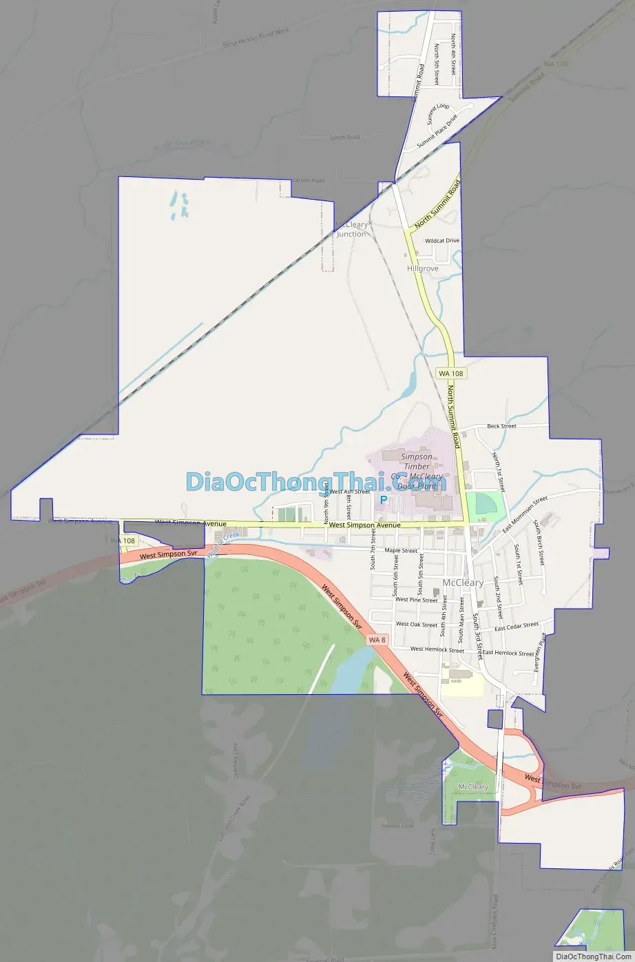
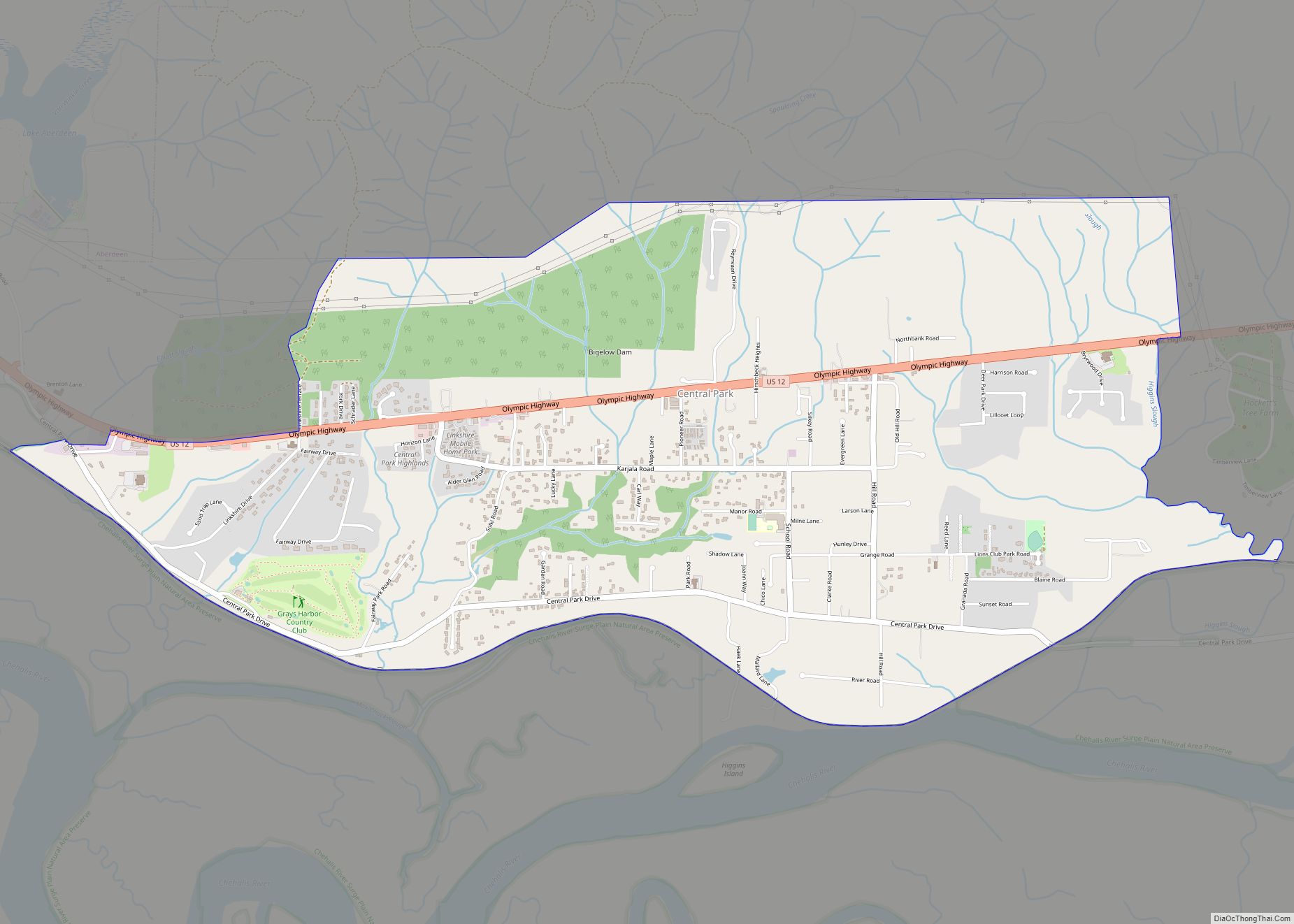
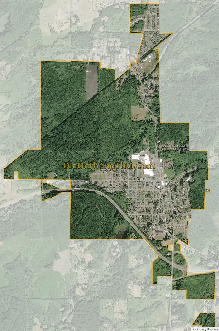
McCleary city Satellite Map
Geography
McCleary is located at 47°3′19″N 123°16′8″W / 47.05528°N 123.26889°W / 47.05528; -123.26889 (47.055359, -123.268859).
According to the United States Census Bureau, the city has a total area of 2.07 square miles (5.36 km), of which, 2.05 square miles (5.31 km) is land and 0.02 square miles (0.05 km) is water.
See also
Map of Washington State and its subdivision:- Adams
- Asotin
- Benton
- Chelan
- Clallam
- Clark
- Columbia
- Cowlitz
- Douglas
- Ferry
- Franklin
- Garfield
- Grant
- Grays Harbor
- Island
- Jefferson
- King
- Kitsap
- Kittitas
- Klickitat
- Lewis
- Lincoln
- Mason
- Okanogan
- Pacific
- Pend Oreille
- Pierce
- San Juan
- Skagit
- Skamania
- Snohomish
- Spokane
- Stevens
- Thurston
- Wahkiakum
- Walla Walla
- Whatcom
- Whitman
- Yakima
- Alabama
- Alaska
- Arizona
- Arkansas
- California
- Colorado
- Connecticut
- Delaware
- District of Columbia
- Florida
- Georgia
- Hawaii
- Idaho
- Illinois
- Indiana
- Iowa
- Kansas
- Kentucky
- Louisiana
- Maine
- Maryland
- Massachusetts
- Michigan
- Minnesota
- Mississippi
- Missouri
- Montana
- Nebraska
- Nevada
- New Hampshire
- New Jersey
- New Mexico
- New York
- North Carolina
- North Dakota
- Ohio
- Oklahoma
- Oregon
- Pennsylvania
- Rhode Island
- South Carolina
- South Dakota
- Tennessee
- Texas
- Utah
- Vermont
- Virginia
- Washington
- West Virginia
- Wisconsin
- Wyoming