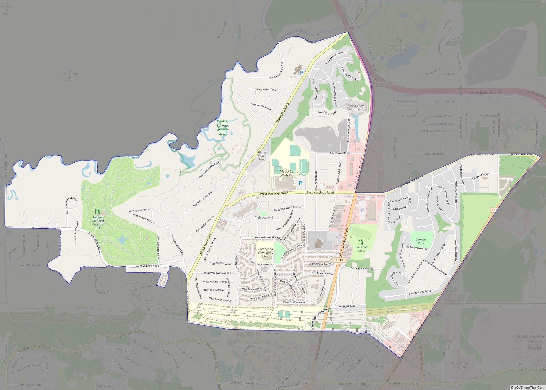
Mead is an unincorporated suburb and census-designated place north of Spokane in Spokane County, Washington, United States. Named for Civil War general George Meade, this rural area is tracked by the United States Census Bureau. As of 2020, the population of Mead was 7,576.
In 1900 Mead was the second stop on the Spokane Falls & Northern Railway. The community included the Cushing & Bryant general store, a blacksmith shop, a public school with approximately 60 students, a Methodist Episcopal church, and a Sunday school. At the time the post office was located in the Cushing & Bryant store.
Mead is home to the computer game development firm, Cyan Worlds, makers of Myst and Riven. The Kaiser Aluminum Mead Works, which operated as a leading area employer from 1942 until curtailment in 2001, is nearby. Mead is also home to the Hierophant Meadery, makers of Metheglin-style mead, otherwise known as honey wine.
| Name: | Mead CDP |
|---|---|
| LSAD Code: | 57 |
| LSAD Description: | CDP (suffix) |
| State: | Washington |
| County: | Spokane County |
| Total Area: | 7,576 |
| Land Area: | 7.26 sq mi (18.8 km²) |
| Population Density: | 1,043/sq mi (403/km²) |
| Area code: | 509 |
| FIPS code: | 5344480 |
Online Interactive Map
Click on ![]() to view map in "full screen" mode.
to view map in "full screen" mode.
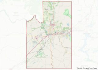
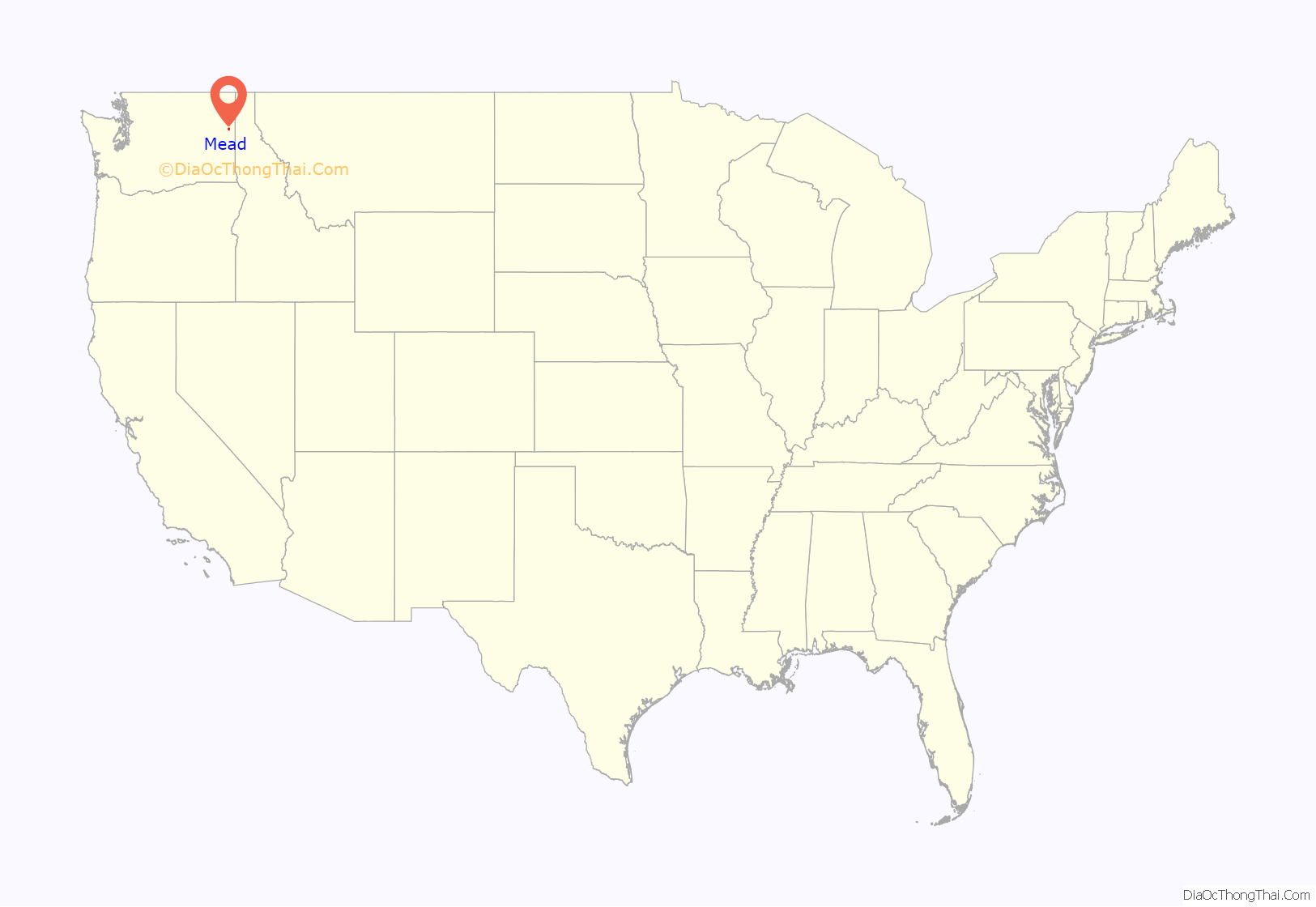
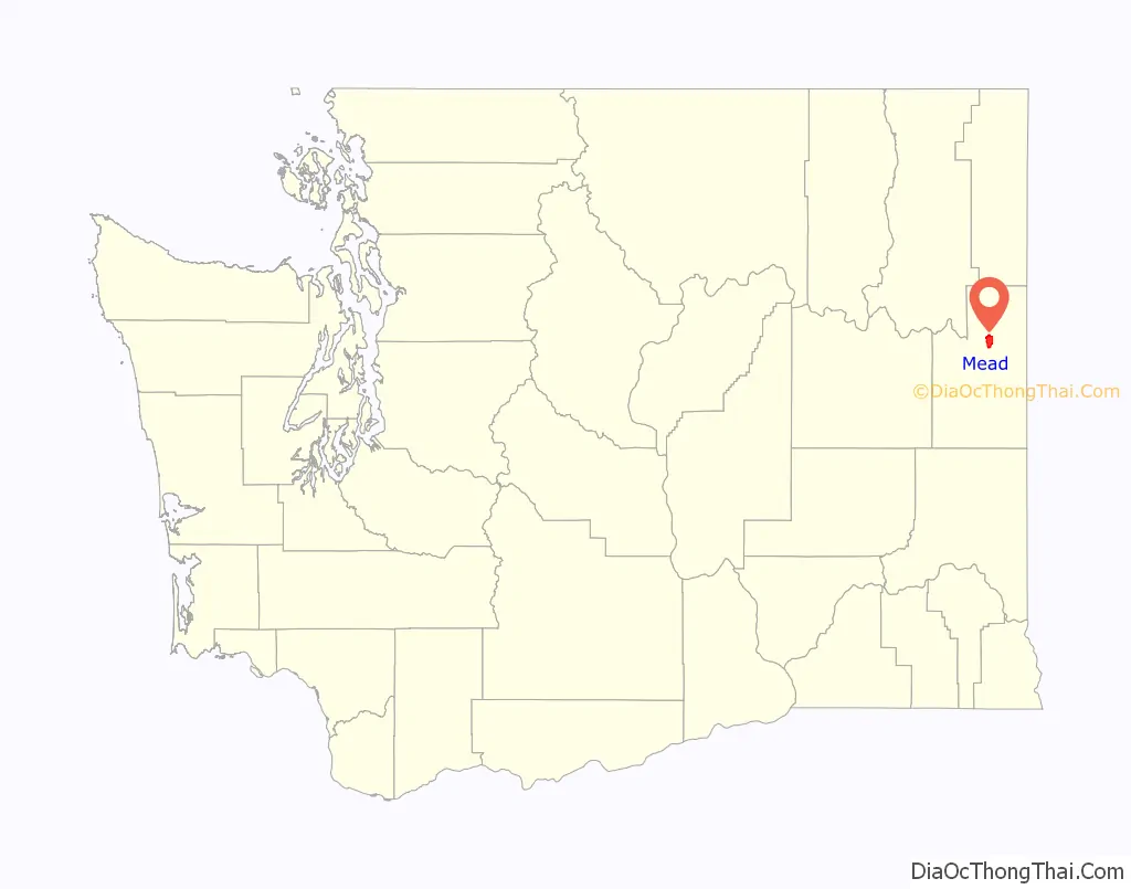
Mead location map. Where is Mead CDP?
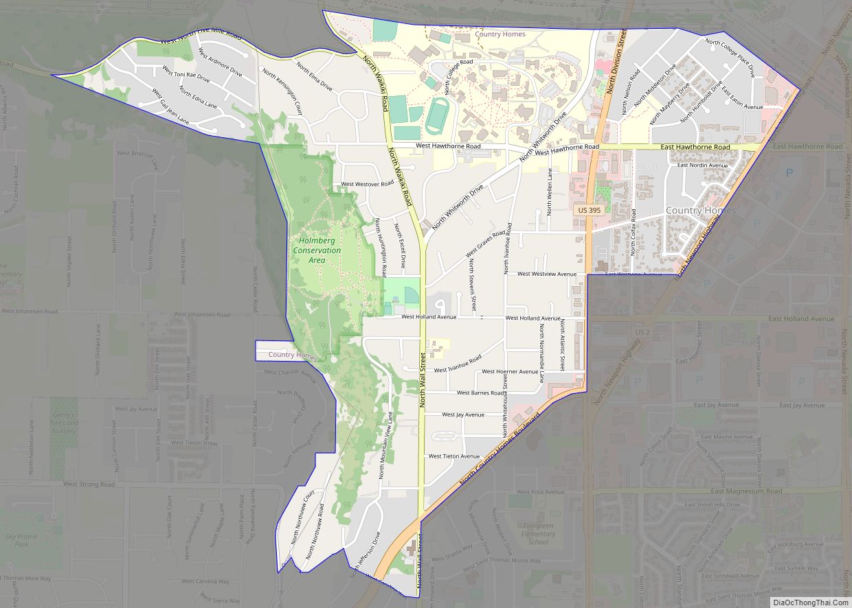
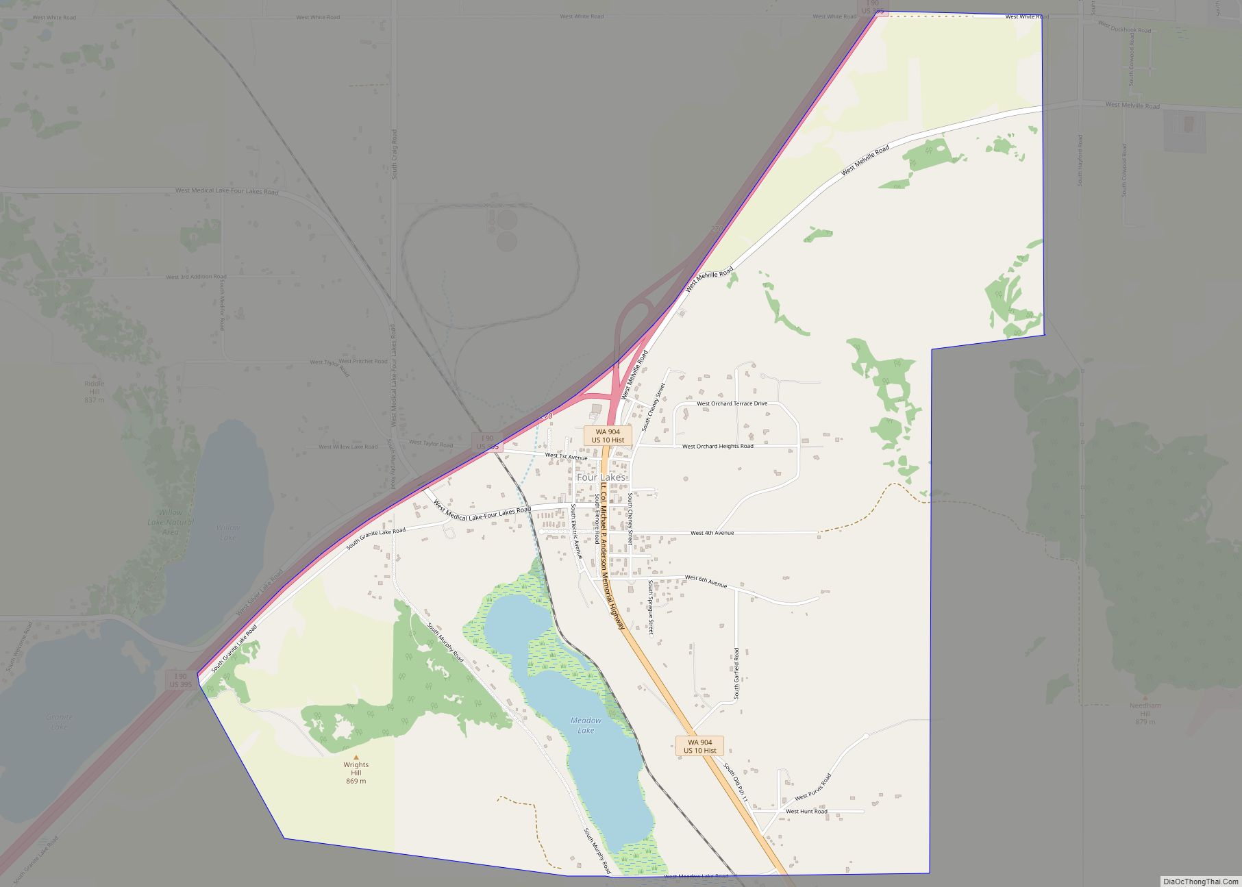
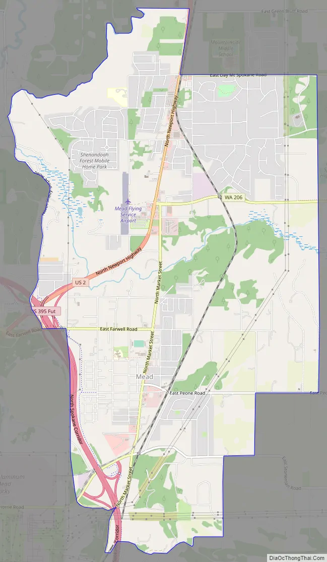
Mead Road Map
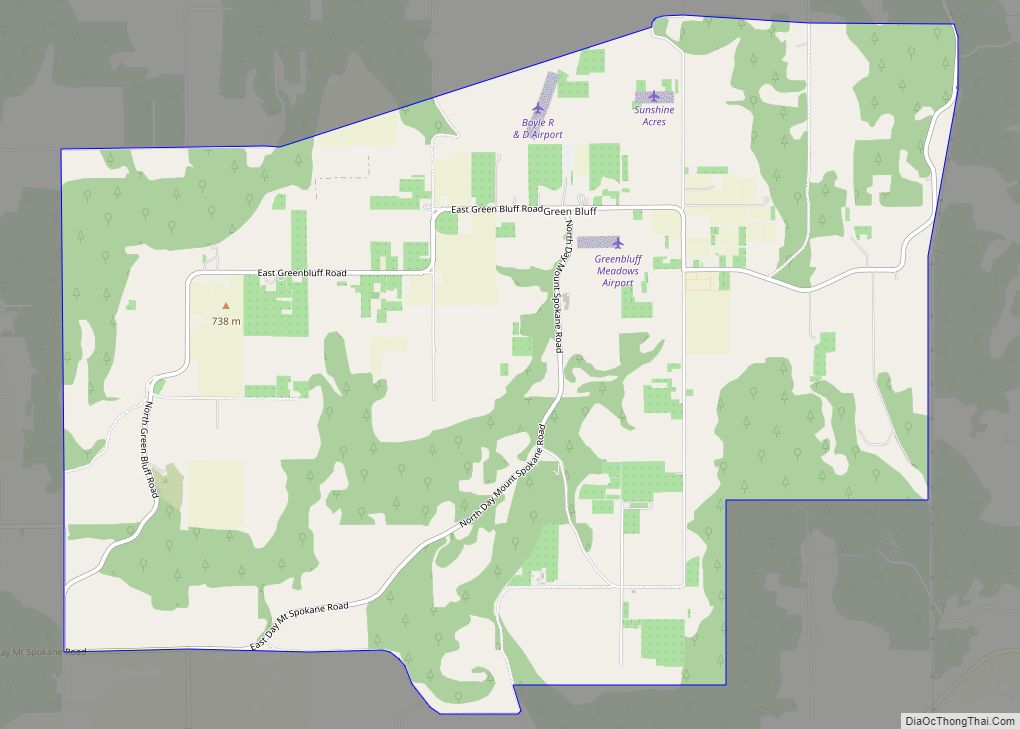
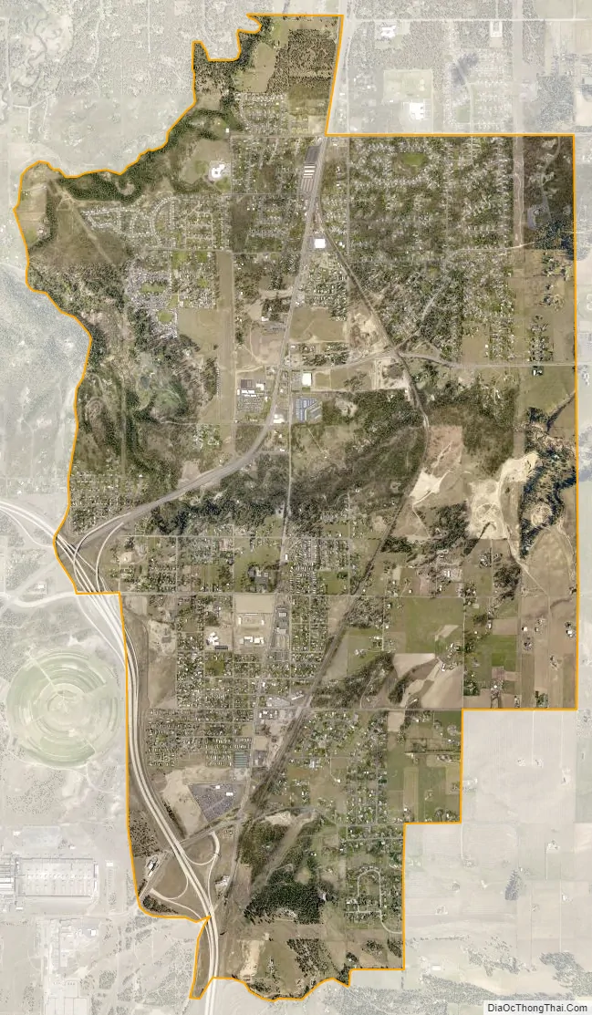
Mead city Satellite Map
See also
Map of Washington State and its subdivision:- Adams
- Asotin
- Benton
- Chelan
- Clallam
- Clark
- Columbia
- Cowlitz
- Douglas
- Ferry
- Franklin
- Garfield
- Grant
- Grays Harbor
- Island
- Jefferson
- King
- Kitsap
- Kittitas
- Klickitat
- Lewis
- Lincoln
- Mason
- Okanogan
- Pacific
- Pend Oreille
- Pierce
- San Juan
- Skagit
- Skamania
- Snohomish
- Spokane
- Stevens
- Thurston
- Wahkiakum
- Walla Walla
- Whatcom
- Whitman
- Yakima
- Alabama
- Alaska
- Arizona
- Arkansas
- California
- Colorado
- Connecticut
- Delaware
- District of Columbia
- Florida
- Georgia
- Hawaii
- Idaho
- Illinois
- Indiana
- Iowa
- Kansas
- Kentucky
- Louisiana
- Maine
- Maryland
- Massachusetts
- Michigan
- Minnesota
- Mississippi
- Missouri
- Montana
- Nebraska
- Nevada
- New Hampshire
- New Jersey
- New Mexico
- New York
- North Carolina
- North Dakota
- Ohio
- Oklahoma
- Oregon
- Pennsylvania
- Rhode Island
- South Carolina
- South Dakota
- Tennessee
- Texas
- Utah
- Vermont
- Virginia
- Washington
- West Virginia
- Wisconsin
- Wyoming