Medical Lake is a small city in Spokane County, eastern Washington, United States. At the 2010 census, the population was 5,060. The city is the site of a psychiatric hospital, Eastern State Hospital, and of Fairchild Air Force Base, two major employers.
| Name: | Medical Lake city |
|---|---|
| LSAD Code: | 25 |
| LSAD Description: | city (suffix) |
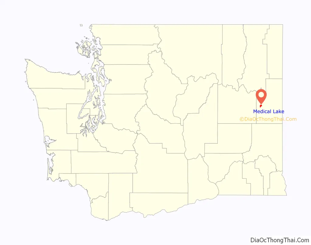
| State: | Washington |
| County: | Spokane County |
| Elevation: | 2,425 ft (739 m) |
| Total Area: | 3.58 sq mi (9.28 km²) |
| Land Area: | 3.37 sq mi (8.73 km²) |
| Water Area: | 0.21 sq mi (0.55 km²) |
| Total Population: | 5,060 |
| Population Density: | 1,473.15/sq mi (568.84/km²) |
| ZIP code: | 99022 |
| Area code: | 509 |
| FIPS code: | 5344690 |
| GNISfeature ID: | 1512452 |
| Website: | medical-lake.org |
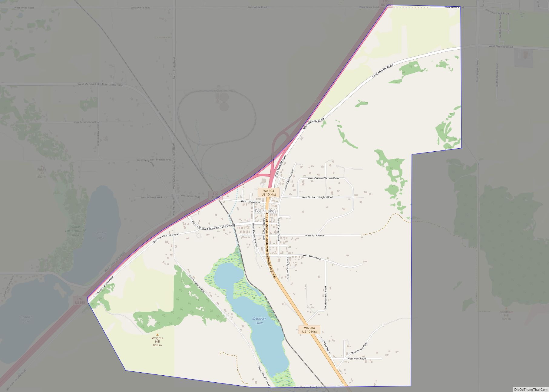
Online Interactive Map
Click on ![]() to view map in "full screen" mode.
to view map in "full screen" mode.
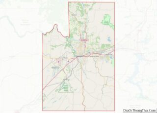
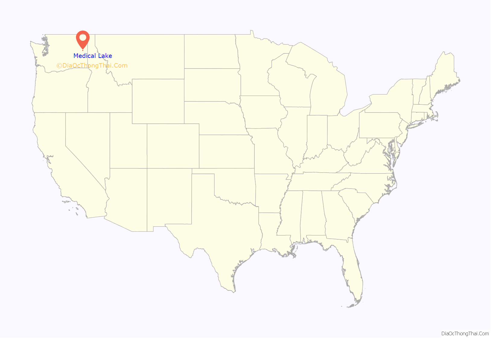
Medical Lake location map. Where is Medical Lake city?
History
The city of Medical Lake was incorporated in 1890. The city took its name from the nearby eponymous lake.
The Spokane people, a Native American tribe which had long inhabited the area, believed the water and mud of the lake to possess curative properties.
White settlers such as Andrew Lefevre and Stanley Hallett, who moved to the area in the 1870s, promoted this belief and marketed the lake salts for medicinal uses. A salt and soap industry developed here, followed by the construction of commercial bath houses in the 1880s. This was a period when springs and spas were popular developments across the country.
Several resort hotels were constructed along the lake shore. In 1891, the state constructed Eastern State Hospital, and this further stimulated economic growth in the city. Such growth continued until the 1920s, when the lake declined in popularity as a tourist destination.
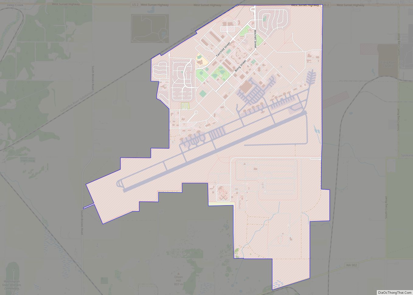
A period of stagnation was interrupted in the 1940s with the construction of nearby Fairchild Air Force Base to support the US effort in World War II. This brought a surge of population to the city. Medical Lake’s economy continues to depend upon the institutional presence of Eastern State Hospital and Fairchild AFB. Many residents of the city commute to work in nearby Spokane, which has a more varied economy.
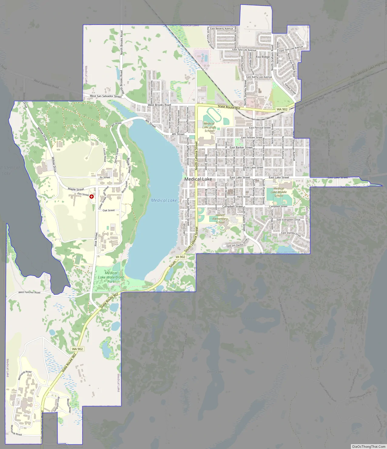
Medical Lake Road Map
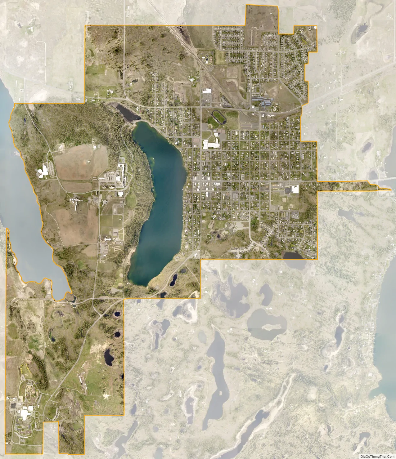
Medical Lake city Satellite Map
Geography
Medical Lake is located at 47°34′17″N 117°41′00″W / 47.571384°N 117.683333°W / 47.571384; -117.683333 (47.571384, -117.683333).
According to the United States Census Bureau, the city has a total area of 3.64 square miles (9.43 km), of which, 3.40 square miles (8.81 km) is land and 0.24 square miles (0.62 km) is water.
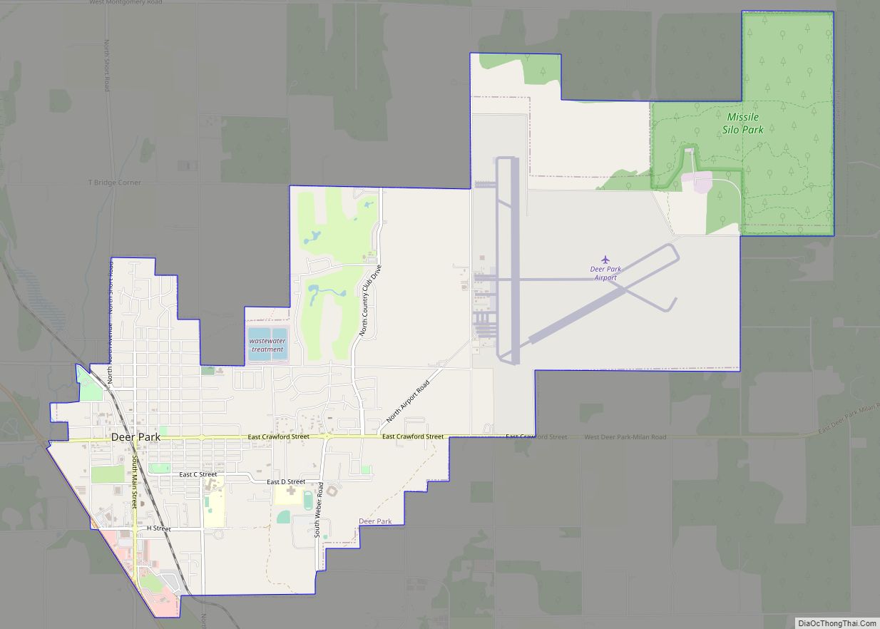
The city lies to the east of the lake of the same name. There are many other lakes within a few miles of the city, including West Medical Lake, Silver Lake, Clear Lake, and numerous smaller lakes and ponds south of the city. Driving distance from downtown Spokane is 16 miles via Interstate 90 and Washington State Route 902, the latter of which runs through the city. Eastern State Hospital is situated across the lake to the west. Fairchild Air Force Base is located immediately north of the city.
Geologically, the city lies on basalt flows that were heavily eroded by catastrophic flooding at the end of the last Ice Age, making the city and its environs a part of the Channeled Scablands terrain.
See also
Map of Washington State and its subdivision:- Adams
- Asotin
- Benton
- Chelan
- Clallam
- Clark
- Columbia
- Cowlitz
- Douglas
- Ferry
- Franklin
- Garfield
- Grant
- Grays Harbor
- Island
- Jefferson
- King
- Kitsap
- Kittitas
- Klickitat
- Lewis
- Lincoln
- Mason
- Okanogan
- Pacific
- Pend Oreille
- Pierce
- San Juan
- Skagit
- Skamania
- Snohomish
- Spokane
- Stevens
- Thurston
- Wahkiakum
- Walla Walla
- Whatcom
- Whitman
- Yakima
- Alabama
- Alaska
- Arizona
- Arkansas
- California
- Colorado
- Connecticut
- Delaware
- District of Columbia
- Florida
- Georgia
- Hawaii
- Idaho
- Illinois
- Indiana
- Iowa
- Kansas
- Kentucky
- Louisiana
- Maine
- Maryland
- Massachusetts
- Michigan
- Minnesota
- Mississippi
- Missouri
- Montana
- Nebraska
- Nevada
- New Hampshire
- New Jersey
- New Mexico
- New York
- North Carolina
- North Dakota
- Ohio
- Oklahoma
- Oregon
- Pennsylvania
- Rhode Island
- South Carolina
- South Dakota
- Tennessee
- Texas
- Utah
- Vermont
- Virginia
- Washington
- West Virginia
- Wisconsin
- Wyoming