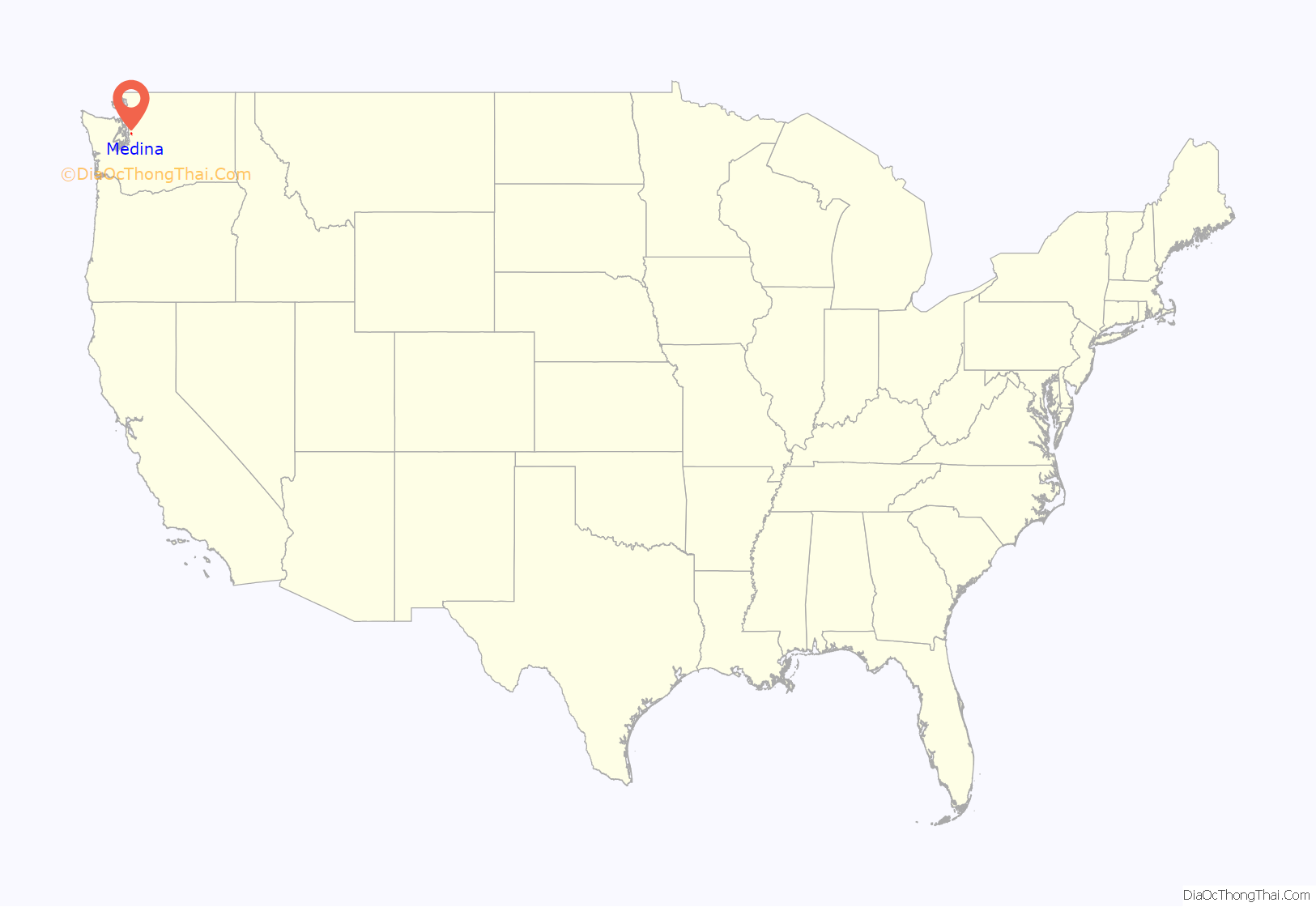
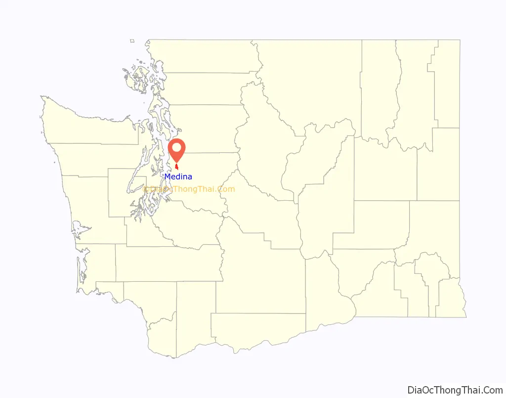
Medina (/məˈdaɪnə/ (listen)) is a city in the Eastside region of King County, Washington, United States. The mostly residential city is on a peninsula in Lake Washington, on the opposite shore from Seattle, bordered by Clyde Hill and Hunts Point to the east and water on all other sides. The city’s population was 2,969 at the 2010 census. Bill Gates and Jeff Bezos, along with a number of billionaires and executives for tech companies, have homes in Medina.
| Name: | Medina city |
|---|---|
| LSAD Code: | 25 |
| LSAD Description: | city (suffix) |
| State: | Washington |
| County: | King County |
| Incorporated: | August 19, 1955 |
| Elevation: | 69 ft (21 m) |
| Total Area: | 4.83 sq mi (12.51 km²) |
| Land Area: | 1.44 sq mi (3.72 km²) |
| Water Area: | 3.39 sq mi (8.79 km²) |
| Total Population: | 2,969 |
| Population Density: | 2,291.29/sq mi (884.44/km²) |
| ZIP code: | 98039 |
| Area code: | 425 |
| FIPS code: | 5344725 |
| GNISfeature ID: | 1512453 |
| Website: | www.medina-wa.gov |
Online Interactive Map
Click on ![]() to view map in "full screen" mode.
to view map in "full screen" mode.
Medina location map. Where is Medina city?
History
The eastern shore of Lake Washington between Meydenbauer Bay and Evergreen Point was a sparsely-populated area that was cleared for its timber in the 1870s. Seattle businessman Thomas Dabney established a claim on the south side of modern-day Medina in 1886, becoming the area’s first permanent white settler. Dabney built a ferry dock in 1890, naming it Dabney’s Landing, while the surrounding area was turned into berry farms and fruit orchards. Other settlers arrived at Dabney’s Landing, which was briefly named Flordeline by its founder until objections were raised by a group of women who proposed the Arabic name “Medina” in 1891. After a series of debates and sign-switching incidents, Medina won and was adopted as the name of the town.
Medina was platted in 1914 and officially incorporated on August 19, 1955. The town’s first mansions were built in the 1920s by wealthy Seattle businessmen, encouraged by the arrival of direct ferry service, and led to the nickname of Washington’s “Gold Coast”. The area’s farmers, mostly of Japanese descent, were evicted during the 1940s internment and their farms were turned over for redevelopment.
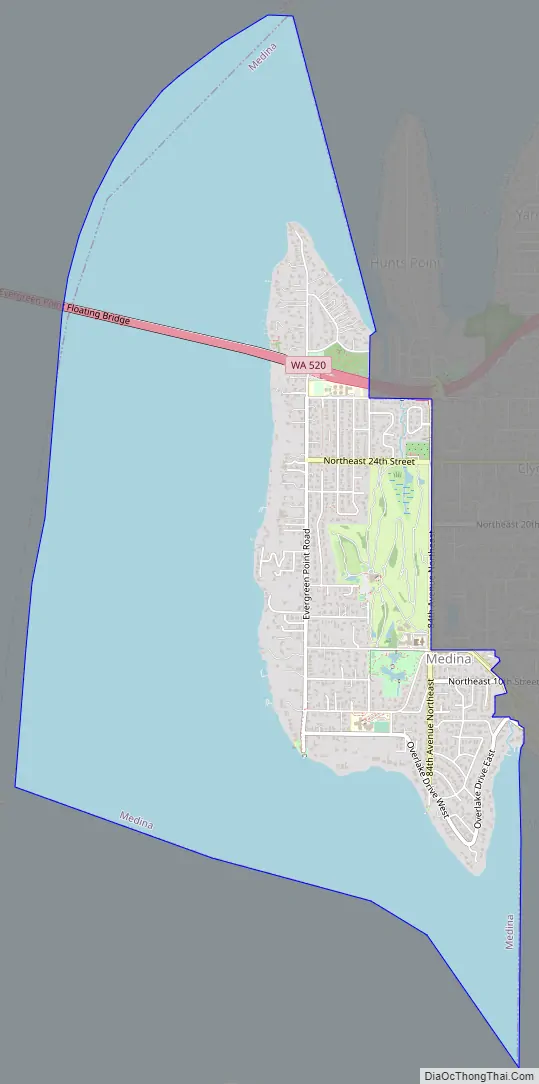
Medina Road Map
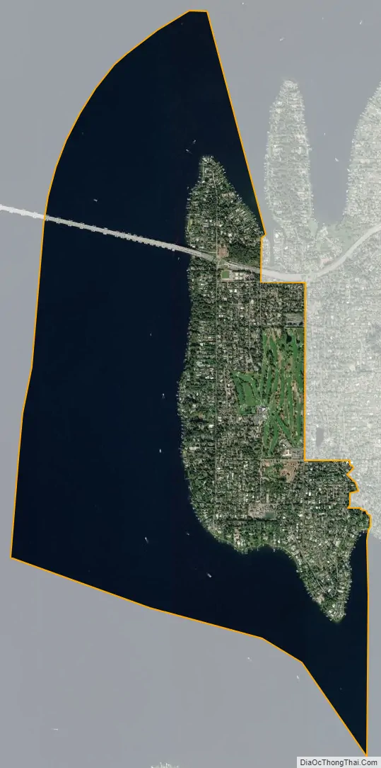
Medina city Satellite Map
Geography
According to the United States Census Bureau, the city has a total area of 4.79 square miles (12.41 km), of which, 1.44 square miles (3.73 km) is land and 3.35 square miles (8.68 km) is water.
Medina is connected to Seattle, on the western shore of Lake Washington, by State Route 520 on the Evergreen Point Floating Bridge, the longest floating bridge in the world.
Climate
This region experiences warm (but not hot) and dry summers, with no average monthly temperatures above 71.6 °F. According to the Köppen Climate Classification system, Medina has a warm-summer Mediterranean climate, abbreviated “Csb” on climate maps.
See also
Map of Washington State and its subdivision:- Adams
- Asotin
- Benton
- Chelan
- Clallam
- Clark
- Columbia
- Cowlitz
- Douglas
- Ferry
- Franklin
- Garfield
- Grant
- Grays Harbor
- Island
- Jefferson
- King
- Kitsap
- Kittitas
- Klickitat
- Lewis
- Lincoln
- Mason
- Okanogan
- Pacific
- Pend Oreille
- Pierce
- San Juan
- Skagit
- Skamania
- Snohomish
- Spokane
- Stevens
- Thurston
- Wahkiakum
- Walla Walla
- Whatcom
- Whitman
- Yakima
- Alabama
- Alaska
- Arizona
- Arkansas
- California
- Colorado
- Connecticut
- Delaware
- District of Columbia
- Florida
- Georgia
- Hawaii
- Idaho
- Illinois
- Indiana
- Iowa
- Kansas
- Kentucky
- Louisiana
- Maine
- Maryland
- Massachusetts
- Michigan
- Minnesota
- Mississippi
- Missouri
- Montana
- Nebraska
- Nevada
- New Hampshire
- New Jersey
- New Mexico
- New York
- North Carolina
- North Dakota
- Ohio
- Oklahoma
- Oregon
- Pennsylvania
- Rhode Island
- South Carolina
- South Dakota
- Tennessee
- Texas
- Utah
- Vermont
- Virginia
- Washington
- West Virginia
- Wisconsin
- Wyoming


