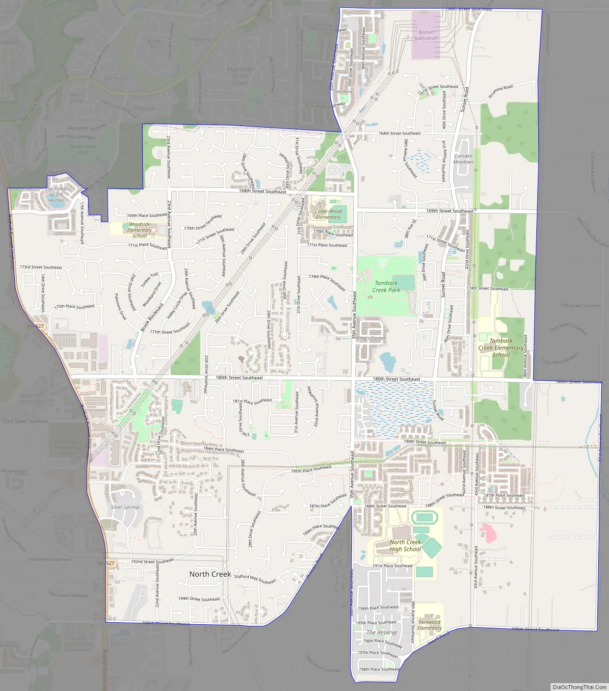
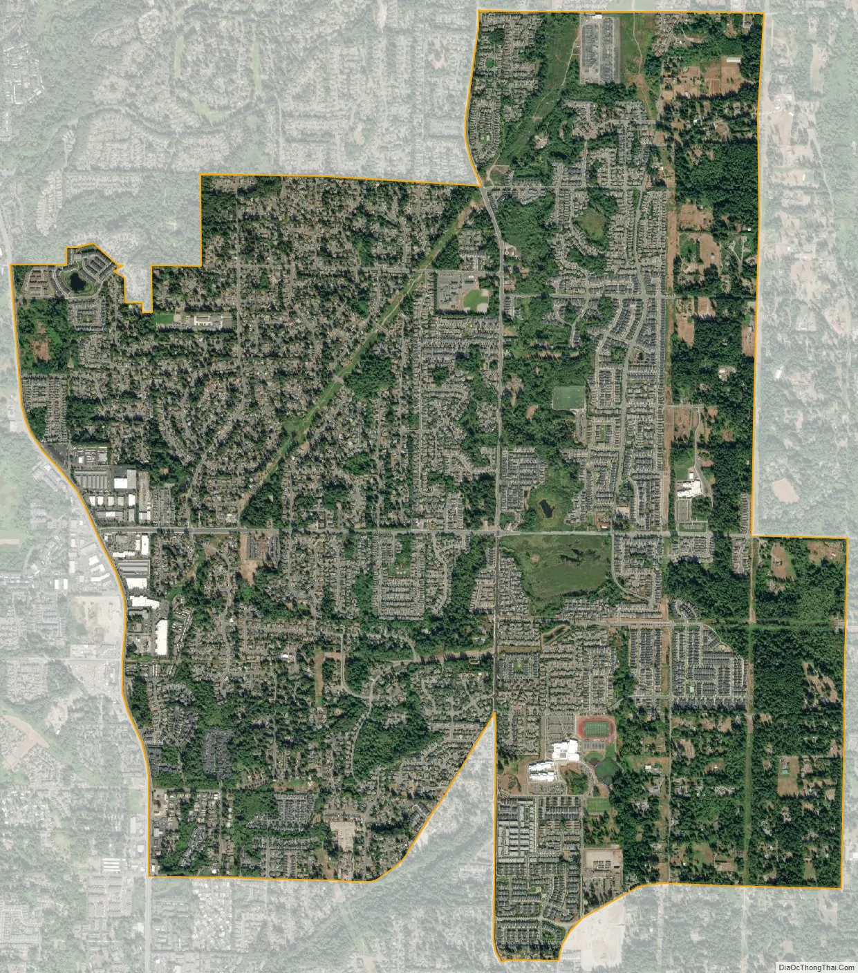
Mill Creek East is a census-designated place (CDP) located in Snohomish County, Washington. The population was 24,912 at the 2020 census. The CDP comprises an area southeast of the city of Mill Creek that includes many new single-family housing developments as well as the new North Creek High School.
| Name: | Mill Creek East CDP |
|---|---|
| LSAD Code: | 57 |
| LSAD Description: | CDP (suffix) |
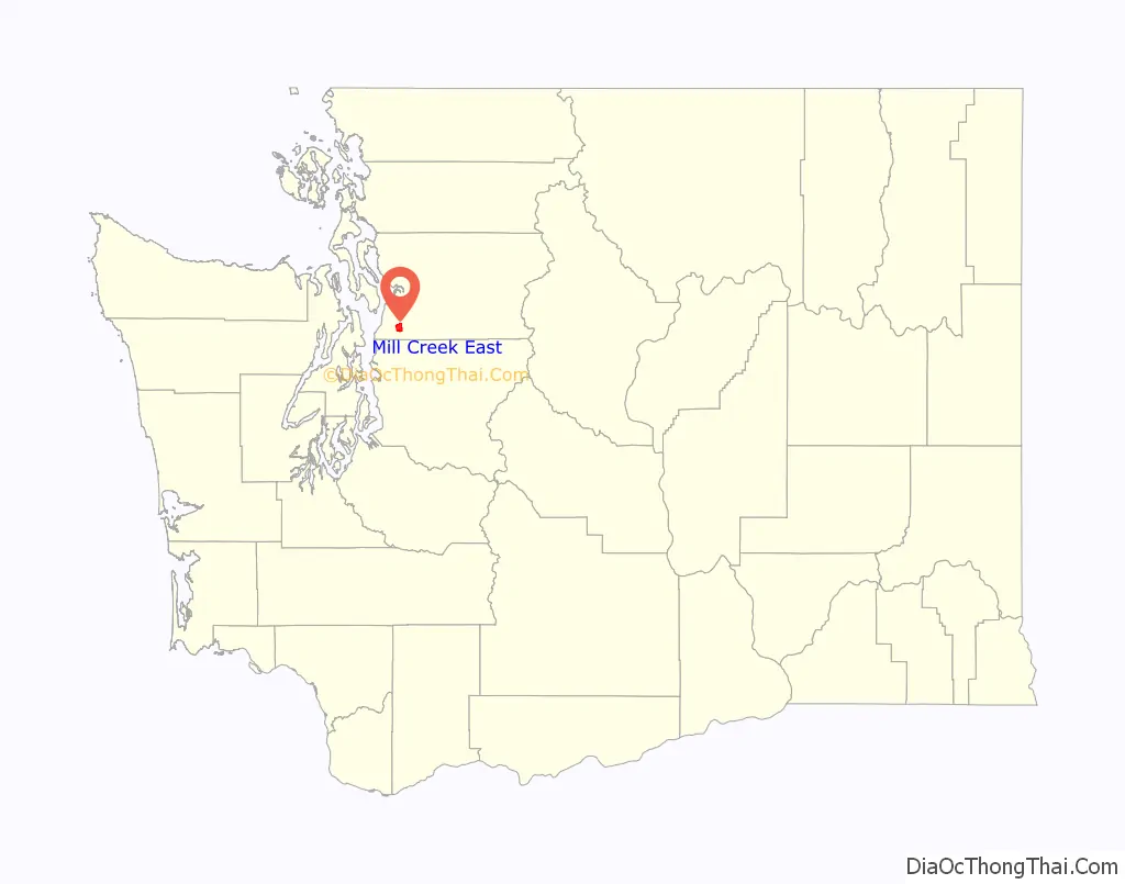
| State: | Washington |
| County: | Snohomish County |
| Elevation: | 354 ft (108 m) |
| Total Area: | 4.45 sq mi (11.5 km²) |
| Land Area: | 4.45 sq mi (11.5 km²) |
| Total Population: | 24,912 |
| Population Density: | 5,600/sq mi (2,200/km²) |
| ZIP code: | 98012 |
| Area code: | 360, 564 |
| FIPS code: | 5345870 |
Online Interactive Map
Click on ![]() to view map in "full screen" mode.
to view map in "full screen" mode.
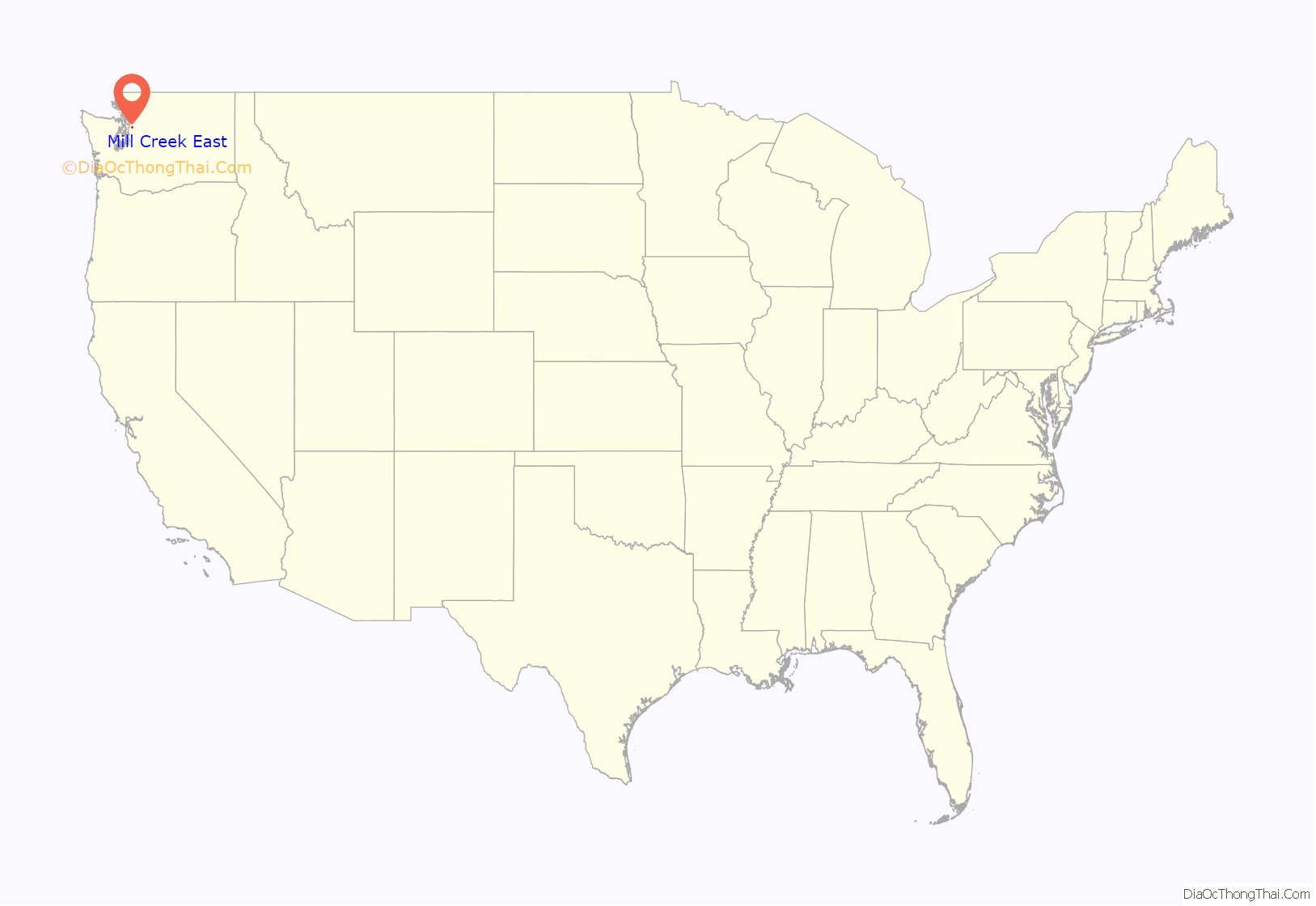
Mill Creek East location map. Where is Mill Creek East CDP?
Mill Creek East Road Map
Mill Creek East city Satellite Map
Geography
Mill Creek East is located at coordinates 47°50’10 “N 122°11’16″W.
See also
Map of Washington State and its subdivision:- Adams
- Asotin
- Benton
- Chelan
- Clallam
- Clark
- Columbia
- Cowlitz
- Douglas
- Ferry
- Franklin
- Garfield
- Grant
- Grays Harbor
- Island
- Jefferson
- King
- Kitsap
- Kittitas
- Klickitat
- Lewis
- Lincoln
- Mason
- Okanogan
- Pacific
- Pend Oreille
- Pierce
- San Juan
- Skagit
- Skamania
- Snohomish
- Spokane
- Stevens
- Thurston
- Wahkiakum
- Walla Walla
- Whatcom
- Whitman
- Yakima
- Alabama
- Alaska
- Arizona
- Arkansas
- California
- Colorado
- Connecticut
- Delaware
- District of Columbia
- Florida
- Georgia
- Hawaii
- Idaho
- Illinois
- Indiana
- Iowa
- Kansas
- Kentucky
- Louisiana
- Maine
- Maryland
- Massachusetts
- Michigan
- Minnesota
- Mississippi
- Missouri
- Montana
- Nebraska
- Nevada
- New Hampshire
- New Jersey
- New Mexico
- New York
- North Carolina
- North Dakota
- Ohio
- Oklahoma
- Oregon
- Pennsylvania
- Rhode Island
- South Carolina
- South Dakota
- Tennessee
- Texas
- Utah
- Vermont
- Virginia
- Washington
- West Virginia
- Wisconsin
- Wyoming


