Moxee is a small suburban community southeast of Yakima, Washington. Yakima and Moxee are both north of the Yakama Indian Reservation in Yakima County, Washington, United States. The population of Moxee was 4,326 at the 2020 census.
According to the Washington State Office of Financial Management, Moxee ranked 5th of 279 eligible incorporated communities in population growth between 2000 and 2005.
| Name: | Moxee city |
|---|---|
| LSAD Code: | 25 |
| LSAD Description: | city (suffix) |
| State: | Washington |
| County: | Yakima County |
| Founded: | 1867 |
| Elevation: | 1,063 ft (324 m) |
| Total Area: | 2.37 sq mi (6.13 km²) |
| Land Area: | 2.37 sq mi (6.13 km²) |
| Water Area: | 0.00 sq mi (0.00 km²) |
| Total Population: | 4,326 |
| Population Density: | 1,734.57/sq mi (669.65/km²) |
| ZIP code: | 98936 |
| Area code: | 509 |
| FIPS code: | 5347665 |
| GNISfeature ID: | 1512489 |
| Website: | cityofmoxee.us |
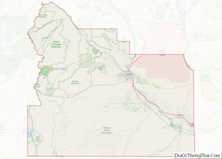
Online Interactive Map
Click on ![]() to view map in "full screen" mode.
to view map in "full screen" mode.
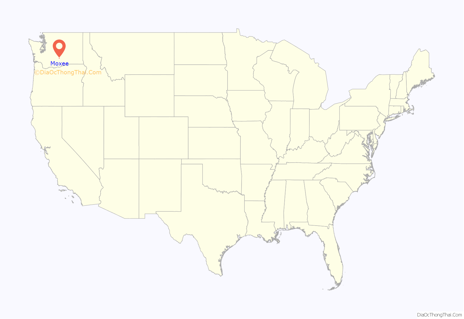
Moxee location map. Where is Moxee city?
History
Moxee was first settled by Mortimer Thorp and several French-Canadian farmers who arrived in 1867. A warm spring on the Thorp ranch emitted steam year ’round and never froze. It was known as “Moxee” by the native people, a Sahaptin word for an edible root, and was the name was adopted for the settlement. Over time, the community has been variously known as: “Artesian”, “Moksee”, “Moxie”, “Moxee City”, and “Moxee.”
The sandy soil and mild climate of the region were ideal for growing hops used in the brewing of beer, and for growing grapes. By the turn-of-the century, the Northern Pacific Railroad had completed a railway line nearby and irrigation projects were being constructed making rich, farmland available to new settlers. This attracted more French and French-Canadian farmers who had first immigrated to northern Minnesota and northern Michigan. A French school was established on La Framboise Road and masses at Holy Rosary Parish were said in French up to World War I.
The town of Moxee City was incorporated on April 27, 1921. Street and road names in the vicinity, such as Charron, Faucher, Rivard, Beaudry, Desmarais, Robillard, Beauchene, Gamache, Champoux, Morrier, and St. Hilaire, continue to reflect Moxee’s French-Canadian heritage. However, almost one-third of residents are of Hispanic descent today.
In 2016, several homes near Moxie were evacuated because of the Range 12 fire, which ultimately destroyed over tens-of-thousands of acres in Yakima County.
Moxee Road Map
Moxee city Satellite Map
Geography
Moxee is located at 46°33′23″N 120°23′14″W / 46.55639°N 120.38722°W / 46.55639; -120.38722 (46.556499, -120.387119).
According to the United States Census Bureau, the city has a total area of 1.69 square miles (4.38 km), all of it land.
Climate
According to the Köppen Climate Classification system, Moxee has a semi-arid climate, abbreviated “BSk” on climate maps.
See also
Map of Washington State and its subdivision:- Adams
- Asotin
- Benton
- Chelan
- Clallam
- Clark
- Columbia
- Cowlitz
- Douglas
- Ferry
- Franklin
- Garfield
- Grant
- Grays Harbor
- Island
- Jefferson
- King
- Kitsap
- Kittitas
- Klickitat
- Lewis
- Lincoln
- Mason
- Okanogan
- Pacific
- Pend Oreille
- Pierce
- San Juan
- Skagit
- Skamania
- Snohomish
- Spokane
- Stevens
- Thurston
- Wahkiakum
- Walla Walla
- Whatcom
- Whitman
- Yakima
- Alabama
- Alaska
- Arizona
- Arkansas
- California
- Colorado
- Connecticut
- Delaware
- District of Columbia
- Florida
- Georgia
- Hawaii
- Idaho
- Illinois
- Indiana
- Iowa
- Kansas
- Kentucky
- Louisiana
- Maine
- Maryland
- Massachusetts
- Michigan
- Minnesota
- Mississippi
- Missouri
- Montana
- Nebraska
- Nevada
- New Hampshire
- New Jersey
- New Mexico
- New York
- North Carolina
- North Dakota
- Ohio
- Oklahoma
- Oregon
- Pennsylvania
- Rhode Island
- South Carolina
- South Dakota
- Tennessee
- Texas
- Utah
- Vermont
- Virginia
- Washington
- West Virginia
- Wisconsin
- Wyoming
