Neilton is an unincorporated community and census-designated place (CDP) in Grays Harbor County, Washington, United States. The population was 315 at the 2010 census.
| Name: | Neilton CDP |
|---|---|
| LSAD Code: | 57 |
| LSAD Description: | CDP (suffix) |
| State: | Washington |
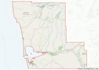
| County: | Grays Harbor County |
| Elevation: | 482 ft (147 m) |
| Total Area: | 9.7 sq mi (25.0 km²) |
| Land Area: | 9.7 sq mi (25.0 km²) |
| Water Area: | 0.0 sq mi (0.0 km²) |
| Total Population: | 315 |
| Population Density: | 33/sq mi (12.6/km²) |
| ZIP code: | 98566 |
| Area code: | 360 |
| FIPS code: | 5348330 |
| GNISfeature ID: | 1523609 |
Online Interactive Map
Click on ![]() to view map in "full screen" mode.
to view map in "full screen" mode.
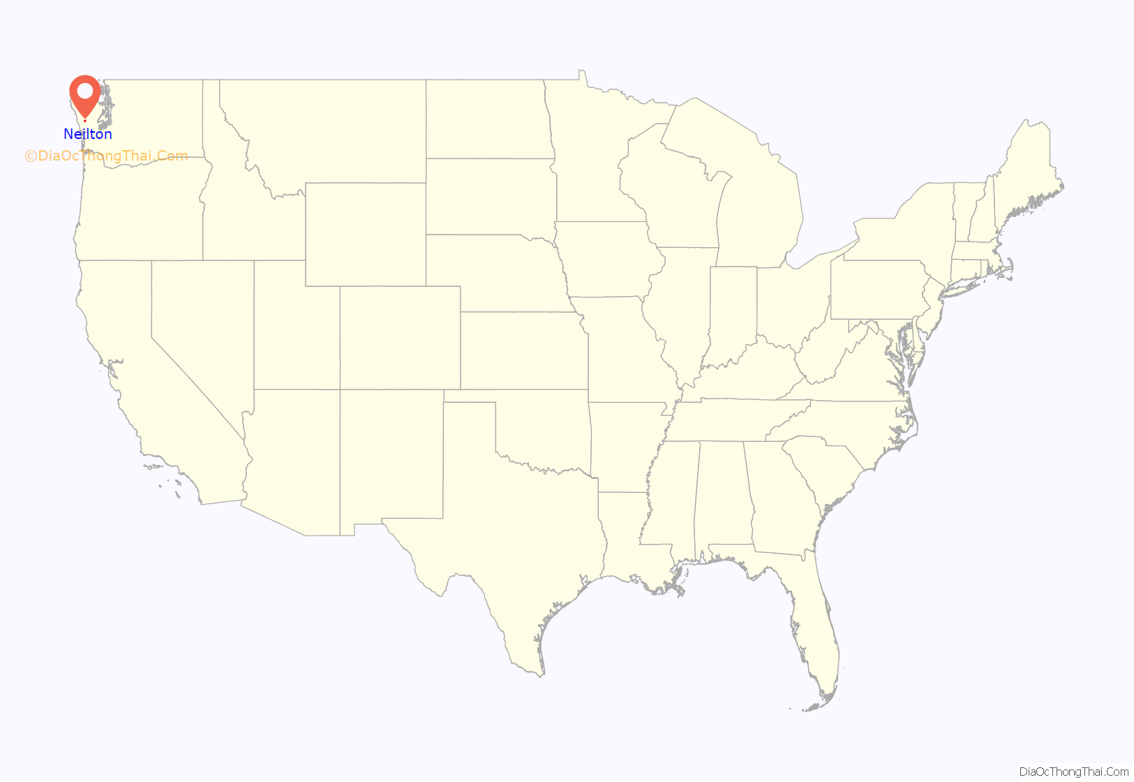
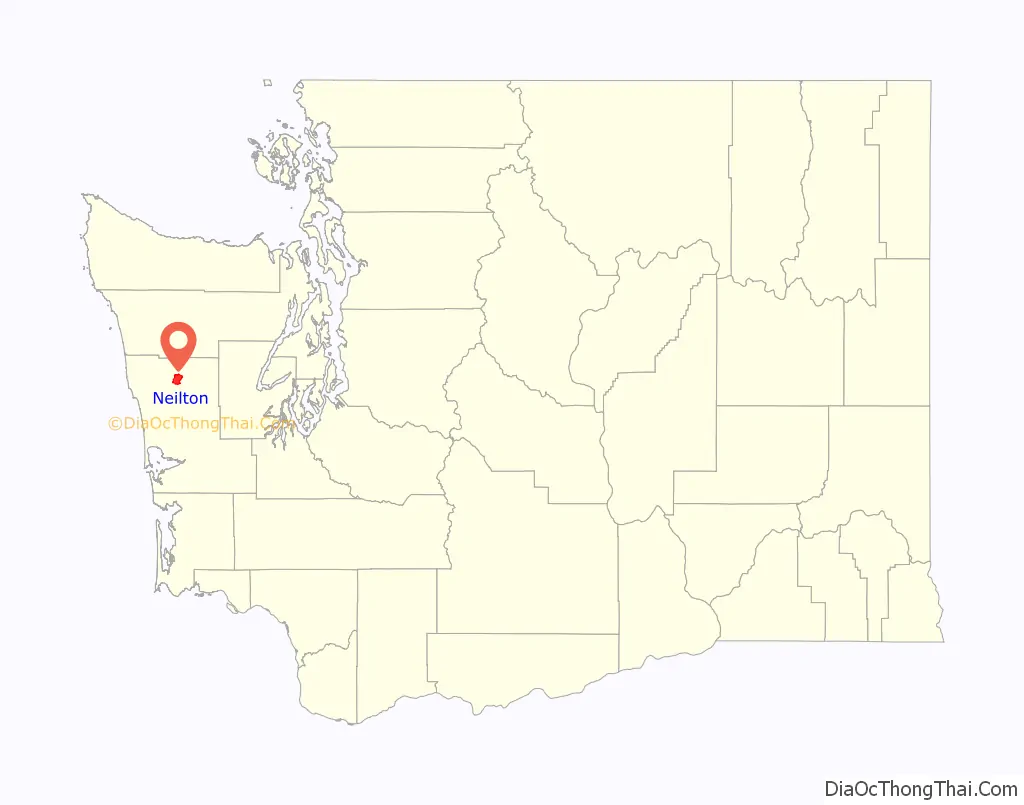
Neilton location map. Where is Neilton CDP?
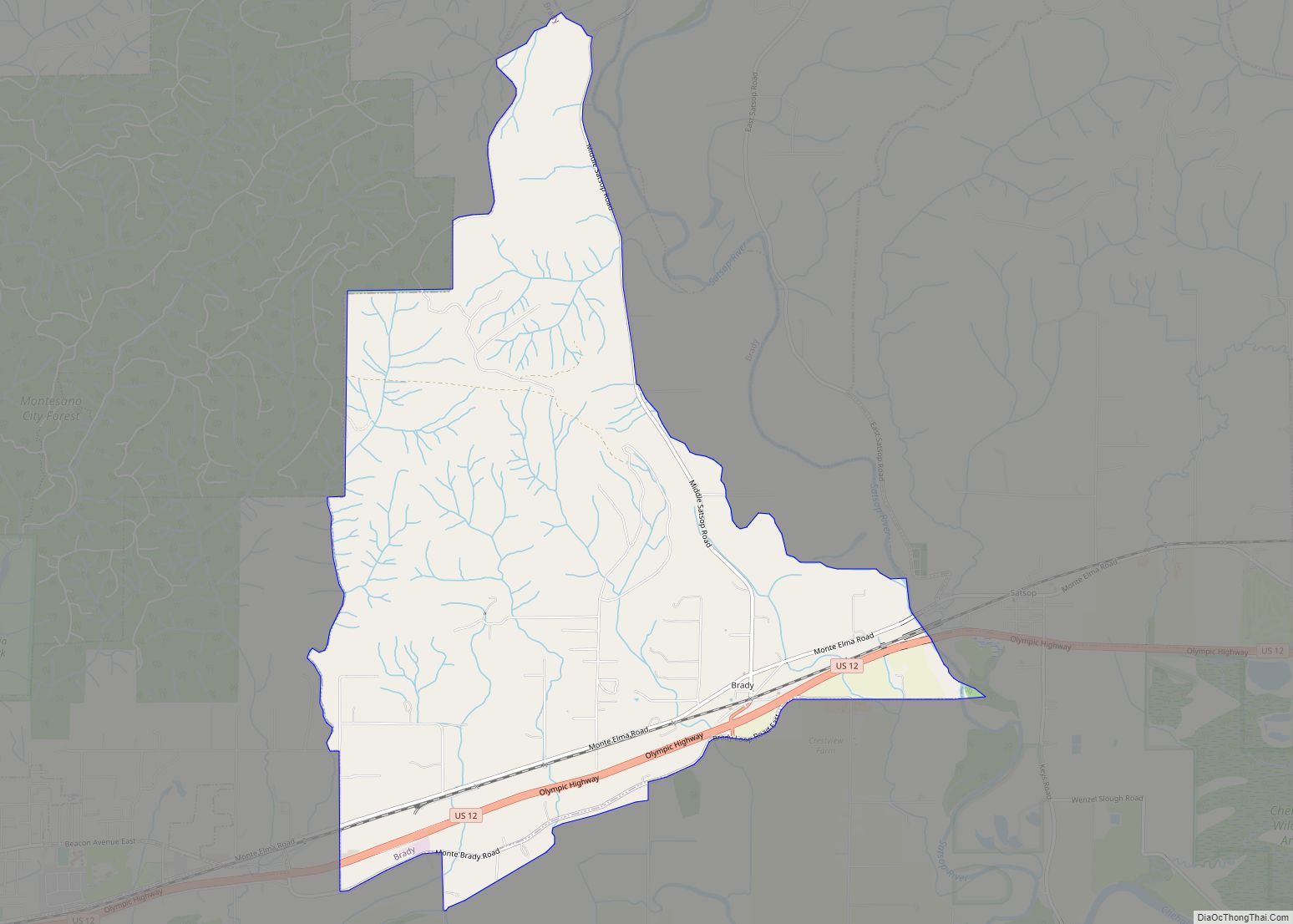
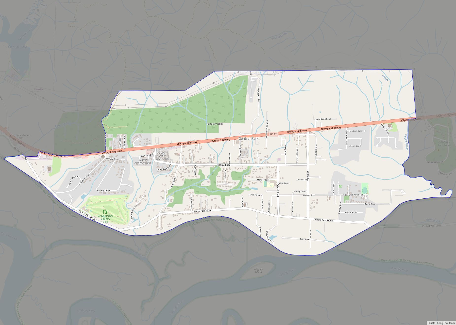
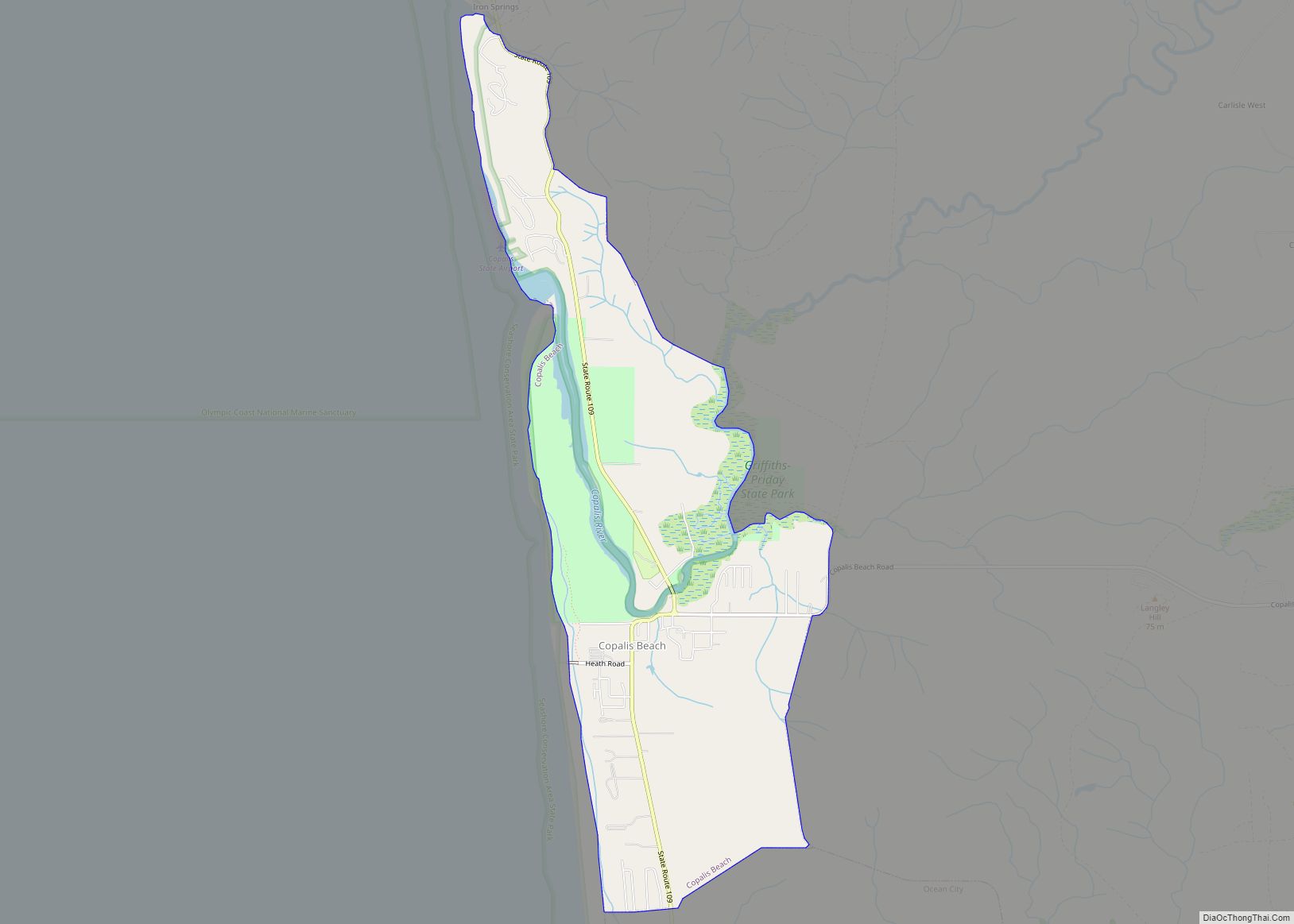
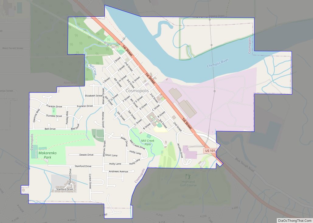
Neilton Road Map
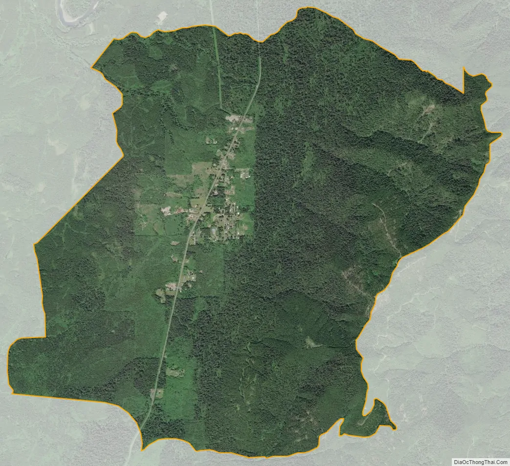
Neilton city Satellite Map
Geography
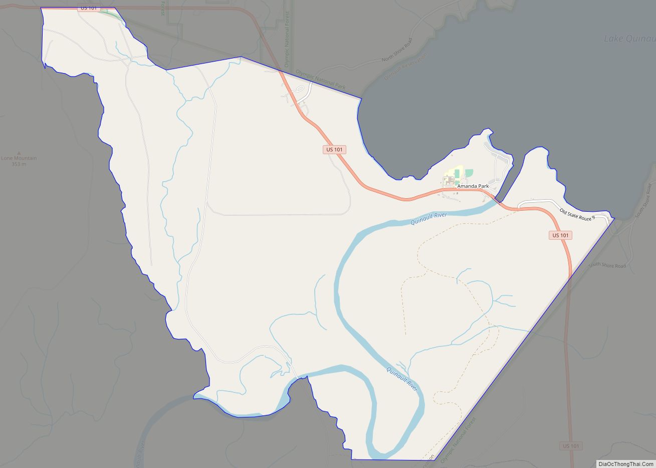
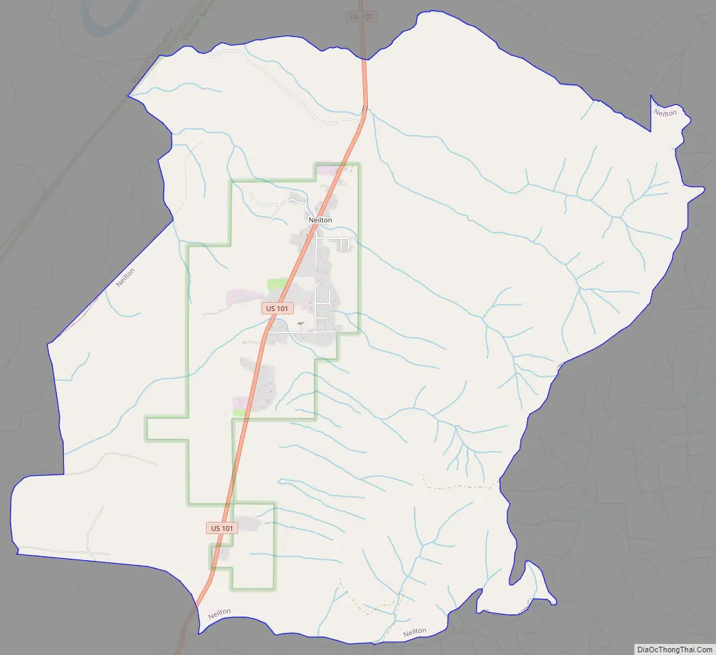
Neilton is located in northern Grays Harbor County at 47°24′13″N 123°53′14″W / 47.40361°N 123.88722°W / 47.40361; -123.88722 (47.403574, -123.887303), within Olympic National Forest along U.S. Route 101. The CDP extends north along US 101 to Boulder Creek and south to Cook Creek, while to the east it runs to the 2,654-foot (809 m) crest of Quinault Ridge. US 101 leads north 4 miles (6 km) to Amanda Park and south 14 miles (23 km) to Humptulips. Aberdeen is 39 miles (63 km) to the south on US 101, and Queets is 29 miles (47 km) to the northwest.
According to the United States Census Bureau, the Neilton CDP has a total area of 9.7 square miles (25.0 km), all of it land.
Climate
The climate in this area has mild differences between highs and lows, and there is adequate rainfall year-round. According to the Köppen Climate Classification system, Neilton has a marine west coast climate, abbreviated “Cfb” on climate maps.
See also
Map of Washington State and its subdivision:- Adams
- Asotin
- Benton
- Chelan
- Clallam
- Clark
- Columbia
- Cowlitz
- Douglas
- Ferry
- Franklin
- Garfield
- Grant
- Grays Harbor
- Island
- Jefferson
- King
- Kitsap
- Kittitas
- Klickitat
- Lewis
- Lincoln
- Mason
- Okanogan
- Pacific
- Pend Oreille
- Pierce
- San Juan
- Skagit
- Skamania
- Snohomish
- Spokane
- Stevens
- Thurston
- Wahkiakum
- Walla Walla
- Whatcom
- Whitman
- Yakima
- Alabama
- Alaska
- Arizona
- Arkansas
- California
- Colorado
- Connecticut
- Delaware
- District of Columbia
- Florida
- Georgia
- Hawaii
- Idaho
- Illinois
- Indiana
- Iowa
- Kansas
- Kentucky
- Louisiana
- Maine
- Maryland
- Massachusetts
- Michigan
- Minnesota
- Mississippi
- Missouri
- Montana
- Nebraska
- Nevada
- New Hampshire
- New Jersey
- New Mexico
- New York
- North Carolina
- North Dakota
- Ohio
- Oklahoma
- Oregon
- Pennsylvania
- Rhode Island
- South Carolina
- South Dakota
- Tennessee
- Texas
- Utah
- Vermont
- Virginia
- Washington
- West Virginia
- Wisconsin
- Wyoming