North Bend is a city in King County, Washington, United States, on the outskirts of the Seattle metropolitan area. The population was 7,461 at the 2020 census.
Since the closure of Weyerhaeuser’s Snoqualmie sawmill, North Bend has become a prosperous bedroom community for Seattle, which is located about 30 miles (48 km) to the west. The town was made famous by David Lynch’s television series Twin Peaks, which was partially filmed in North Bend. The community is also home to Nintendo North Bend, the main North American production facility and distribution center for the video game console manufacturer Nintendo.
| Name: | North Bend city |
|---|---|
| LSAD Code: | 25 |
| LSAD Description: | city (suffix) |
| State: | Washington |
| County: | King County |
| Incorporated: | March 12, 1909 |
| Elevation: | 440 ft (134 m) |
| Total Area: | 4.41 sq mi (11.43 km²) |
| Land Area: | 4.35 sq mi (11.26 km²) |
| Water Area: | 0.07 sq mi (0.17 km²) |
| Total Population: | 7,461 |
| Population Density: | 1,707.22/sq mi (659.16/km²) |
| ZIP code: | 98045 |
| Area code: | 425 |
| FIPS code: | 5349485 |
| GNISfeature ID: | 1523724 |
| Website: | northbendwa.gov |
Online Interactive Map
Click on ![]() to view map in "full screen" mode.
to view map in "full screen" mode.
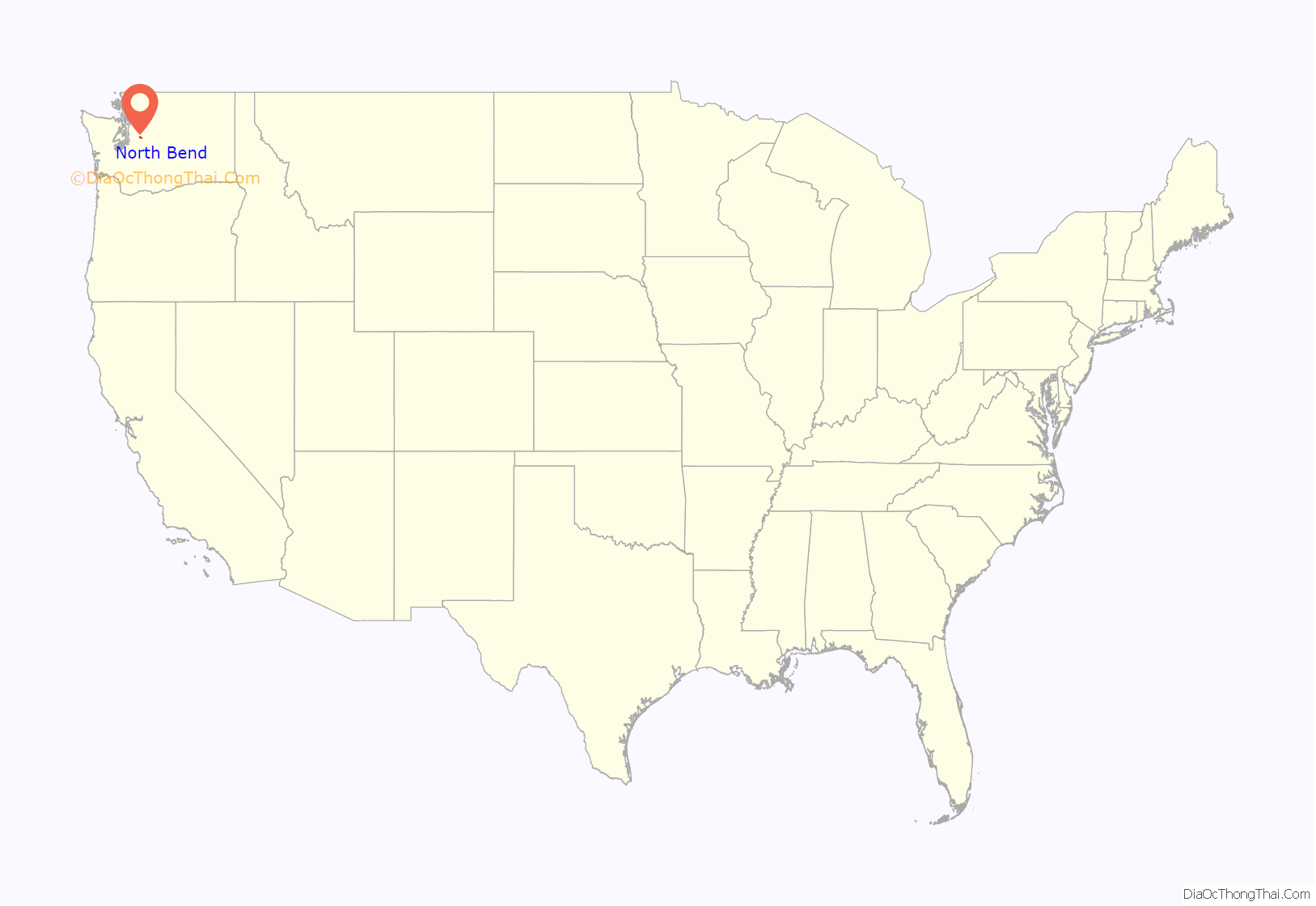
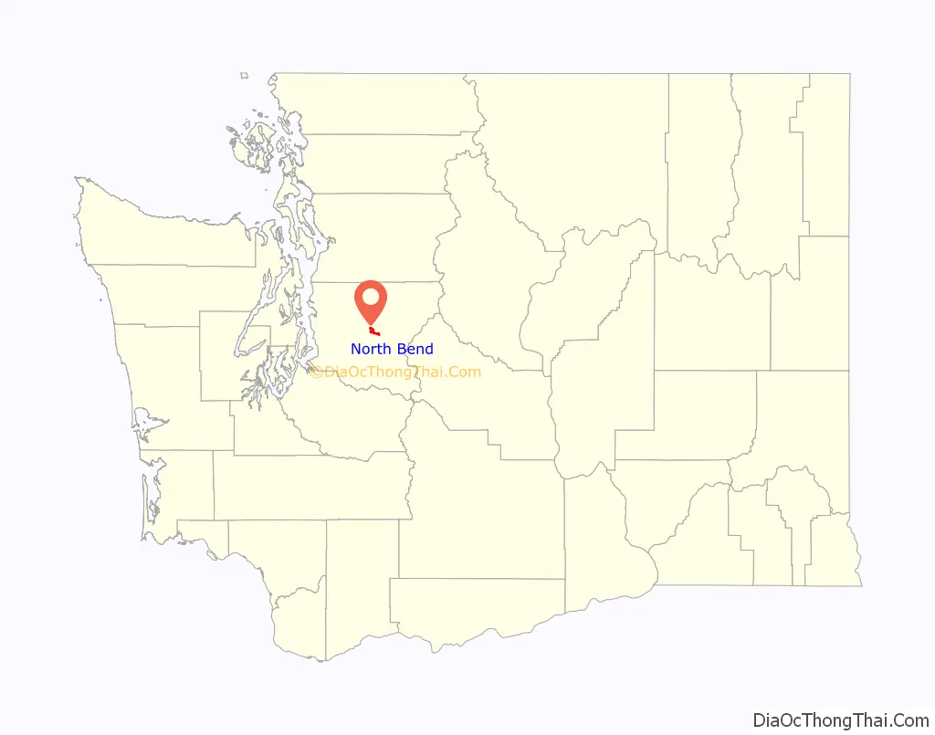
North Bend location map. Where is North Bend city?
History
The Snoqualmie Indian Tribe has resided in the Snoqualmie Prairie, including the area now known as North Bend, for thousands of years. This prairie southeast of Snoqualmie Falls was the ancestral home, hunting and forage grounds for the Snoqualmie people and was located in the upper Snoqualmie Valley near the Snoqualmie River fork confluence, Mount Si, and the western foothills of the Cascade Range.
One of the first American explorers to the upper Snoqualmie Valley was Samuel Hancock who arrived in 1851. Hancock traveled upriver with his Snoqualmie guides, fording canoes around the falls to reach Snoqualmie Prairie, searching for coal deposits. He was taken to a “very extensive and fertile prairie” about two miles above Snoqualmie Falls. The beautiful open grassland came to be known as the Snoqualmie Prairie, the heart of which is now known as Tollgate and Meadowbrook farms. The Snoqualmies, led by Chief Patkanim, later sided with early settlers in the 1850s Indian Wars and were one of the signatory tribes of the Treaty of Point Elliott in 1855, which failed to designate an Indian reservation for the Snoqualmies. Some of the soldiers in those wars, such as the Kellogg brothers, established cabins near remaining Snoqualmie blockhouses; however, the most well known American resident in the valley was Jeremiah Borst, who arrived in 1858.
After the Homestead Act of 1862, more settlers ventured to the Snoqualmie Valley, with the first families settling near Borst on the easterly end of Snoqualmie Prairie. In 1865, Matts Peterson homesteaded the site that ultimately became North Bend. In 1879, Peterson sold the property to Borst and moved east of the Cascades. Borst wrote to Will Taylor, who had left the Pacific Northwest to pursue mining in California, and offered him the Peterson homestead in exchange for labor. Taylor returned and became the driving force in developing the town while expanding his property to include a thriving trading post and boarding house for travelers over Snoqualmie Pass. On February 16, 1889, with the upcoming railroad boom, Taylor formally platted a town including his farm, upcoming street plans and building lots, giving it the name “Snoqualmie Prairie”. Later that summer, competing Seattle land speculators subsequently platted nearby “Snoqualmie Falls”, choosing a similar name. Pressured by demands of the Seattle, Lake Shore and Eastern Railway to avoid confusion, Taylor reluctantly renamed his town “Mountain View”. However, the U.S. Post Office Department objected to “Mountain View”, as a town with that name already existed in northern Whatcom County. To conclude the matter Taylor agreed to permanently rename the community “North Bend”, after its prime location near the large northward bend of the South and Middle Fork of the Snoqualmie River. Taylor was proud of his new, thriving town, but by historical accounts, “He never got over having his town name taken away.” North Bend was officially incorporated on March 12, 1909, and grew throughout the 20th century, with an early economic focus on logging, sawmill production, agricultural and dairy farming.
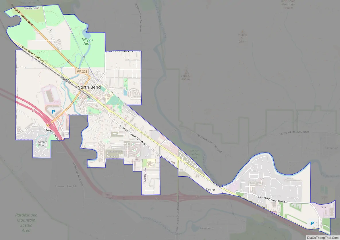
North Bend Road Map
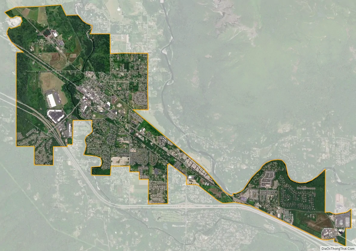
North Bend city Satellite Map
Geography
North Bend is located near the geographic center of King County at 47°29′38″N 121°47′10″W / 47.49389°N 121.78611°W / 47.49389; -121.78611 (47.493831, -121.786247). According to the United States Census Bureau, the city has a total area of 4.31 square miles (11.16 km), of which 4.27 square miles (11.06 km) are land and 0.04 square miles (0.10 km) are water.
North Bend is located in the foothills of the Cascade Range, 30 miles (48 km) east of Seattle in the upper valley of the Snoqualmie River. The city is bordered to the northwest by the city of Snoqualmie. Both communities lie near the center of the Mountains to Sound Greenway. Mount Si, the most prominent geological feature nearby, looms over the town. To the south is Rattlesnake Ridge. Mount Si stands at 4,167 feet (1,270 m) and towers above the town, itself at around 440 ft (130 m). A 4-mile (6 km) trail zigzags up to the summit with a vertical climb of 3,500 feet (1,100 m).
North Bend annexed some neighborhoods near Tanner and the Stilson area July 6, 2009.
Climate
North Bend’s climate is warm and generally dry during the summer when high temperatures tend to be in the 70s and mild to cold during the winter when high temperatures tend to be in the 30s and 40s. The town’s location in the foothills means that it receives significantly higher annual precipitation than other suburbs to the west, and also translates into heavier snowfall in the winter. The all-time record high temperature is 115 °F (46 °C) set during the 2021 Western North America heat wave. The warmest month of the year is August with an average maximum temperature of 77 °F (25 °C), while the coldest month of the year is January with an average minimum temperature of 29 °F (−2 °C). The annual average precipitation in North Bend is 59.1 inches (1,500 mm) with 14.7 inches (370 mm) of snowfall. Winter months tend to be wetter than summer months.
See also
Map of Washington State and its subdivision:- Adams
- Asotin
- Benton
- Chelan
- Clallam
- Clark
- Columbia
- Cowlitz
- Douglas
- Ferry
- Franklin
- Garfield
- Grant
- Grays Harbor
- Island
- Jefferson
- King
- Kitsap
- Kittitas
- Klickitat
- Lewis
- Lincoln
- Mason
- Okanogan
- Pacific
- Pend Oreille
- Pierce
- San Juan
- Skagit
- Skamania
- Snohomish
- Spokane
- Stevens
- Thurston
- Wahkiakum
- Walla Walla
- Whatcom
- Whitman
- Yakima
- Alabama
- Alaska
- Arizona
- Arkansas
- California
- Colorado
- Connecticut
- Delaware
- District of Columbia
- Florida
- Georgia
- Hawaii
- Idaho
- Illinois
- Indiana
- Iowa
- Kansas
- Kentucky
- Louisiana
- Maine
- Maryland
- Massachusetts
- Michigan
- Minnesota
- Mississippi
- Missouri
- Montana
- Nebraska
- Nevada
- New Hampshire
- New Jersey
- New Mexico
- New York
- North Carolina
- North Dakota
- Ohio
- Oklahoma
- Oregon
- Pennsylvania
- Rhode Island
- South Carolina
- South Dakota
- Tennessee
- Texas
- Utah
- Vermont
- Virginia
- Washington
- West Virginia
- Wisconsin
- Wyoming


