Orting is a city in Pierce County, Washington, United States. The population was 9,041 at the 2020 census.
| Name: | Orting city |
|---|---|
| LSAD Code: | 25 |
| LSAD Description: | city (suffix) |
| State: | Washington |
| County: | Pierce County |
| Elevation: | 190 ft (58 m) |
| Total Area: | 2.76 sq mi (7.15 km²) |
| Land Area: | 2.71 sq mi (7.01 km²) |
| Water Area: | 0.06 sq mi (0.14 km²) |
| Total Population: | 9,041 |
| Population Density: | 3,182.99/sq mi (1,228.79/km²) |
| ZIP code: | 98360 |
| Area code: | 360, 564 |
| FIPS code: | 5352005 |
| GNISfeature ID: | 1512539 |
| Website: | cityoforting.org |
Online Interactive Map
Click on ![]() to view map in "full screen" mode.
to view map in "full screen" mode.
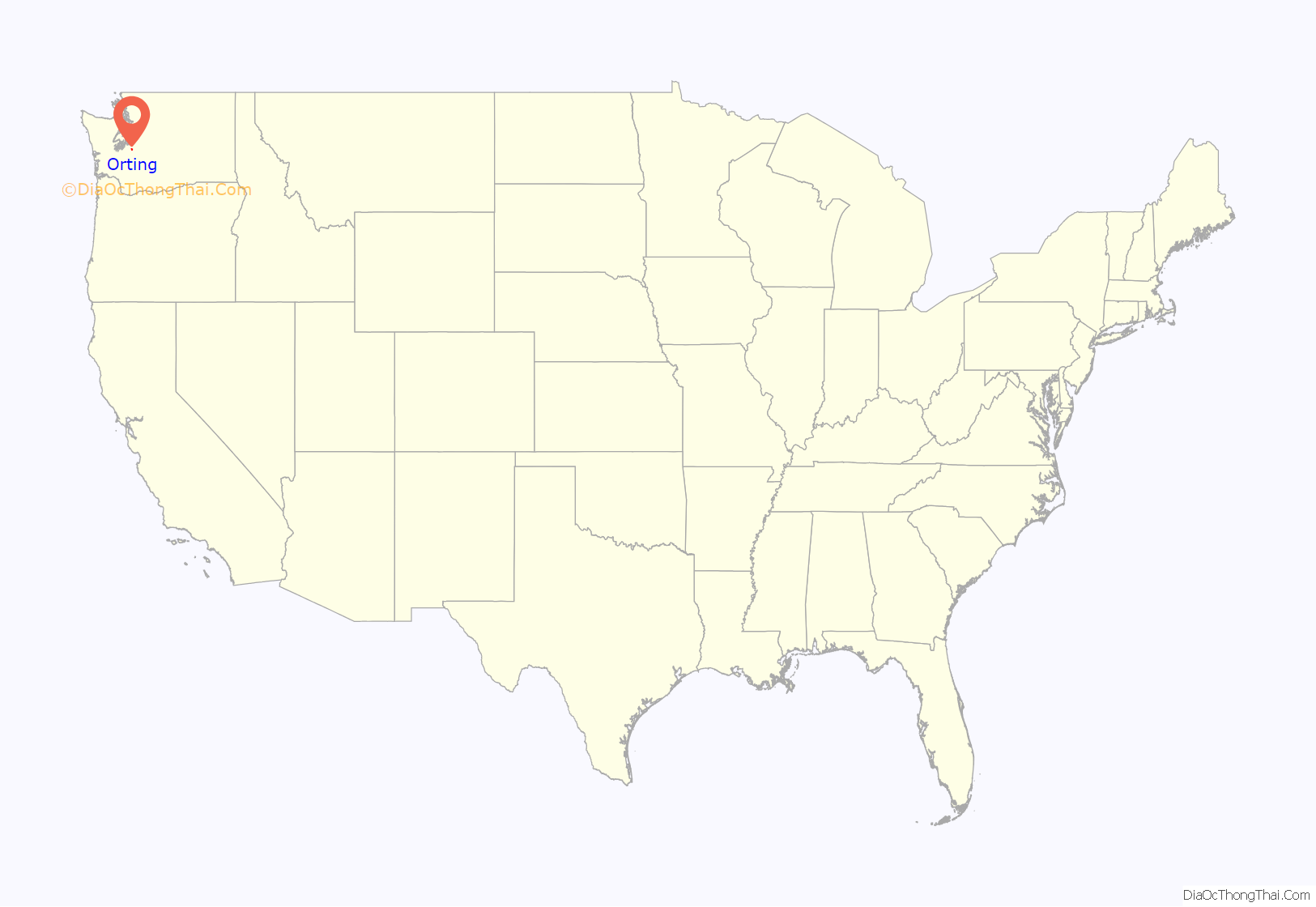
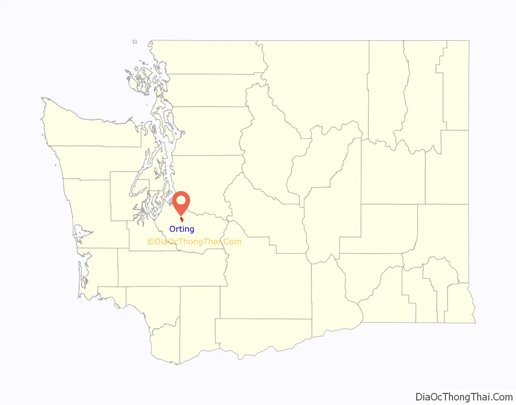
Orting location map. Where is Orting city?
History
The first recorded claims for land in Orting were made in 1854 by William Henry Whitesell, Thomas Headley, Daniel Lane, and Daniel Varner. Streets in the modern city are named after the four men, and a monument in Orting City Park commemorates them. Orting was officially incorporated as a city on April 22, 1889.
Early growth surrounded the area’s production and logging industries. Later, Christmas tree and bulb farms also became part of the local economy. Orting was also a supply town for the coal mining towns Wilkeson and Carbonado . The first railroad in the city was built in 1877 by the Northern Pacific Railway, called “Whitesell’s Crossing” because it ran right through the Whitesell property. Because railroads eased transportation, Orting’s population quickly increased. Remaining parts from the railroad are part of the Meeker Southern Railroad, which runs between Puyallup and McMillin.
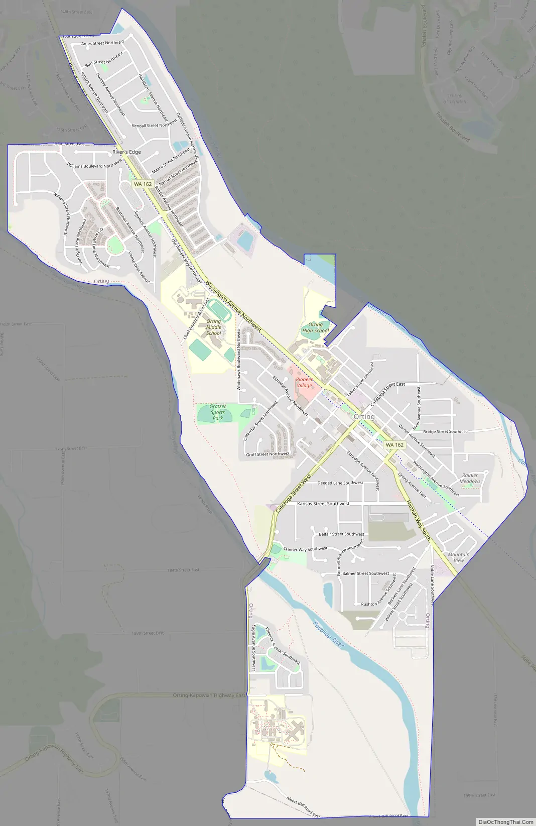
Orting Road Map
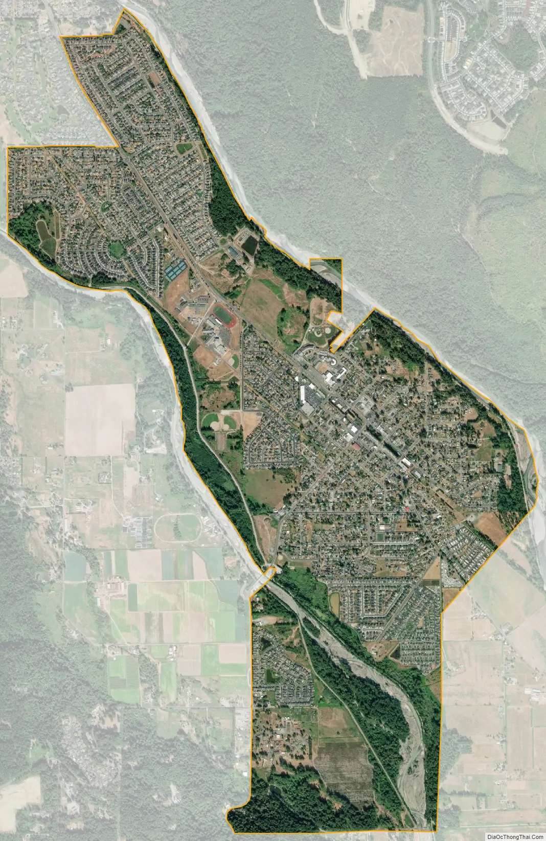
Orting city Satellite Map
Geography
Its coordinates are 47°5′46″N 122°12′19″W / 47.09611°N 122.20528°W / 47.09611; -122.20528 (47.096071, −122.205401).
According to the United States Census Bureau, the city has a total area of 2.80 square miles (7.25 km), of which 2.73 square miles (7.07 km) is land and 0.07 square miles (0.18 km) is water.
Mount Rainier
The city sits in a fertile valley between two major rivers, the Carbon and Puyallup. It is built entirely on several layers of lahar deposits. Orting is located about 30 mi (48 km) from Mount Rainier. Based on studies of past lahar flow and the mountain’s structure, Orting has been designated the most at-risk city from Mount Rainier’s lahar activity; scientists predict that lahar could reach Orting in 30 minutes from the mountain. The Mount Rainier Volcano Lahar Warning System has installed sirens throughout the area, activated by sensors on Mount Rainier. Local schools regularly stage lahar evacuation drills and residents are informed of lahar escape routes. Local citizens are designing the Bridge for Kids, a walking bridge across the Carbon River that could be used for recreation and rapid evacuation toward Cascadia, Washington.
See also
Map of Washington State and its subdivision:- Adams
- Asotin
- Benton
- Chelan
- Clallam
- Clark
- Columbia
- Cowlitz
- Douglas
- Ferry
- Franklin
- Garfield
- Grant
- Grays Harbor
- Island
- Jefferson
- King
- Kitsap
- Kittitas
- Klickitat
- Lewis
- Lincoln
- Mason
- Okanogan
- Pacific
- Pend Oreille
- Pierce
- San Juan
- Skagit
- Skamania
- Snohomish
- Spokane
- Stevens
- Thurston
- Wahkiakum
- Walla Walla
- Whatcom
- Whitman
- Yakima
- Alabama
- Alaska
- Arizona
- Arkansas
- California
- Colorado
- Connecticut
- Delaware
- District of Columbia
- Florida
- Georgia
- Hawaii
- Idaho
- Illinois
- Indiana
- Iowa
- Kansas
- Kentucky
- Louisiana
- Maine
- Maryland
- Massachusetts
- Michigan
- Minnesota
- Mississippi
- Missouri
- Montana
- Nebraska
- Nevada
- New Hampshire
- New Jersey
- New Mexico
- New York
- North Carolina
- North Dakota
- Ohio
- Oklahoma
- Oregon
- Pennsylvania
- Rhode Island
- South Carolina
- South Dakota
- Tennessee
- Texas
- Utah
- Vermont
- Virginia
- Washington
- West Virginia
- Wisconsin
- Wyoming


