Oso is a census-designated place (CDP) in Snohomish County, Washington, United States. It is located to the west of Darrington, south of the North Fork of the Stillaguamish River and approximately 50 air miles (80 km) from Seattle. The population of Oso was 180 at the 2010 census. The area was the site of a large landslide in March 2014 that killed 43 people, the deadliest incident of its kind in U.S. history.
| Name: | Oso CDP |
|---|---|
| LSAD Code: | 57 |
| LSAD Description: | CDP (suffix) |
| State: | Washington |
| County: | Snohomish County |
| Elevation: | 207 ft (63 m) |
| Total Area: | 3.7 sq mi (9.6 km²) |
| Land Area: | 3.6 sq mi (9.4 km²) |
| Water Area: | 0.1 sq mi (0.2 km²) |
| Total Population: | 180 |
| Population Density: | 69.0/sq mi (26.2/km²) |
| ZIP code: | 98223 |
| Area code: | 360 |
| FIPS code: | 5352110 |
| GNISfeature ID: | 1524091 |
Online Interactive Map
Click on ![]() to view map in "full screen" mode.
to view map in "full screen" mode.
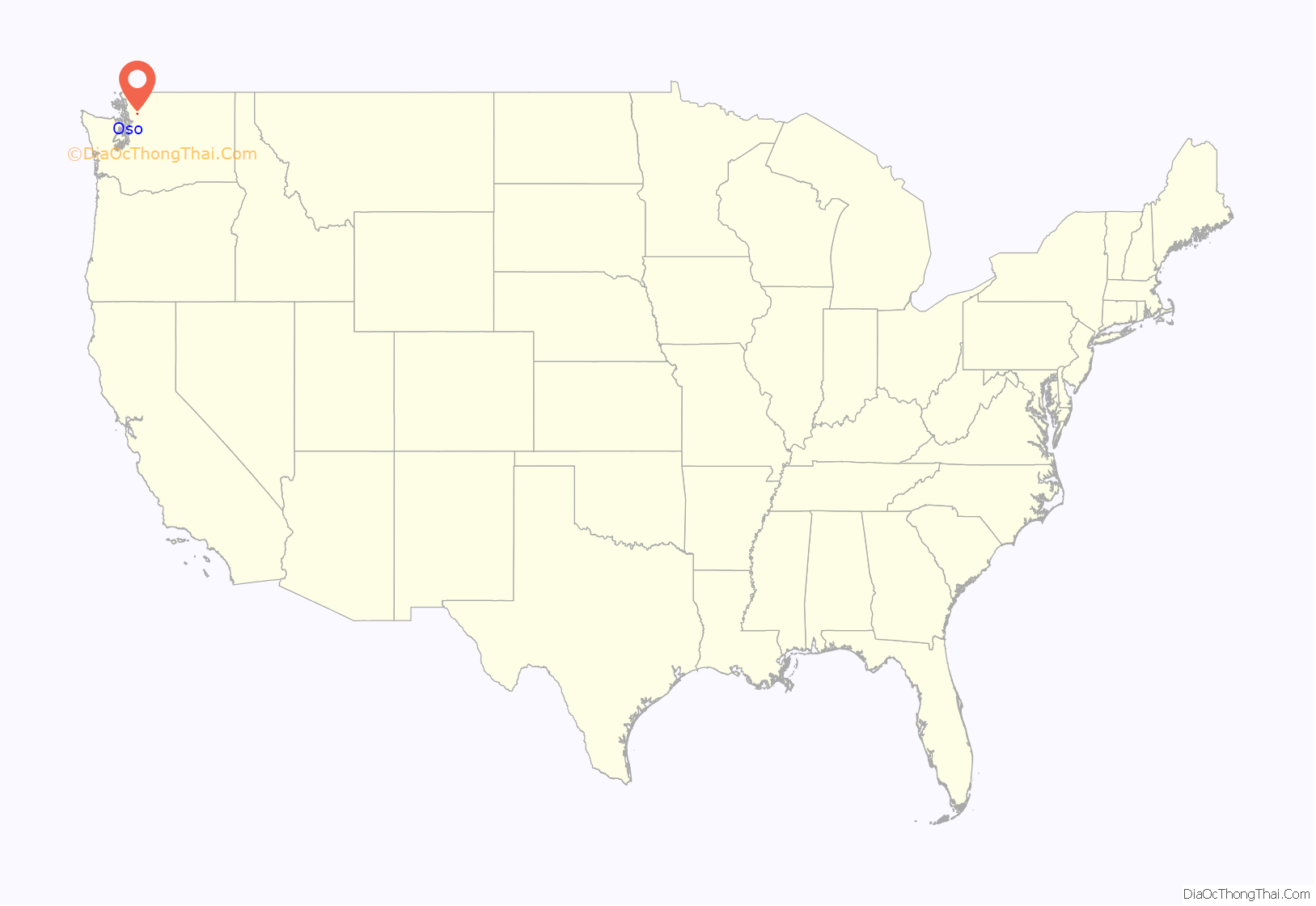
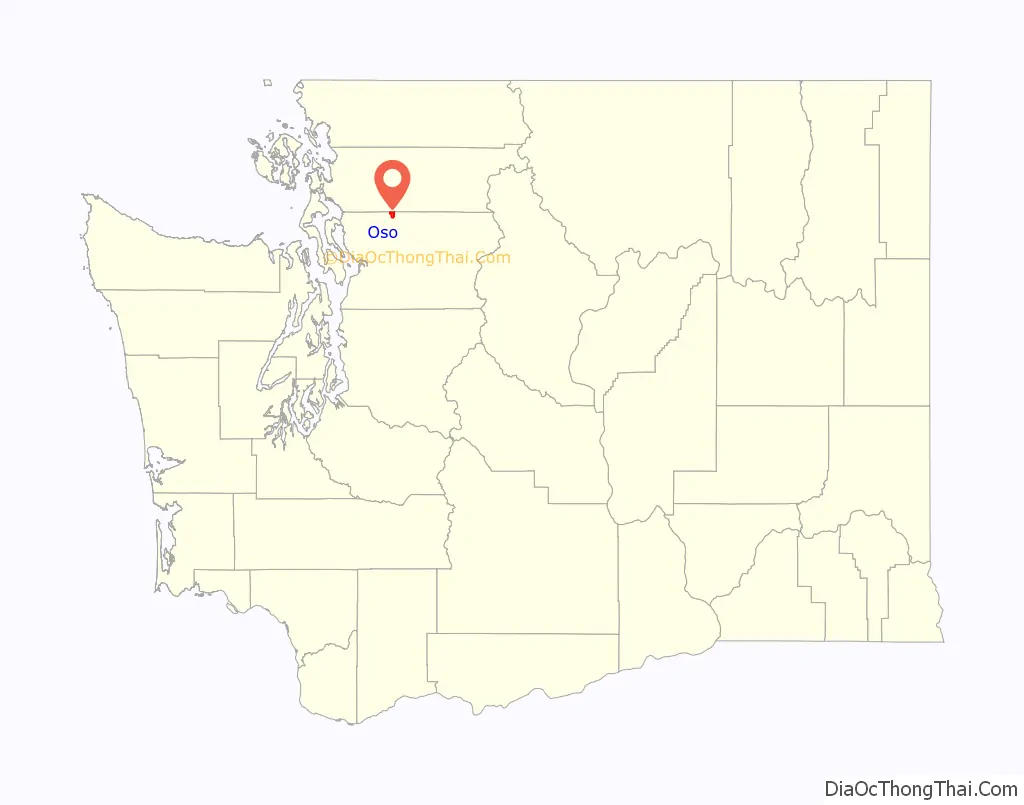
Oso location map. Where is Oso CDP?
History
The town was originally named Allen, but was renamed to Oso to avoid confusion with Allyn in Mason County. Oso is Spanish for bear and was named by J. P. Britzius after the town of Oso, Texas in Fayette County. The Texas town no longer exists, having been abandoned in favor of the nearby town of Flatonia which had a railway station.
2014 mudslide
On Saturday, March 22, 2014, at 10:37 a.m. local time, a major mudflow occurred 4 miles (6.4 km) east of Oso, when a portion of an unstable hill collapsed, sending mud and debris across the North Fork of the Stillaguamish River, engulfing a rural neighborhood, and covering an area of approximately 1 square mile (2.6 km). Forty-three people were killed.
2016 wildfire
A wildfire grew off Washington State Route 530 near Oso. As of May 13, 2016, the wildfire had spread to over 100 acres.
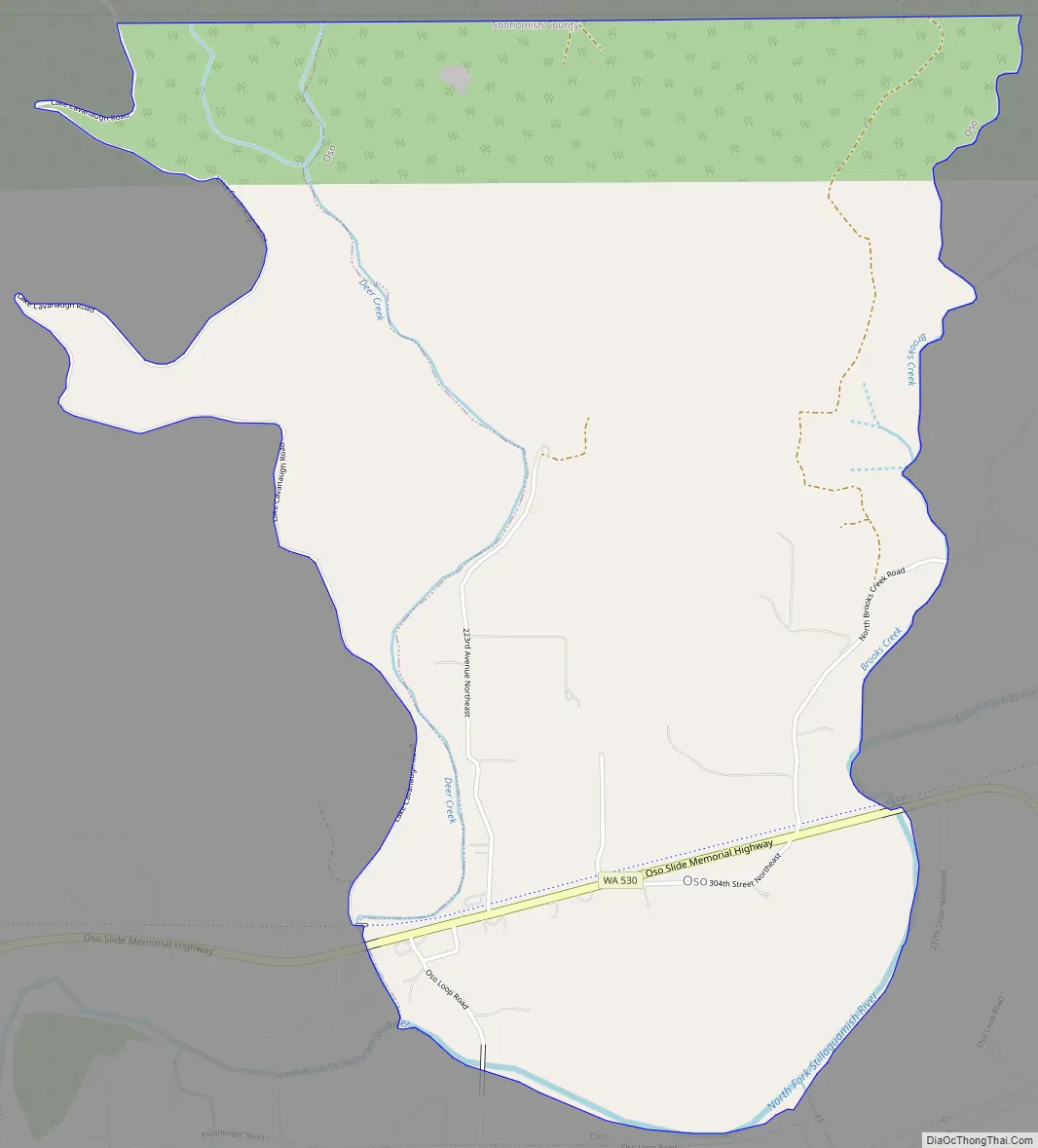
Oso Road Map
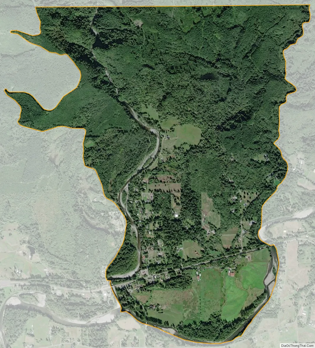
Oso city Satellite Map
Geography
Oso is located along the Stillaguamish River North Fork, which forms a valley between several arms of the Cascade Range. The community is accessible via State Route 530, which continues 12 miles (19 km) west to Arlington and 16 miles (26 km) east to Darrington.
Oso is located at 48°16′20″N 121°55′9″W / 48.27222°N 121.91917°W / 48.27222; -121.91917 (48.272281, −121.919235). The United States Census Bureau defines the Oso CDP as extending north from the river to the Skagit County border. It has a total area of 3.7 square miles (9.6 km), of which, 3.6 square miles (9.4 km) of it is land and 0.1 square miles (0.2 km) of it (2.43%) is water.
See also
Map of Washington State and its subdivision:- Adams
- Asotin
- Benton
- Chelan
- Clallam
- Clark
- Columbia
- Cowlitz
- Douglas
- Ferry
- Franklin
- Garfield
- Grant
- Grays Harbor
- Island
- Jefferson
- King
- Kitsap
- Kittitas
- Klickitat
- Lewis
- Lincoln
- Mason
- Okanogan
- Pacific
- Pend Oreille
- Pierce
- San Juan
- Skagit
- Skamania
- Snohomish
- Spokane
- Stevens
- Thurston
- Wahkiakum
- Walla Walla
- Whatcom
- Whitman
- Yakima
- Alabama
- Alaska
- Arizona
- Arkansas
- California
- Colorado
- Connecticut
- Delaware
- District of Columbia
- Florida
- Georgia
- Hawaii
- Idaho
- Illinois
- Indiana
- Iowa
- Kansas
- Kentucky
- Louisiana
- Maine
- Maryland
- Massachusetts
- Michigan
- Minnesota
- Mississippi
- Missouri
- Montana
- Nebraska
- Nevada
- New Hampshire
- New Jersey
- New Mexico
- New York
- North Carolina
- North Dakota
- Ohio
- Oklahoma
- Oregon
- Pennsylvania
- Rhode Island
- South Carolina
- South Dakota
- Tennessee
- Texas
- Utah
- Vermont
- Virginia
- Washington
- West Virginia
- Wisconsin
- Wyoming


