Palouse is a city in Whitman County, Washington, United States. The population was 998 at the 2010 census.
| Name: | Palouse city |
|---|---|
| LSAD Code: | 25 |
| LSAD Description: | city (suffix) |
| State: | Washington |
| County: | Whitman County |
| Elevation: | 2,434 ft (742 m) |
| Total Area: | 1.05 sq mi (2.71 km²) |
| Land Area: | 1.05 sq mi (2.71 km²) |
| Water Area: | 0.00 sq mi (0.00 km²) |
| Total Population: | 998 |
| Population Density: | 1,026.74/sq mi (396.37/km²) |
| ZIP code: | 99161 |
| Area code: | 509 |
| FIPS code: | 5352950 |
| GNISfeature ID: | 1531058 |
| Website: | www.visitpalouse.com |
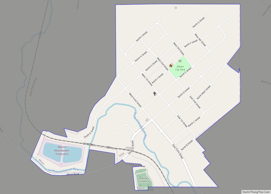
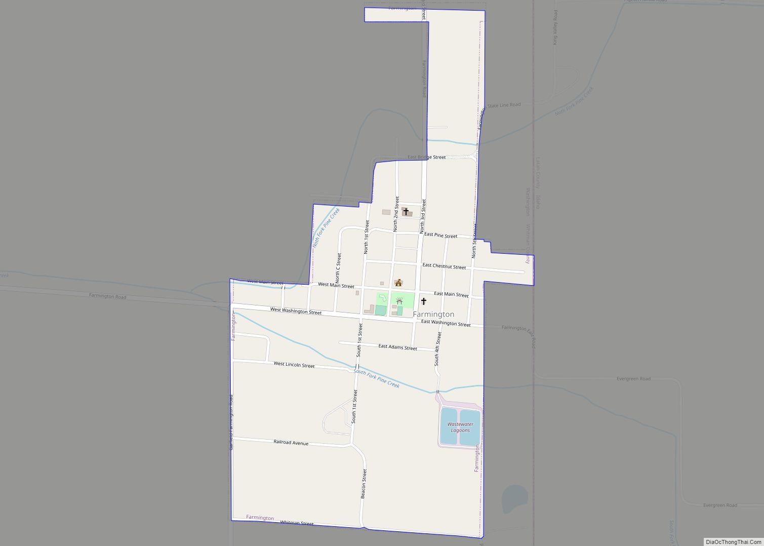
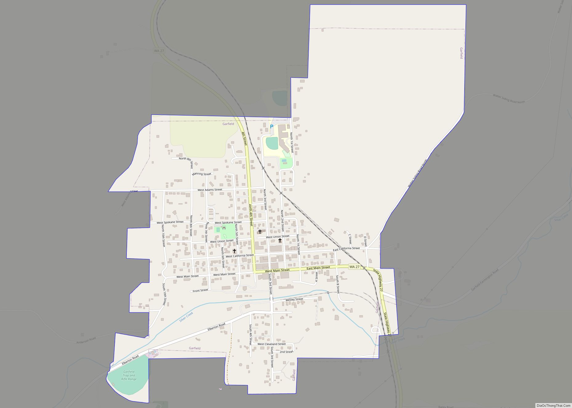
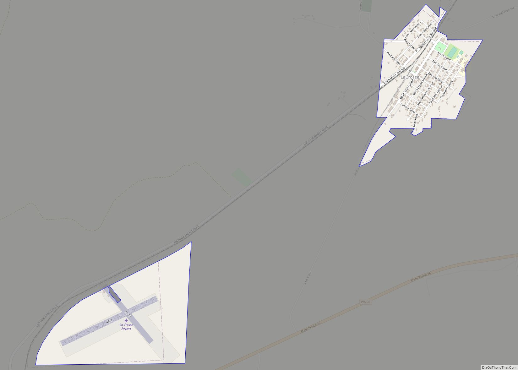
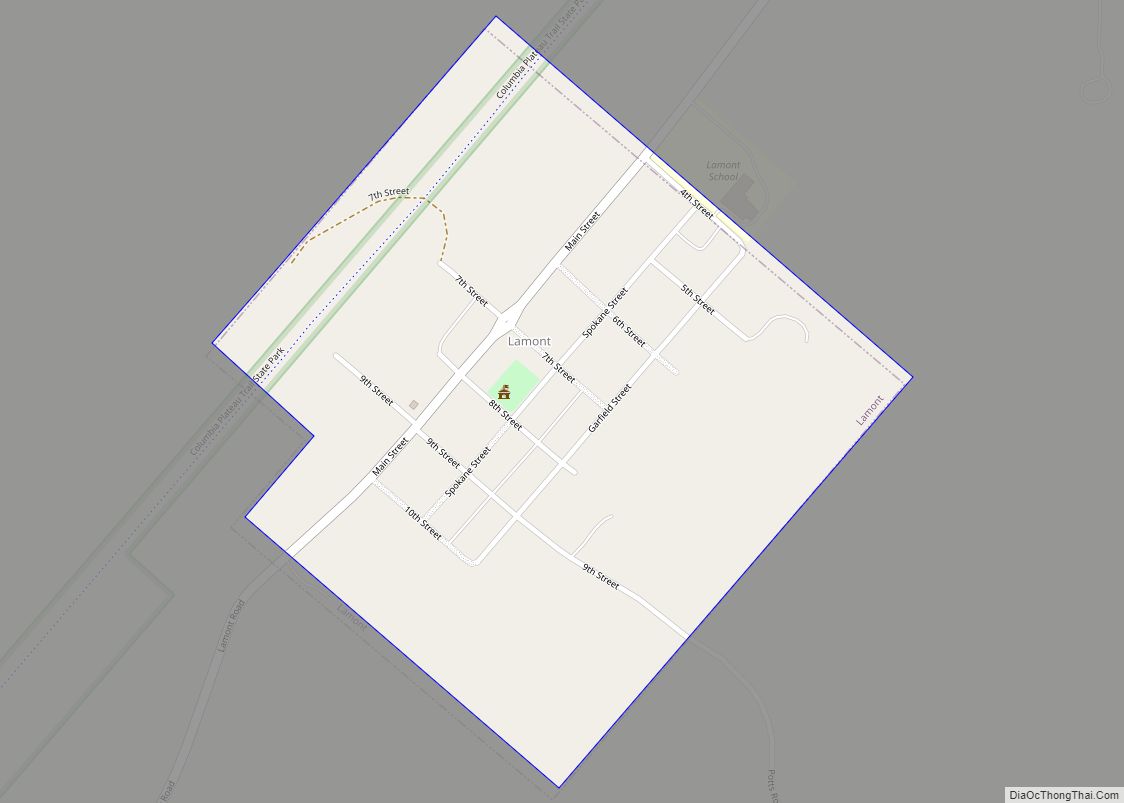
Online Interactive Map
Click on ![]() to view map in "full screen" mode.
to view map in "full screen" mode.
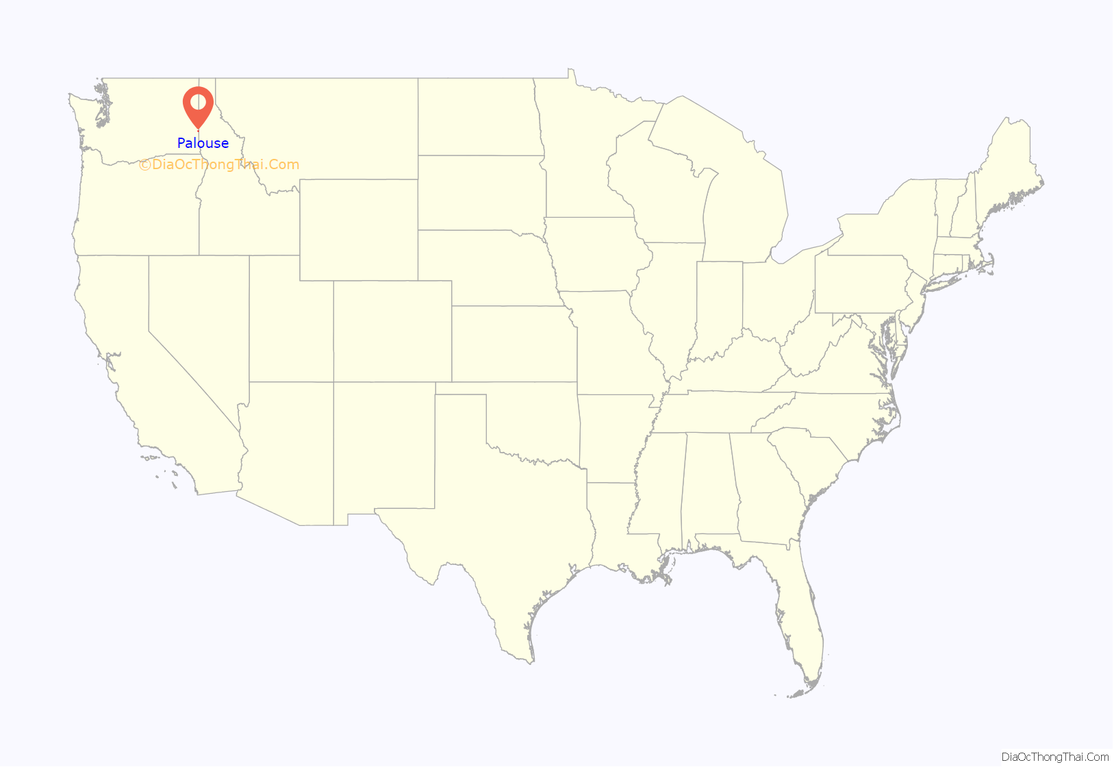
Palouse location map. Where is Palouse city?
History
Palouse was first settled in 1869 by William Ewing. The townsite was founded in 1875 by W.P. Breeding.
Palouse is named for the region of farmland in which it is situated, and was incorporated in 1888.
Palouse adopted a city flag on August 27, 2019, following a campaign started by a local resident. The flag consists of a green field with a gold and blue knot that represents the city’s people, commerce, and the Palouse River.
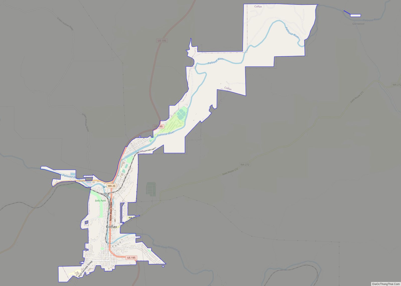
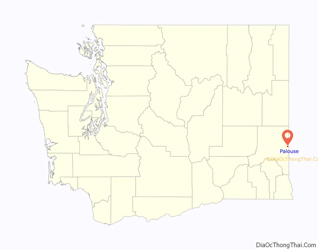
Palouse Road Map
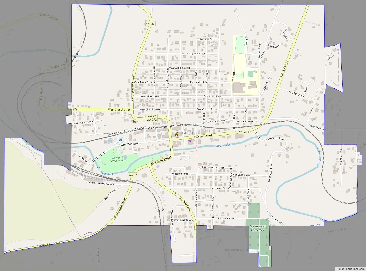
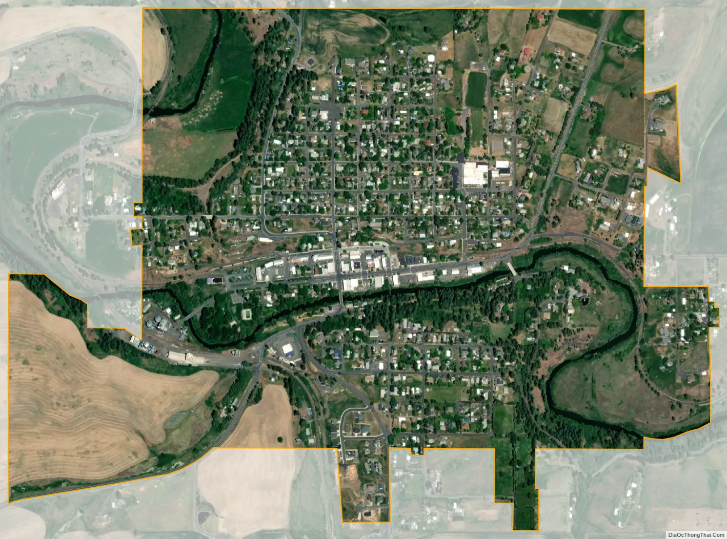
Palouse city Satellite Map
Geography
According to the United States Census Bureau, the city has a total area of 1.08 square miles (2.80 km), all of it land.
See also
Map of Washington State and its subdivision:- Adams
- Asotin
- Benton
- Chelan
- Clallam
- Clark
- Columbia
- Cowlitz
- Douglas
- Ferry
- Franklin
- Garfield
- Grant
- Grays Harbor
- Island
- Jefferson
- King
- Kitsap
- Kittitas
- Klickitat
- Lewis
- Lincoln
- Mason
- Okanogan
- Pacific
- Pend Oreille
- Pierce
- San Juan
- Skagit
- Skamania
- Snohomish
- Spokane
- Stevens
- Thurston
- Wahkiakum
- Walla Walla
- Whatcom
- Whitman
- Yakima
- Alabama
- Alaska
- Arizona
- Arkansas
- California
- Colorado
- Connecticut
- Delaware
- District of Columbia
- Florida
- Georgia
- Hawaii
- Idaho
- Illinois
- Indiana
- Iowa
- Kansas
- Kentucky
- Louisiana
- Maine
- Maryland
- Massachusetts
- Michigan
- Minnesota
- Mississippi
- Missouri
- Montana
- Nebraska
- Nevada
- New Hampshire
- New Jersey
- New Mexico
- New York
- North Carolina
- North Dakota
- Ohio
- Oklahoma
- Oregon
- Pennsylvania
- Rhode Island
- South Carolina
- South Dakota
- Tennessee
- Texas
- Utah
- Vermont
- Virginia
- Washington
- West Virginia
- Wisconsin
- Wyoming