Picnic Point is a census-designated place (CDP) located in Snohomish County, Washington. The population was 8,809 at the 2010 census. It was formerly part of the Picnic Point-North Lynnwood CDP.
| Name: | Picnic Point CDP |
|---|---|
| LSAD Code: | 57 |
| LSAD Description: | CDP (suffix) |
| State: | Washington |
| County: | Snohomish County |
| Elevation: | 79 ft (24 m) |
| Total Area: | 4.01 sq mi (10.4 km²) |
| Land Area: | 3.04 sq mi (7.9 km²) |
| Water Area: | 0.07 sq mi (0.2 km²) |
| Total Population: | 8,809 |
| Population Density: | 2,200/sq mi (850/km²) |
| Area code: | 360 |
| FIPS code: | 5354213 |
Online Interactive Map
Click on ![]() to view map in "full screen" mode.
to view map in "full screen" mode.
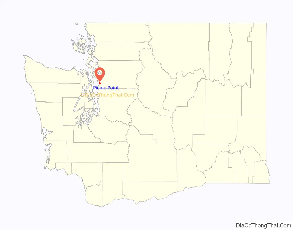
Picnic Point location map. Where is Picnic Point CDP?

Picnic Point Road Map

Picnic Point city Satellite Map

Geography
Picnic Point is located at coordinates 47°51’37″N 122°17’40″W. The elevation is 79 feet.
Picnic Point Park, located on the Puget Sound coastline, offers access to the beach as well as views of the sound, Whidbey Island, and the Olympic Mountains.
See also
Map of Washington State and its subdivision:- Adams
- Asotin
- Benton
- Chelan
- Clallam
- Clark
- Columbia
- Cowlitz
- Douglas
- Ferry
- Franklin
- Garfield
- Grant
- Grays Harbor
- Island
- Jefferson
- King
- Kitsap
- Kittitas
- Klickitat
- Lewis
- Lincoln
- Mason
- Okanogan
- Pacific
- Pend Oreille
- Pierce
- San Juan
- Skagit
- Skamania
- Snohomish
- Spokane
- Stevens
- Thurston
- Wahkiakum
- Walla Walla
- Whatcom
- Whitman
- Yakima
- Alabama
- Alaska
- Arizona
- Arkansas
- California
- Colorado
- Connecticut
- Delaware
- District of Columbia
- Florida
- Georgia
- Hawaii
- Idaho
- Illinois
- Indiana
- Iowa
- Kansas
- Kentucky
- Louisiana
- Maine
- Maryland
- Massachusetts
- Michigan
- Minnesota
- Mississippi
- Missouri
- Montana
- Nebraska
- Nevada
- New Hampshire
- New Jersey
- New Mexico
- New York
- North Carolina
- North Dakota
- Ohio
- Oklahoma
- Oregon
- Pennsylvania
- Rhode Island
- South Carolina
- South Dakota
- Tennessee
- Texas
- Utah
- Vermont
- Virginia
- Washington
- West Virginia
- Wisconsin
- Wyoming


