Port Gamble Tribal Community is a census-designated place (CDP) corresponding to the Port Gamble S’Klallam Reservation in Kitsap County, Washington, United States. The population was 916 at the 2010 census.
| Name: | Port Gamble Tribal Community CDP |
|---|---|
| LSAD Code: | 57 |
| LSAD Description: | CDP (suffix) |
| State: | Washington |
| County: | Kitsap County |
| Elevation: | 80 ft (20 m) |
| Total Area: | 4.87 sq mi (12.62 km²) |
| Land Area: | 4.23 sq mi (10.95 km²) |
| Water Area: | 0.64 sq mi (1.67 km²) |
| Total Population: | 916 |
| Population Density: | 217/sq mi (83.6/km²) |
| Area code: | 360 |
| FIPS code: | 5355612 |
| GNISfeature ID: | 2585020 |
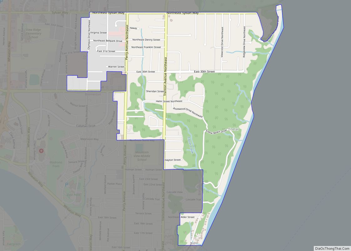
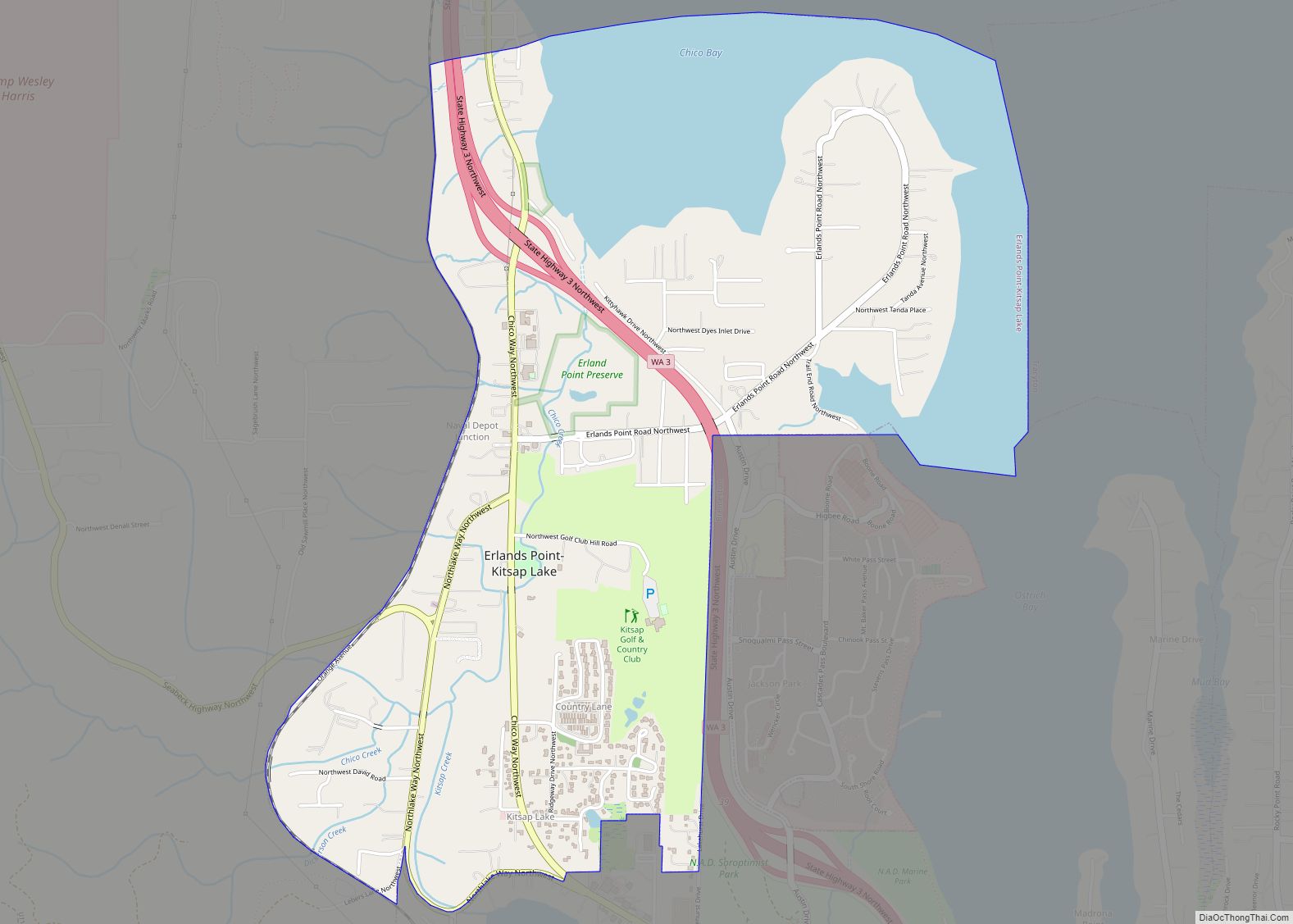
Online Interactive Map
Click on ![]() to view map in "full screen" mode.
to view map in "full screen" mode.
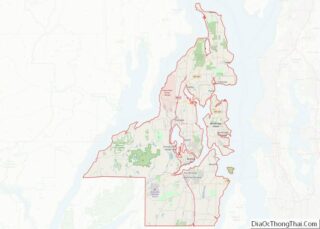
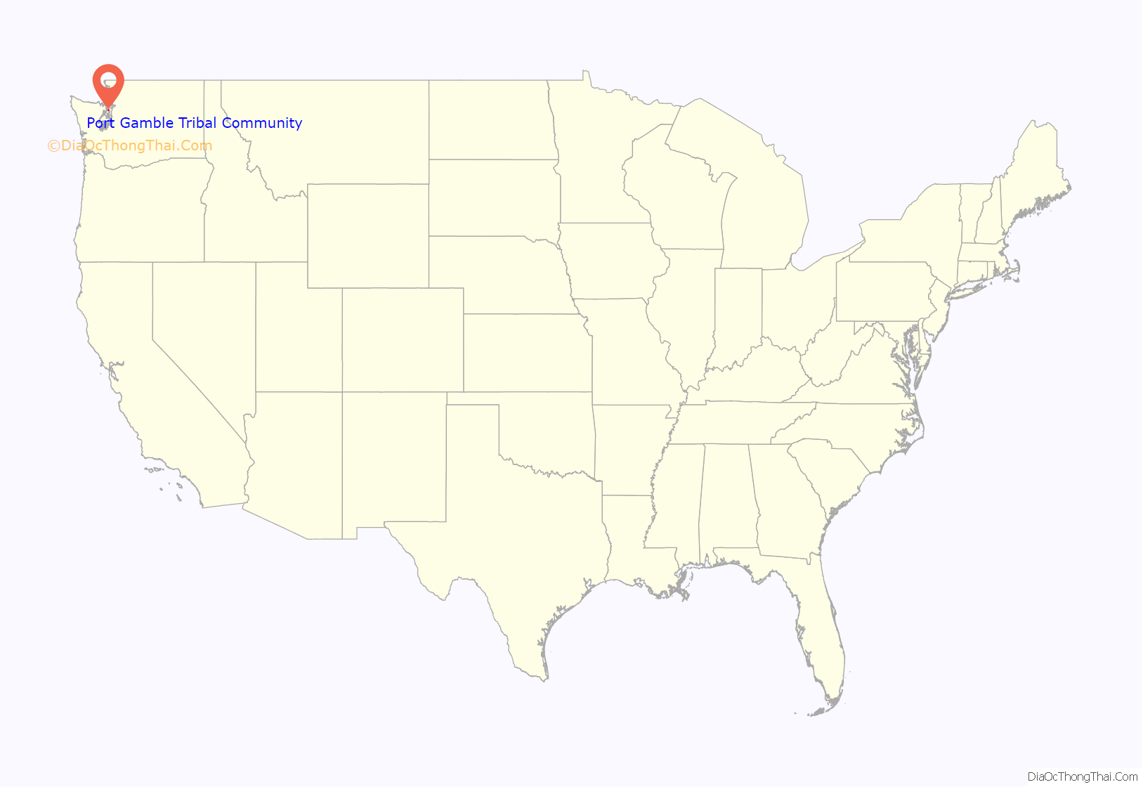
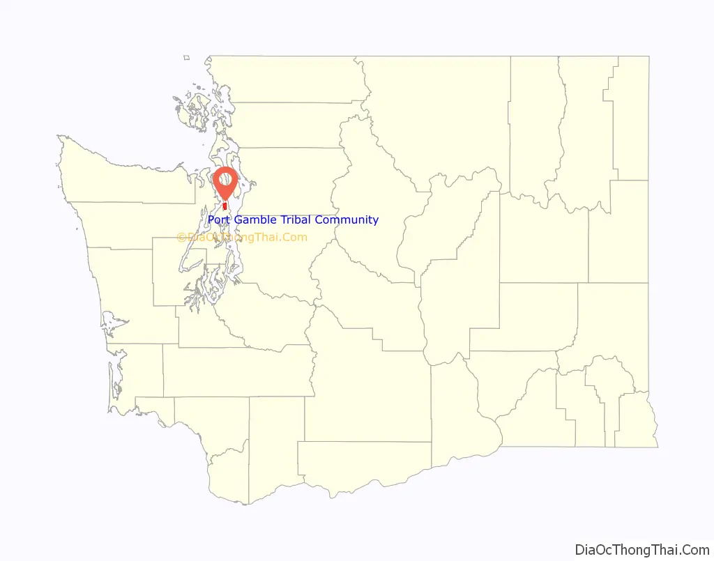
Port Gamble Tribal Community location map. Where is Port Gamble Tribal Community CDP?
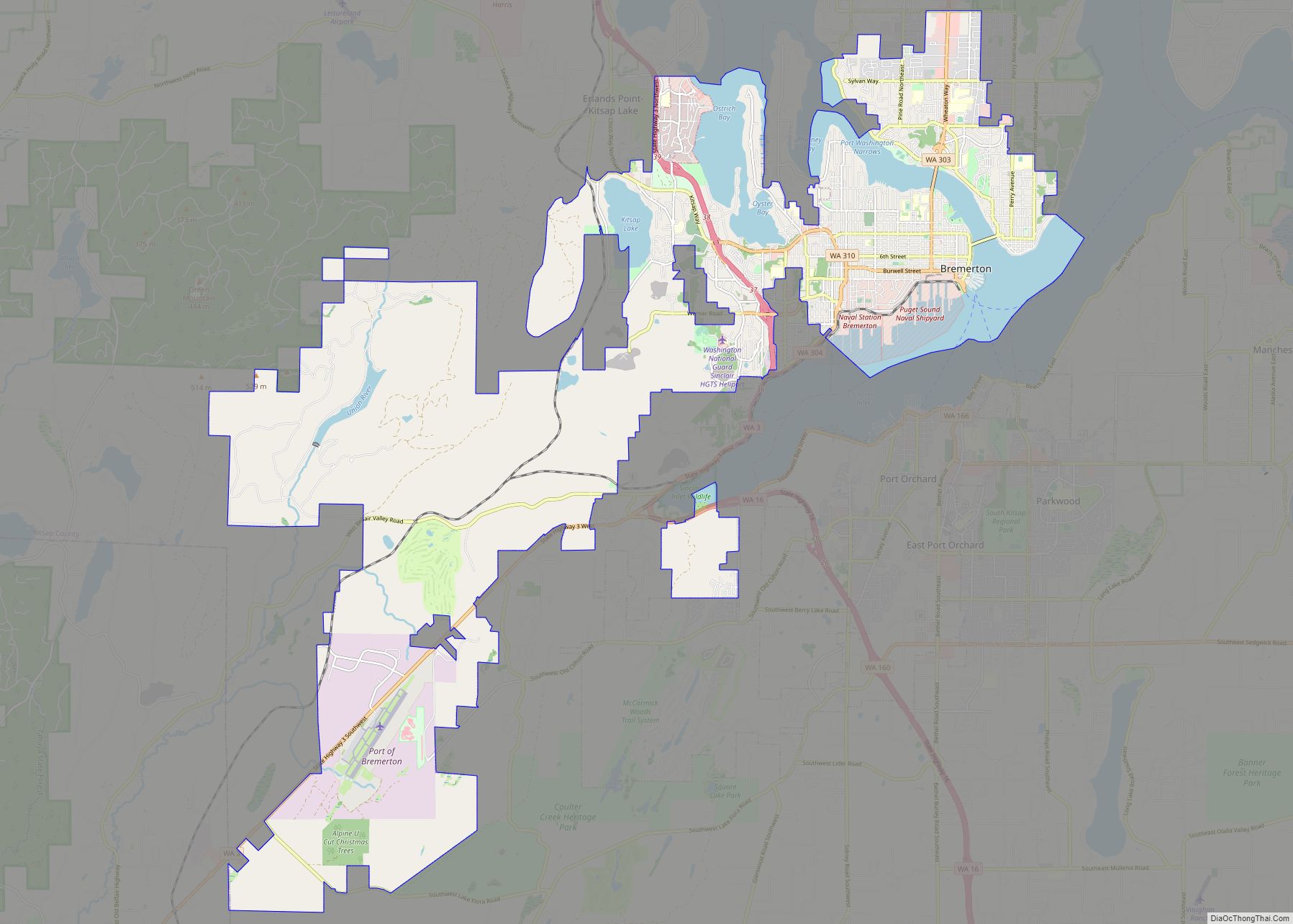
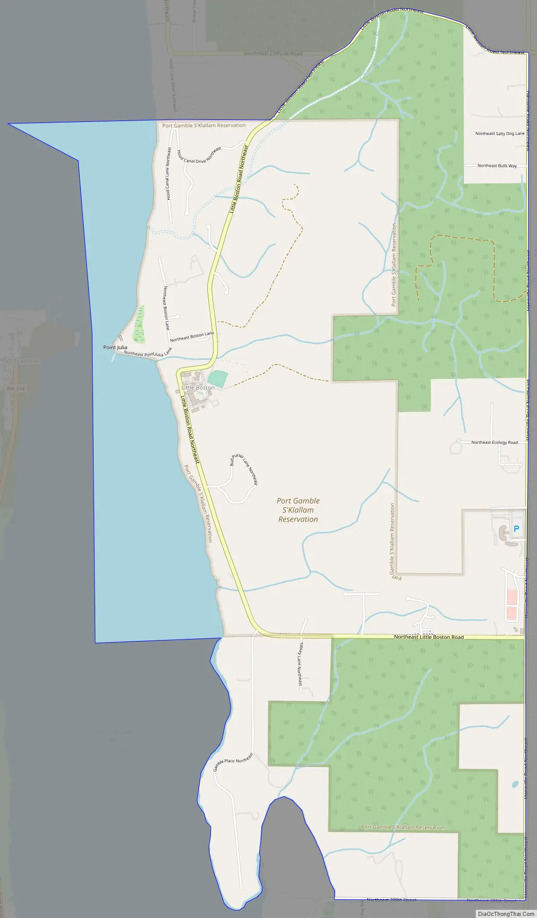
Port Gamble Tribal Community Road Map
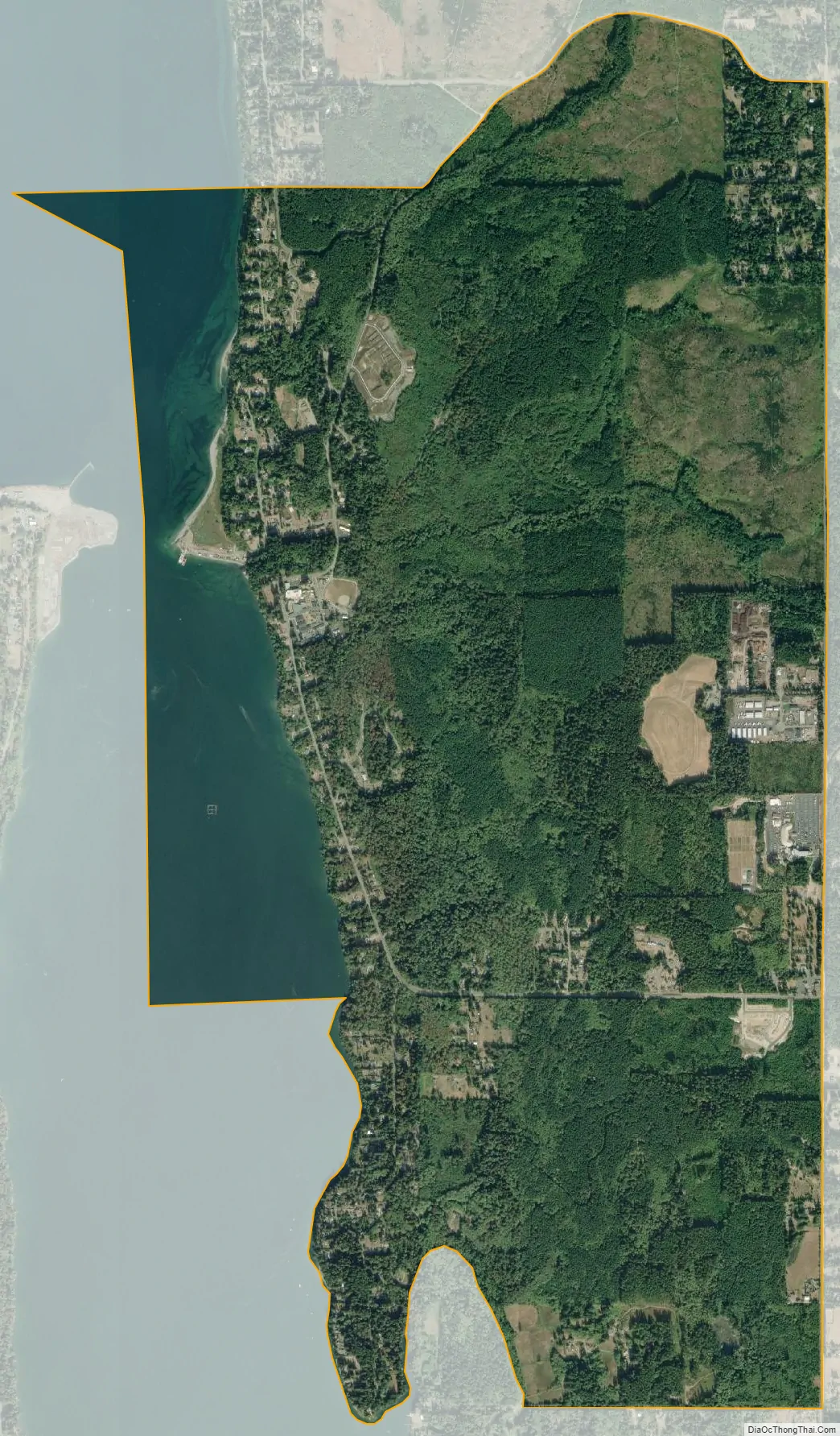
Port Gamble Tribal Community city Satellite Map
Geography
The tribal community is in northern Kitsap County, on the east side of Port Gamble, an embayment of Hood Canal. It includes the unincorporated community of Little Boston. Directly across the bay to the west is the unincorporated community and historic district of Port Gamble. The tribal community is 6 miles (10 km) northwest of Kingston and 19 miles (31 km) north of Bainbridge Island.
According to the United States Census Bureau, the Port Gamble Tribal Community CDP has a total area of 4.9 square miles (12.6 km), of which 4.2 square miles (11.0 km) are land and 0.7 square miles (1.7 km), or 13.21%, are water.
See also
Map of Washington State and its subdivision:- Adams
- Asotin
- Benton
- Chelan
- Clallam
- Clark
- Columbia
- Cowlitz
- Douglas
- Ferry
- Franklin
- Garfield
- Grant
- Grays Harbor
- Island
- Jefferson
- King
- Kitsap
- Kittitas
- Klickitat
- Lewis
- Lincoln
- Mason
- Okanogan
- Pacific
- Pend Oreille
- Pierce
- San Juan
- Skagit
- Skamania
- Snohomish
- Spokane
- Stevens
- Thurston
- Wahkiakum
- Walla Walla
- Whatcom
- Whitman
- Yakima
- Alabama
- Alaska
- Arizona
- Arkansas
- California
- Colorado
- Connecticut
- Delaware
- District of Columbia
- Florida
- Georgia
- Hawaii
- Idaho
- Illinois
- Indiana
- Iowa
- Kansas
- Kentucky
- Louisiana
- Maine
- Maryland
- Massachusetts
- Michigan
- Minnesota
- Mississippi
- Missouri
- Montana
- Nebraska
- Nevada
- New Hampshire
- New Jersey
- New Mexico
- New York
- North Carolina
- North Dakota
- Ohio
- Oklahoma
- Oregon
- Pennsylvania
- Rhode Island
- South Carolina
- South Dakota
- Tennessee
- Texas
- Utah
- Vermont
- Virginia
- Washington
- West Virginia
- Wisconsin
- Wyoming