Port Hadlock-Irondale is a census-designated place (CDP) in Jefferson County, Washington, United States. The population was 3,580 at the 2010 census.
| Name: | Port Hadlock-Irondale CDP |
|---|---|
| LSAD Code: | 57 |
| LSAD Description: | CDP (suffix) |
| State: | Washington |
| County: | Jefferson County |
| Elevation: | 120 ft (40 m) |
| Total Area: | 7.8 sq mi (20.1 km²) |
| Land Area: | 6.7 sq mi (17.3 km²) |
| Water Area: | 1.1 sq mi (2.8 km²) |
| Total Population: | 3,580 |
| Population Density: | 535/sq mi (206.7/km²) |
| ZIP code: | 98339 |
| Area code: | 360 |
| FIPS code: | 5355620 |
| GNISfeature ID: | 2409092 |
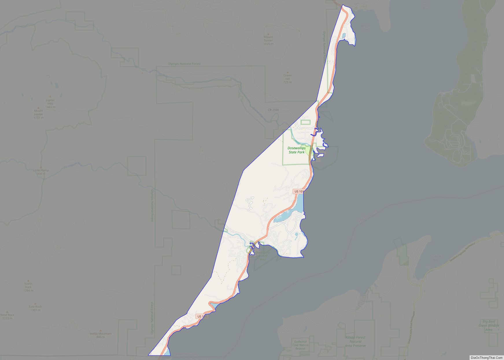
Online Interactive Map
Click on ![]() to view map in "full screen" mode.
to view map in "full screen" mode.
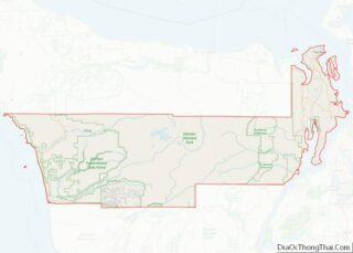
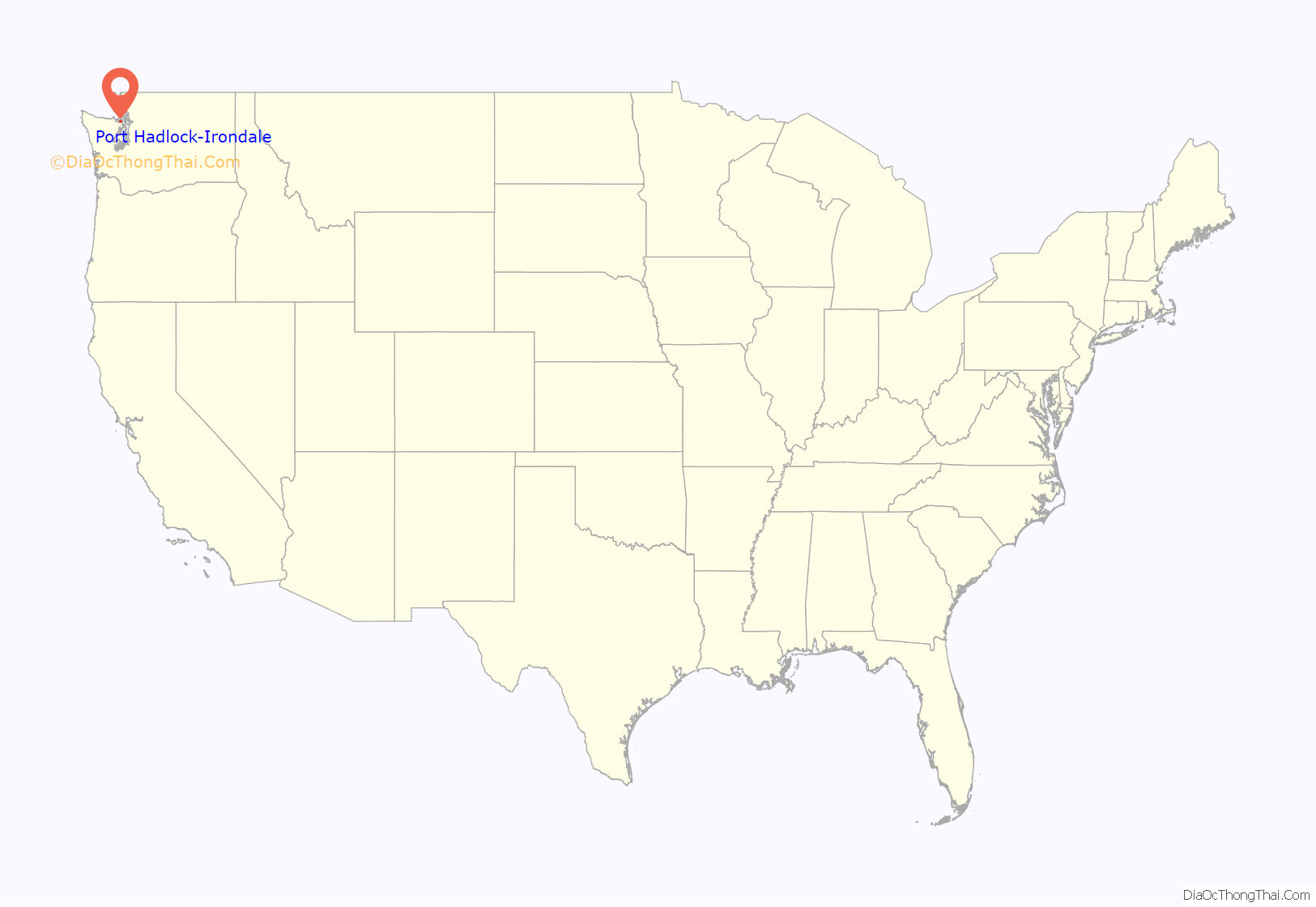
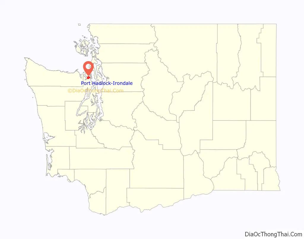
Port Hadlock-Irondale location map. Where is Port Hadlock-Irondale CDP?
History
The first iron-producing blast furnace in Washington Territory was completed in Irondale in 1881. About 1,200 tons of pig iron was produced during its first year of operation, with ore obtained from Chimacum Valley. The plant was closed in 1889.
The initial hope was for Irondale to become a major iron and steel producer for the western United States. At first, it looked as though this dream was going to come true. After only two years of production, Irondale had several bars, boarding facilities for both men and horses, and homes and accommodations for over 200 workers. Before the local economy and the plant failed in 1889, there were over 400 men employed at the foundry. The town expanded and grew on the sandy bluffs that overlooked the waterside plant.
There were several efforts made to rebuild the iron and steel plant in the following years, but all failed. Irondale today is a bedroom community for the surrounding towns of Port Hadlock, Port Townsend and further south to Silverdale.
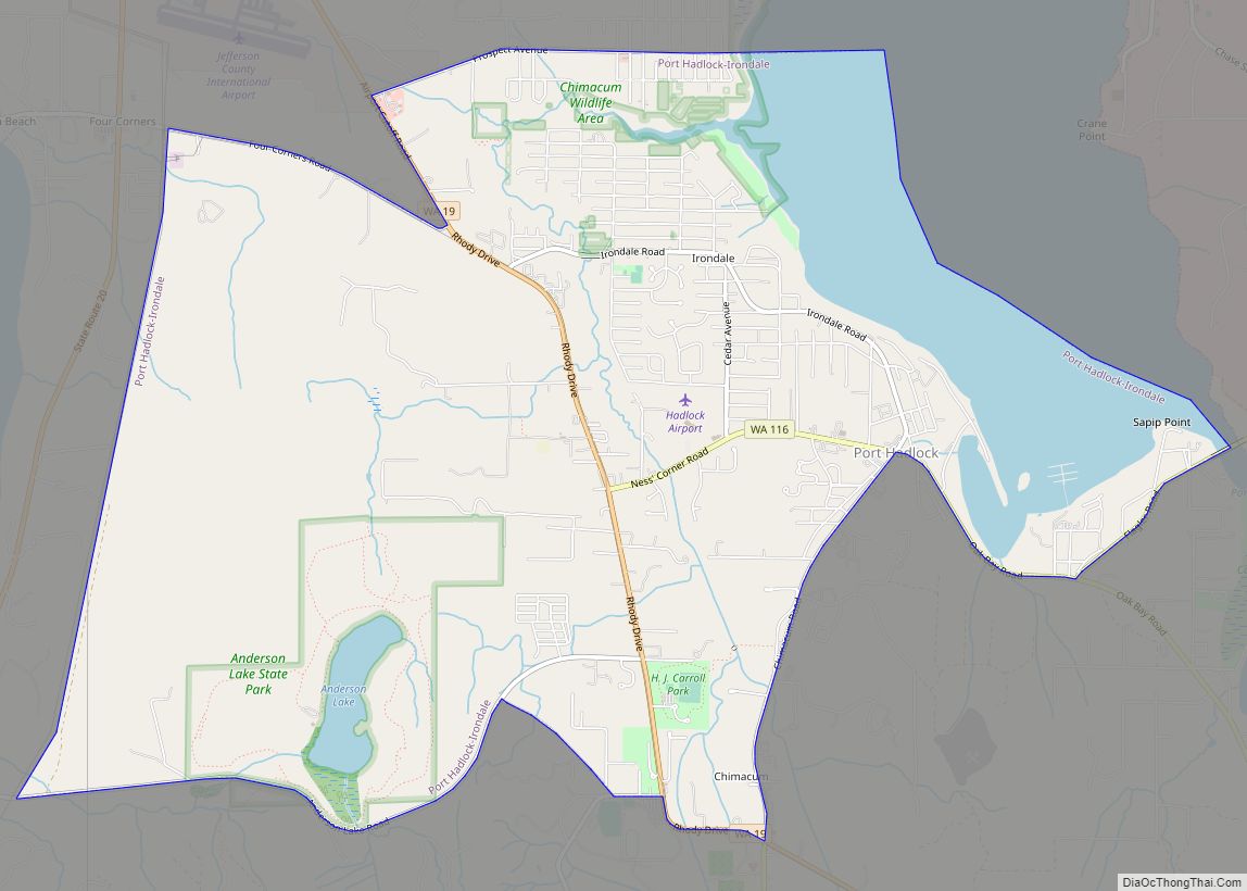
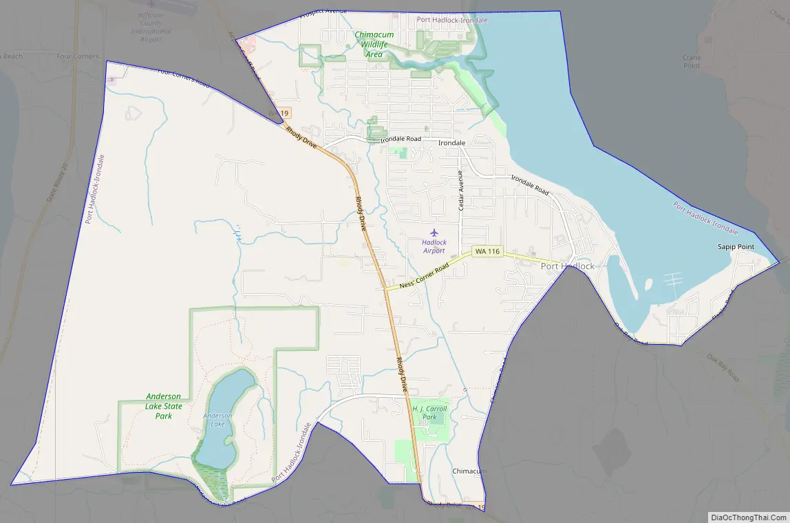
Port Hadlock-Irondale Road Map
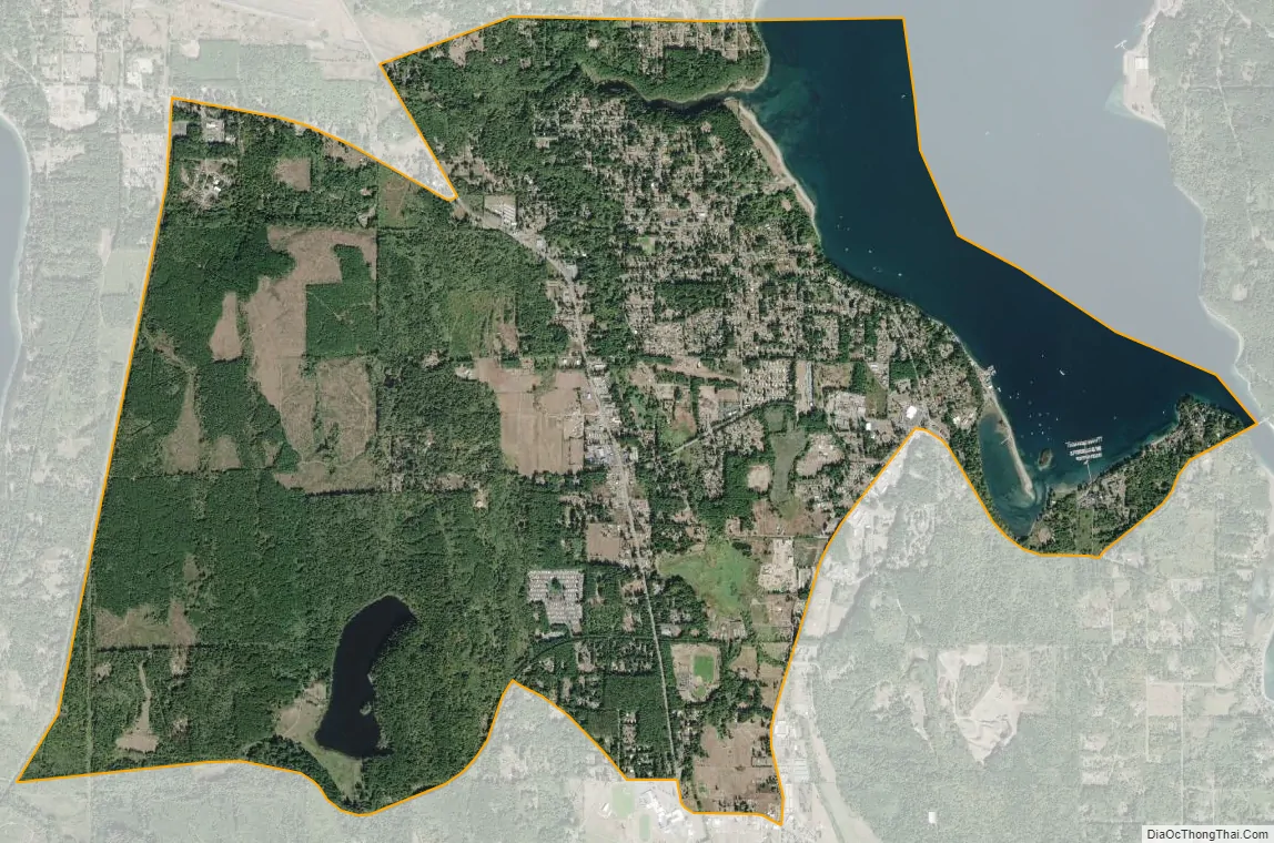
Port Hadlock-Irondale city Satellite Map
Geography
Port Hadlock-Irondale is located in northeastern Jefferson County at 48°2′12″N 122°46′30″W / 48.03667°N 122.77500°W / 48.03667; -122.77500 (48.036614, -122.774938), on the Quimper Peninsula, an arm of the northeast corner of the Olympic Peninsula. The CDP includes the communities of Port Hadlock and Irondale, plus part of Chimacum, all of which form what is locally known as the “tri-area”. Irondale is in the northeast corner of the CDP, and Port Hadlock is adjacent to it in the east part of the CDP; both communities abut Port Townsend Bay. Chimacum is on the southern edge of the CDP, in the Chimacum Valley at the intersection of Washington State Route 19 and Chimacum Road. The CDP extends to the west to within 0.5 miles (0.8 km) of Discovery Bay.
The community is 8 miles (13 km) south of Port Townsend and 18 miles (29 km) north of Port Gamble. According to the United States Census Bureau, the CDP has a total area of 7.8 square miles (20.1 km), of which 6.7 square miles (17.3 km) are land and 1.1 square miles (2.8 km), or 13.77%, are water.
See also
Map of Washington State and its subdivision:- Adams
- Asotin
- Benton
- Chelan
- Clallam
- Clark
- Columbia
- Cowlitz
- Douglas
- Ferry
- Franklin
- Garfield
- Grant
- Grays Harbor
- Island
- Jefferson
- King
- Kitsap
- Kittitas
- Klickitat
- Lewis
- Lincoln
- Mason
- Okanogan
- Pacific
- Pend Oreille
- Pierce
- San Juan
- Skagit
- Skamania
- Snohomish
- Spokane
- Stevens
- Thurston
- Wahkiakum
- Walla Walla
- Whatcom
- Whitman
- Yakima
- Alabama
- Alaska
- Arizona
- Arkansas
- California
- Colorado
- Connecticut
- Delaware
- District of Columbia
- Florida
- Georgia
- Hawaii
- Idaho
- Illinois
- Indiana
- Iowa
- Kansas
- Kentucky
- Louisiana
- Maine
- Maryland
- Massachusetts
- Michigan
- Minnesota
- Mississippi
- Missouri
- Montana
- Nebraska
- Nevada
- New Hampshire
- New Jersey
- New Mexico
- New York
- North Carolina
- North Dakota
- Ohio
- Oklahoma
- Oregon
- Pennsylvania
- Rhode Island
- South Carolina
- South Dakota
- Tennessee
- Texas
- Utah
- Vermont
- Virginia
- Washington
- West Virginia
- Wisconsin
- Wyoming