Poulsbo (/ˈpɔːlzboʊ/ PAWLZ-boh) is a city on Liberty Bay in Kitsap County, Washington, United States. It is the smallest of the four cities in Kitsap County. The population was 9,200 at the 2010 census and an estimated 10,927 in 2018.
The area was historically inhabited by the Suquamish people, many of whom moved to the Port Madison Indian Reservation after the signing of the Treaty of Point Elliott in 1855. Poulsbo was founded in the 1880s by Norwegian immigrant Jørgen Eliason, who was joined by other Scandinavians who relocated from the Midwestern states. They were drawn here by the availability of land, by the area’s rich resources, and by a landscape similar to their native home. The settlement was connected by boats to other areas of the region, including the Puget Sound mosquito fleet, which was eventually usurped by highways built in the early 20th century.
Modern-day downtown Poulsbo maintains a Scandinavian theme to honor its early immigrant history and is a popular regional tourist destination. One of its local products, Poulsbo Bread, is made locally at Sluys Bakery and used to be sold internationally. Many visitors arrive by boat; there are three marinas near the town, and the town’s harbor is an excellent anchorage.
| Name: | Poulsbo city |
|---|---|
| LSAD Code: | 25 |
| LSAD Description: | city (suffix) |
| State: | Washington |
| County: | Kitsap County |
| Elevation: | 30 ft (9 m) |
| Total Area: | 5.37 sq mi (13.91 km²) |
| Land Area: | 4.74 sq mi (12.27 km²) |
| Water Area: | 0.63 sq mi (1.64 km²) |
| Total Population: | 11,275 |
| Population Density: | 2,528/sq mi (910.20/km²) |
| ZIP code: | 98370 |
| Area code: | 360 |
| FIPS code: | 5355995 |
| GNISfeature ID: | 1507605 |
| Website: | www.cityofpoulsbo.com |
Online Interactive Map
Click on ![]() to view map in "full screen" mode.
to view map in "full screen" mode.
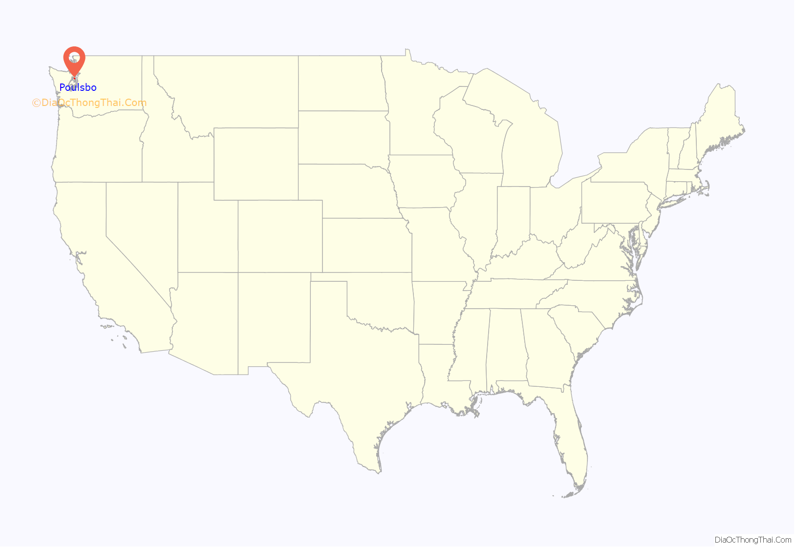
Poulsbo location map. Where is Poulsbo city?
History
The Suquamish people inhabited the area at the north end of Liberty Bay for millennia and had several names for modern-day Poulsbo; one of those names, tcu-tcu-lats, means “place of the maples”. The Suquamish occupied villages on the Liberty Bay shoreline — among them, ho-CHEEB — for at least 5,000 years, hunted in local forests and floodplains, fished in bays and streams here, and harvested shellfish along the shoreline.
After the signing of the Treaty of Point Elliott in 1855, most Suquamish people here relocated to the Port Madison Indian Reservation.
Founded by Norwegian immigrant Jørgen Eliason in the 1880s, Poulsbo was settled in its early years by a large number of Norwegian and other Scandinavian immigrants because of its similarities to their native countries. In 1886, Iver Brynildsen Moe, one of the early Norwegian settlers, suggested that the community should have a post office. Moe suggested the town be named “Paulsbo”, his hometown in Halden, Norway. The community’s petition for a post office was granted and Moe became the first postmaster, but authorities in Washington, D.C. misspelled the town’s name, likely misreading Moe’s handwriting, and the community became known as “Poulsbo” thereafter. Poulsbo was incorporated on December 18, 1907.
Until World War II, many Poulsbo residents retained Norwegian as a primary language. However, during World War II, the military constructed about 300 residential units to provide housing for workers at the nearby Puget Sound Naval Shipyard in Bremerton. The population of Poulsbo almost tripled over three years, and the diversification of the population led to the dominance of English as the primary language.
On October 22, 1975, King Olav V of Norway visited Poulsbo as part of the celebration of 150 years of Norwegian immigration to the United States. His son, Harald, visited 20 years later.
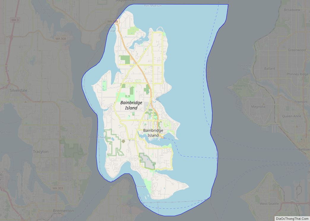
Poulsbo Road Map
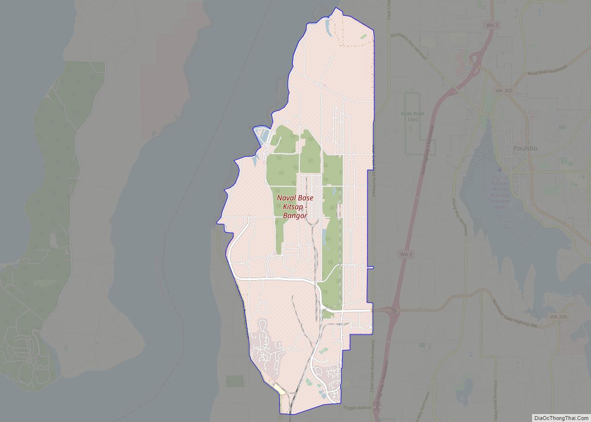
Poulsbo city Satellite Map
Geography
Topography
Poulsbo is located in northern Kitsap County at 47°44′21″N 122°38′21″W / 47.739137°N 122.639278°W / 47.739137; -122.639278 (47.739137, -122.639278), at the north end of Liberty Bay, a sheltered arm of Puget Sound. Washington State Route 305 has its northwestern terminus in the northern part of the town at State Route 3 and leads southeast 13 miles (21 km) to the ferry docks at Bainbridge Island. SR 3 leads north 9 miles (14 km) to Port Gamble and south 16 miles (26 km) to the western part of Bremerton.
According to the United States Census Bureau, Poulsbo has a total area of 5.27 square miles (13.65 km), of which 4.67 square miles (12.10 km) are land and 0.60 square miles (1.55 km), or 11.43%, are water.
Surrounding municipalities
Climate
See also
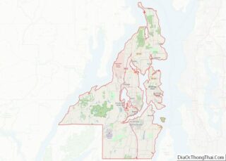
Map of Washington State and its subdivision:- Adams
- Asotin
- Benton
- Chelan
- Clallam
- Clark
- Columbia
- Cowlitz
- Douglas
- Ferry
- Franklin
- Garfield
- Grant
- Grays Harbor
- Island
- Jefferson
- King
- Kitsap
- Kittitas
- Klickitat
- Lewis
- Lincoln
- Mason
- Okanogan
- Pacific
- Pend Oreille
- Pierce
- San Juan
- Skagit
- Skamania
- Snohomish
- Spokane
- Stevens
- Thurston
- Wahkiakum
- Walla Walla
- Whatcom
- Whitman
- Yakima
- Alabama
- Alaska
- Arizona
- Arkansas
- California
- Colorado
- Connecticut
- Delaware
- District of Columbia
- Florida
- Georgia
- Hawaii
- Idaho
- Illinois
- Indiana
- Iowa
- Kansas
- Kentucky
- Louisiana
- Maine
- Maryland
- Massachusetts
- Michigan
- Minnesota
- Mississippi
- Missouri
- Montana
- Nebraska
- Nevada
- New Hampshire
- New Jersey
- New Mexico
- New York
- North Carolina
- North Dakota
- Ohio
- Oklahoma
- Oregon
- Pennsylvania
- Rhode Island
- South Carolina
- South Dakota
- Tennessee
- Texas
- Utah
- Vermont
- Virginia
- Washington
- West Virginia
- Wisconsin
- Wyoming
