Queets is an unincorporated community and census-designated place (CDP) in Grays Harbor and Jefferson counties, Washington, United States. The population was 174 at the 2010 census. The primary residents of the community are Native Americans of the Quinault Indian Nation.
| Name: | Queets CDP |
|---|---|
| LSAD Code: | 57 |
| LSAD Description: | CDP (suffix) |
| State: | Washington |
| County: | Grays Harbor County, Jefferson County |
| Elevation: | 30 ft (9 m) |
| Total Area: | 1.4 sq mi (3.7 km²) |
| Land Area: | 1.4 sq mi (3.6 km²) |
| Water Area: | 0.0 sq mi (0.0 km²) |
| Total Population: | 174 |
| Population Density: | 125/sq mi (48.3/km²) |
| ZIP code: | 98331 |
| FIPS code: | 5356905 |
| GNISfeature ID: | 1524759 |
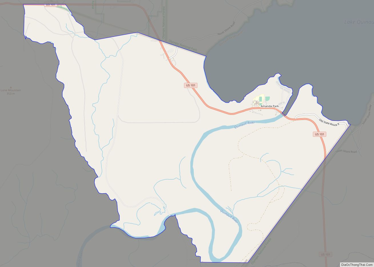
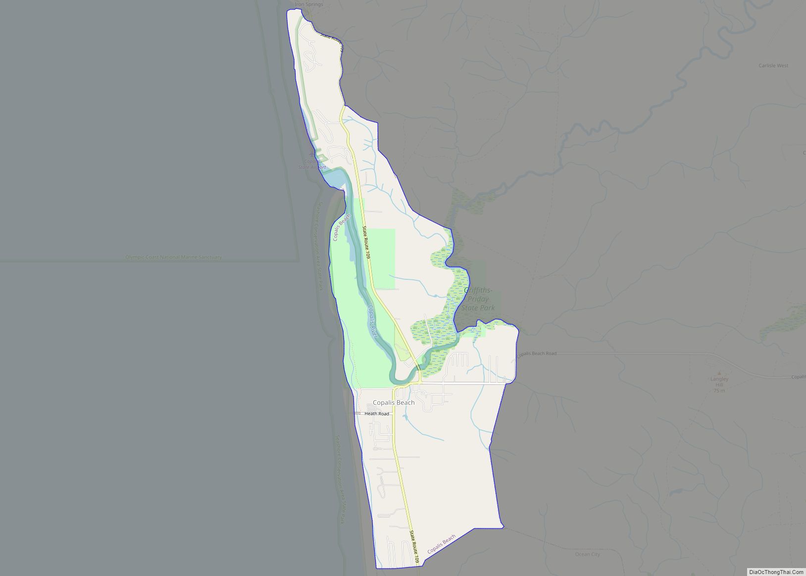
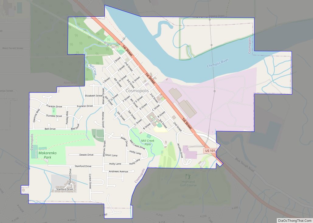
Online Interactive Map
Click on ![]() to view map in "full screen" mode.
to view map in "full screen" mode.
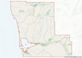
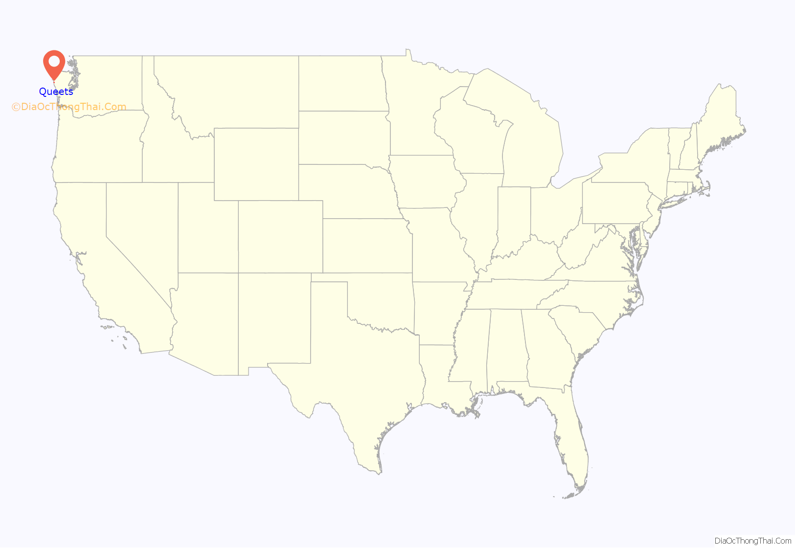
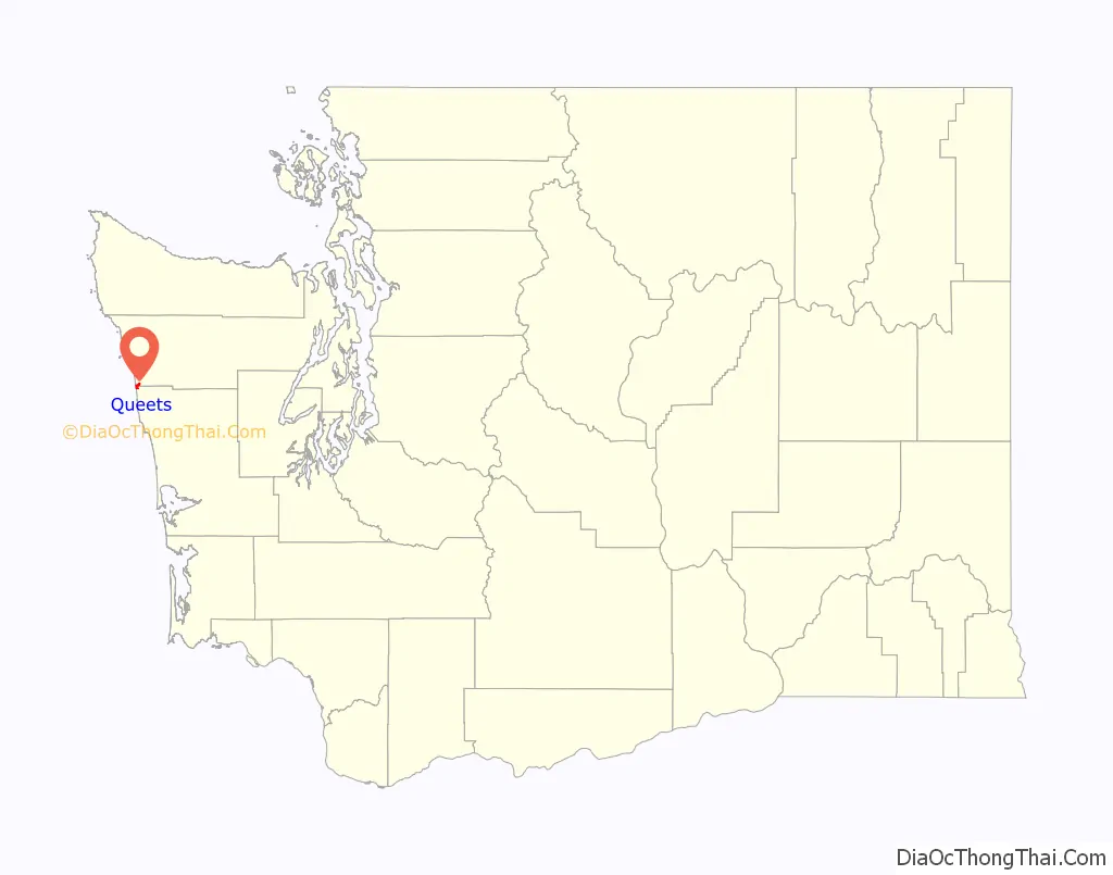
Queets location map. Where is Queets CDP?
History
The post office at Queets was established July 13, 1880, and discontinued July 31, 1934, with mail being sent to Clearwater, approximately 8 miles (13 km) away.
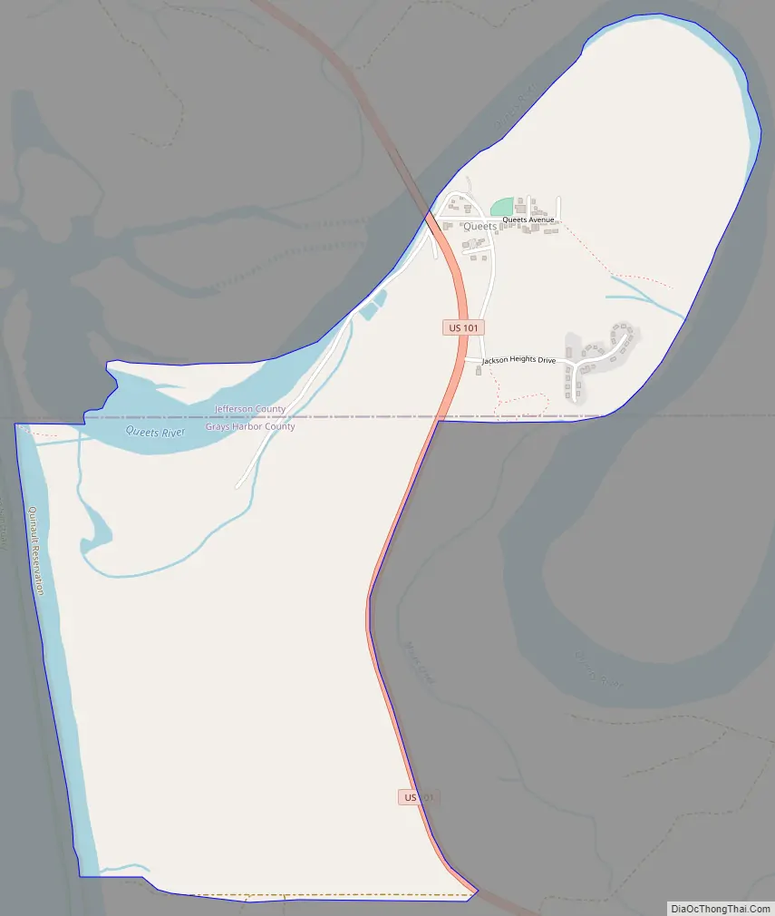
Queets Road Map
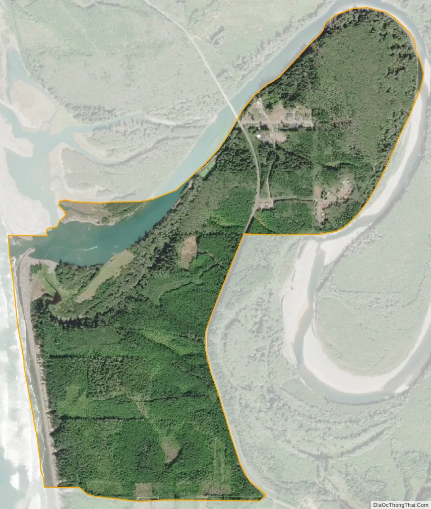
Queets city Satellite Map
Geography
It is near the coast of the Pacific Ocean along the Queets River at the northern edge of the Quinault Indian Reservation. Queets now consists of several homes, a store, gas station, fisheries, daycare, Head Start, and a remote office for the Quinault Nation. Other local attractions include the Pacific beach hiking trails, Olympic National Park, and Olympic National Forest.
U.S. Route 101 passes through Queets, crossing the Queets River at the northern edge of the community. US 101 leads north 5 miles (8 km) to Kalaloch Beach and 39 miles (63 km) to Forks, site of the nearest airport. Southbound US 101 leads east 25 miles (40 km) to Amanda Park and southeast 68 miles (109 km) to Aberdeen.
According to the United States Census Bureau, the Queets CDP has a total area of 1.4 square miles (3.7 km), of which 1.4 square miles (3.6 km) are land and 0.04 square miles (0.1 km), or 3.45%, are water.
See also
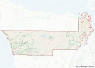
Map of Washington State and its subdivision:- Adams
- Asotin
- Benton
- Chelan
- Clallam
- Clark
- Columbia
- Cowlitz
- Douglas
- Ferry
- Franklin
- Garfield
- Grant
- Grays Harbor
- Island
- Jefferson
- King
- Kitsap
- Kittitas
- Klickitat
- Lewis
- Lincoln
- Mason
- Okanogan
- Pacific
- Pend Oreille
- Pierce
- San Juan
- Skagit
- Skamania
- Snohomish
- Spokane
- Stevens
- Thurston
- Wahkiakum
- Walla Walla
- Whatcom
- Whitman
- Yakima
- Alabama
- Alaska
- Arizona
- Arkansas
- California
- Colorado
- Connecticut
- Delaware
- District of Columbia
- Florida
- Georgia
- Hawaii
- Idaho
- Illinois
- Indiana
- Iowa
- Kansas
- Kentucky
- Louisiana
- Maine
- Maryland
- Massachusetts
- Michigan
- Minnesota
- Mississippi
- Missouri
- Montana
- Nebraska
- Nevada
- New Hampshire
- New Jersey
- New Mexico
- New York
- North Carolina
- North Dakota
- Ohio
- Oklahoma
- Oregon
- Pennsylvania
- Rhode Island
- South Carolina
- South Dakota
- Tennessee
- Texas
- Utah
- Vermont
- Virginia
- Washington
- West Virginia
- Wisconsin
- Wyoming