Quilcene is an unincorporated community and census-designated place (CDP) in Jefferson County, Washington, United States. The population was 596 at the 2010 census.
The community is located on the Olympic Peninsula at the head of Quilcene Bay, an arm of the seawater-filled glacial valley of Hood Canal. Each year many visitors enjoy the panoramic views of Mount Rainier, Puget Sound and Seattle from the 2,804-foot (855 m) summit of nearby Mount Walker, the only peak facing Puget Sound that has a road to its summit. The Olympic National Forest lands in Quilcene hold Douglas fir, spring-blooming Pacific rhododendrons, Oregon grape, and salal. Leland Lake is located north of Quilcene.
Quilcene oysters are named after the community. Quilcene has one of the largest oyster hatcheries in the world.
| Name: | Quilcene CDP |
|---|---|
| LSAD Code: | 57 |
| LSAD Description: | CDP (suffix) |
| State: | Washington |
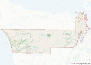
| County: | Jefferson County |
| Elevation: | 43 ft (13 m) |
| Total Area: | 9.2 sq mi (23.8 km²) |
| Land Area: | 8.8 sq mi (22.8 km²) |
| Water Area: | 0.4 sq mi (1.0 km²) |
| Total Population: | 596 |
| Population Density: | 68/sq mi (26.1/km²) |
| ZIP code: | 98376 |
| Area code: | 360 |
| FIPS code: | 5356975 |
| GNISfeature ID: | 1524768 |
Online Interactive Map
Click on ![]() to view map in "full screen" mode.
to view map in "full screen" mode.
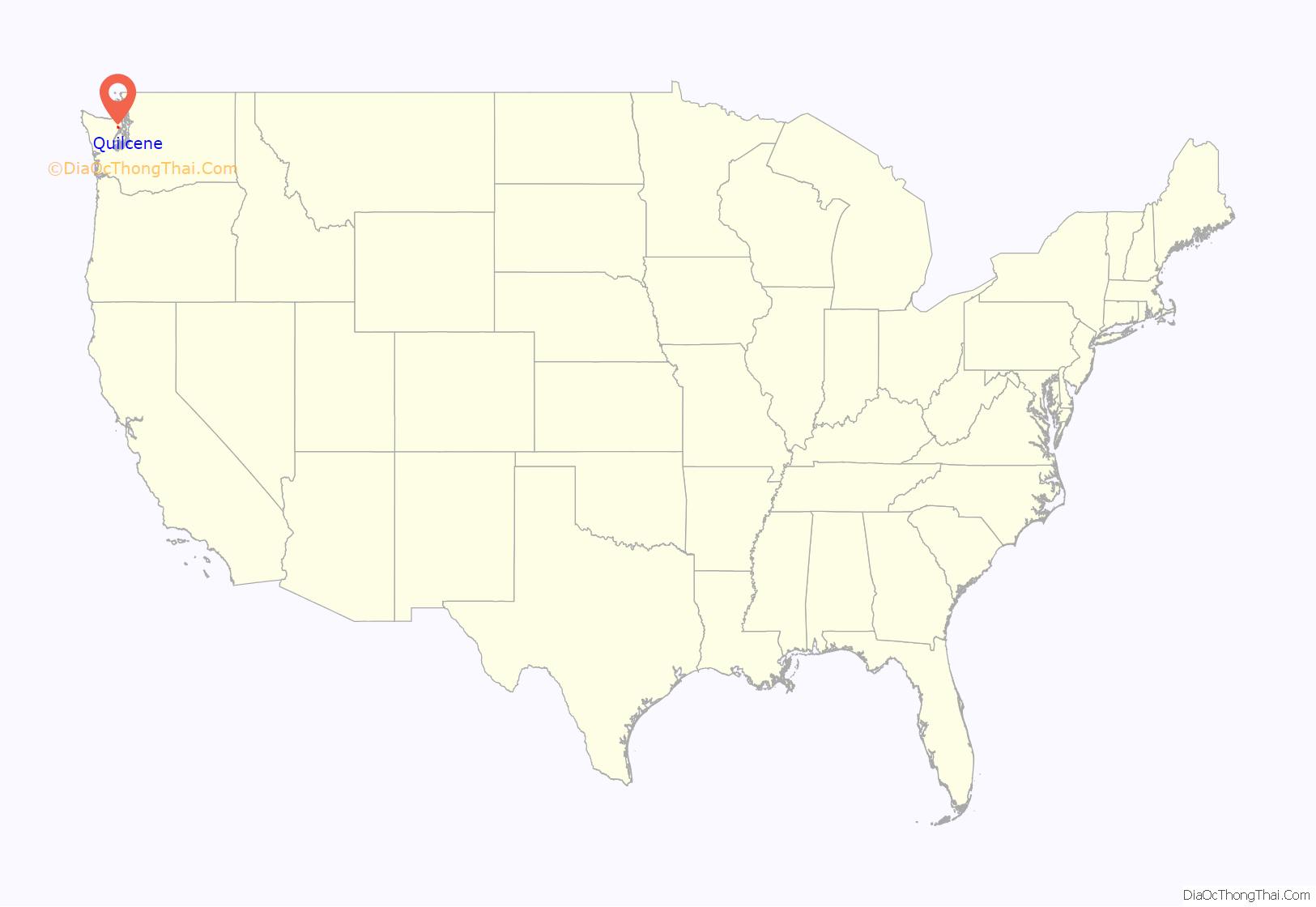
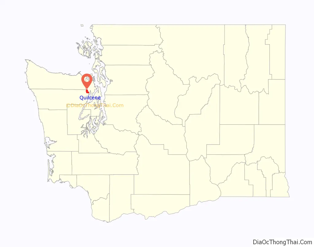
Quilcene location map. Where is Quilcene CDP?
History
Early inhabitants of the area were the Twana people, inhabiting the length of Hood Canal, and rarely invading other tribes. The name “Quilcene” comes from the Twana word /qʷəʔlsíd/, referring to a tribal group and the name of an aboriginal Twana village and community on Quilcene Bay. The Quilcene (“salt-water people”) were a distinct band of these people.
The Wilkes Expedition charted the place as “Kwil-sid” in 1841. Hampden Cottle, a logger from Maine, and several other families settled there in 1860 and eventually established a town. The town was originally situated on the banks of the Quilcene River, before being moved to higher ground. The economy in Quilcene was based primarily on farming and logging, and by 1880 the town had a population of 53.
The Tubal Cain Mining Company in 1902 claimed that Quilcene would become the center for the smelting of iron, copper, gold, and manganese that was expected to be found in the Olympic Mountains; however, little ore was ever discovered.
Circa 1910, Green’s Shingle Mill was a large part of Quilcene’s history.
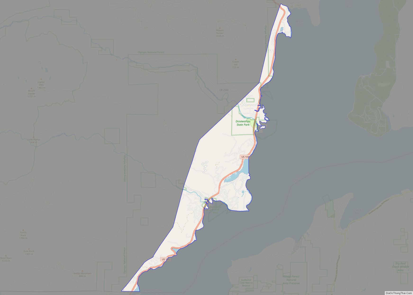
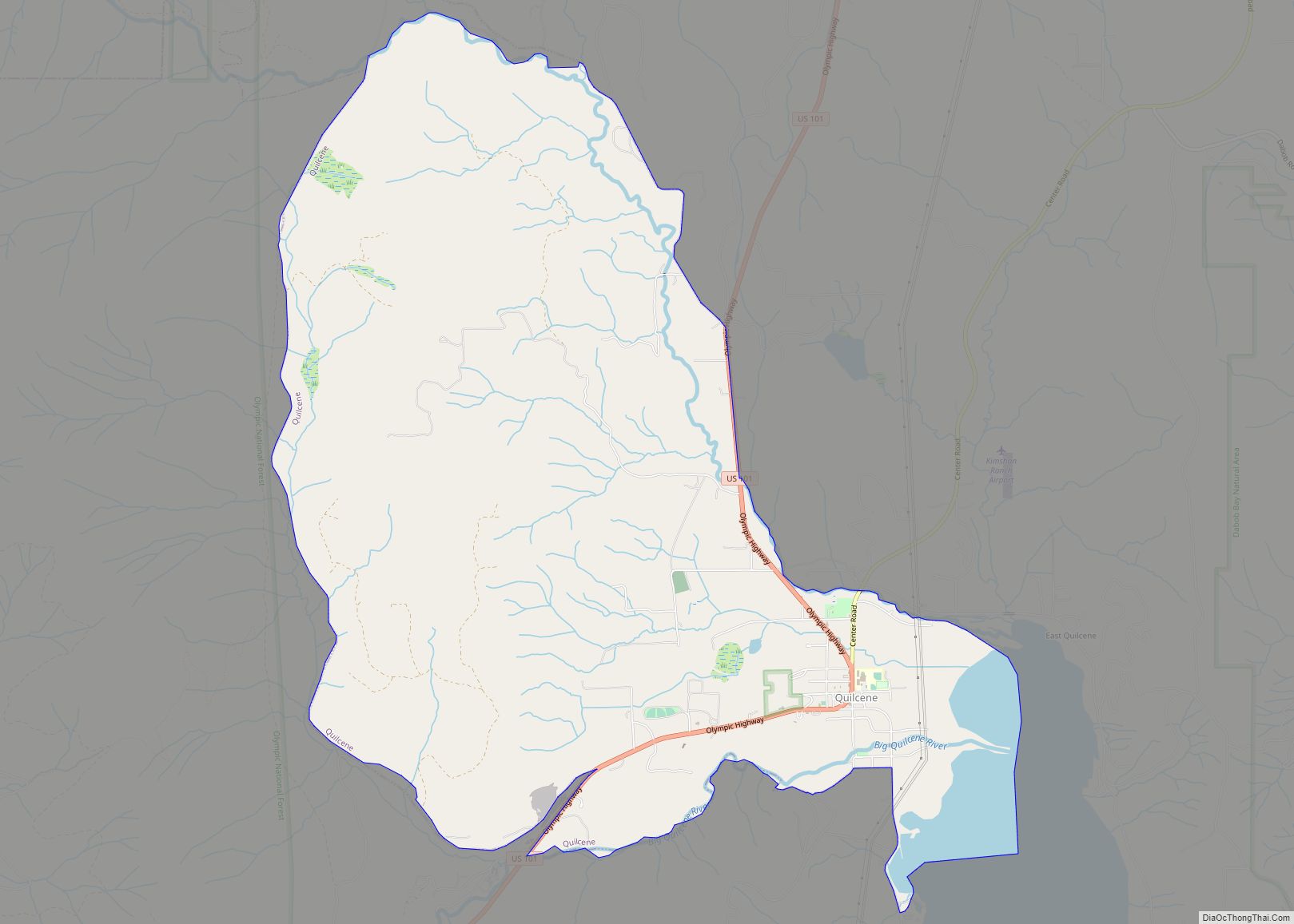
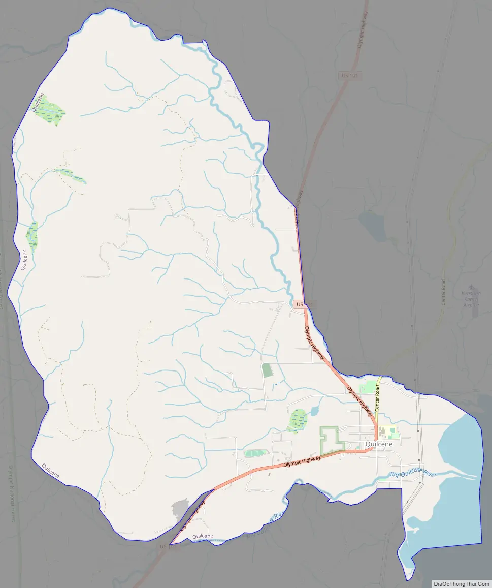
Quilcene Road Map
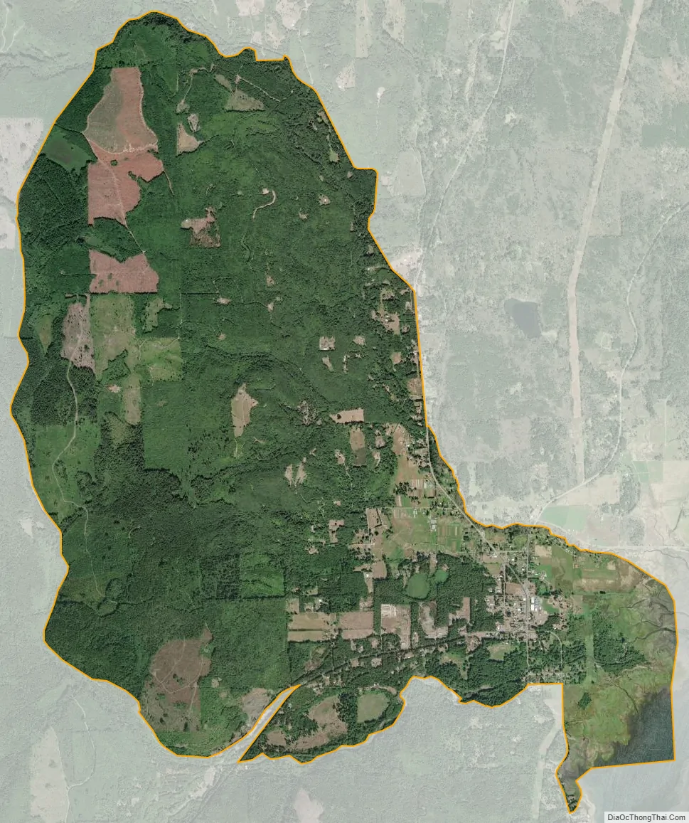
Quilcene city Satellite Map
Geography
Quilcene is located in eastern Jefferson County at 47°49′55″N 122°53′7″W / 47.83194°N 122.88528°W / 47.83194; -122.88528 (47.831838, -122.885339), at the north end of Quilcene Bay, an arm of Dabob Bay, which extends north from Hood Canal. The Big Quilcene River forms the southern edge of the community, and the Little Quilcene River forms the northeastern edge; both arise in the Olympic Mountains to the west and flow past the town into Quilcene Bay.
According to the United States Census Bureau, the CDP has a total area of 9.2 square miles (23.8 km), of which 8.8 square miles (22.8 km) are land and 0.4 square miles (1.0 km), or 4.25%, are water.
The Olympic National Forest is west and south of the community. The 2,804-foot (855 m) summit of Mount Walker, 2 miles (3 km) southwest of the CDP, offers views of Mount Jupiter, Buckhorn Mountain, Mount Constance, Mount Baker and the town of Quilcene.
At the southwest edge of the Quilcene CDP, at the union of the Big Quilcene River and Penny Creek, the Quilcene National Fish Hatchery has been operating since 1911. There, the US Fish and Wildlife Service raises coho salmon for on-station release and provides coho salmon eggs and fingerlings for tribal programs.
Climate
Quilcene experiences an oceanic climate (Köppen climate classification Cfb) and is almost categorised as part of the Csb climate category, receiving slightly more than 30 mm (1.2 in), the threshold for Cfb inclusion.
See also
Map of Washington State and its subdivision:- Adams
- Asotin
- Benton
- Chelan
- Clallam
- Clark
- Columbia
- Cowlitz
- Douglas
- Ferry
- Franklin
- Garfield
- Grant
- Grays Harbor
- Island
- Jefferson
- King
- Kitsap
- Kittitas
- Klickitat
- Lewis
- Lincoln
- Mason
- Okanogan
- Pacific
- Pend Oreille
- Pierce
- San Juan
- Skagit
- Skamania
- Snohomish
- Spokane
- Stevens
- Thurston
- Wahkiakum
- Walla Walla
- Whatcom
- Whitman
- Yakima
- Alabama
- Alaska
- Arizona
- Arkansas
- California
- Colorado
- Connecticut
- Delaware
- District of Columbia
- Florida
- Georgia
- Hawaii
- Idaho
- Illinois
- Indiana
- Iowa
- Kansas
- Kentucky
- Louisiana
- Maine
- Maryland
- Massachusetts
- Michigan
- Minnesota
- Mississippi
- Missouri
- Montana
- Nebraska
- Nevada
- New Hampshire
- New Jersey
- New Mexico
- New York
- North Carolina
- North Dakota
- Ohio
- Oklahoma
- Oregon
- Pennsylvania
- Rhode Island
- South Carolina
- South Dakota
- Tennessee
- Texas
- Utah
- Vermont
- Virginia
- Washington
- West Virginia
- Wisconsin
- Wyoming