Riverbend is an unincorporated community and census-designated place (CDP) in King County, Washington, United States. The population was 2,132 at the 2010 census.
Based on per capita income, one of the more reliable measures of affluence, Riverbend ranks 87th of 522 areas in the state of Washington to be ranked.
| Name: | Riverbend CDP |
|---|---|
| LSAD Code: | 57 |
| LSAD Description: | CDP (suffix) |
| State: | Washington |
| County: | King County |
| Elevation: | 509 ft (155 m) |
| Total Area: | 3.01 sq mi (7.80 km²) |
| Land Area: | 2.94 sq mi (7.62 km²) |
| Water Area: | 0.07 sq mi (0.19 km²) |
| Total Population: | 2,132 |
| Population Density: | 725/sq mi (280.0/km²) |
| FIPS code: | 5358742 |
| GNISfeature ID: | 1852956 |
Online Interactive Map
Click on ![]() to view map in "full screen" mode.
to view map in "full screen" mode.
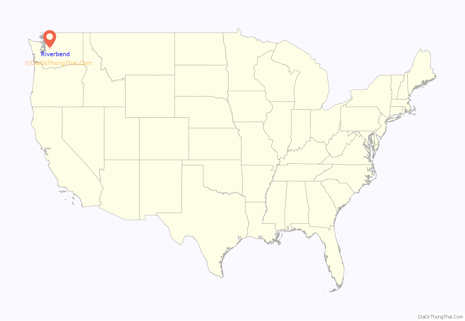
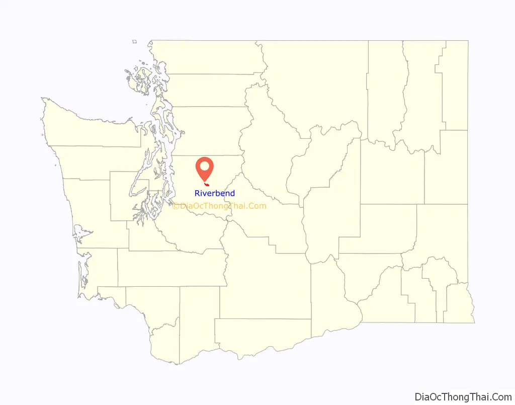
Riverbend location map. Where is Riverbend CDP?
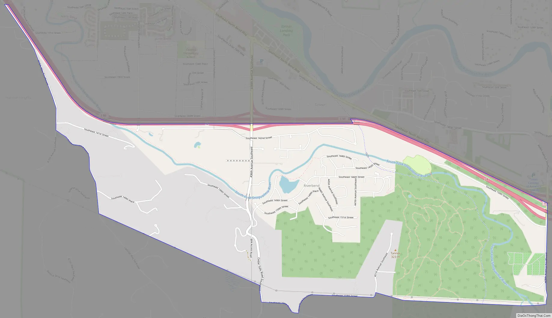
Riverbend Road Map
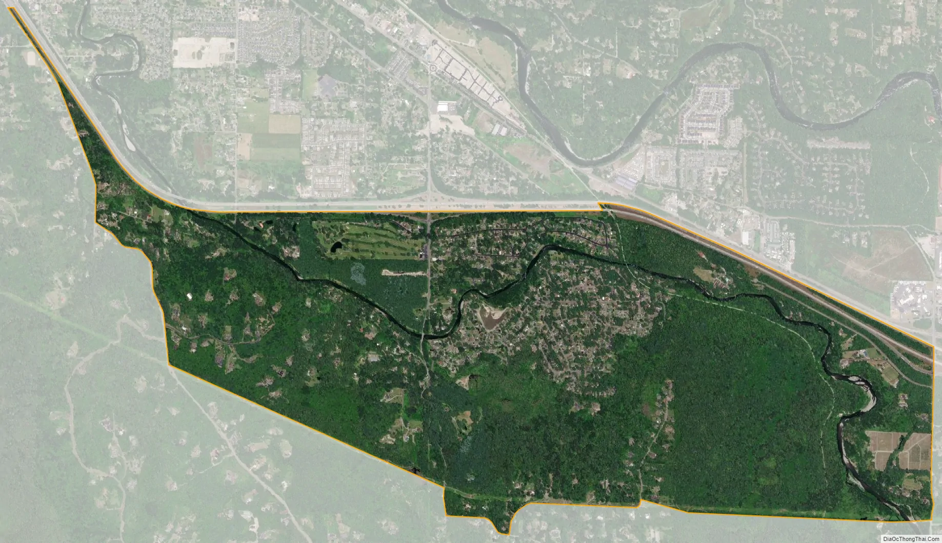
Riverbend city Satellite Map
Geography
Riverbend is located in east-central King County at 47°28′11″N 121°45′15″W / 47.46972°N 121.75417°W / 47.46972; -121.75417 (47.469614, -121.754279), in the valley of the South Fork of the Snoqualmie River. It is bordered to the north, across Interstate 90, by the city of North Bend. Riverbend is served by Exit 32 on I-90, which leads west 31 miles (50 km) to downtown Seattle and east over Snoqualmie Pass 80 miles (130 km) to Ellensburg.
According to the United States Census Bureau, the CDP has a total area of 3.0 square miles (7.8 km), of which 2.9 square miles (7.6 km) are land and 0.1 square miles (0.2 km), or 2.37%, are water.
See also
Map of Washington State and its subdivision:- Adams
- Asotin
- Benton
- Chelan
- Clallam
- Clark
- Columbia
- Cowlitz
- Douglas
- Ferry
- Franklin
- Garfield
- Grant
- Grays Harbor
- Island
- Jefferson
- King
- Kitsap
- Kittitas
- Klickitat
- Lewis
- Lincoln
- Mason
- Okanogan
- Pacific
- Pend Oreille
- Pierce
- San Juan
- Skagit
- Skamania
- Snohomish
- Spokane
- Stevens
- Thurston
- Wahkiakum
- Walla Walla
- Whatcom
- Whitman
- Yakima
- Alabama
- Alaska
- Arizona
- Arkansas
- California
- Colorado
- Connecticut
- Delaware
- District of Columbia
- Florida
- Georgia
- Hawaii
- Idaho
- Illinois
- Indiana
- Iowa
- Kansas
- Kentucky
- Louisiana
- Maine
- Maryland
- Massachusetts
- Michigan
- Minnesota
- Mississippi
- Missouri
- Montana
- Nebraska
- Nevada
- New Hampshire
- New Jersey
- New Mexico
- New York
- North Carolina
- North Dakota
- Ohio
- Oklahoma
- Oregon
- Pennsylvania
- Rhode Island
- South Carolina
- South Dakota
- Tennessee
- Texas
- Utah
- Vermont
- Virginia
- Washington
- West Virginia
- Wisconsin
- Wyoming


