Sammamish (/səˈmæmɪʃ/ sə-MAM-ish) is a city in King County, Washington, United States. The population was 67,455 at the 2020 census. Located on a plateau, the city is bordered by Lake Sammamish to the west and the Snoqualmie Valley to the east. Sammamish is situated 20 miles east of Seattle, is a member of the Eastside, and is a part of the Seattle metropolitan area.
| Name: | Sammamish city |
|---|---|
| LSAD Code: | 25 |
| LSAD Description: | city (suffix) |
| State: | Washington |
| County: | King County |
| Incorporated: | August 31, 1999 |
| Elevation: | 540 ft (165 m) |
| Total Area: | 24.03 sq mi (62.25 km²) |
| Land Area: | 20.42 sq mi (52.90 km²) |
| Water Area: | 3.61 sq mi (9.35 km²) |
| Total Population: | 67,455 |
| Population Density: | 2,800/sq mi (1,100/km²) |
| ZIP code: | 98074-98075, 98029 |
| Area code: | 425 |
| FIPS code: | 5361115 |
| GNISfeature ID: | 1508071 |
| Website: | www.sammamish.us |
Online Interactive Map
Click on ![]() to view map in "full screen" mode.
to view map in "full screen" mode.
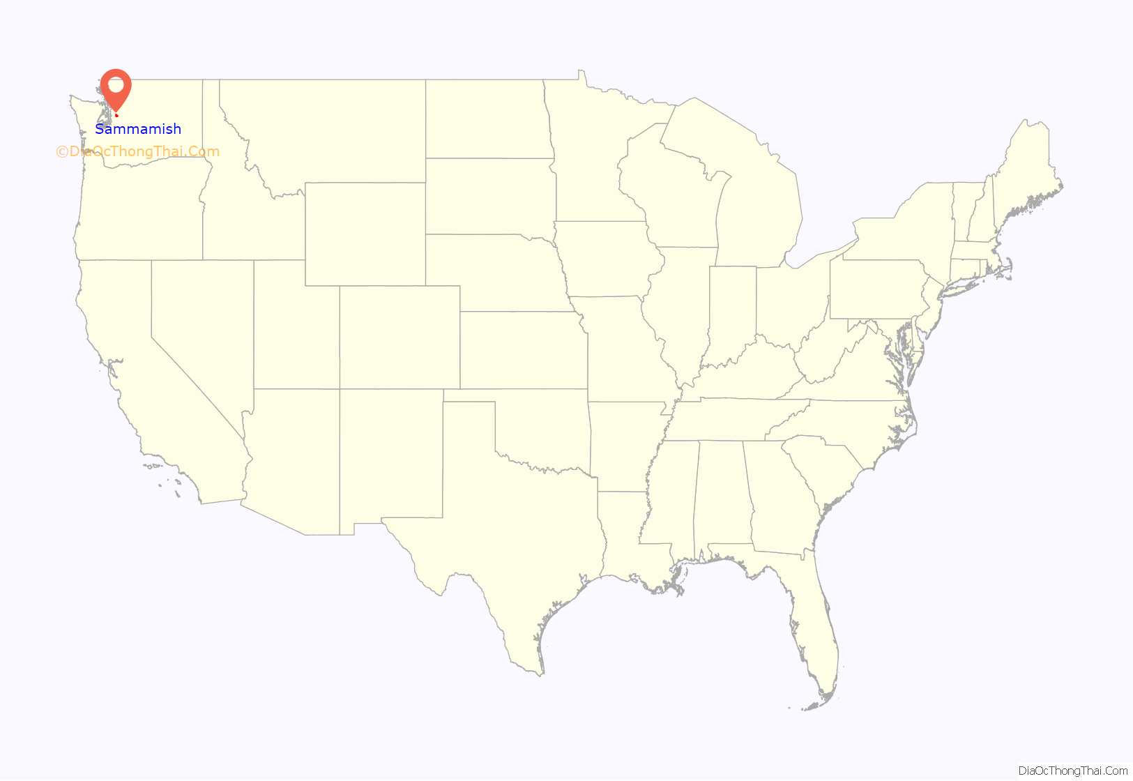
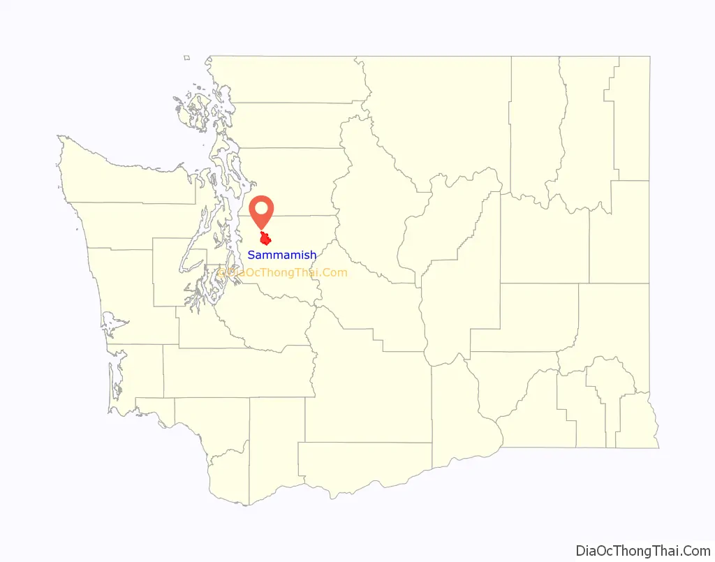
Sammamish location map. Where is Sammamish city?
History
The Sammamish Plateau was part of unincorporated King County for most of its recorded history. The first settlers arrived in the late 19th century and established a trio of resorts by the 1930s. The plateau remained a mostly rural area until suburban homes, shopping centers, and schools were built in the 1970s and 1980s. A vote in 1991 to join neighboring Issaquah failed, as did a vote on incorporation the following year. A renewed movement to become a city, born of frustration with development policies set by the county government, met with voter approval in 1998. Sammamish was officially incorporated on August 31, 1999. The city annexed Klahanie on January 1, 2016.
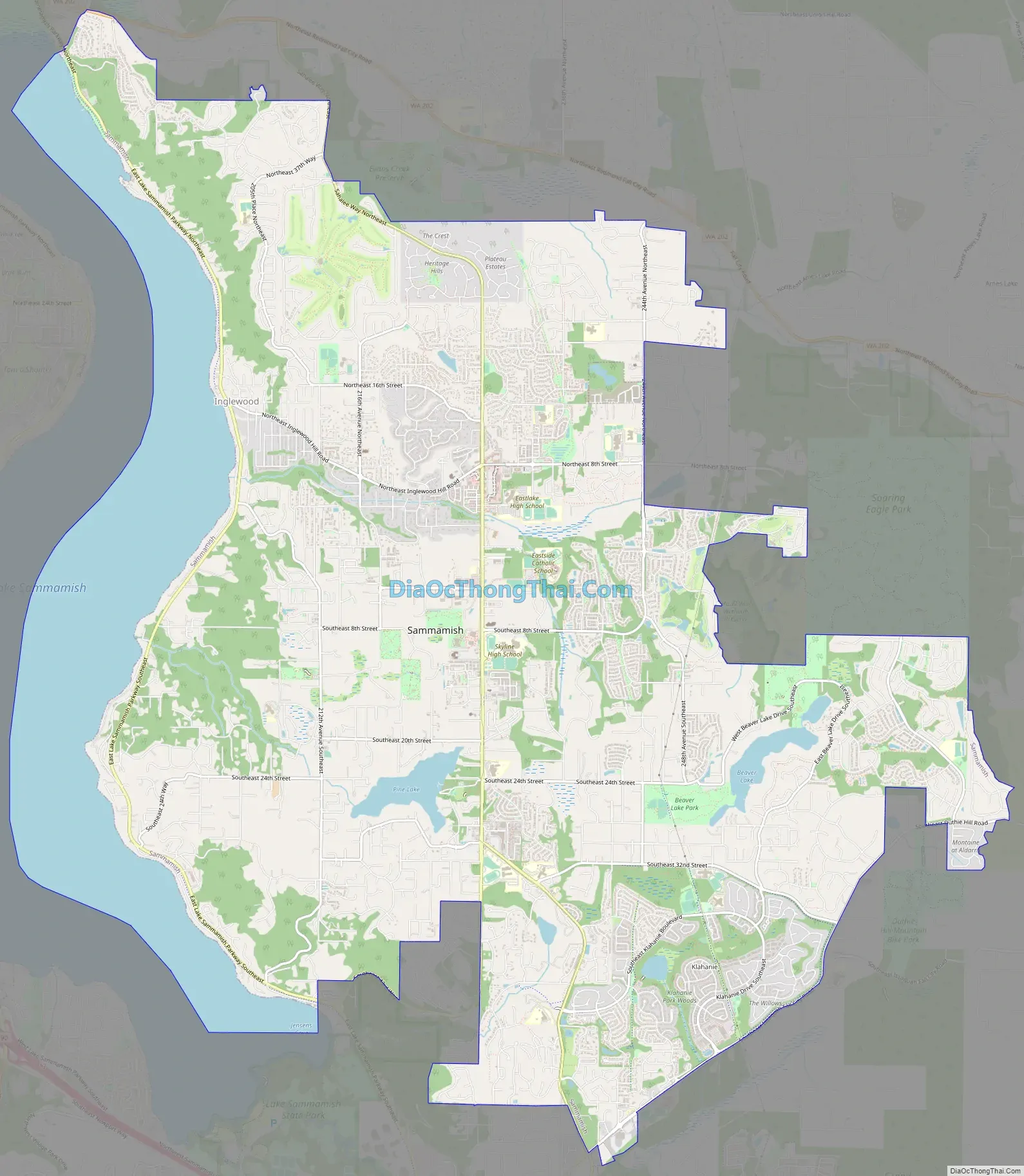
Sammamish Road Map
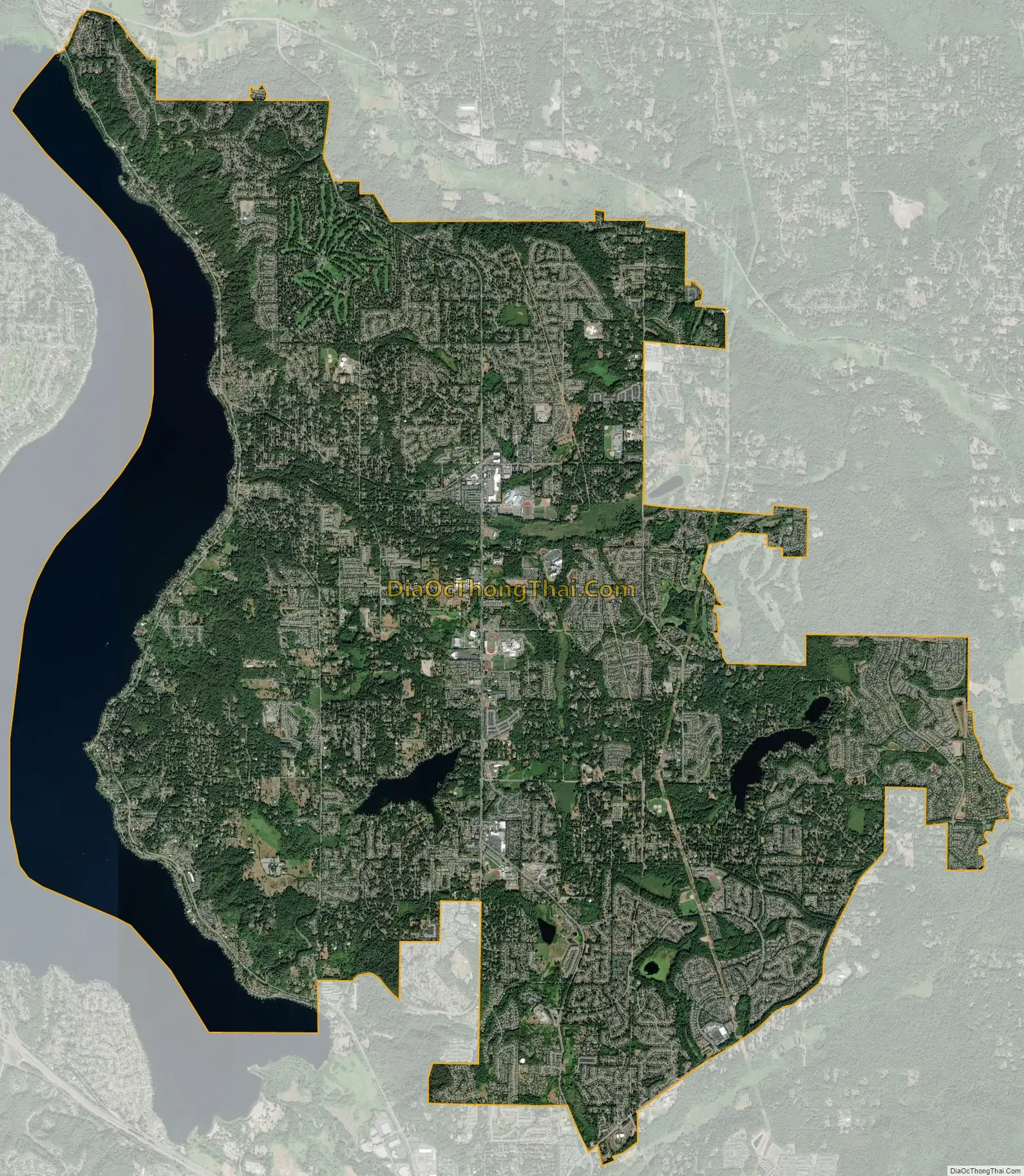
Sammamish city Satellite Map
Geography
According to the United States Census Bureau, the city has a total area of 18.47 square miles (47.84 km), of which 18.22 square miles (47.19 km) are land and 0.25 square miles (0.65 km) are water.
The city is situated on the shores and hilly terrain east of Lake Sammamish. It is bordered to the south by Issaquah, to the northwest by Redmond, and to the west across Lake Sammamish by Bellevue. Beaver Lake and Pine Lake are the two biggest lakes in Sammamish.
Climate
Sammamish has a mild Marine West Coast or oceanic climate. Extremes range from −8 °F (−22 °C) in February 1950, to 113 °F (45 °C) in June 2021.
Surrounding cities
See also
Map of Washington State and its subdivision:- Adams
- Asotin
- Benton
- Chelan
- Clallam
- Clark
- Columbia
- Cowlitz
- Douglas
- Ferry
- Franklin
- Garfield
- Grant
- Grays Harbor
- Island
- Jefferson
- King
- Kitsap
- Kittitas
- Klickitat
- Lewis
- Lincoln
- Mason
- Okanogan
- Pacific
- Pend Oreille
- Pierce
- San Juan
- Skagit
- Skamania
- Snohomish
- Spokane
- Stevens
- Thurston
- Wahkiakum
- Walla Walla
- Whatcom
- Whitman
- Yakima
- Alabama
- Alaska
- Arizona
- Arkansas
- California
- Colorado
- Connecticut
- Delaware
- District of Columbia
- Florida
- Georgia
- Hawaii
- Idaho
- Illinois
- Indiana
- Iowa
- Kansas
- Kentucky
- Louisiana
- Maine
- Maryland
- Massachusetts
- Michigan
- Minnesota
- Mississippi
- Missouri
- Montana
- Nebraska
- Nevada
- New Hampshire
- New Jersey
- New Mexico
- New York
- North Carolina
- North Dakota
- Ohio
- Oklahoma
- Oregon
- Pennsylvania
- Rhode Island
- South Carolina
- South Dakota
- Tennessee
- Texas
- Utah
- Vermont
- Virginia
- Washington
- West Virginia
- Wisconsin
- Wyoming


