Santiago is a census-designated place (CDP) in Grays Harbor County, Washington, United States. The population was 42 at the 2010 census.
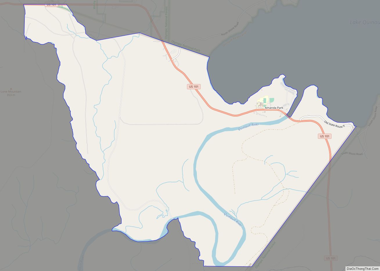
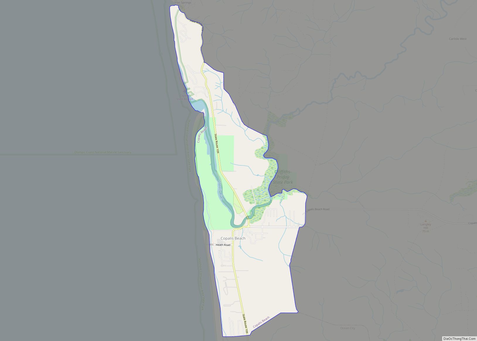
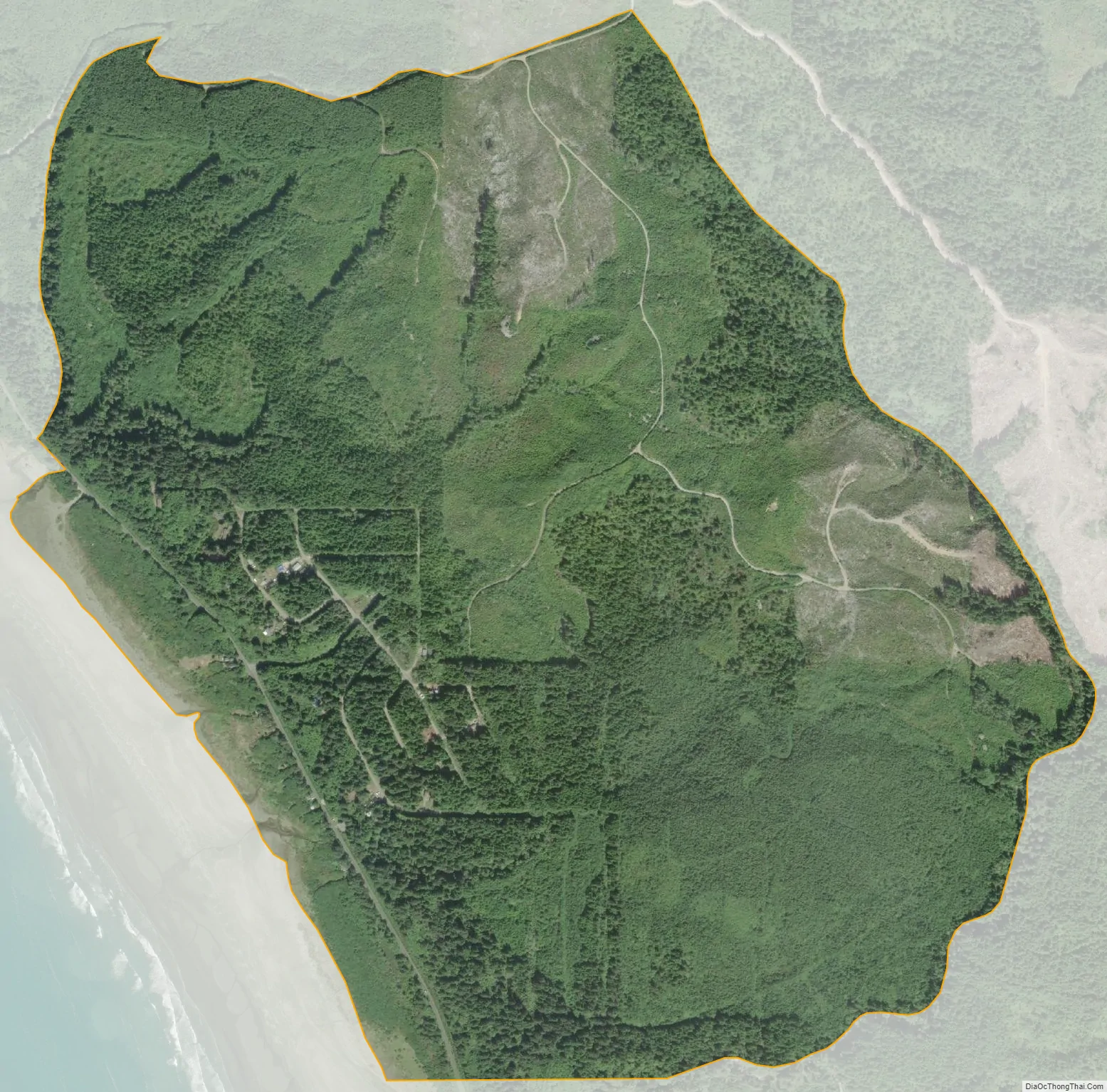
The community is in the Quinault Indian Nation in western Grays Harbor County, along State Route 109, next to the Pacific Ocean. SR 109 leads north 5 miles (8 km) to its northern terminus at Taholah and south 5 miles (8 km) to Moclips. Point Grenville, a 120-foot-high (37 m) cliff rising from the ocean, is 2.5 miles (4.0 km) north of Santiago and is the site of the Quinault Nations’ Haynisisoos Park. The Copalis National Wildlife Refuge occupies the ocean and rocks seaward from the coastline along Santiago and environs.
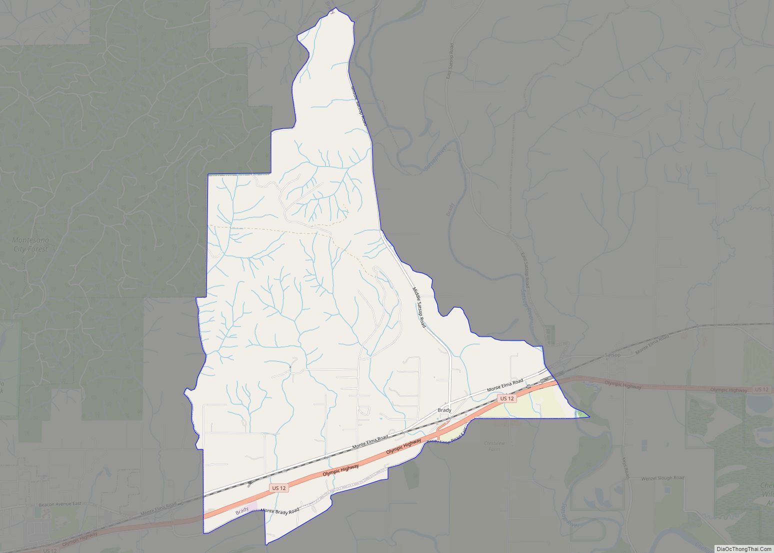
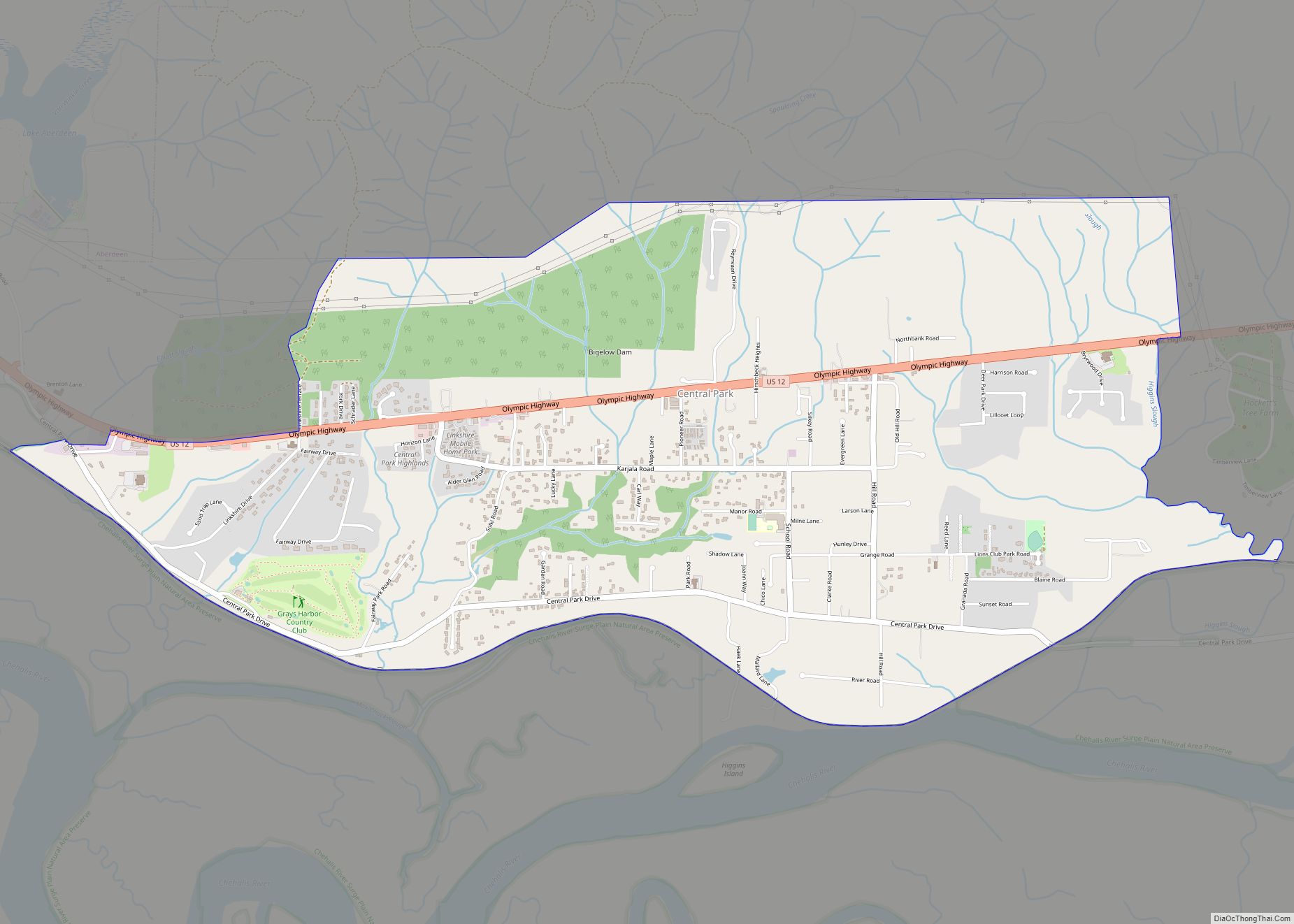
According to the U.S. Census Bureau, the Santiago CDP has an area of 1.57 square miles (4.06 km), all of it land.
| Name: | Santiago CDP |
|---|---|
| LSAD Code: | 57 |
| LSAD Description: | CDP (suffix) |
| State: | Washington |
| County: | Grays Harbor County |
| Elevation: | 130 ft (40 m) |
| Total Area: | 1.57 sq mi (4.06 km²) |
| Land Area: | 1.57 sq mi (4.06 km²) |
| Water Area: | 0.0 sq mi (0.0 km²) |
| Total Population: | 42 |
| Population Density: | 27/sq mi (10.3/km²) |
| Area code: | 360 |
| FIPS code: | 5361235 |
| GNISfeature ID: | 2585033 |
Online Interactive Map
Click on ![]() to view map in "full screen" mode.
to view map in "full screen" mode.
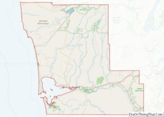
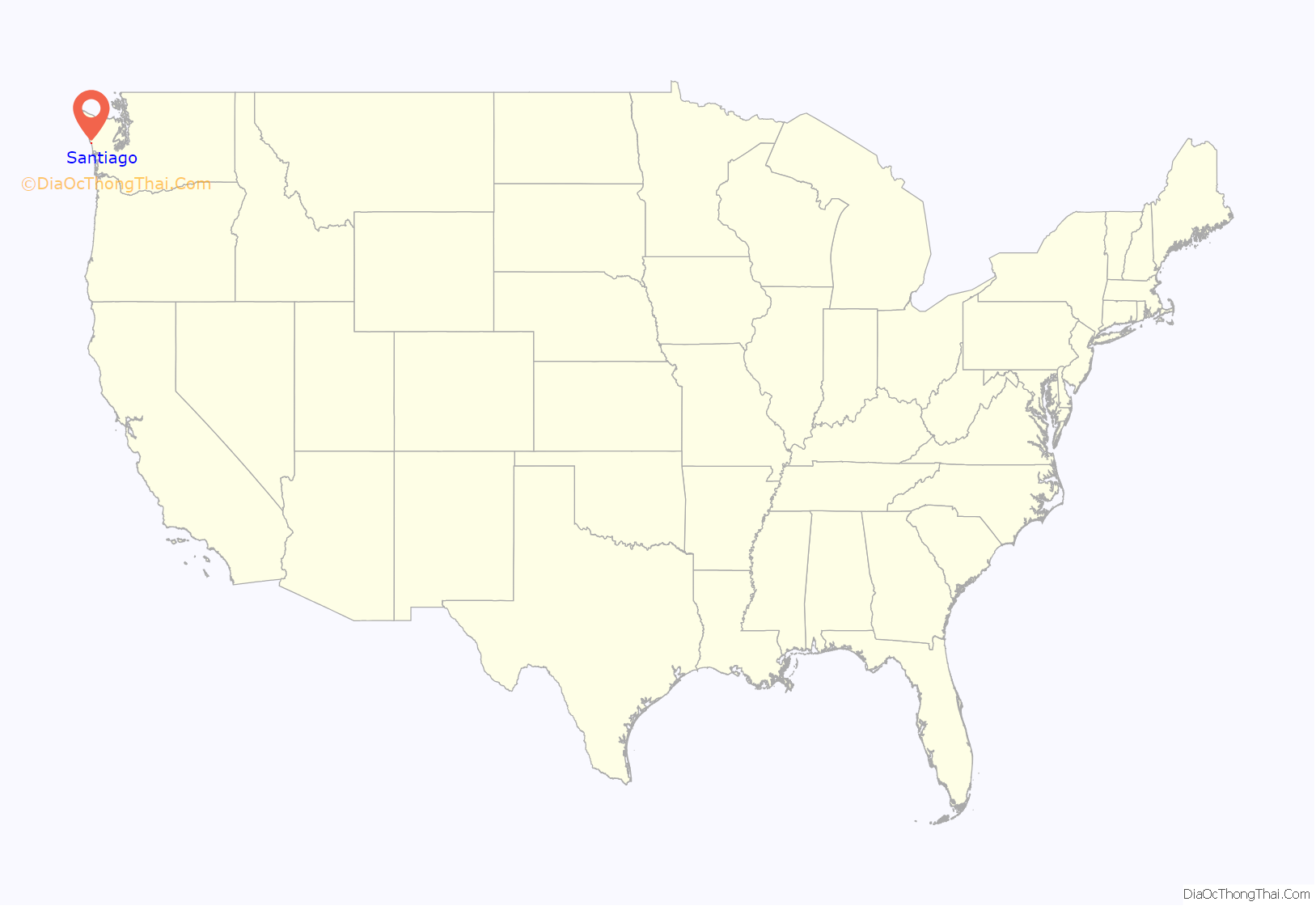
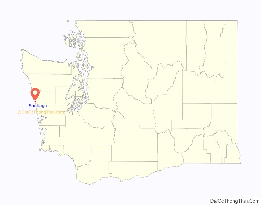
Santiago location map. Where is Santiago CDP?
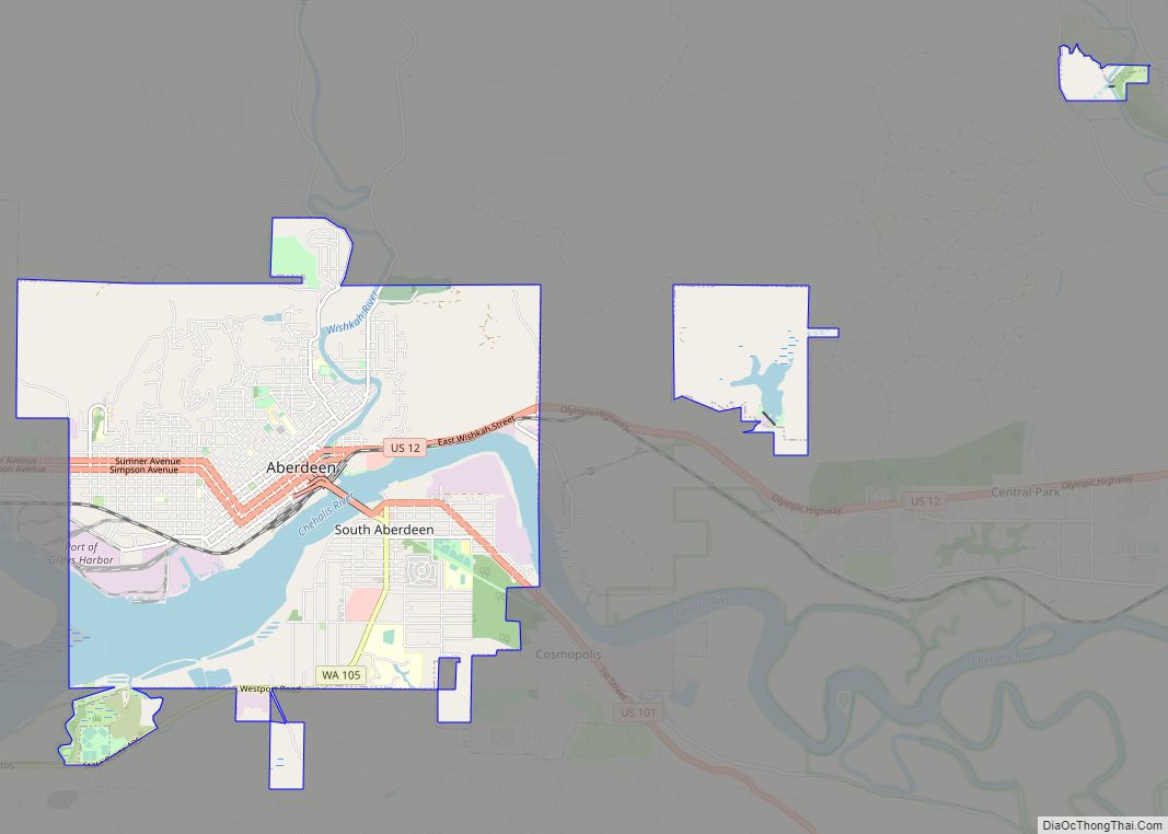
Santiago Road Map
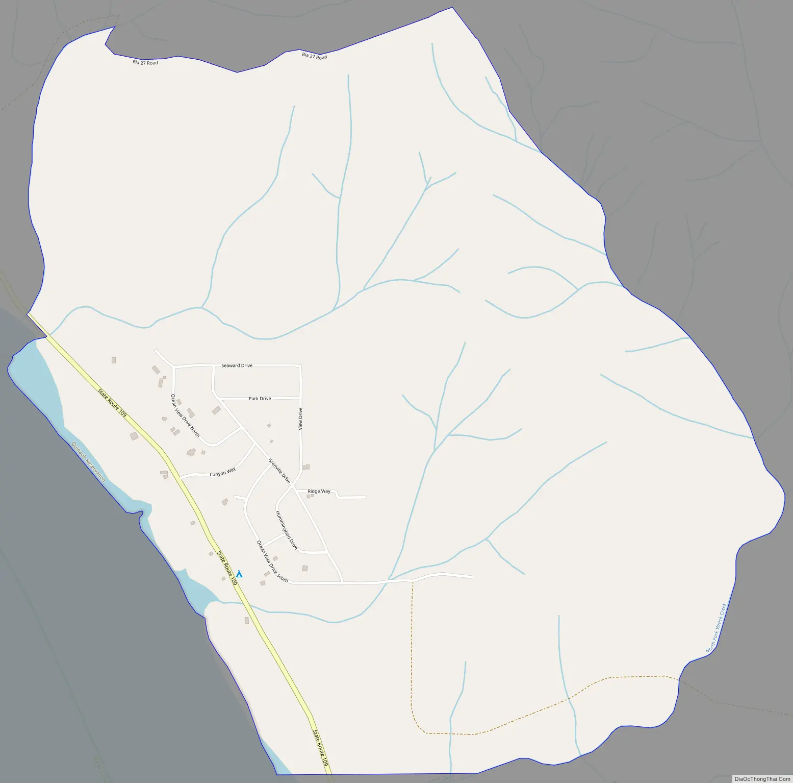
Santiago city Satellite Map
See also
Map of Washington State and its subdivision:- Adams
- Asotin
- Benton
- Chelan
- Clallam
- Clark
- Columbia
- Cowlitz
- Douglas
- Ferry
- Franklin
- Garfield
- Grant
- Grays Harbor
- Island
- Jefferson
- King
- Kitsap
- Kittitas
- Klickitat
- Lewis
- Lincoln
- Mason
- Okanogan
- Pacific
- Pend Oreille
- Pierce
- San Juan
- Skagit
- Skamania
- Snohomish
- Spokane
- Stevens
- Thurston
- Wahkiakum
- Walla Walla
- Whatcom
- Whitman
- Yakima
- Alabama
- Alaska
- Arizona
- Arkansas
- California
- Colorado
- Connecticut
- Delaware
- District of Columbia
- Florida
- Georgia
- Hawaii
- Idaho
- Illinois
- Indiana
- Iowa
- Kansas
- Kentucky
- Louisiana
- Maine
- Maryland
- Massachusetts
- Michigan
- Minnesota
- Mississippi
- Missouri
- Montana
- Nebraska
- Nevada
- New Hampshire
- New Jersey
- New Mexico
- New York
- North Carolina
- North Dakota
- Ohio
- Oklahoma
- Oregon
- Pennsylvania
- Rhode Island
- South Carolina
- South Dakota
- Tennessee
- Texas
- Utah
- Vermont
- Virginia
- Washington
- West Virginia
- Wisconsin
- Wyoming