Selah is a city in Yakima County, Washington, United States. The population was 8,153 at the 2020 census.
| Name: | Selah city |
|---|---|
| LSAD Code: | 25 |
| LSAD Description: | city (suffix) |
| State: | Washington |
| County: | Yakima County |
| Founded: | 1871 |
| Incorporated: | March 17, 1919 |
| Elevation: | 1,119 ft (341 m) |
| Total Area: | 4.64 sq mi (12.01 km²) |
| Land Area: | 4.58 sq mi (11.86 km²) |
| Water Area: | 0.06 sq mi (0.15 km²) |
| Total Population: | 8,153 |
| Population Density: | 1,765.34/sq mi (681.62/km²) |
| ZIP code: | 98942 |
| Area code: | 509 |
| FIPS code: | 5363280 |
| GNISfeature ID: | 1512655 |
| Website: | selahwa.gov |
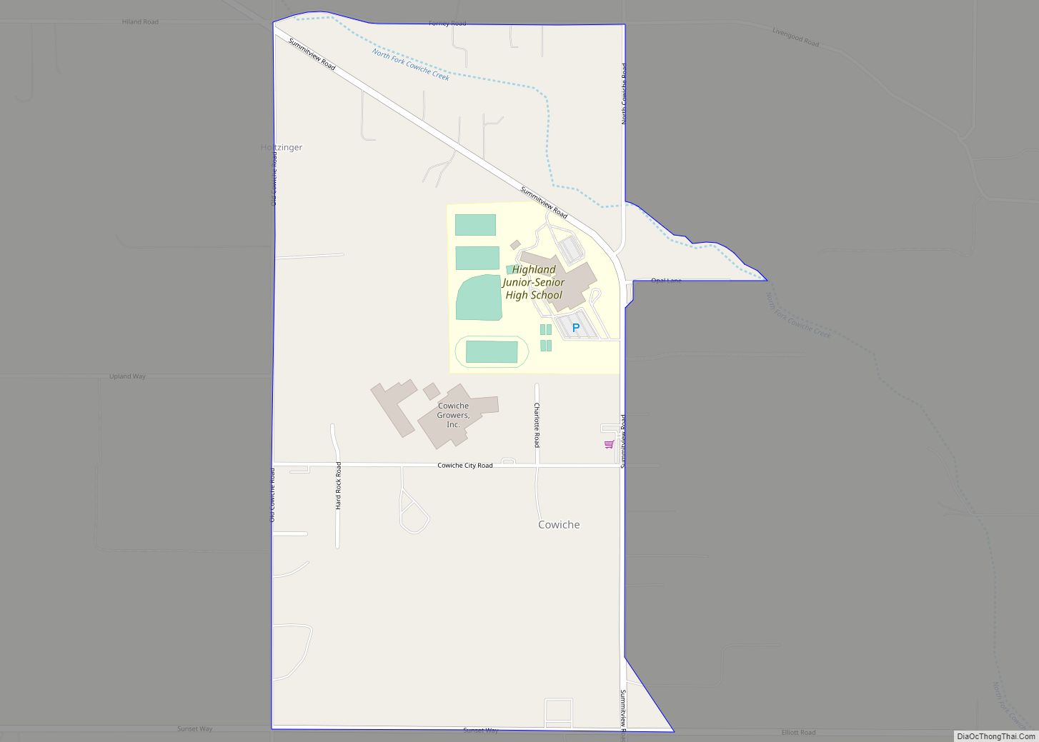
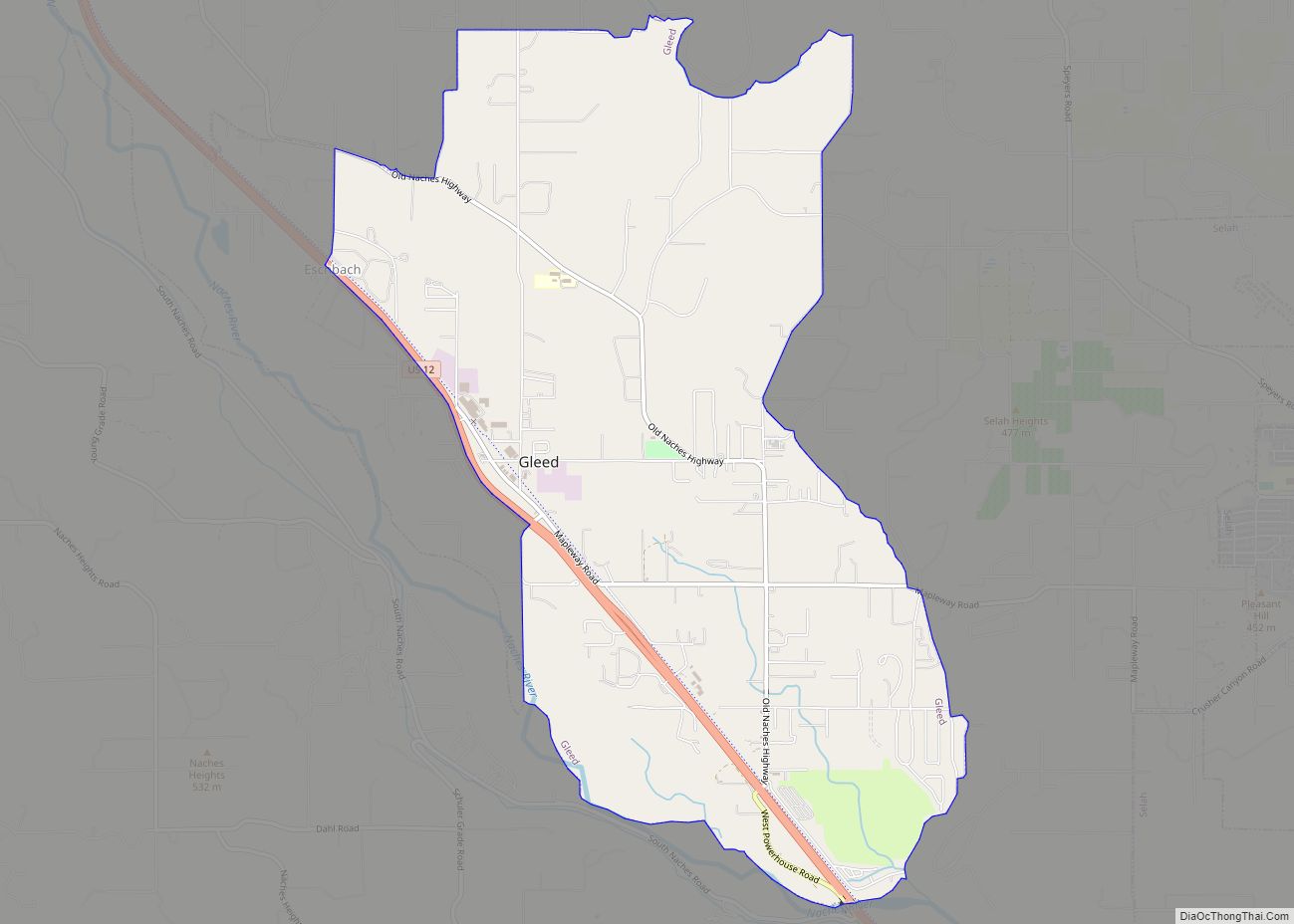
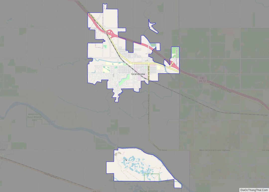
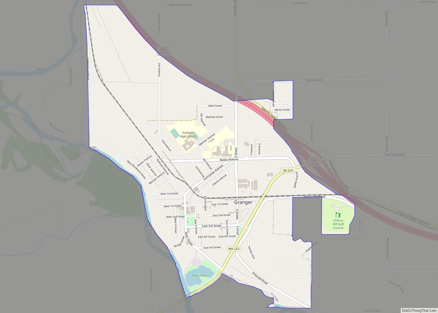
Online Interactive Map
Click on ![]() to view map in "full screen" mode.
to view map in "full screen" mode.
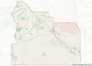
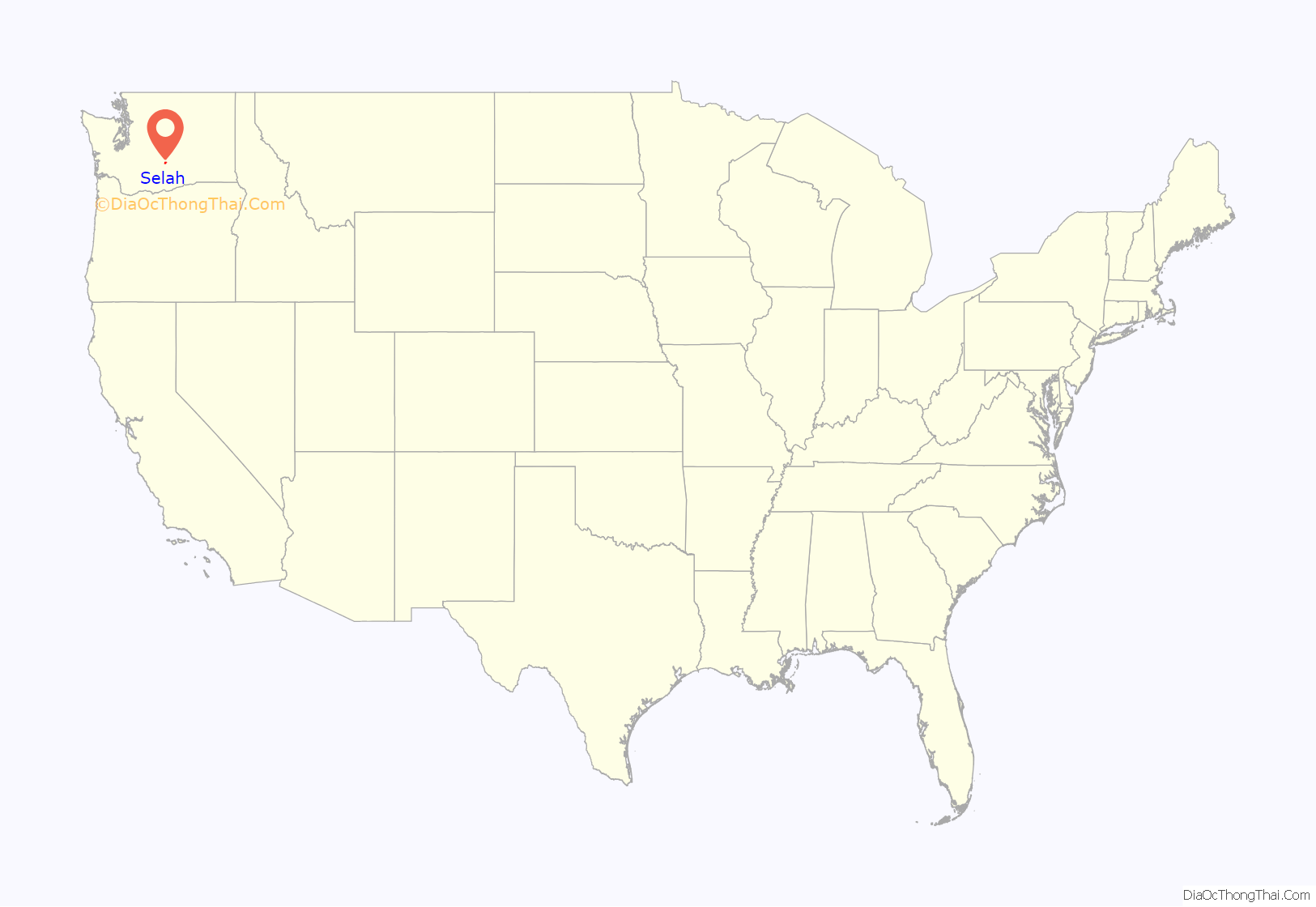
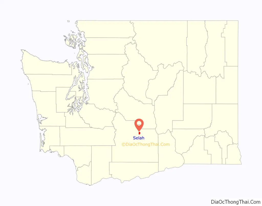
Selah location map. Where is Selah city?
History
Selah was incorporated on March 17, 1919. The Tree Top apple processor co-operative (established in 1960) has its headquarters and two processing plants in Selah. In 2004, the Yakama Tribe bought the old Hi-Country juicing plant, which it operated until 2010. Currently, the facility is owned and operated by Sun-Rype, the U.S. arm of Western Canada’s largest juice and fruit snack distributor. It continues to produce store brand apple juice and other beverages. In addition a number of fruit companies have warehouses there, due to the proximity of fruit orchards in the nearby Wenas Valley and access to regional railroad and roadway systems for shipment to markets. Selah and the Wenas Valley increasingly serve as a “bedroom community” of the larger city of Yakima to the south. Because of the nearby orchards and juice processing plants, Selah is often referred to as “The Apple Juice Capital of the World”
Each Memorial Day weekend, the Washington State chapter of the National Audubon Society holds a campout some 22 miles north of Selah at the Hazel Wolf Bird Sanctuary in the upper Wenas Valley near Wenas, Washington. The upper valley also holds Wenas Lake, an irrigation reservoir. Wenas Creek flows from the reservoir through the agricultural lower Wenas Valley. This is where the Wenas Creek Mammoth was found. The creek is a tributary of the Yakima River.
In July 2020, the city was the subject of a New York Times story examining small town reaction to non-violent protests about racial inequality which noted anecdotal evidence of uneven enforcement of laws and rules to people of color.
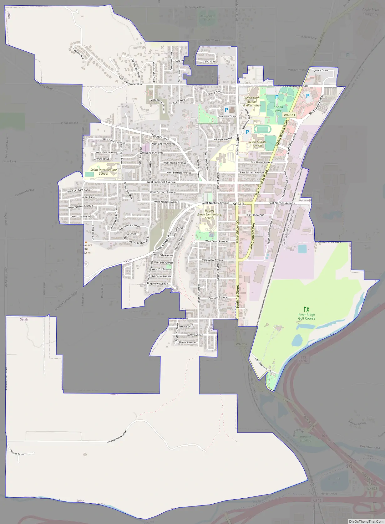
Selah Road Map
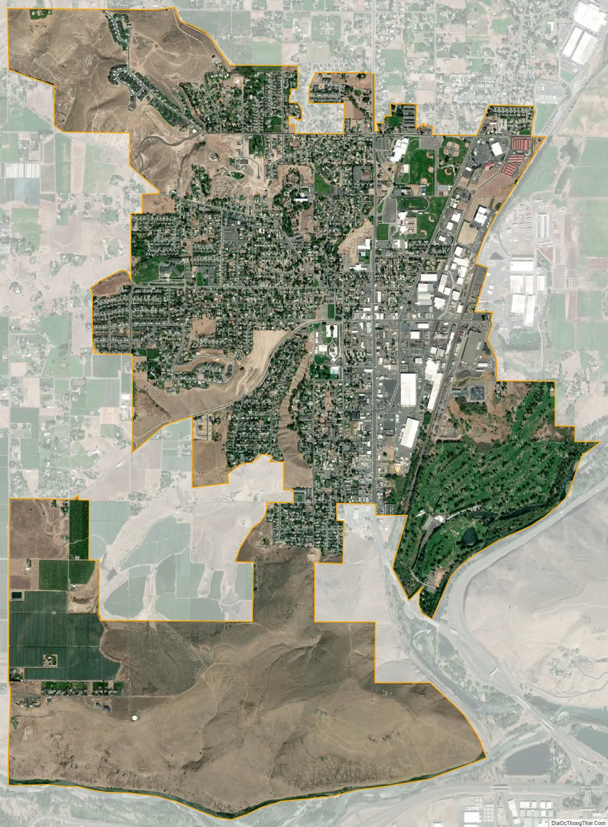
Selah city Satellite Map
Geography
Selah is located at 46°39′8″N 120°32′6″W / 46.65222°N 120.53500°W / 46.65222; -120.53500 (46.652109, -120.535134).
According to the United States Census Bureau, the city has a total area of 4.52 square miles (11.71 km), of which, 4.44 square miles (11.50 km) is land and 0.08 square miles (0.21 km) is water.
Climate
This region experiences hot and dry summers, with no average monthly temperatures above 71.6 °F. According to the Köppen Climate Classification system, Selah has a warm-summer Mediterranean climate, abbreviated “Csb” on climate maps.
See also
Map of Washington State and its subdivision:- Adams
- Asotin
- Benton
- Chelan
- Clallam
- Clark
- Columbia
- Cowlitz
- Douglas
- Ferry
- Franklin
- Garfield
- Grant
- Grays Harbor
- Island
- Jefferson
- King
- Kitsap
- Kittitas
- Klickitat
- Lewis
- Lincoln
- Mason
- Okanogan
- Pacific
- Pend Oreille
- Pierce
- San Juan
- Skagit
- Skamania
- Snohomish
- Spokane
- Stevens
- Thurston
- Wahkiakum
- Walla Walla
- Whatcom
- Whitman
- Yakima
- Alabama
- Alaska
- Arizona
- Arkansas
- California
- Colorado
- Connecticut
- Delaware
- District of Columbia
- Florida
- Georgia
- Hawaii
- Idaho
- Illinois
- Indiana
- Iowa
- Kansas
- Kentucky
- Louisiana
- Maine
- Maryland
- Massachusetts
- Michigan
- Minnesota
- Mississippi
- Missouri
- Montana
- Nebraska
- Nevada
- New Hampshire
- New Jersey
- New Mexico
- New York
- North Carolina
- North Dakota
- Ohio
- Oklahoma
- Oregon
- Pennsylvania
- Rhode Island
- South Carolina
- South Dakota
- Tennessee
- Texas
- Utah
- Vermont
- Virginia
- Washington
- West Virginia
- Wisconsin
- Wyoming