Silver Firs is a census-designated place (CDP) in Snohomish County, Washington, United States. The population was 22,174 at the 2020 census. It lies northeast of the city of Mill Creek. Silver Firs is one of two CDPs that were created out of the former Seattle Hill-Silver Firs CDP in 2010, the other being Eastmont.
| Name: | Silver Firs CDP |
|---|---|
| LSAD Code: | 57 |
| LSAD Description: | CDP (suffix) |
| State: | Washington |
| County: | Snohomish County |
| Total Area: | 14.0 sq mi (36.2 km²) |
| Land Area: | 14.0 sq mi (36.1 km²) |
| Water Area: | 0.0 sq mi (0.1 km²) |
| Total Population: | 22,174 |
| Population Density: | 2,686.2/sq mi (1,037.1/km²) |
| FIPS code: | 5364380 |
Online Interactive Map
Click on ![]() to view map in "full screen" mode.
to view map in "full screen" mode.
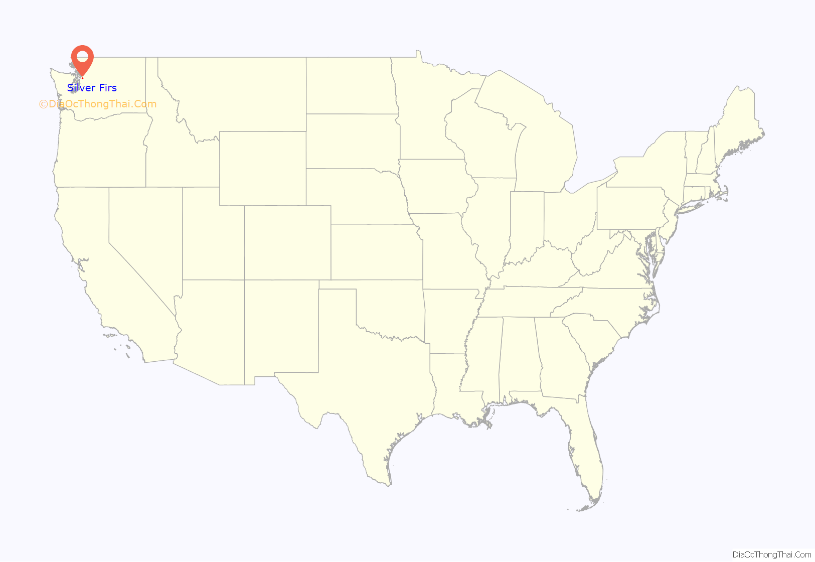
Silver Firs location map. Where is Silver Firs CDP?
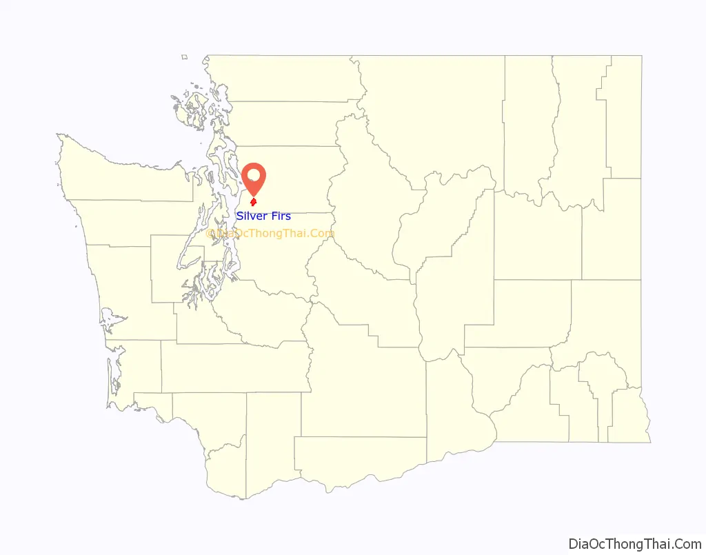
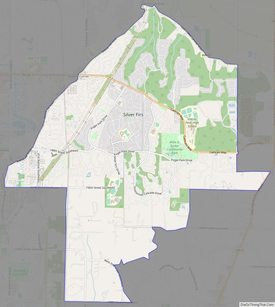
Silver Firs Road Map
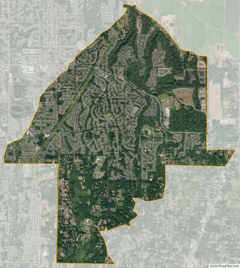
Silver Firs city Satellite Map
Geography
Silver Firs is located at 47°51′42″N 122°08′44″W / 47.86167°N 122.14556°W / 47.86167; -122.14556 (47.881010, -122.178697).
According to the United States Census Bureau, the CDP has a total area of 14.0 square miles (36.2 km), of which, 13.9 square miles (36.1 km) of it is land and 0.04 square miles (0.1 km) of it (0.21%) is water.
The CDP contains several large residential neighborhoods, including Silver Firs and the Highlands.
See also
Map of Washington State and its subdivision:- Adams
- Asotin
- Benton
- Chelan
- Clallam
- Clark
- Columbia
- Cowlitz
- Douglas
- Ferry
- Franklin
- Garfield
- Grant
- Grays Harbor
- Island
- Jefferson
- King
- Kitsap
- Kittitas
- Klickitat
- Lewis
- Lincoln
- Mason
- Okanogan
- Pacific
- Pend Oreille
- Pierce
- San Juan
- Skagit
- Skamania
- Snohomish
- Spokane
- Stevens
- Thurston
- Wahkiakum
- Walla Walla
- Whatcom
- Whitman
- Yakima
- Alabama
- Alaska
- Arizona
- Arkansas
- California
- Colorado
- Connecticut
- Delaware
- District of Columbia
- Florida
- Georgia
- Hawaii
- Idaho
- Illinois
- Indiana
- Iowa
- Kansas
- Kentucky
- Louisiana
- Maine
- Maryland
- Massachusetts
- Michigan
- Minnesota
- Mississippi
- Missouri
- Montana
- Nebraska
- Nevada
- New Hampshire
- New Jersey
- New Mexico
- New York
- North Carolina
- North Dakota
- Ohio
- Oklahoma
- Oregon
- Pennsylvania
- Rhode Island
- South Carolina
- South Dakota
- Tennessee
- Texas
- Utah
- Vermont
- Virginia
- Washington
- West Virginia
- Wisconsin
- Wyoming


