South Hill is a census-designated place (CDP) in Pierce County, Washington, immediately south of Puyallup. The population was 64,708 at time of the 2020 census, up from 52,431 in 2010. The area primarily consists of suburban housing and shopping with several retail shopping centers, residential neighborhoods, and apartment/condo complexes throughout.
Most commercial areas are located along the main thoroughfare, Meridian Avenue (SR161). Major neighborhoods include Manorwood, Sunrise (Sunrise Master Association), Lipoma Firs, Silvercreek, and Gem Heights. There are also a few popular public parks: Bradley Lake Park, South Hill Community Park/Nathan Chapman Memorial Trail and Wildwood Park.
The area was first settled in the 1880s after a military road was built through the area in the 1850s. Several logging camps, farms, and hunting grounds sprouted up as the area was settled. It also was the main route to the towns of Kapowsin and Eatonville (Meridian Avenue or SR 161). Population growth was slow until after World War II, when roads improved and people could commute to nearby Tacoma, Fort Lewis, and Seattle.
| Name: | South Hill CDP |
|---|---|
| LSAD Code: | 57 |
| LSAD Description: | CDP (suffix) |
| State: | Washington |
| County: | Pierce County |
| Elevation: | 535 ft (163 m) |
| Total Area: | 18.1 sq mi (46.8 km²) |
| Land Area: | 18.0 sq mi (46.6 km²) |
| Water Area: | 0.1 sq mi (0.2 km²) |
| Total Population: | 64,708 |
| Population Density: | 3,600/sq mi (1,400/km²) |
| ZIP code: | 98373-98375 |
| Area code: | 253 & 360 |
| FIPS code: | 5365922 |
| GNISfeature ID: | 1867636 |
Online Interactive Map
Click on ![]() to view map in "full screen" mode.
to view map in "full screen" mode.
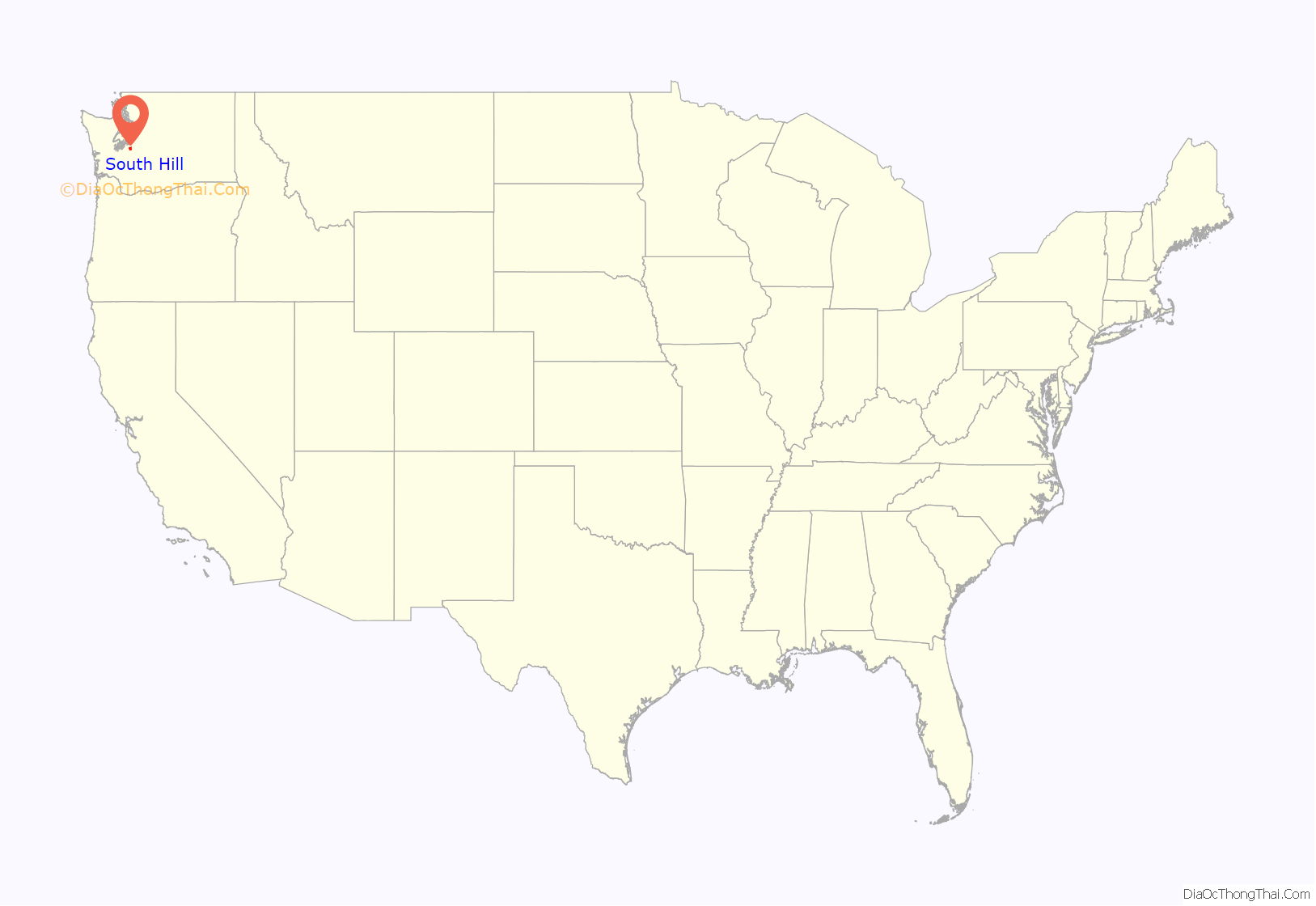
South Hill location map. Where is South Hill CDP?
History
South Hill Historical Society gathers data and memories on the history of South Hill.
Major events
- 1853- Longmire-Biles wagon train crosses South Hill
- 1870- South Hill inhabited
- 1895- Firgrove School District is established
- 1905- Main route through South Hill named Ball-Wood Road
- 1909- Tacoma-Puyallup Interurban Line rail operates through South Hill
- 1930- SagMiller Airstrip opens
- 1944- Thun Field opens (Pierce County Airport today), although John Thun doesn’t buy it until 1949
- 1945- Japan uses balloon bomb system to bomb mainland USA in World War II, and two of the bombs landed in South Hill
- 1950- Firgrove School District consolidates with Puyallup School District
- 1972- State Route 512 is completed
- 1986- EPA places Pierce County Landfill in South Hill on the National Priorities List
- 1998- Proposal for South Hill’s incorporation into Southview is defeated by voters
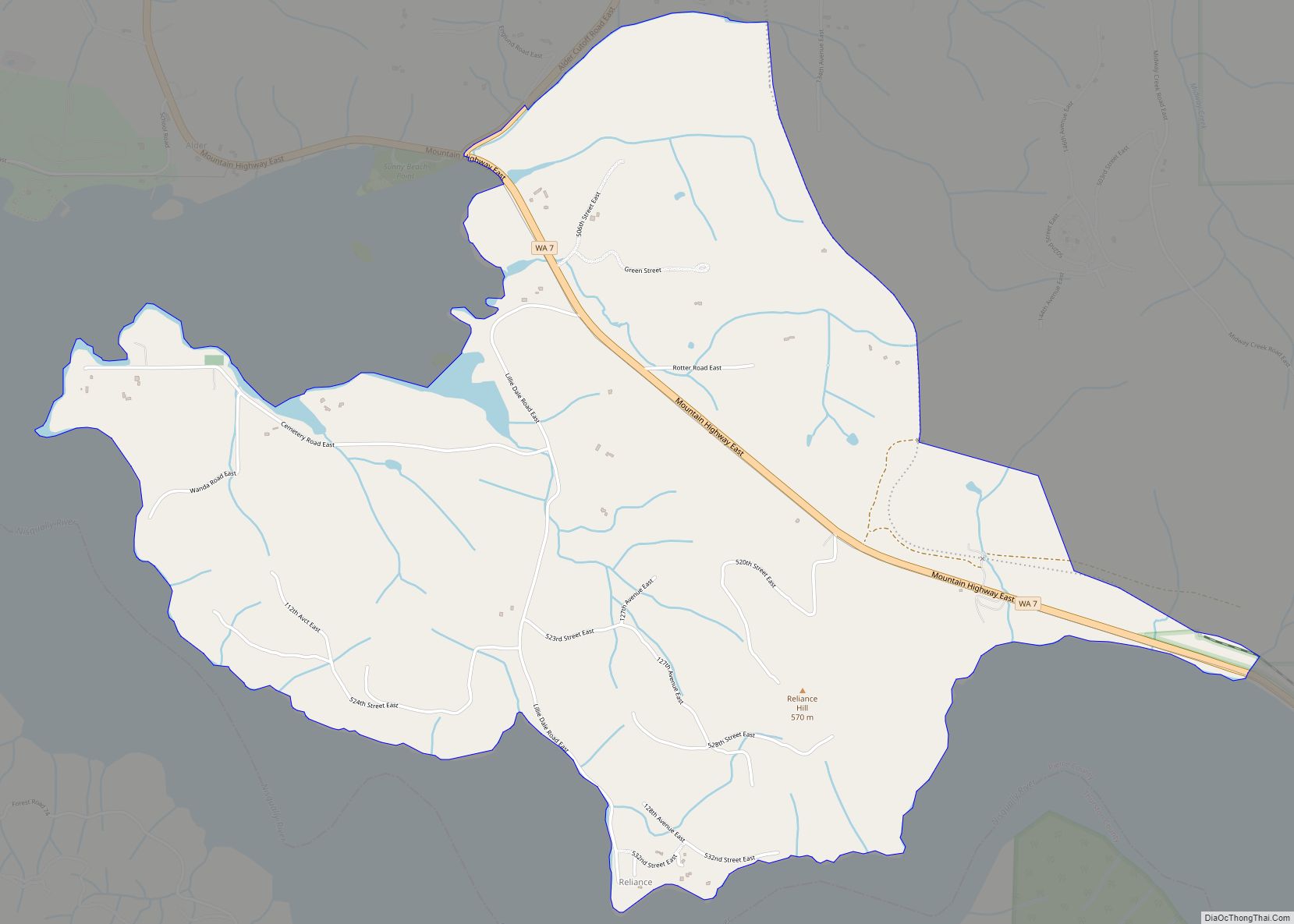
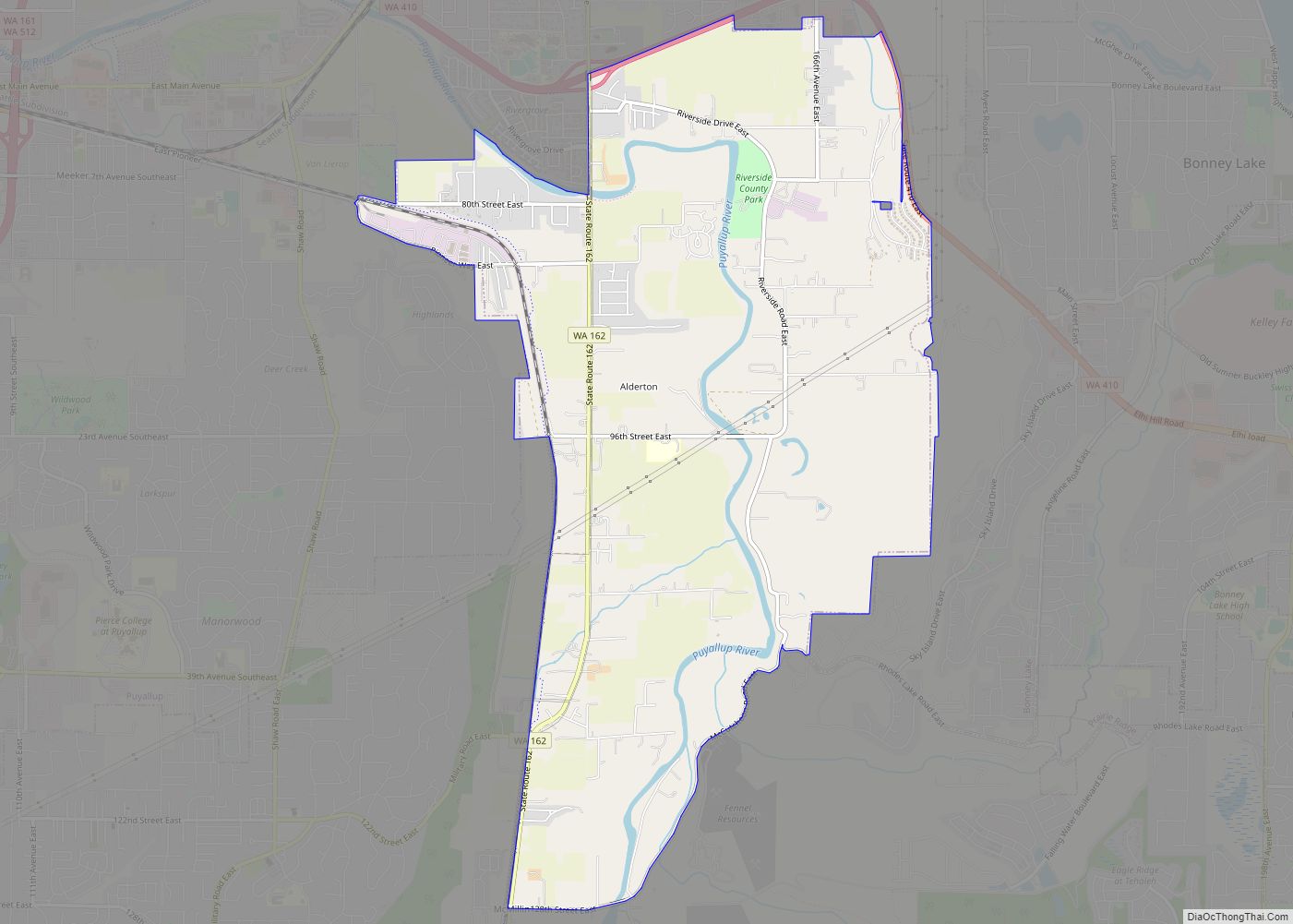
South Hill Road Map
South Hill city Satellite Map
Geography
South Hill is located at 47°7′16″N 122°17′26″W / 47.12111°N 122.29056°W / 47.12111; -122.29056 (47.121080, -122.290506).
The community’s name describes its location above the south side of the Puyallup River valley. This also contrasts with the nearby Edgewood and Milton areas, which are known informally as North Hill.
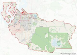
According to the United States Census Bureau, the CDP has a total area of 18.1 square miles (46.8 km), of which, 18.0 square miles (46.6 km) of it is land and 0.1 square miles (0.2 km) of it (0.39%) is water.
Climate
See also
Map of Washington State and its subdivision:- Adams
- Asotin
- Benton
- Chelan
- Clallam
- Clark
- Columbia
- Cowlitz
- Douglas
- Ferry
- Franklin
- Garfield
- Grant
- Grays Harbor
- Island
- Jefferson
- King
- Kitsap
- Kittitas
- Klickitat
- Lewis
- Lincoln
- Mason
- Okanogan
- Pacific
- Pend Oreille
- Pierce
- San Juan
- Skagit
- Skamania
- Snohomish
- Spokane
- Stevens
- Thurston
- Wahkiakum
- Walla Walla
- Whatcom
- Whitman
- Yakima
- Alabama
- Alaska
- Arizona
- Arkansas
- California
- Colorado
- Connecticut
- Delaware
- District of Columbia
- Florida
- Georgia
- Hawaii
- Idaho
- Illinois
- Indiana
- Iowa
- Kansas
- Kentucky
- Louisiana
- Maine
- Maryland
- Massachusetts
- Michigan
- Minnesota
- Mississippi
- Missouri
- Montana
- Nebraska
- Nevada
- New Hampshire
- New Jersey
- New Mexico
- New York
- North Carolina
- North Dakota
- Ohio
- Oklahoma
- Oregon
- Pennsylvania
- Rhode Island
- South Carolina
- South Dakota
- Tennessee
- Texas
- Utah
- Vermont
- Virginia
- Washington
- West Virginia
- Wisconsin
- Wyoming
