Spangle is a city in Spokane County, Washington, United States. The population was 278 at the 2010 census. The name comes from William Spangle, an early pioneer.
| Name: | Spangle city |
|---|---|
| LSAD Code: | 25 |
| LSAD Description: | city (suffix) |
| State: | Washington |
| County: | Spokane County |
| Elevation: | 2,444 ft (745 m) |
| Total Area: | 0.35 sq mi (0.91 km²) |
| Land Area: | 0.35 sq mi (0.91 km²) |
| Water Area: | 0.00 sq mi (0.00 km²) |
| Total Population: | 278 |
| Population Density: | 914.04/sq mi (352.41/km²) |
| ZIP code: | 99031 |
| Area code: | 509 |
| FIPS code: | 5366290 |
| GNISfeature ID: | 1512681 |
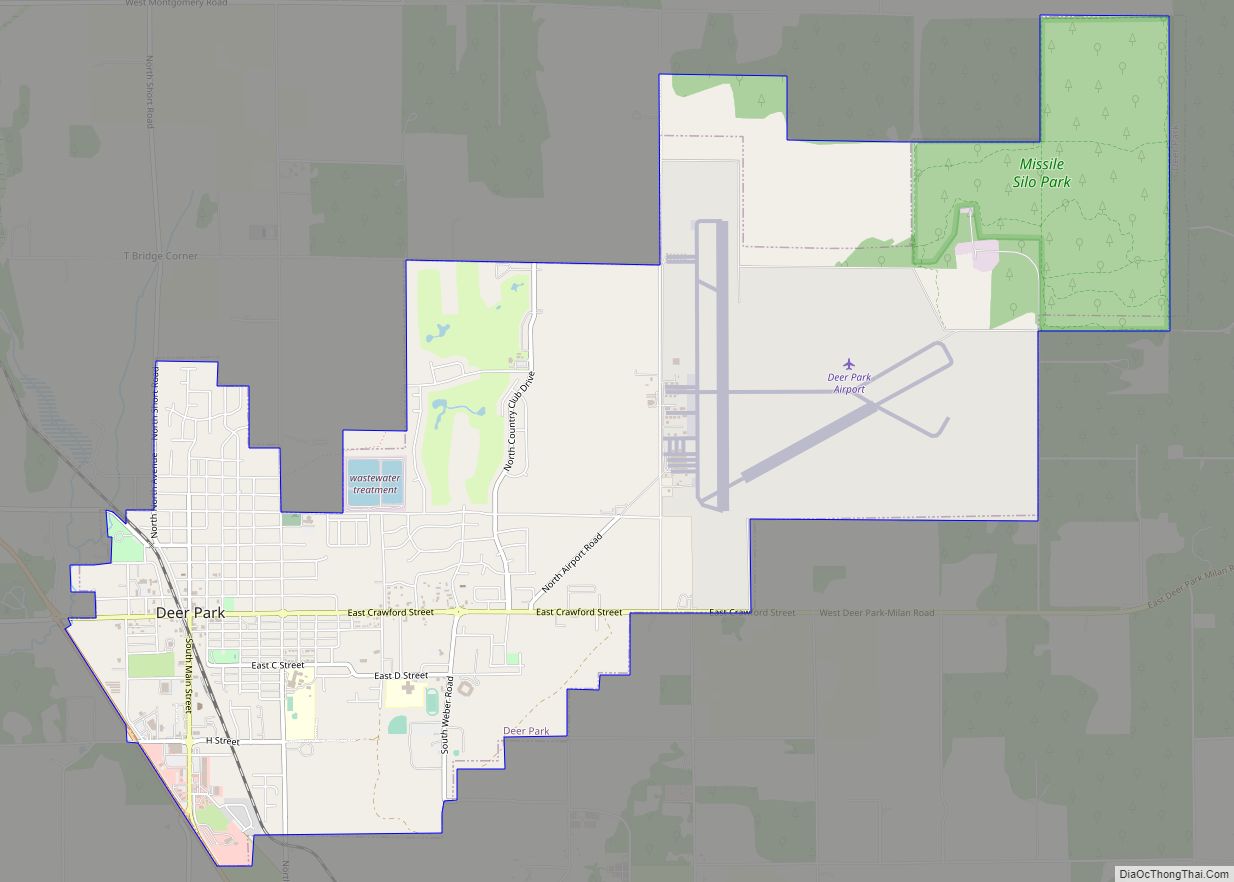
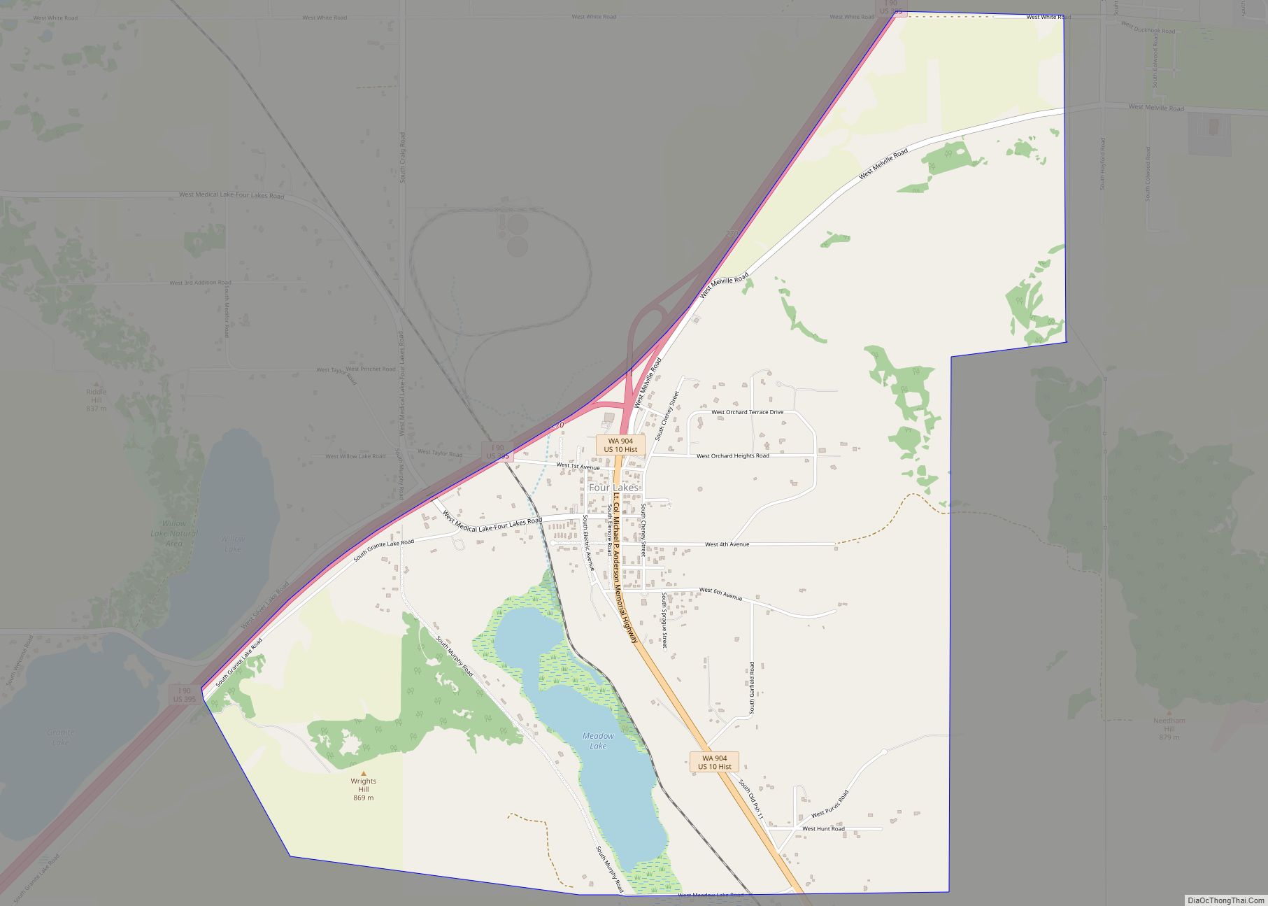
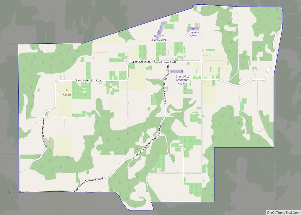
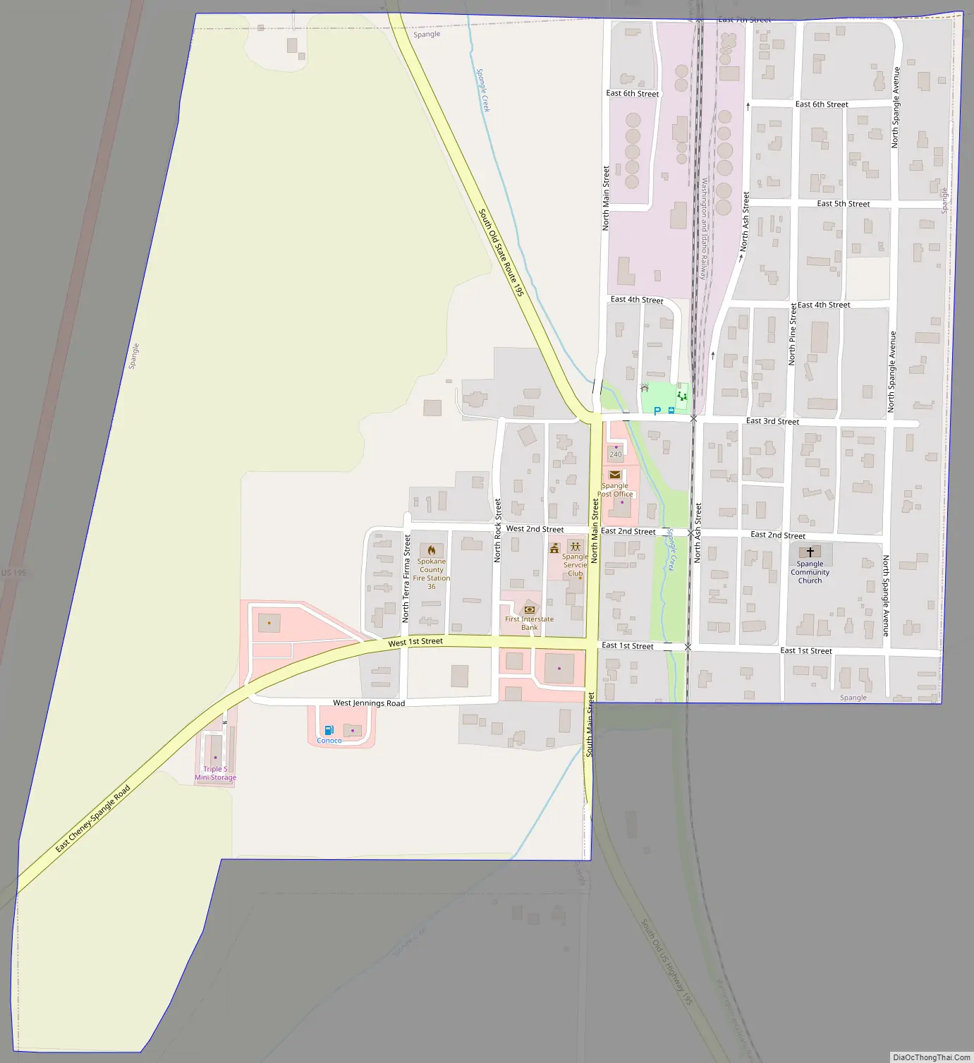
Online Interactive Map
Click on ![]() to view map in "full screen" mode.
to view map in "full screen" mode.
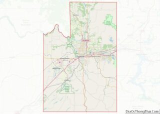
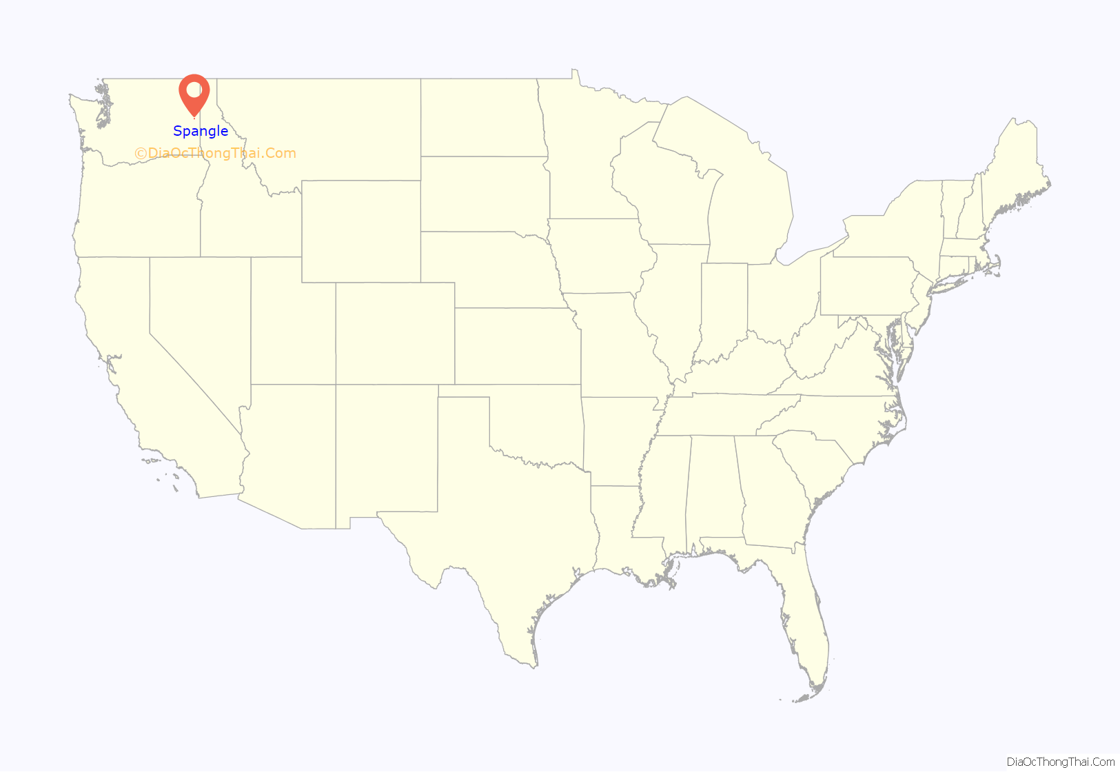
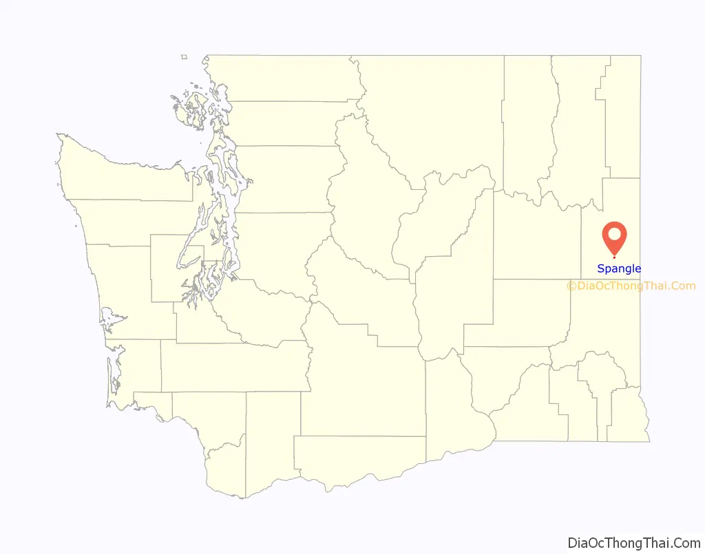
Spangle location map. Where is Spangle city?
History
Spangle was first settled in 1872 by William Spangle. Later that same year, Spangle’s two children planted a tree, marking the settlement of their new community. They affectionally named the tree “Branchy.” To this day Branchy stands tall in the center of town. The townsite was platted in 1879. It was incorporated in 1888.
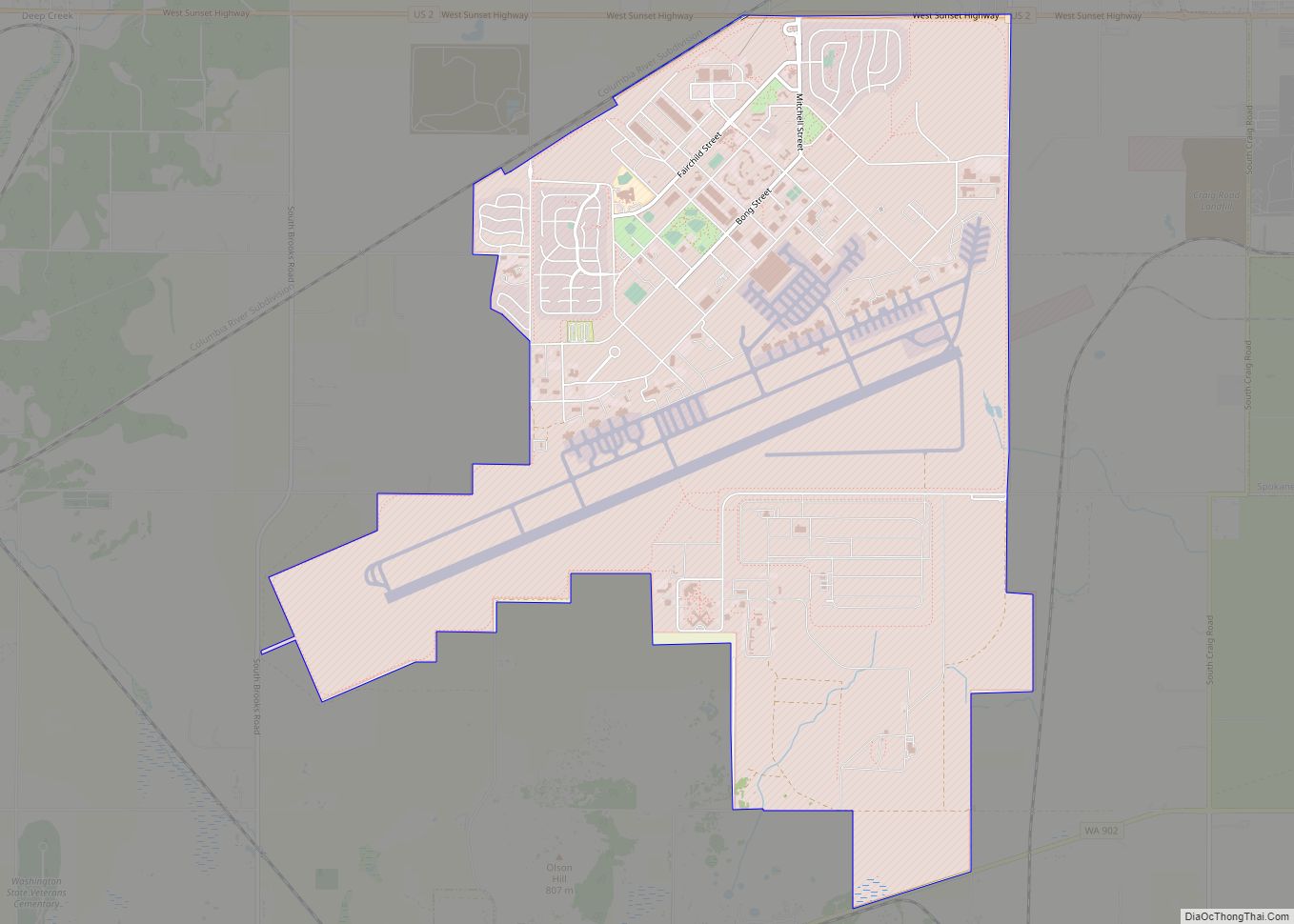
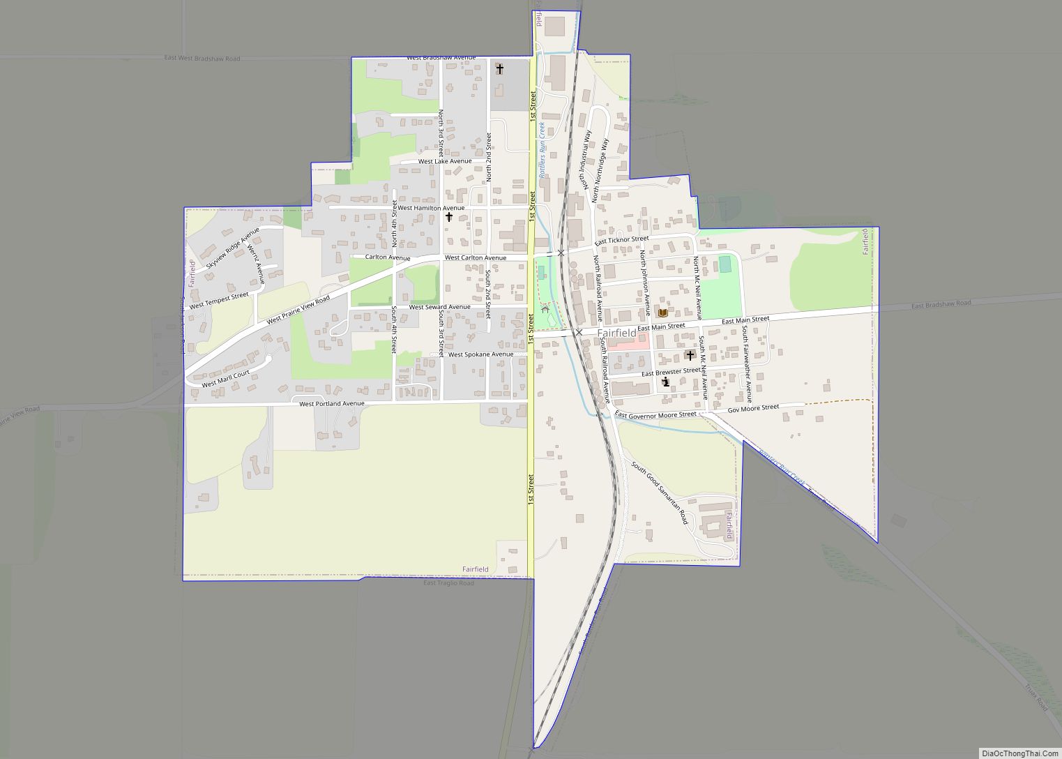
Spangle Road Map
Spangle city Satellite Map

Geography
Spangle is located at 47°25′50″N 117°22′37″W / 47.43056°N 117.37694°W / 47.43056; -117.37694 (47.430641, -117.377083).
According to the United States Census Bureau, the city has a total area of 0.36 square miles (0.93 km), all of it land.
Spangle is 18 miles south of Downtown Spokane along US Route 195, an important north–south highway. The highway used to run through town, however a re-alignment of 195 by-passed it and several other small towns. The old highway is still open between Spangle and Rosalia, 14 miles (23 km) to the south, offering an alternate route. The city is surrounded by the rolling farmland of the Palouse.
See also
Map of Washington State and its subdivision:- Adams
- Asotin
- Benton
- Chelan
- Clallam
- Clark
- Columbia
- Cowlitz
- Douglas
- Ferry
- Franklin
- Garfield
- Grant
- Grays Harbor
- Island
- Jefferson
- King
- Kitsap
- Kittitas
- Klickitat
- Lewis
- Lincoln
- Mason
- Okanogan
- Pacific
- Pend Oreille
- Pierce
- San Juan
- Skagit
- Skamania
- Snohomish
- Spokane
- Stevens
- Thurston
- Wahkiakum
- Walla Walla
- Whatcom
- Whitman
- Yakima
- Alabama
- Alaska
- Arizona
- Arkansas
- California
- Colorado
- Connecticut
- Delaware
- District of Columbia
- Florida
- Georgia
- Hawaii
- Idaho
- Illinois
- Indiana
- Iowa
- Kansas
- Kentucky
- Louisiana
- Maine
- Maryland
- Massachusetts
- Michigan
- Minnesota
- Mississippi
- Missouri
- Montana
- Nebraska
- Nevada
- New Hampshire
- New Jersey
- New Mexico
- New York
- North Carolina
- North Dakota
- Ohio
- Oklahoma
- Oregon
- Pennsylvania
- Rhode Island
- South Carolina
- South Dakota
- Tennessee
- Texas
- Utah
- Vermont
- Virginia
- Washington
- West Virginia
- Wisconsin
- Wyoming