Sumner is a city in northern Pierce County, Washington, United States. The population was 10,621 at the 2020 census. Nearby cities include Puyallup to the west, Auburn to the north, and Bonney Lake to the east.
| Name: | Sumner city |
|---|---|
| LSAD Code: | 25 |
| LSAD Description: | city (suffix) |
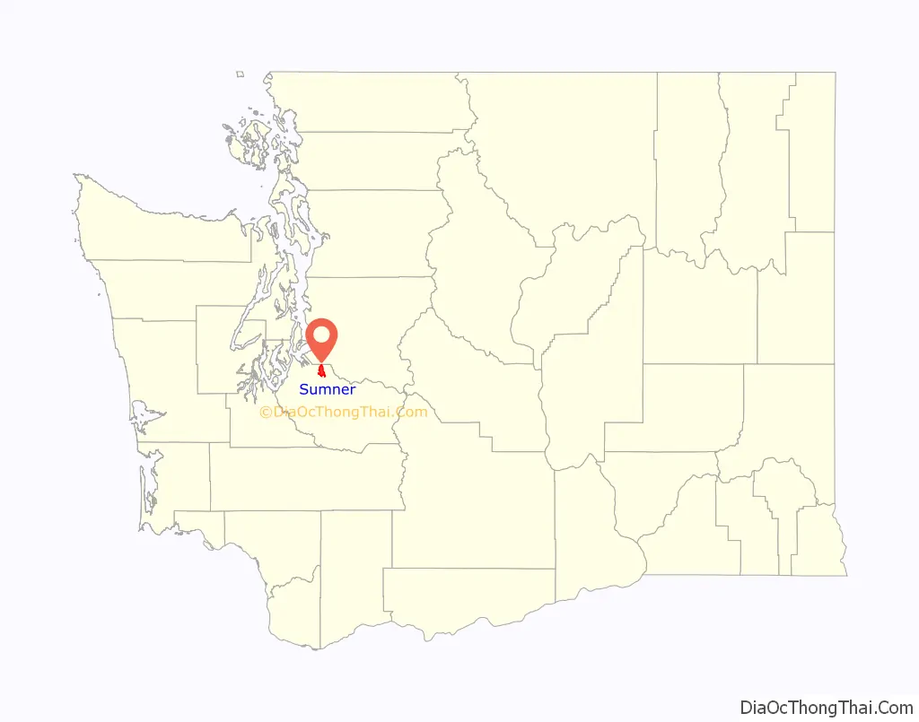
| State: | Washington |
| County: | Pierce County |
| Elevation: | 75 ft (23 m) |
| Total Area: | 7.65 sq mi (19.82 km²) |
| Land Area: | 7.53 sq mi (19.51 km²) |
| Water Area: | 0.12 sq mi (0.31 km²) |
| Total Population: | 10,621 |
| Population Density: | 1,384.36/sq mi (534.53/km²) |
| ZIP code: | 98352, 98390 |
| Area code: | 253 |
| FIPS code: | 5368435 |
| GNISfeature ID: | 1512700 |
| Website: | sumnerwa.gov |
Online Interactive Map
Click on ![]() to view map in "full screen" mode.
to view map in "full screen" mode.
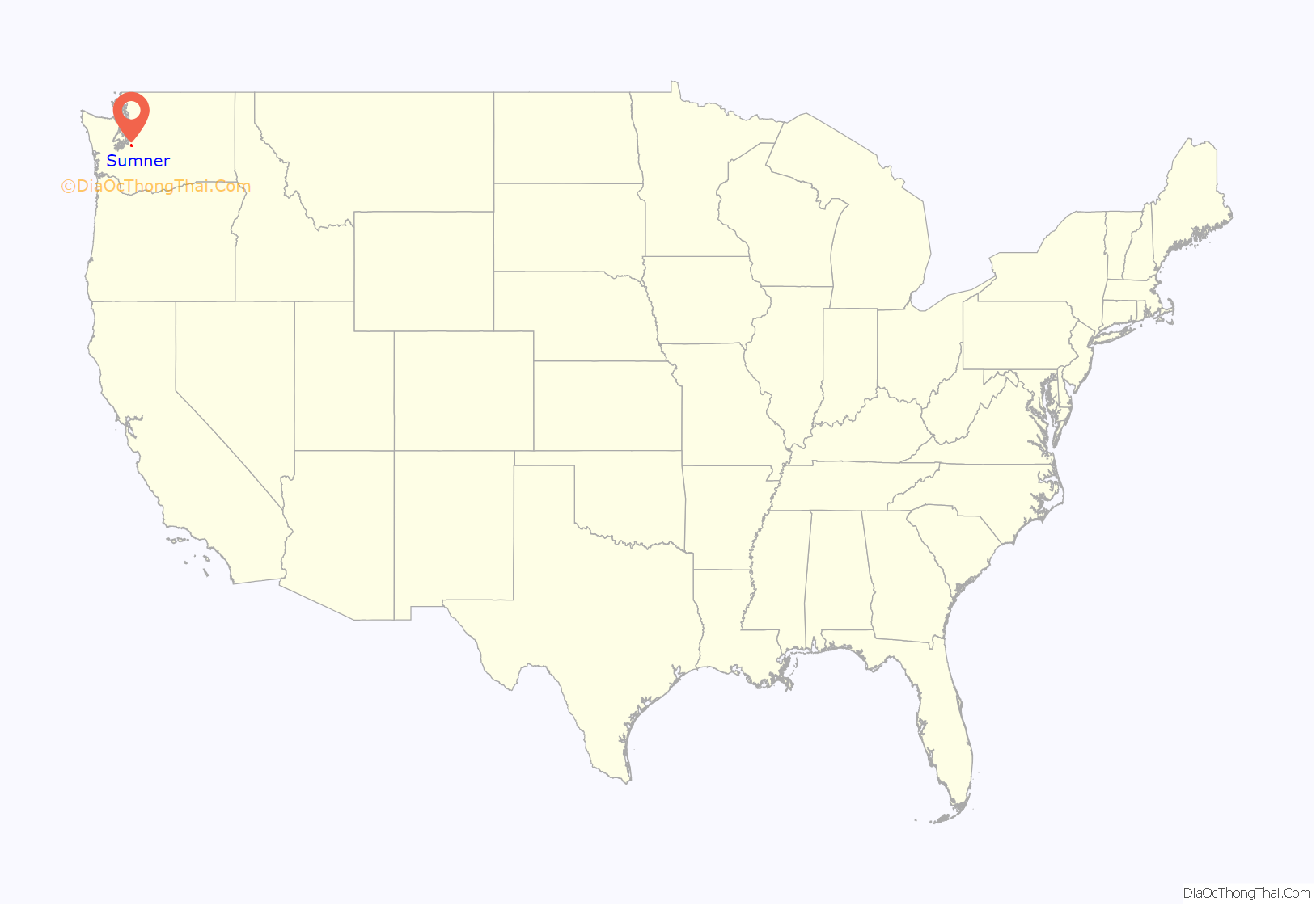
Sumner location map. Where is Sumner city?
History
Sumner was founded in 1853 as Stuck Junction and platted in 1883 by George H. Ryan, in anticipation of a stop on the Northern Pacific Railway. The town was named “Franklin” until 1891, when the Post Office Department requested that the name be changed to avoid confusion with similarly named towns. The name of abolitionist Senator Charles Sumner was chosen for the town after a lottery.
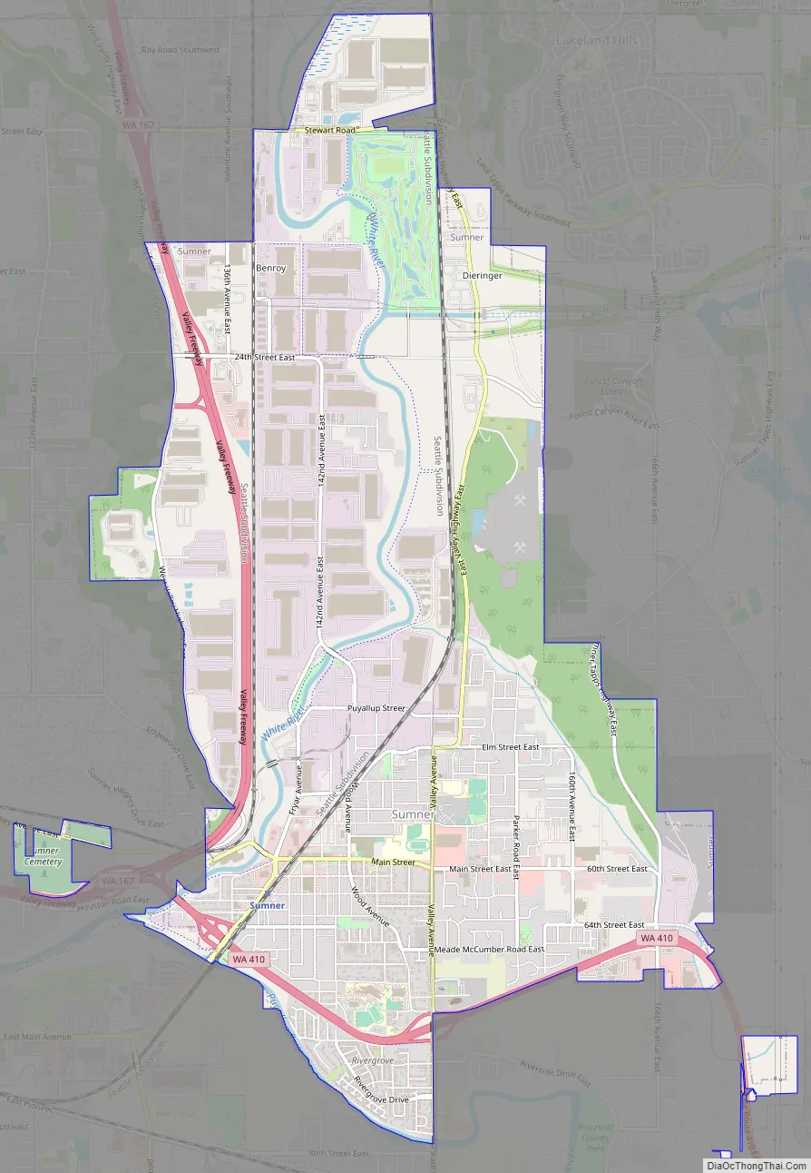
Sumner Road Map
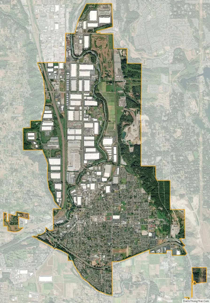
Sumner city Satellite Map
Geography
Sumner is located at 47°12′21″N 122°14′9″W / 47.20583°N 122.23583°W / 47.20583; -122.23583 (47.205823, -122.235803).
According to the United States Census Bureau, the city has a total area of 7.62 square miles (19.74 km), of which 7.51 square miles (19.45 km) is land and 0.11 square miles (0.28 km) is water.
After Orting, Sumner and Puyallup are geographically next in line to be hit by lahars whenever Mount Rainier erupts in the future. This is depicted in the Modern Marvels episode titled “Most Dangerous,” which shows a simulation of a lahar flooding the Orting and Puyallup valleys from an eruption.
See also
Map of Washington State and its subdivision:- Adams
- Asotin
- Benton
- Chelan
- Clallam
- Clark
- Columbia
- Cowlitz
- Douglas
- Ferry
- Franklin
- Garfield
- Grant
- Grays Harbor
- Island
- Jefferson
- King
- Kitsap
- Kittitas
- Klickitat
- Lewis
- Lincoln
- Mason
- Okanogan
- Pacific
- Pend Oreille
- Pierce
- San Juan
- Skagit
- Skamania
- Snohomish
- Spokane
- Stevens
- Thurston
- Wahkiakum
- Walla Walla
- Whatcom
- Whitman
- Yakima
- Alabama
- Alaska
- Arizona
- Arkansas
- California
- Colorado
- Connecticut
- Delaware
- District of Columbia
- Florida
- Georgia
- Hawaii
- Idaho
- Illinois
- Indiana
- Iowa
- Kansas
- Kentucky
- Louisiana
- Maine
- Maryland
- Massachusetts
- Michigan
- Minnesota
- Mississippi
- Missouri
- Montana
- Nebraska
- Nevada
- New Hampshire
- New Jersey
- New Mexico
- New York
- North Carolina
- North Dakota
- Ohio
- Oklahoma
- Oregon
- Pennsylvania
- Rhode Island
- South Carolina
- South Dakota
- Tennessee
- Texas
- Utah
- Vermont
- Virginia
- Washington
- West Virginia
- Wisconsin
- Wyoming


