Sunnyslope is an unincorporated community and census-designated place (CDP) in Chelan County, Washington, United States. It is part of the Wenatchee–East Wenatchee Metropolitan Statistical Area. The population was 4,041 at the 2020 census, up from 3,252 at the 2010 census.
By per capita income, Sunnyslope ranks 53rd of 522 areas in the state of Washington to be ranked. It is also the highest rank achieved in Chelan County.
| Name: | Sunnyslope CDP |
|---|---|
| LSAD Code: | 57 |
| LSAD Description: | CDP (suffix) |
| State: | Washington |
| County: | Chelan County |
| Elevation: | 817 ft (249 m) |
| Total Area: | 10.0 sq mi (26.0 km²) |
| Land Area: | 9.6 sq mi (24.8 km²) |
| Water Area: | 0.5 sq mi (1.3 km²) |
| Total Population: | 4,041 |
| Population Density: | 340/sq mi (131.3/km²) |
| FIPS code: | 5368785 |
| GNISfeature ID: | 1526754 |
Online Interactive Map
Click on ![]() to view map in "full screen" mode.
to view map in "full screen" mode.
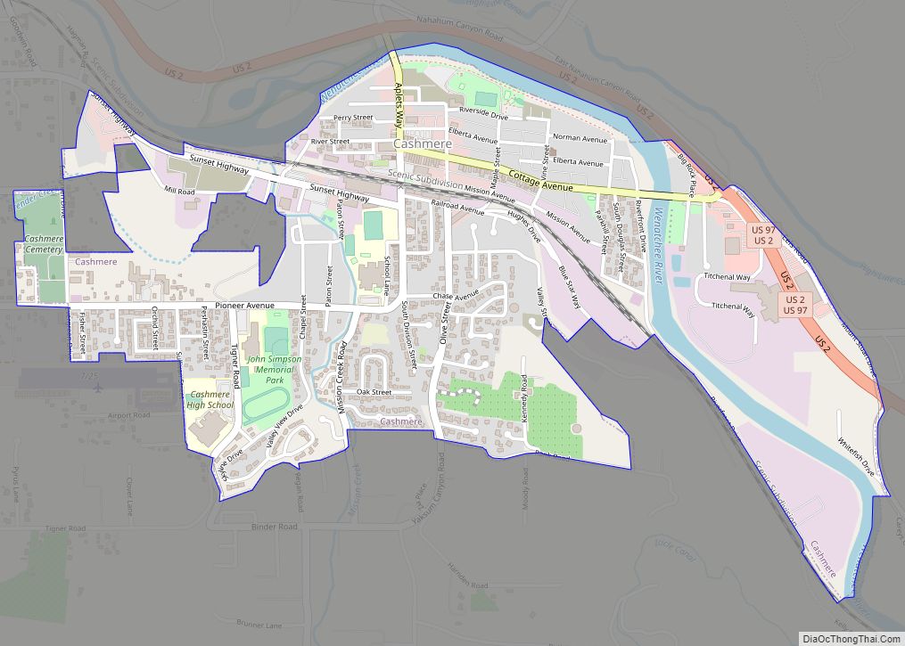
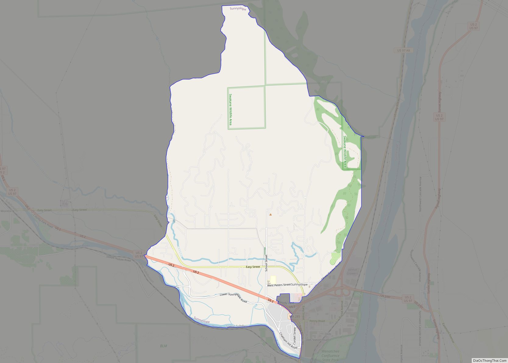
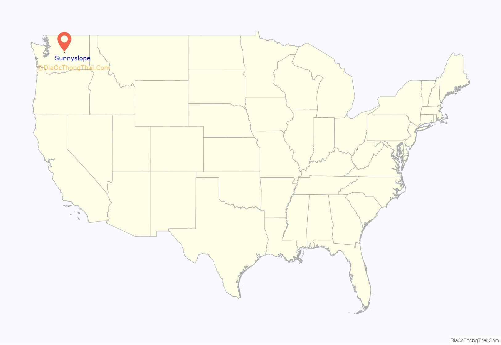
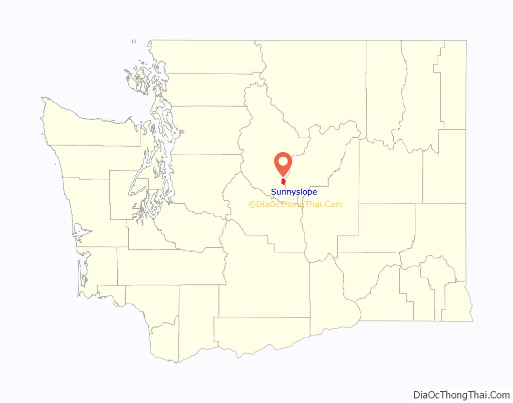
Sunnyslope location map. Where is Sunnyslope CDP?
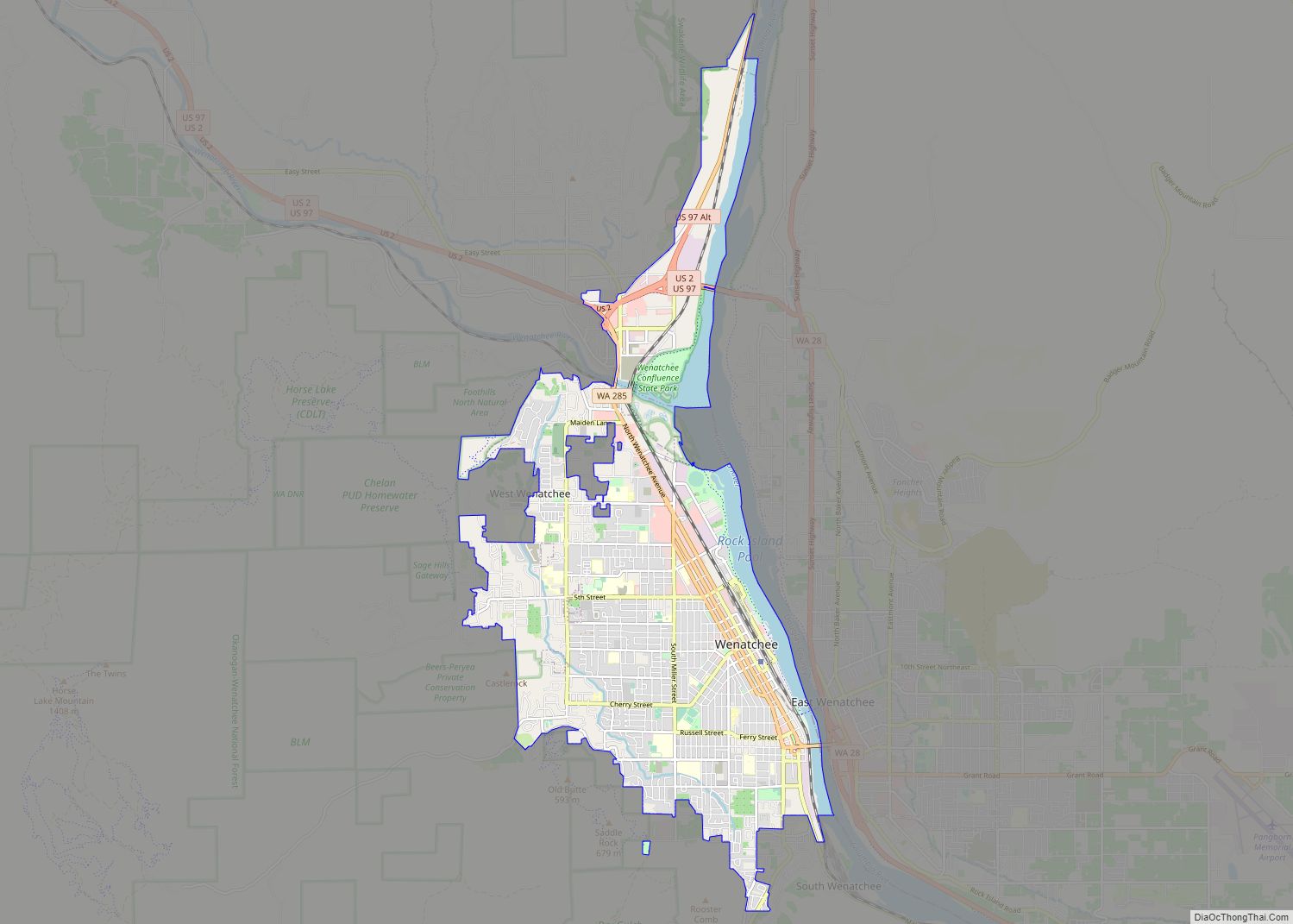
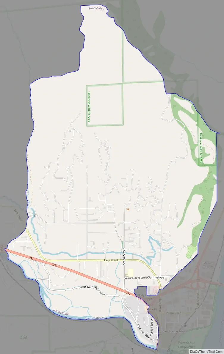
Sunnyslope Road Map
Sunnyslope city Satellite Map
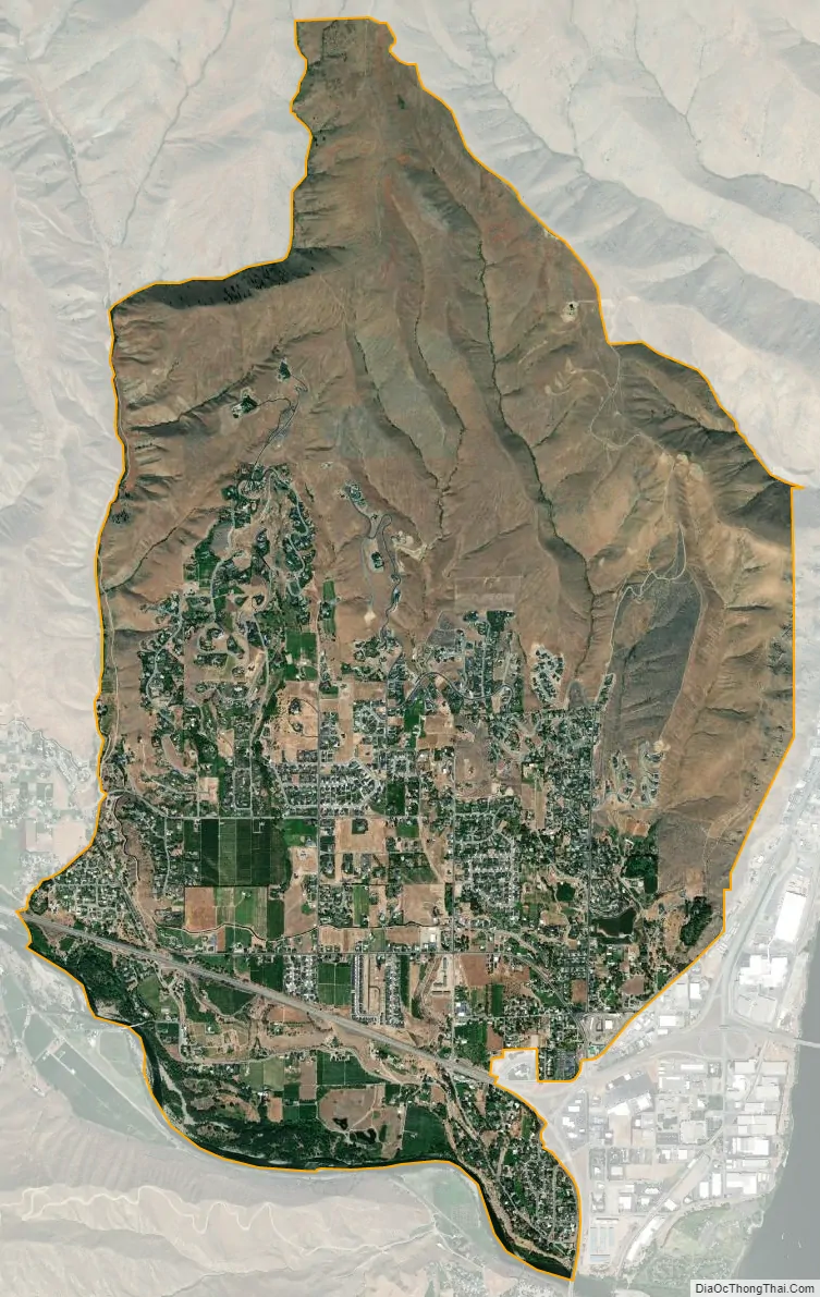
Geography
Sunnyslope is located in southern Chelan County at the confluence of the Columbia River to the east and the Wenatchee River to the south. The city limits of Wenatchee are directly to the south of the river.
U.S. Route 2 and U.S. Route 97 pass through the southern part of Sunnyslope in the Wenatchee River valley, crossing the Columbia River into Douglas County via the Richard Odabashian Bridge. State Route 285 leads south from US 2/97 into Wenatchee.
According to the United States Census Bureau, the Sunnyslope CDP has a total area of 10.0 square miles (26.0 km), of which 9.6 square miles (24.8 km) is land and 0.50 square miles (1.3 km), or 4.85%, is water.
The headquarters of the Okanogan–Wenatchee National Forest, administered by the United States Forest Service, is located in Sunnyslope.
Ohme Gardens is an alpine garden located in Sunnyslope, on a hill overlooking the community.
See also
Map of Washington State and its subdivision:- Adams
- Asotin
- Benton
- Chelan
- Clallam
- Clark
- Columbia
- Cowlitz
- Douglas
- Ferry
- Franklin
- Garfield
- Grant
- Grays Harbor
- Island
- Jefferson
- King
- Kitsap
- Kittitas
- Klickitat
- Lewis
- Lincoln
- Mason
- Okanogan
- Pacific
- Pend Oreille
- Pierce
- San Juan
- Skagit
- Skamania
- Snohomish
- Spokane
- Stevens
- Thurston
- Wahkiakum
- Walla Walla
- Whatcom
- Whitman
- Yakima
- Alabama
- Alaska
- Arizona
- Arkansas
- California
- Colorado
- Connecticut
- Delaware
- District of Columbia
- Florida
- Georgia
- Hawaii
- Idaho
- Illinois
- Indiana
- Iowa
- Kansas
- Kentucky
- Louisiana
- Maine
- Maryland
- Massachusetts
- Michigan
- Minnesota
- Mississippi
- Missouri
- Montana
- Nebraska
- Nevada
- New Hampshire
- New Jersey
- New Mexico
- New York
- North Carolina
- North Dakota
- Ohio
- Oklahoma
- Oregon
- Pennsylvania
- Rhode Island
- South Carolina
- South Dakota
- Tennessee
- Texas
- Utah
- Vermont
- Virginia
- Washington
- West Virginia
- Wisconsin
- Wyoming