Suquamish is a census-designated place (CDP) in Kitsap County, Washington, United States. The population was 4,140 at the 2010 census. Comprising the Port Madison Indian Reservation, it is the burial site of Chief Seattle and the site of the Suquamish tribe winter longhouse known as Old Man House.
| Name: | Suquamish CDP |
|---|---|
| LSAD Code: | 57 |
| LSAD Description: | CDP (suffix) |
| State: | Washington |
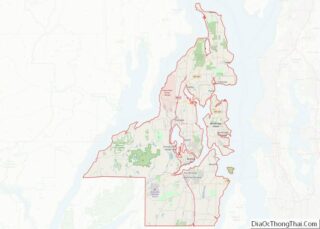
| County: | Kitsap County |
| Elevation: | 66 ft (20 m) |
| Total Area: | 7.6 sq mi (19.7 km²) |
| Land Area: | 6.8 sq mi (17.7 km²) |
| Water Area: | 0.8 sq mi (2.0 km²) |
| Total Population: | 4,140 |
| Population Density: | 606/sq mi (234.0/km²) |
| ZIP code: | 98392 |
| Area code: | 360 |
| FIPS code: | 5369170 |
| GNISfeature ID: | 1508848 |
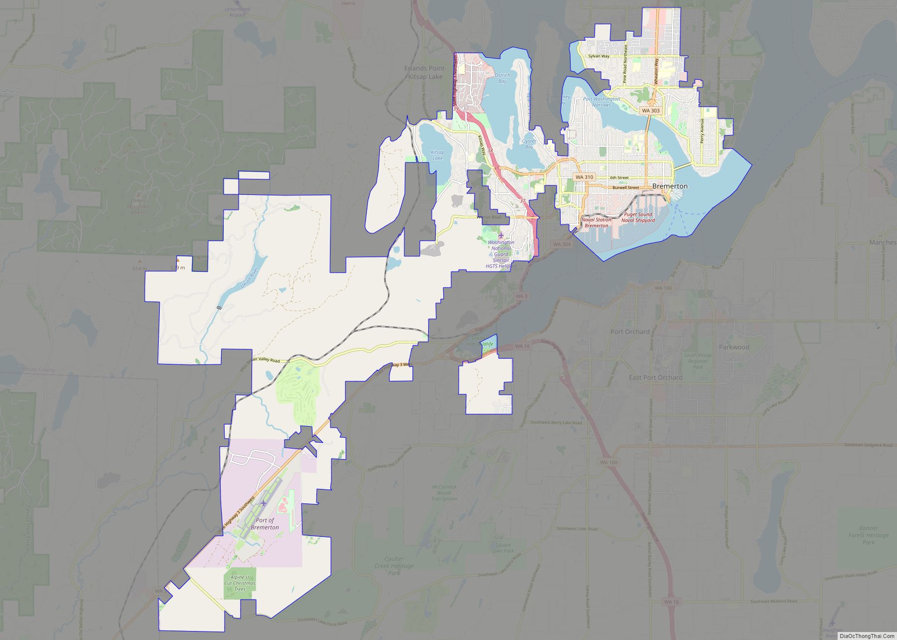
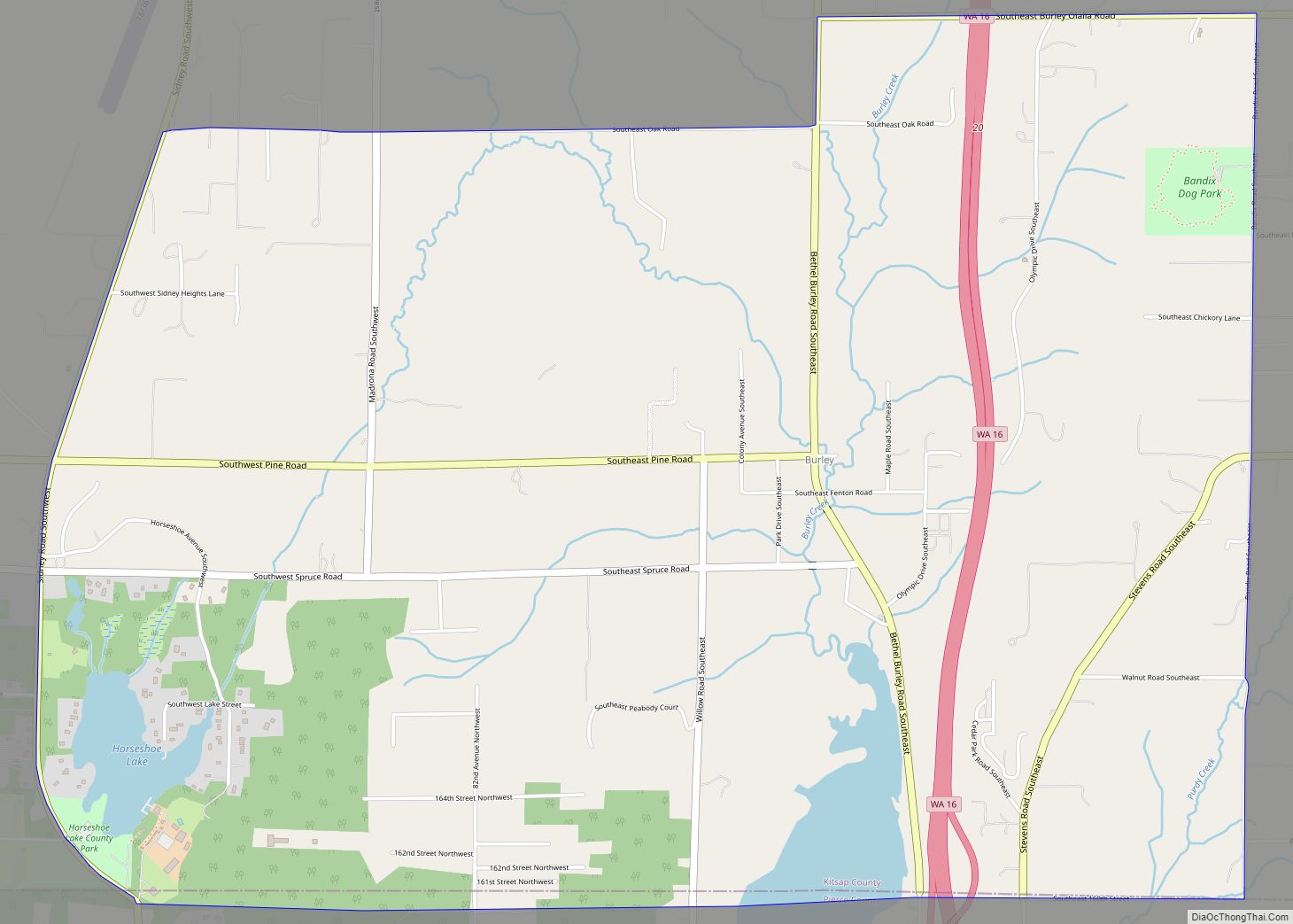
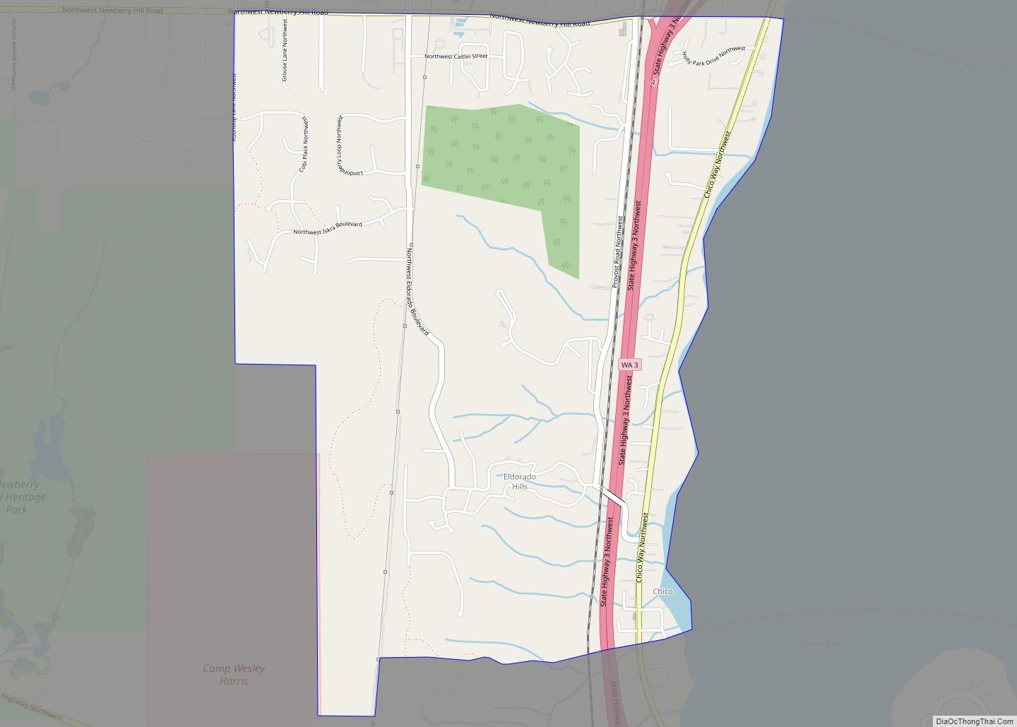
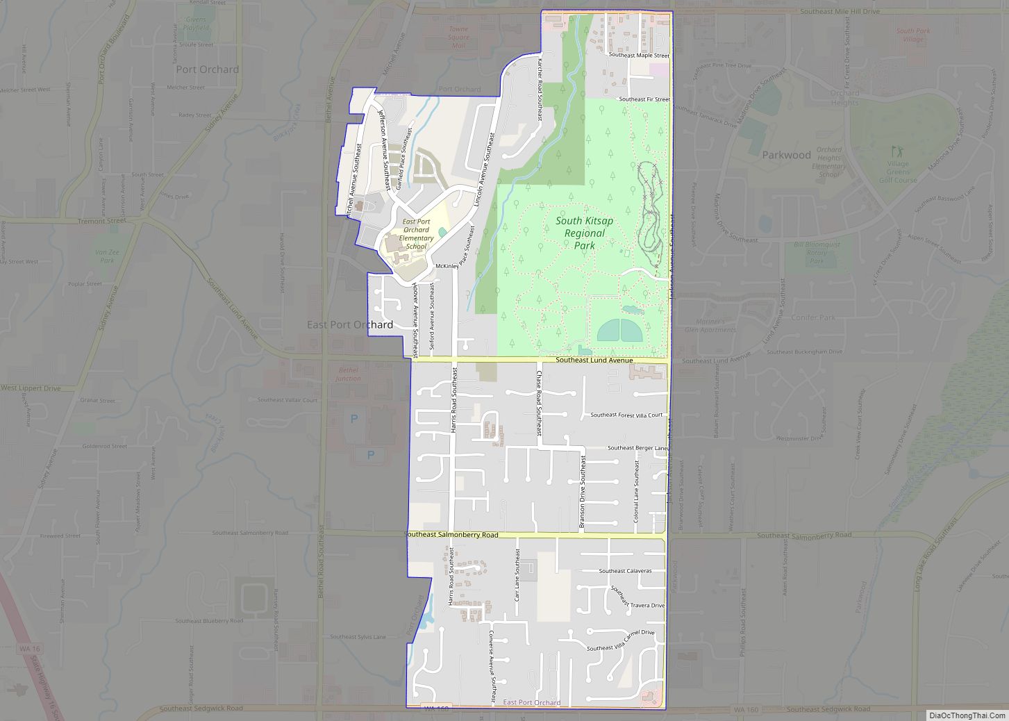
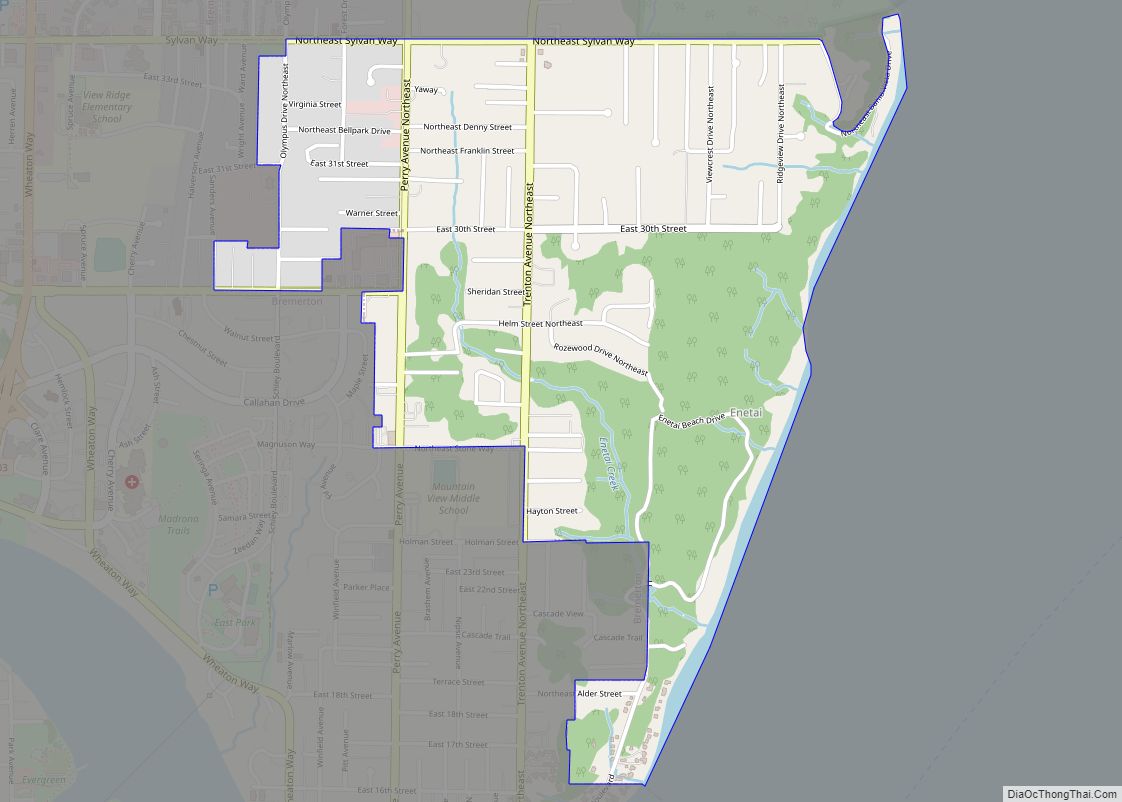
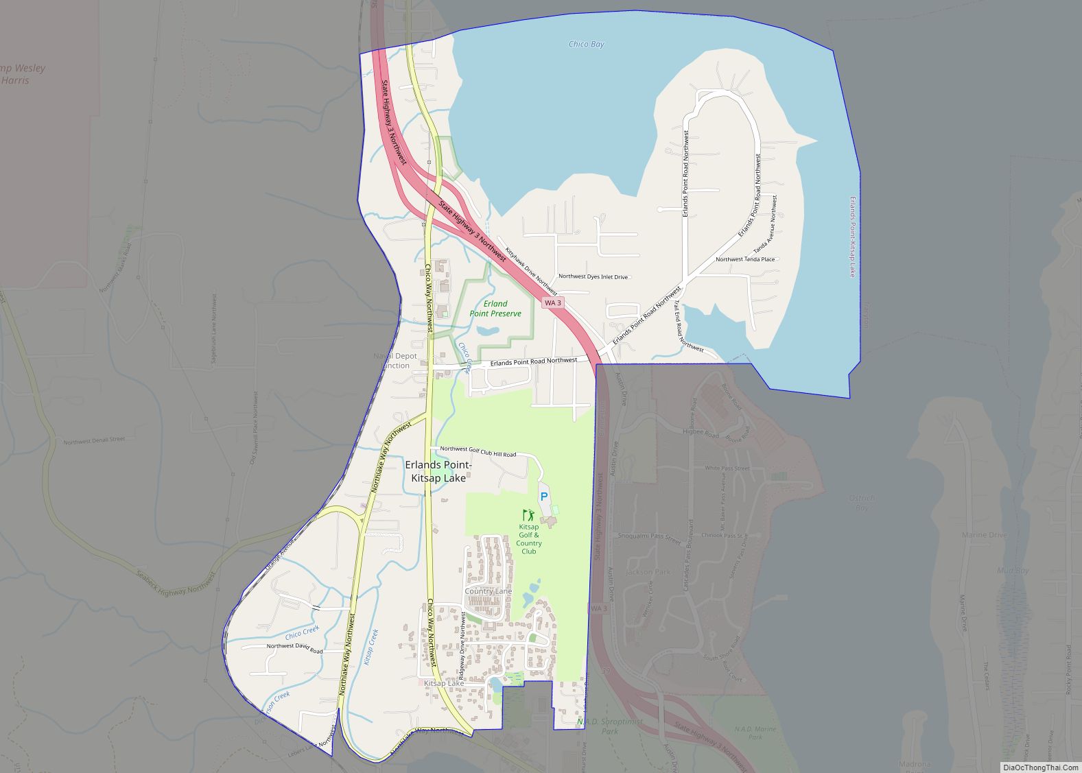
Online Interactive Map
Click on ![]() to view map in "full screen" mode.
to view map in "full screen" mode.
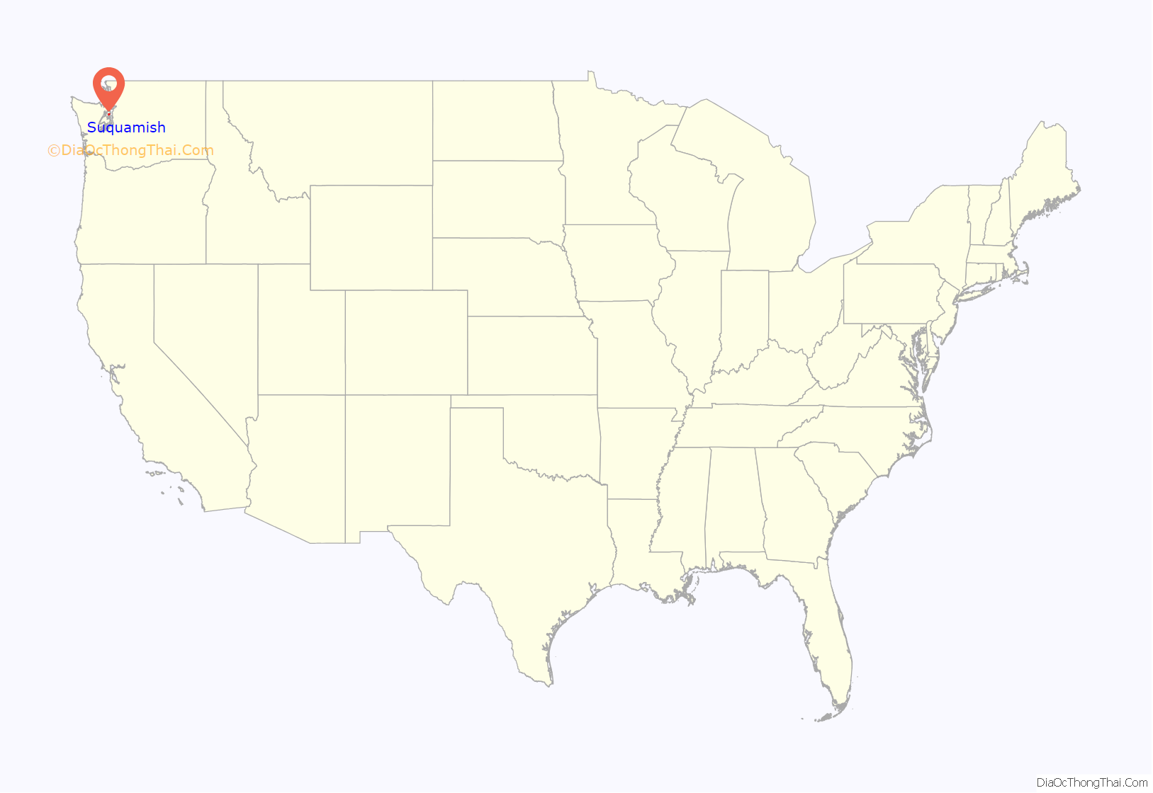
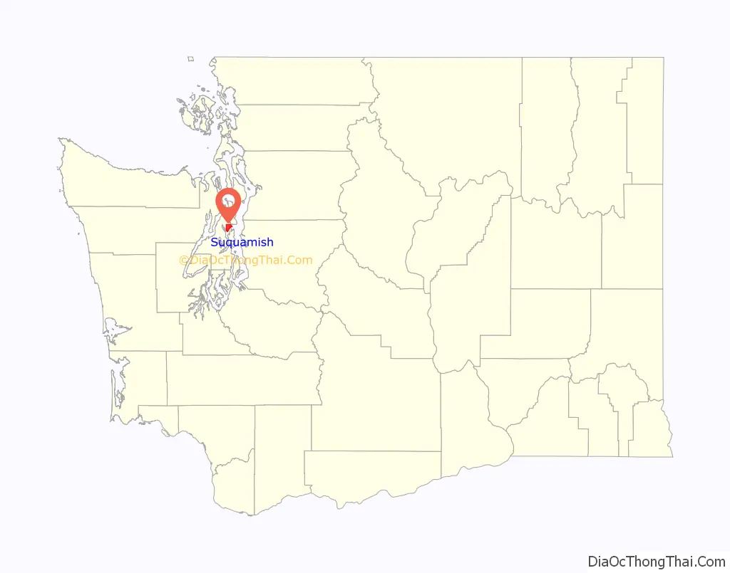
Suquamish location map. Where is Suquamish CDP?
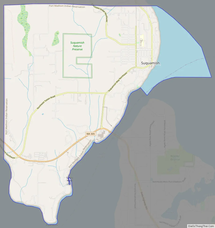
Suquamish Road Map
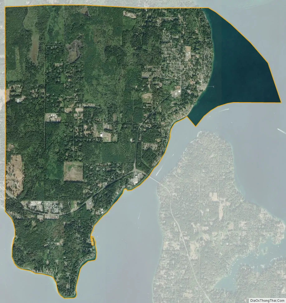
Suquamish city Satellite Map
Geography
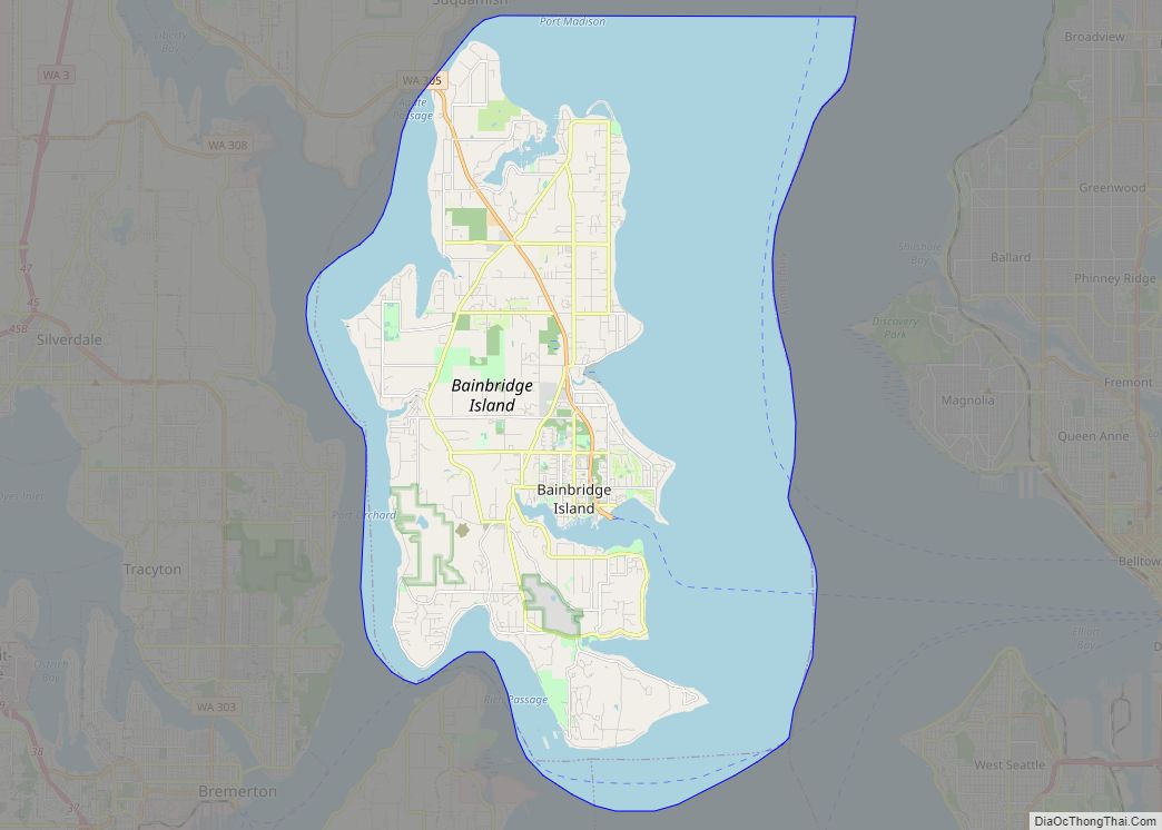
Suquamish is located in northern Kitsap County at 47°43′51″N 122°33′52″W / 47.730901°N 122.564456°W / 47.730901; -122.564456 (47.730901, -122.564456), across Agate Passage from Bainbridge Island. The village of Suquamish is in the northeast part of the CDP, and Washington State Route 305 crosses the southern part, leading southeast across the Agate Pass Bridge to Bainbridge Island and west 4 miles (6 km) to Poulsbo.
According to the United States Census Bureau, the Suquamish CDP has a total area of 7.6 square miles (19.7 km), of which 6.8 square miles (17.7 km) are land and 0.77 square miles (2.0 km), or 10.21%, are water.
See also
Map of Washington State and its subdivision:- Adams
- Asotin
- Benton
- Chelan
- Clallam
- Clark
- Columbia
- Cowlitz
- Douglas
- Ferry
- Franklin
- Garfield
- Grant
- Grays Harbor
- Island
- Jefferson
- King
- Kitsap
- Kittitas
- Klickitat
- Lewis
- Lincoln
- Mason
- Okanogan
- Pacific
- Pend Oreille
- Pierce
- San Juan
- Skagit
- Skamania
- Snohomish
- Spokane
- Stevens
- Thurston
- Wahkiakum
- Walla Walla
- Whatcom
- Whitman
- Yakima
- Alabama
- Alaska
- Arizona
- Arkansas
- California
- Colorado
- Connecticut
- Delaware
- District of Columbia
- Florida
- Georgia
- Hawaii
- Idaho
- Illinois
- Indiana
- Iowa
- Kansas
- Kentucky
- Louisiana
- Maine
- Maryland
- Massachusetts
- Michigan
- Minnesota
- Mississippi
- Missouri
- Montana
- Nebraska
- Nevada
- New Hampshire
- New Jersey
- New Mexico
- New York
- North Carolina
- North Dakota
- Ohio
- Oklahoma
- Oregon
- Pennsylvania
- Rhode Island
- South Carolina
- South Dakota
- Tennessee
- Texas
- Utah
- Vermont
- Virginia
- Washington
- West Virginia
- Wisconsin
- Wyoming