Tekoa (/ˈtikoʊ/ TEE-koh) is a small farming town in Whitman County, Washington, United States. The population was 778 at the 2010 census.
Based on per capita income, one of the more reliable measures of affluence, Tekoa ranks 420th of 522 areas in the state of Washington to be ranked.
The town is centered in the rolling fields of the Palouse and features the landmark Milwaukee Road Bridge, a railroad trestle, as well as the John Wayne Trail. Tekoa is also known for its historic Empire Theatre, built in 1940 in an art-deco style, that the town’s citizens have lovingly restored. The town beholds few shops and even fewer restaurants to stop at while traveling the Palouse Scenic Byway (Highway 27).
Every June, the town of Tekoa holds their annual celebration, the Slippery Gulch Festival, featuring a parade, egg toss, and fireworks.
| Name: | Tekoa city |
|---|---|
| LSAD Code: | 25 |
| LSAD Description: | city (suffix) |
| State: | Washington |
| County: | Whitman County |
| Elevation: | 2,533 ft (772 m) |
| Total Area: | 1.23 sq mi (3.18 km²) |
| Land Area: | 1.23 sq mi (3.18 km²) |
| Water Area: | 0.00 sq mi (0.00 km²) |
| Total Population: | 778 |
| Population Density: | 651.71/sq mi (251.64/km²) |
| ZIP code: | 99033 |
| Area code: | 509 |
| FIPS code: | 5370560 |
| GNISfeature ID: | 1508933 |
| Website: | www.tekoawa.com |
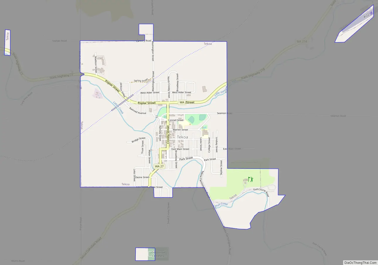
Online Interactive Map
Click on ![]() to view map in "full screen" mode.
to view map in "full screen" mode.
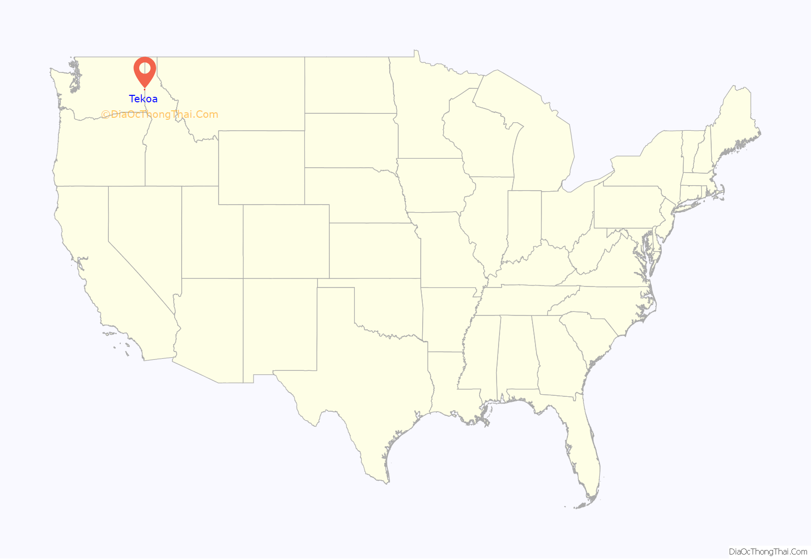
Tekoa location map. Where is Tekoa city?
History
The area that includes the present-day Town of Tekoa was settled by the Coeur d’Alene people. In 1886, David A. Huffman and George T. Huffman settled there. The townsite was platted in 1888 and was named after the Biblical town.
Tekoa was incorporated in 1889 with just under 300 people at the base of Tekoa Mountain (elevation 2,490 feet), on the extreme eastern end of the Palouse, and to the west of the Benewah Range of Idaho. By 1910 the population had grown to 1,694. Over the next 60 years, Tekoa began a population decline. Mechanized farming reduced the need for workers, and the automobile age came into being, as well as the abandonment of the railway. By 1990 the town had fewer than 750 residents. During the 1990s the town increased in popularity and the population rose to 826 at the 2000 census.
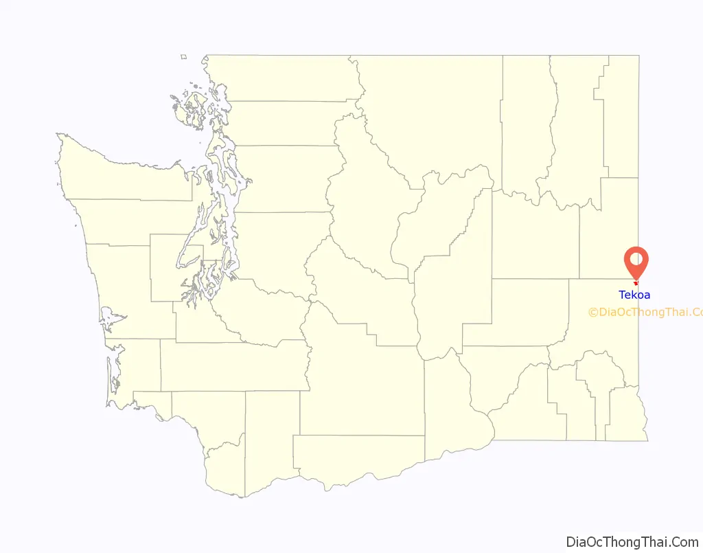
Tekoa Road Map
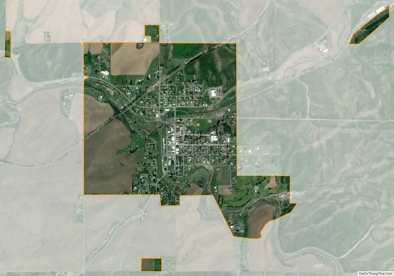
Tekoa city Satellite Map
Geography
Tekoa is located at 47°13′29″N 117°4′25″W / 47.22472°N 117.07361°W / 47.22472; -117.07361 (47.224704, -117.073607).
The zip code is 99033.
According to the United States Census Bureau, the city has a total area of 1.14 square miles (2.95 km), all of it land.
Tekoa is located at the confluence where Little Hangman Creek enters Latah Creek.
Climate
This region experiences warm (but not hot) and dry summers, with no average monthly temperatures above 71.6 °F. According to the Köppen Climate Classification system, Tekoa has a warm-summer Mediterranean climate, abbreviated “Csb” on climate maps.
See also
Map of Washington State and its subdivision:- Adams
- Asotin
- Benton
- Chelan
- Clallam
- Clark
- Columbia
- Cowlitz
- Douglas
- Ferry
- Franklin
- Garfield
- Grant
- Grays Harbor
- Island
- Jefferson
- King
- Kitsap
- Kittitas
- Klickitat
- Lewis
- Lincoln
- Mason
- Okanogan
- Pacific
- Pend Oreille
- Pierce
- San Juan
- Skagit
- Skamania
- Snohomish
- Spokane
- Stevens
- Thurston
- Wahkiakum
- Walla Walla
- Whatcom
- Whitman
- Yakima
- Alabama
- Alaska
- Arizona
- Arkansas
- California
- Colorado
- Connecticut
- Delaware
- District of Columbia
- Florida
- Georgia
- Hawaii
- Idaho
- Illinois
- Indiana
- Iowa
- Kansas
- Kentucky
- Louisiana
- Maine
- Maryland
- Massachusetts
- Michigan
- Minnesota
- Mississippi
- Missouri
- Montana
- Nebraska
- Nevada
- New Hampshire
- New Jersey
- New Mexico
- New York
- North Carolina
- North Dakota
- Ohio
- Oklahoma
- Oregon
- Pennsylvania
- Rhode Island
- South Carolina
- South Dakota
- Tennessee
- Texas
- Utah
- Vermont
- Virginia
- Washington
- West Virginia
- Wisconsin
- Wyoming