Town and Country (often referred to locally as ‘Lynwood’) is a census-designated place (CDP) in Spokane County, Washington, United States. The population was 5,068 at the 2020 census.
| Name: | Town and Country CDP |
|---|---|
| LSAD Code: | 57 |
| LSAD Description: | CDP (suffix) |
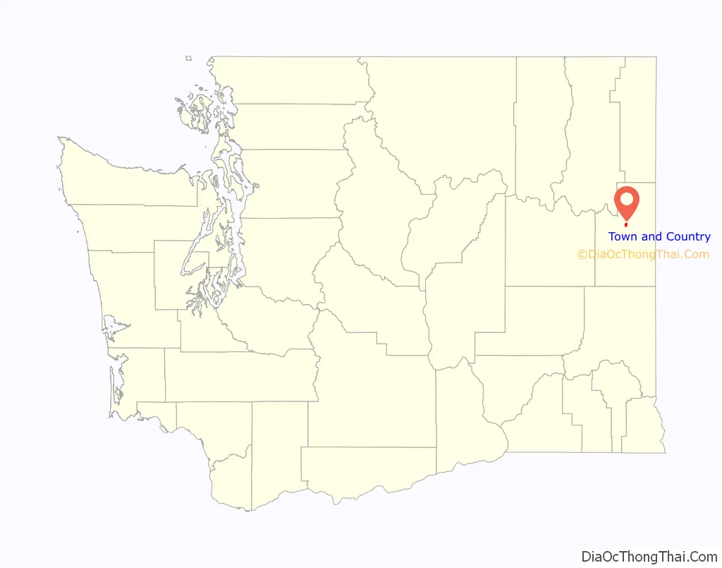
| State: | Washington |
| County: | Spokane County |
| Elevation: | 2,060 ft (628 m) |
| Total Area: | 1.2 sq mi (3 km²) |
| Land Area: | 1.2 sq mi (3 km²) |
| Water Area: | 0.0 sq mi (0 km²) |
| Total Population: | 5,068 |
| Population Density: | 4,223.3/sq mi (1,630.6/km²) |
| FIPS code: | 5372170 |
| GNISfeature ID: | 1867638 |
Online Interactive Map
Click on ![]() to view map in "full screen" mode.
to view map in "full screen" mode.
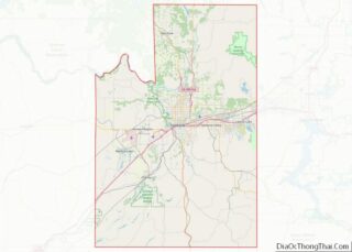
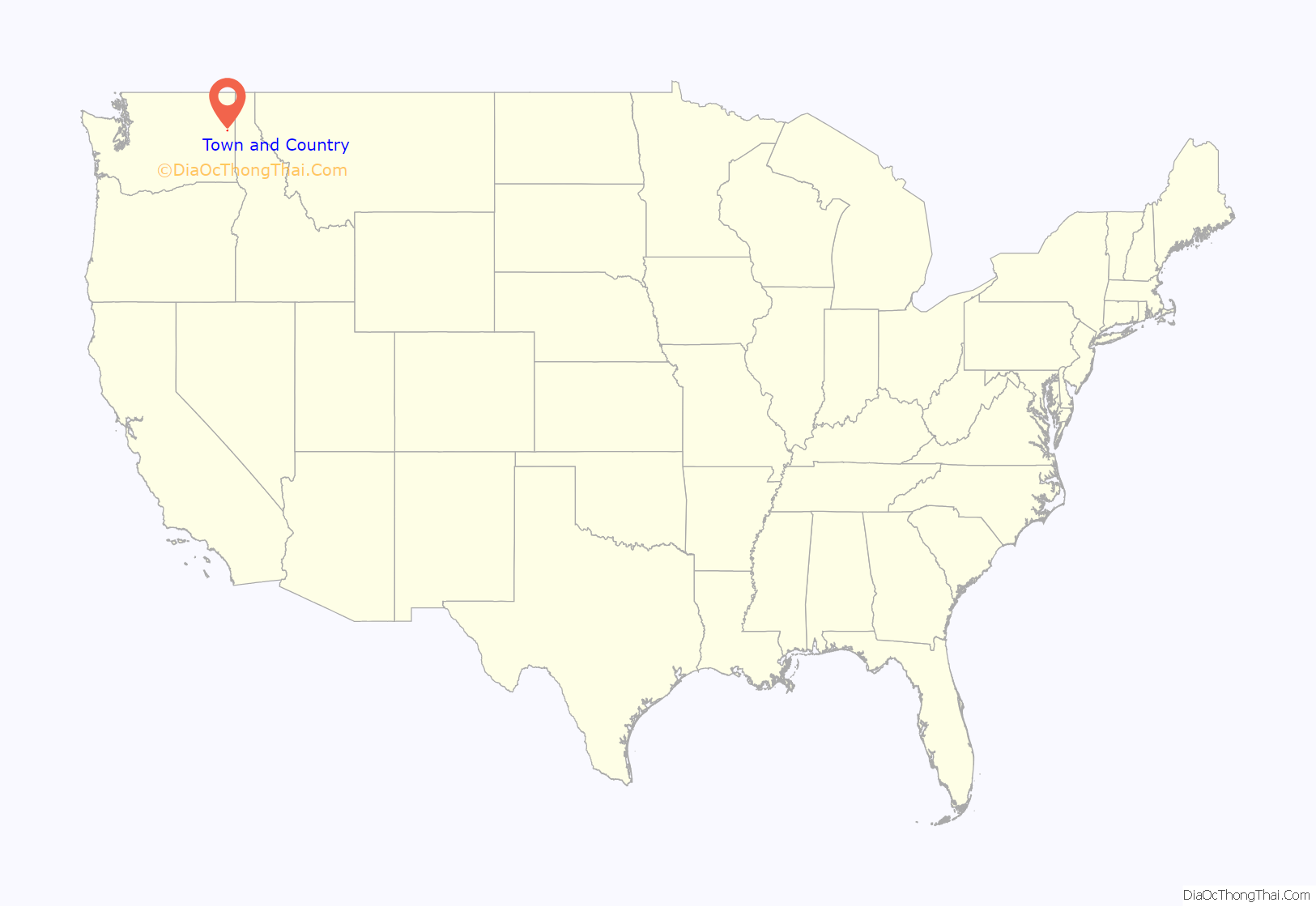
Town and Country location map. Where is Town and Country CDP?
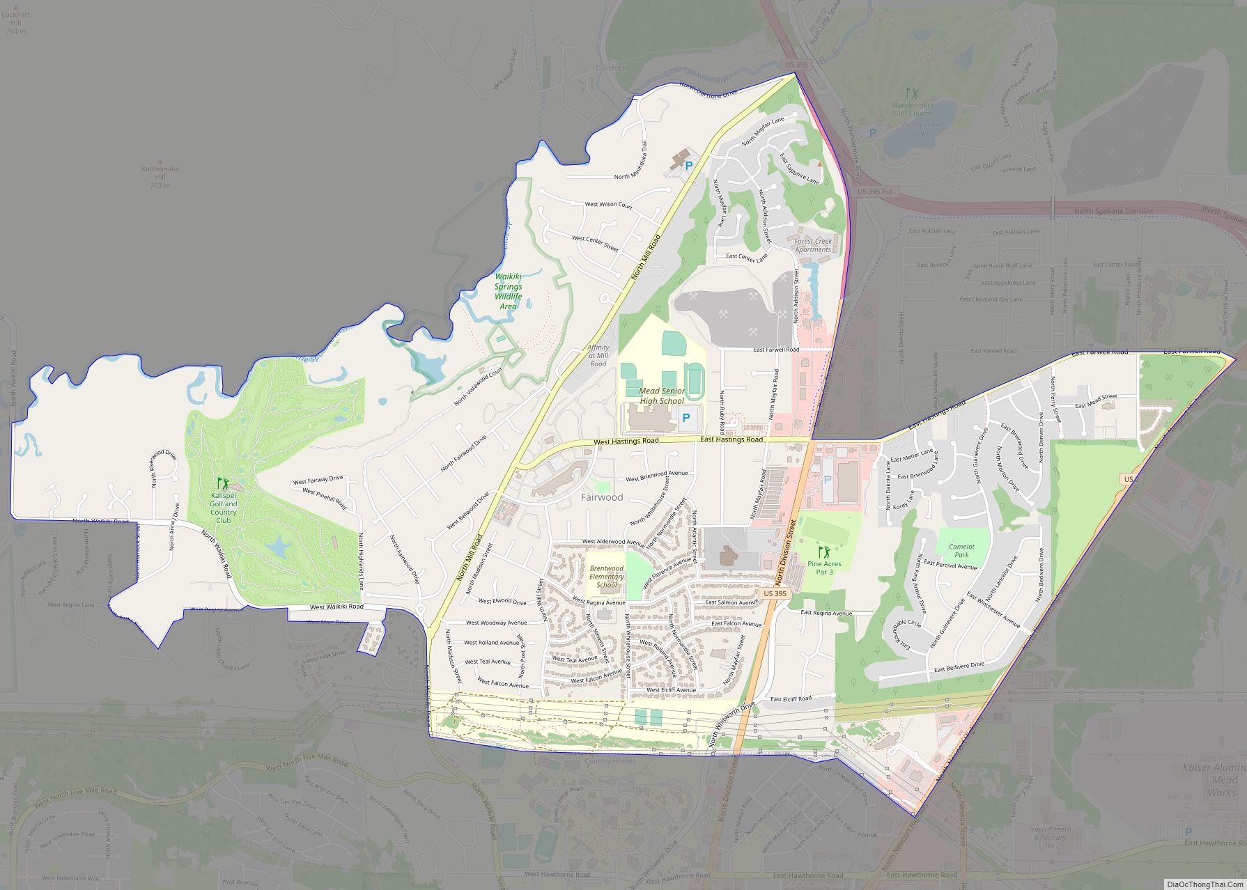
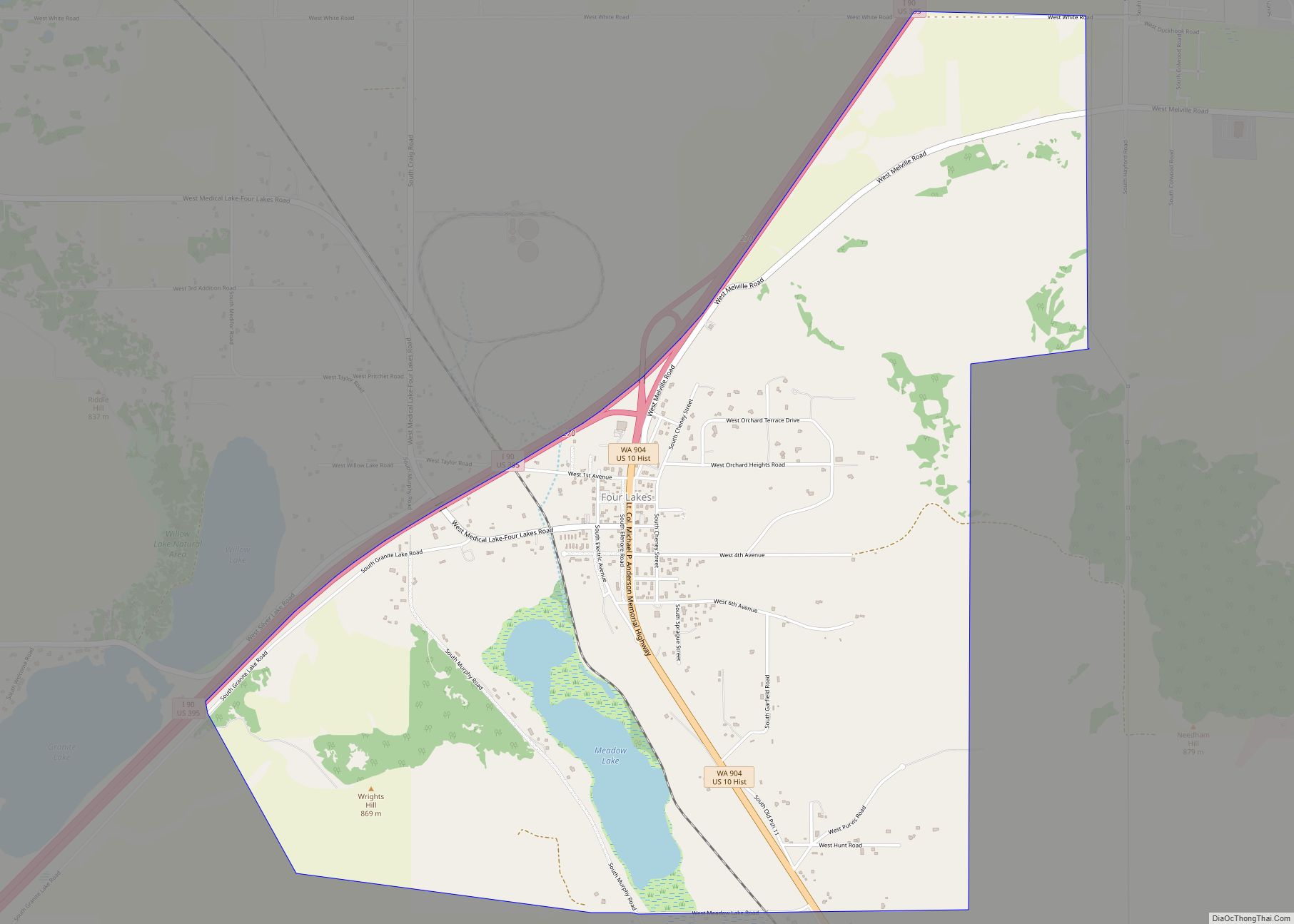
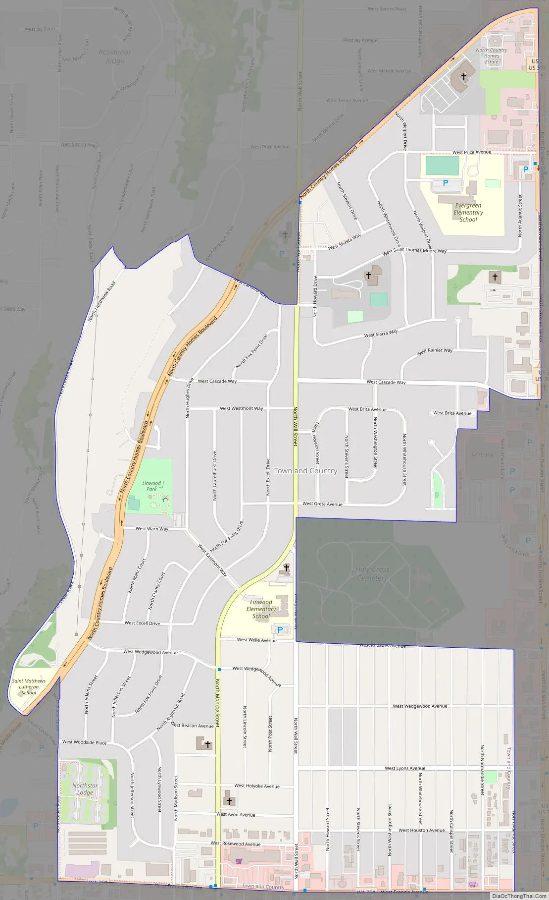
Town and Country Road Map
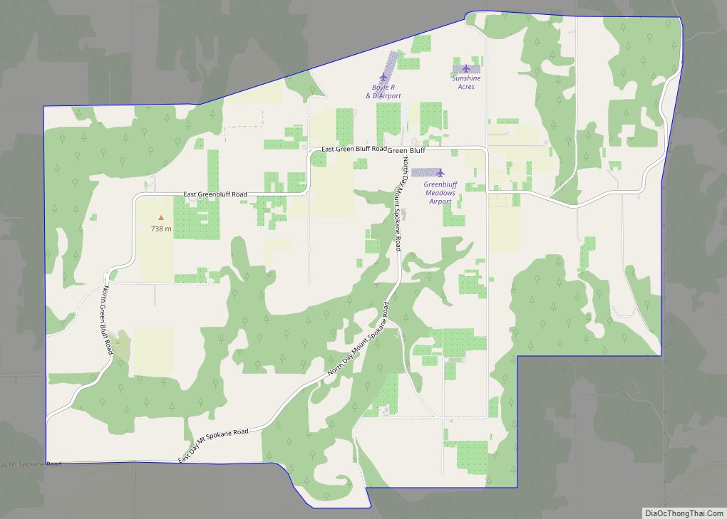
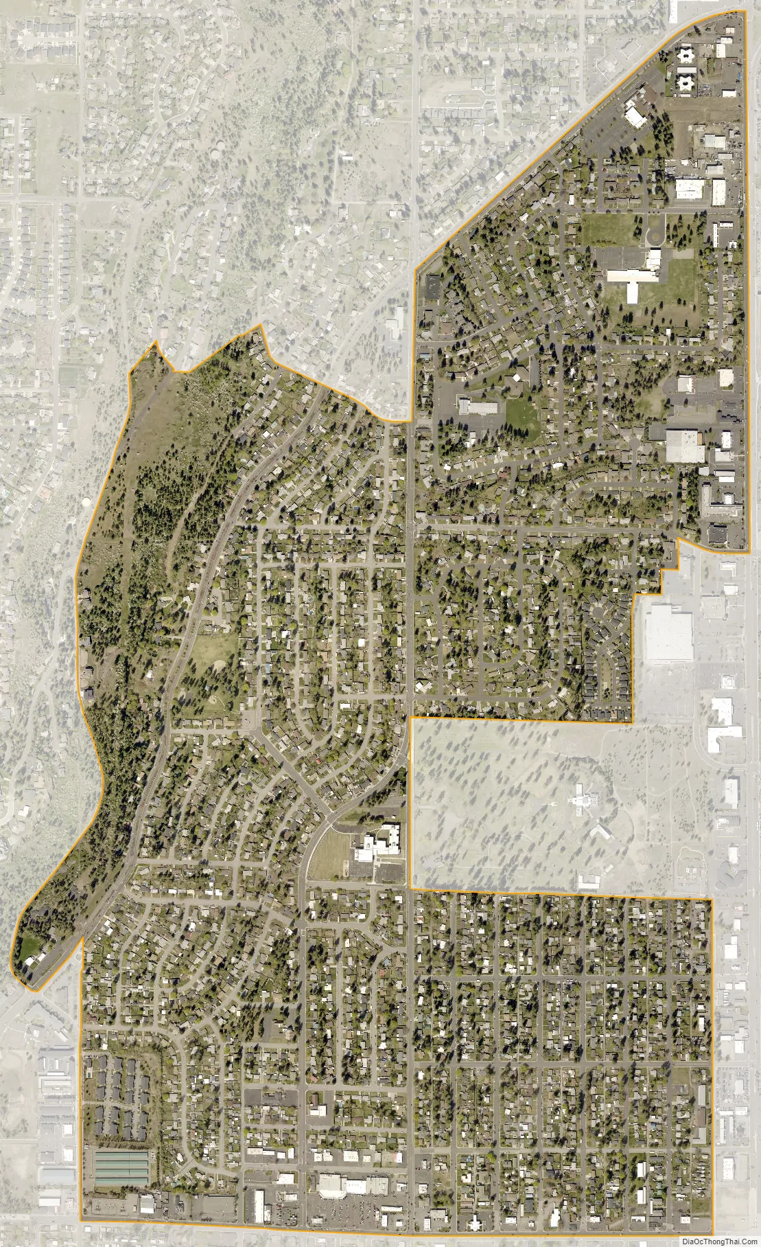
Town and Country city Satellite Map
Geography
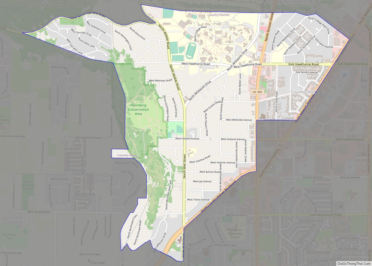
Town and Country is located at 47°43′17″N 117°25′17″W / 47.72139°N 117.42139°W / 47.72139; -117.42139 (47.721441, -117.421383). According to the United States Census Bureau, the CDP has a total area of 1.2 square miles (3.6 km), all of it land.
The city of Spokane surrounds the CDP on three sides: the east, south and west. The city’s street grid continues into Town and Country uninterrupted in the east, though it breaks down in the west along the bluff leading up to Five Mile Prairie. The bulk of the CDP lies on flat ground like the surrounding north side of Spokane. Along the west, however, the terrain rises rapidly from Town and Country’s elevation of roughly 2,000 feet to over 2,300 at the crest over less than 1,000 feet of distance in places.
As is the case with the city of Spokane to the east and south, Town and Country blends into its neighbor to the north, the CDP of Country Homes, Washington, seamlessly.
Francis Avenue, carrying Washington State Route 291, serves as Town and Country’s southern border, beyond which lies the North Hill neighborhood. Cedar Road is the western border, beginning on the flatland and then climbing the bluff towards the crest and into Five Mile Prairie. Most of the northern border with Country Homes runs along Country Homes Boulevard. Division Street, carrying U.S. Route 2 was the eastern border until 2008, when the city of Spokane annexed some of Town and Country. Division is still the eastern border from Country Homes Boulevard south to Lincoln Road. South of Lincoln the border works its way around the Holy Cross Cemetery, which used to be part of Country Homes, before following Atlantic Street, which runs parallel to and one block to the west of Division, for the four southernmost blocks of the CDP.
Most of Town and Country is zoned as low density residential, but there are commercial zones along Francis Avenue in the south and Division Street on the east.
See also
Map of Washington State and its subdivision:- Adams
- Asotin
- Benton
- Chelan
- Clallam
- Clark
- Columbia
- Cowlitz
- Douglas
- Ferry
- Franklin
- Garfield
- Grant
- Grays Harbor
- Island
- Jefferson
- King
- Kitsap
- Kittitas
- Klickitat
- Lewis
- Lincoln
- Mason
- Okanogan
- Pacific
- Pend Oreille
- Pierce
- San Juan
- Skagit
- Skamania
- Snohomish
- Spokane
- Stevens
- Thurston
- Wahkiakum
- Walla Walla
- Whatcom
- Whitman
- Yakima
- Alabama
- Alaska
- Arizona
- Arkansas
- California
- Colorado
- Connecticut
- Delaware
- District of Columbia
- Florida
- Georgia
- Hawaii
- Idaho
- Illinois
- Indiana
- Iowa
- Kansas
- Kentucky
- Louisiana
- Maine
- Maryland
- Massachusetts
- Michigan
- Minnesota
- Mississippi
- Missouri
- Montana
- Nebraska
- Nevada
- New Hampshire
- New Jersey
- New Mexico
- New York
- North Carolina
- North Dakota
- Ohio
- Oklahoma
- Oregon
- Pennsylvania
- Rhode Island
- South Carolina
- South Dakota
- Tennessee
- Texas
- Utah
- Vermont
- Virginia
- Washington
- West Virginia
- Wisconsin
- Wyoming