Union or Union City is a small census-designated place in Mason County, Washington, United States. The community lies along the southern shore of the Great Bend of the Hood Canal, near the mouth of the Skokomish River, which flows from the nearby Olympic Mountains. The U.S. Census reported a population of 631 inhabitants in the 2010 census. The ZIP Code for Union is 98592.
State Route 106 is the main route through Union, leading to Belfair farther north, and Potlatch and US Highway 101 to the south.
| Name: | Union CDP |
|---|---|
| LSAD Code: | 57 |
| LSAD Description: | CDP (suffix) |
| State: | Washington |
| County: | Mason County |
| Total Area: | 631 |
| ZIP code: | 98592 |
| Area code: | 360 |
| FIPS code: | 5373255 |
Online Interactive Map
Click on ![]() to view map in "full screen" mode.
to view map in "full screen" mode.
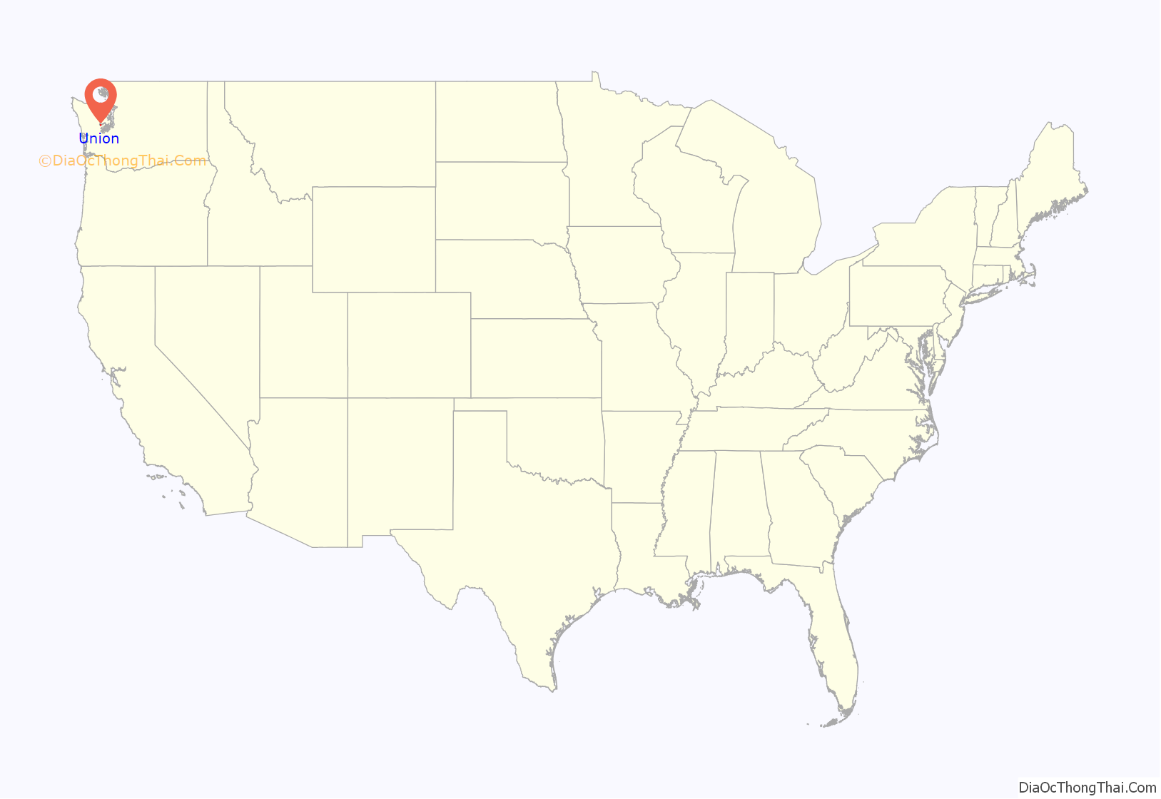
Union location map. Where is Union CDP?
History
The Hood Canal basin is the indigenous territory of several neighboring Native American communities, including the Skokomish and Squaxin peoples.
In the 1830s, white fur traders built a blockhouse on the bluff where Union. Settlers arrived in the area in the 1840s, with the future Union City site being claimed in 1852 by Thomas Webb or Wells. The town of Union was founded and named in 1858 by merchants Willson and Anderson.
In 1889, logging pioneer John McReavy platted Union City on Hood Canal’s south shore. The area’s logging operations worked at an unprecedented scale to supply the expansionist ethos of Manifest Destiny. Dozens of mills sent timber to the booming California goldfields and for the construction of the Panama Canal. The generation that followed McReavy’s drew inspiration from the surrounding landscape. Union society circulated around Olympus Manor, an artist colony that prospered until 1952 when the manor burned. It was the first non-native artist colony in Washington.
Union City was envisioned as the western terminus of a transcontinental railroad but the project was abandoned by the Union Pacific Railroad after the Panic of 1893.
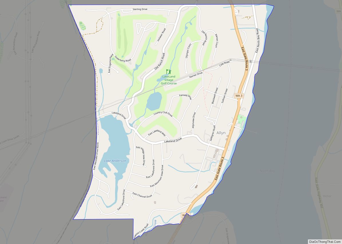
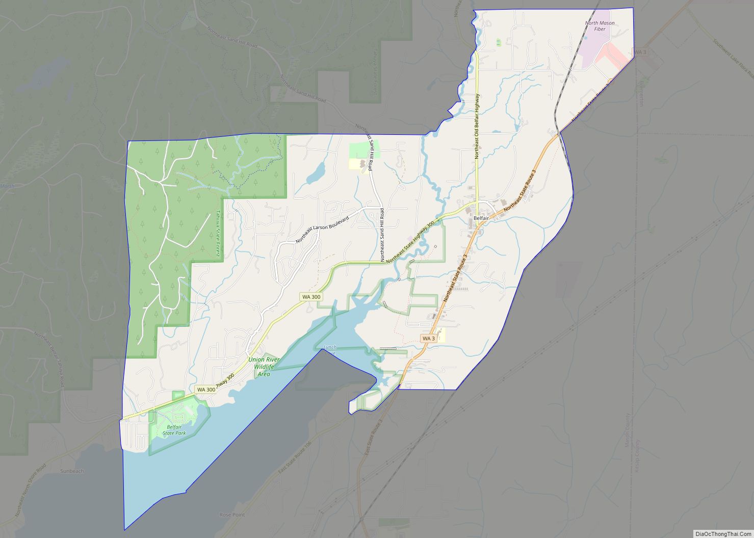
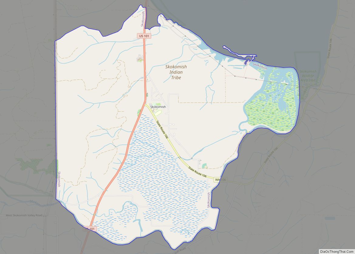
Union Road Map
Union city Satellite Map
See also
Map of Washington State and its subdivision:- Adams
- Asotin
- Benton
- Chelan
- Clallam
- Clark
- Columbia
- Cowlitz
- Douglas
- Ferry
- Franklin
- Garfield
- Grant
- Grays Harbor
- Island
- Jefferson
- King
- Kitsap
- Kittitas
- Klickitat
- Lewis
- Lincoln
- Mason
- Okanogan
- Pacific
- Pend Oreille
- Pierce
- San Juan
- Skagit
- Skamania
- Snohomish
- Spokane
- Stevens
- Thurston
- Wahkiakum
- Walla Walla
- Whatcom
- Whitman
- Yakima
- Alabama
- Alaska
- Arizona
- Arkansas
- California
- Colorado
- Connecticut
- Delaware
- District of Columbia
- Florida
- Georgia
- Hawaii
- Idaho
- Illinois
- Indiana
- Iowa
- Kansas
- Kentucky
- Louisiana
- Maine
- Maryland
- Massachusetts
- Michigan
- Minnesota
- Mississippi
- Missouri
- Montana
- Nebraska
- Nevada
- New Hampshire
- New Jersey
- New Mexico
- New York
- North Carolina
- North Dakota
- Ohio
- Oklahoma
- Oregon
- Pennsylvania
- Rhode Island
- South Carolina
- South Dakota
- Tennessee
- Texas
- Utah
- Vermont
- Virginia
- Washington
- West Virginia
- Wisconsin
- Wyoming
