Union Gap is a city in Yakima County, Washington, United States. As of the 2020 census, the city population was 6,568. Union Gap has become the retail hub for the entire Yakima Valley as a result of Valley Mall and other thriving businesses being located here. Part of the city is part of the Yakama Nation.
| Name: | Union Gap city |
|---|---|
| LSAD Code: | 25 |
| LSAD Description: | city (suffix) |
| State: | Washington |
| County: | Yakima County |
| Elevation: | 984 ft (300 m) |
| Total Area: | 5.58 sq mi (14.46 km²) |
| Land Area: | 5.58 sq mi (14.44 km²) |
| Water Area: | 0.01 sq mi (0.01 km²) |
| Total Population: | 6,568 |
| Population Density: | 1,111.91/sq mi (429.28/km²) |
| ZIP code: | 98901, 98903 |
| Area code: | 509 |
| FIPS code: | 5373290 |
| GNISfeature ID: | 1512750 |
| Website: | uniongapwa.gov |
Online Interactive Map
Click on ![]() to view map in "full screen" mode.
to view map in "full screen" mode.
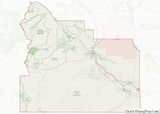
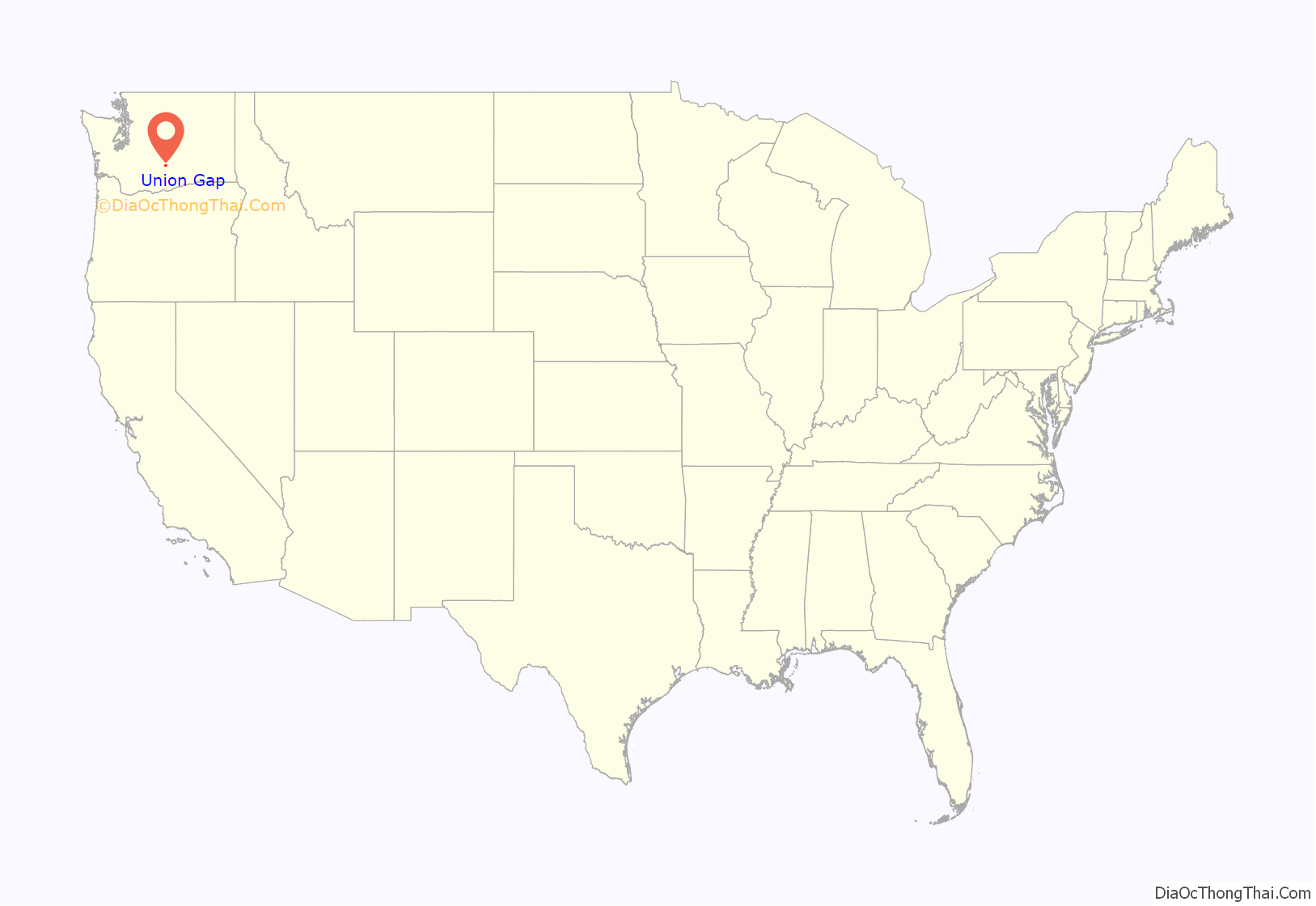
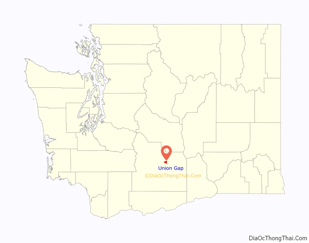
Union Gap location map. Where is Union Gap city?
History
The city of Union Gap was originally named Yakima City and was officially incorporated on November 23, 1883. When bypassed by the Northern Pacific Railroad in December 1884, over 100 buildings were moved with rollers and horse teams to the nearby site of the depot. The new city was dubbed North Yakima. In 1918 North Yakima was changed to simply Yakima, and the original town to the south was named Union Gap.
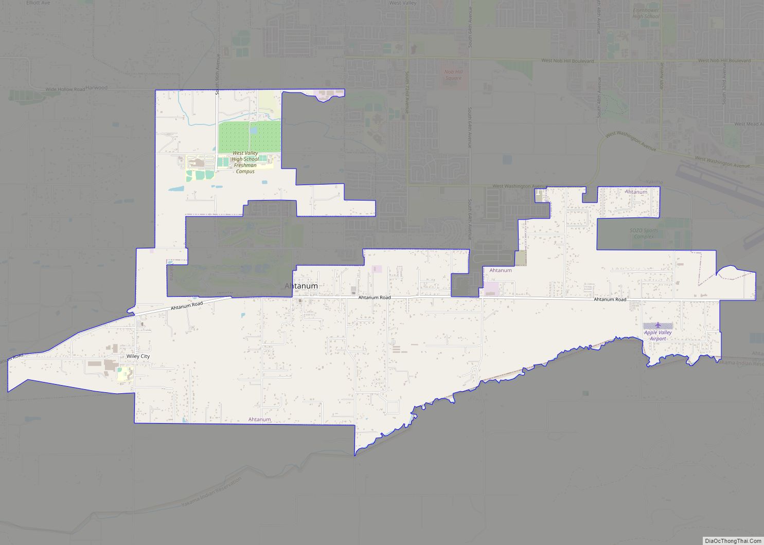
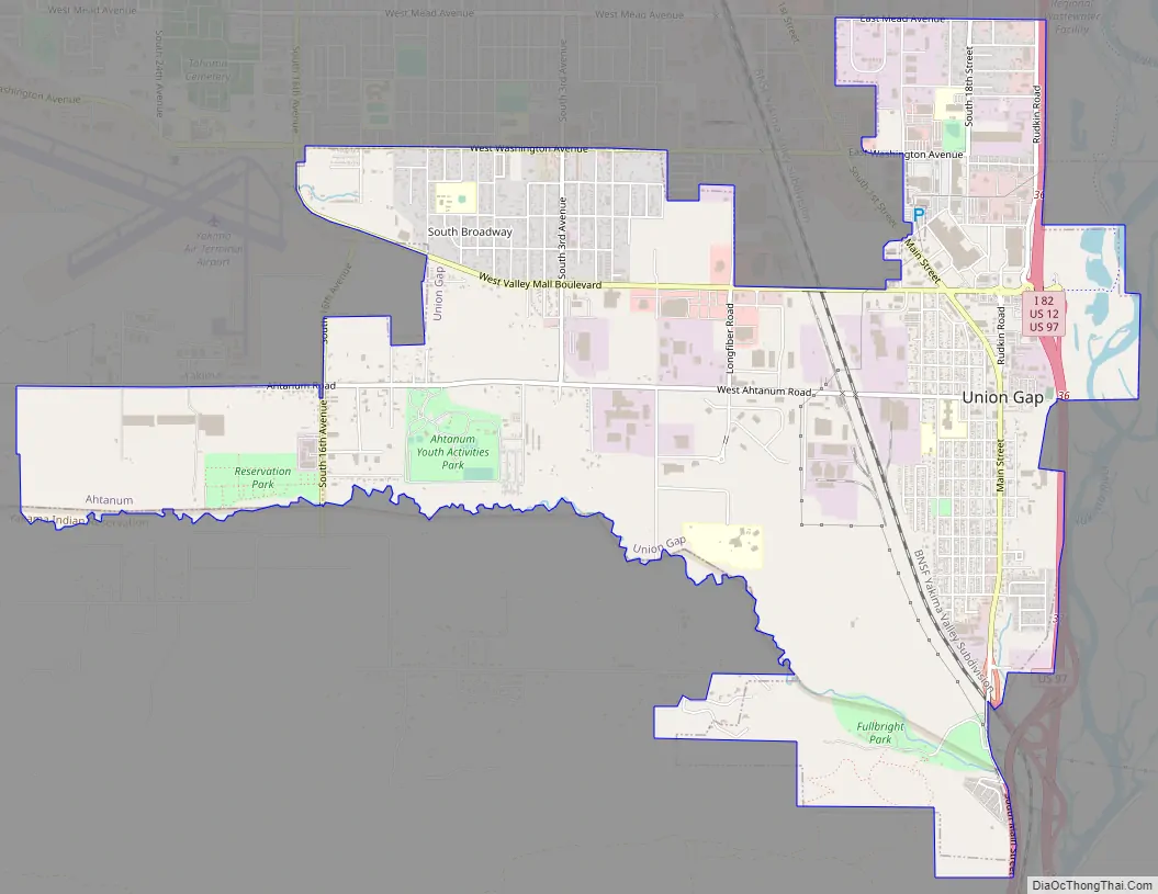
Union Gap Road Map
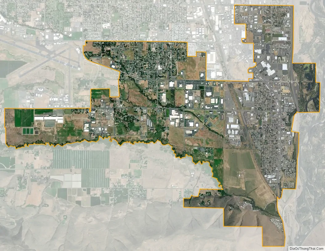
Union Gap city Satellite Map
Geography
Union Gap is located at 46°33′30″N 120°29′26″W / 46.55833°N 120.49056°W / 46.55833; -120.49056 (46.558237, -120.490566).
According to the United States Census Bureau, the city has a total area of 5.06 square miles (13.11 km), of which, 5.05 square miles (13.08 km) is land and 0.01 square miles (0.03 km) is water.
See also
Map of Washington State and its subdivision:- Adams
- Asotin
- Benton
- Chelan
- Clallam
- Clark
- Columbia
- Cowlitz
- Douglas
- Ferry
- Franklin
- Garfield
- Grant
- Grays Harbor
- Island
- Jefferson
- King
- Kitsap
- Kittitas
- Klickitat
- Lewis
- Lincoln
- Mason
- Okanogan
- Pacific
- Pend Oreille
- Pierce
- San Juan
- Skagit
- Skamania
- Snohomish
- Spokane
- Stevens
- Thurston
- Wahkiakum
- Walla Walla
- Whatcom
- Whitman
- Yakima
- Alabama
- Alaska
- Arizona
- Arkansas
- California
- Colorado
- Connecticut
- Delaware
- District of Columbia
- Florida
- Georgia
- Hawaii
- Idaho
- Illinois
- Indiana
- Iowa
- Kansas
- Kentucky
- Louisiana
- Maine
- Maryland
- Massachusetts
- Michigan
- Minnesota
- Mississippi
- Missouri
- Montana
- Nebraska
- Nevada
- New Hampshire
- New Jersey
- New Mexico
- New York
- North Carolina
- North Dakota
- Ohio
- Oklahoma
- Oregon
- Pennsylvania
- Rhode Island
- South Carolina
- South Dakota
- Tennessee
- Texas
- Utah
- Vermont
- Virginia
- Washington
- West Virginia
- Wisconsin
- Wyoming