Union Hill-Novelty Hill is a census-designated place (CDP) in King County, Washington, United States. The area was first recognized by the Census Bureau in the 2000 census. The population was 18,805 at the 2010 census.
Based on per capita income, Union Hill-Novelty Hill ranks 5th of 522 areas in the state of Washington to be ranked.
| Name: | Union Hill-Novelty Hill CDP |
|---|---|
| LSAD Code: | 57 |
| LSAD Description: | CDP (suffix) |
| State: | Washington |
| County: | King County |
| Elevation: | 515 ft (157 m) |
| Total Area: | 24.32 sq mi (62.98 km²) |
| Land Area: | 24.23 sq mi (62.75 km²) |
| Water Area: | 0.09 sq mi (0.23 km²) |
| Total Population: | 18,805 |
| Population Density: | 776/sq mi (299.7/km²) |
| FIPS code: | 5373307 |
| GNISfeature ID: | 2409379 |
Online Interactive Map
Click on ![]() to view map in "full screen" mode.
to view map in "full screen" mode.
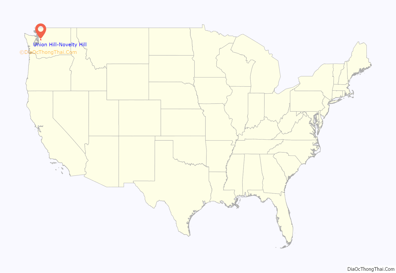
Union Hill-Novelty Hill location map. Where is Union Hill-Novelty Hill CDP?
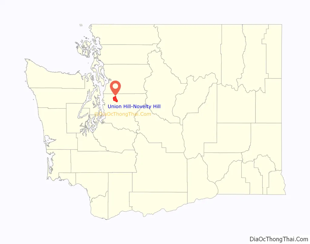
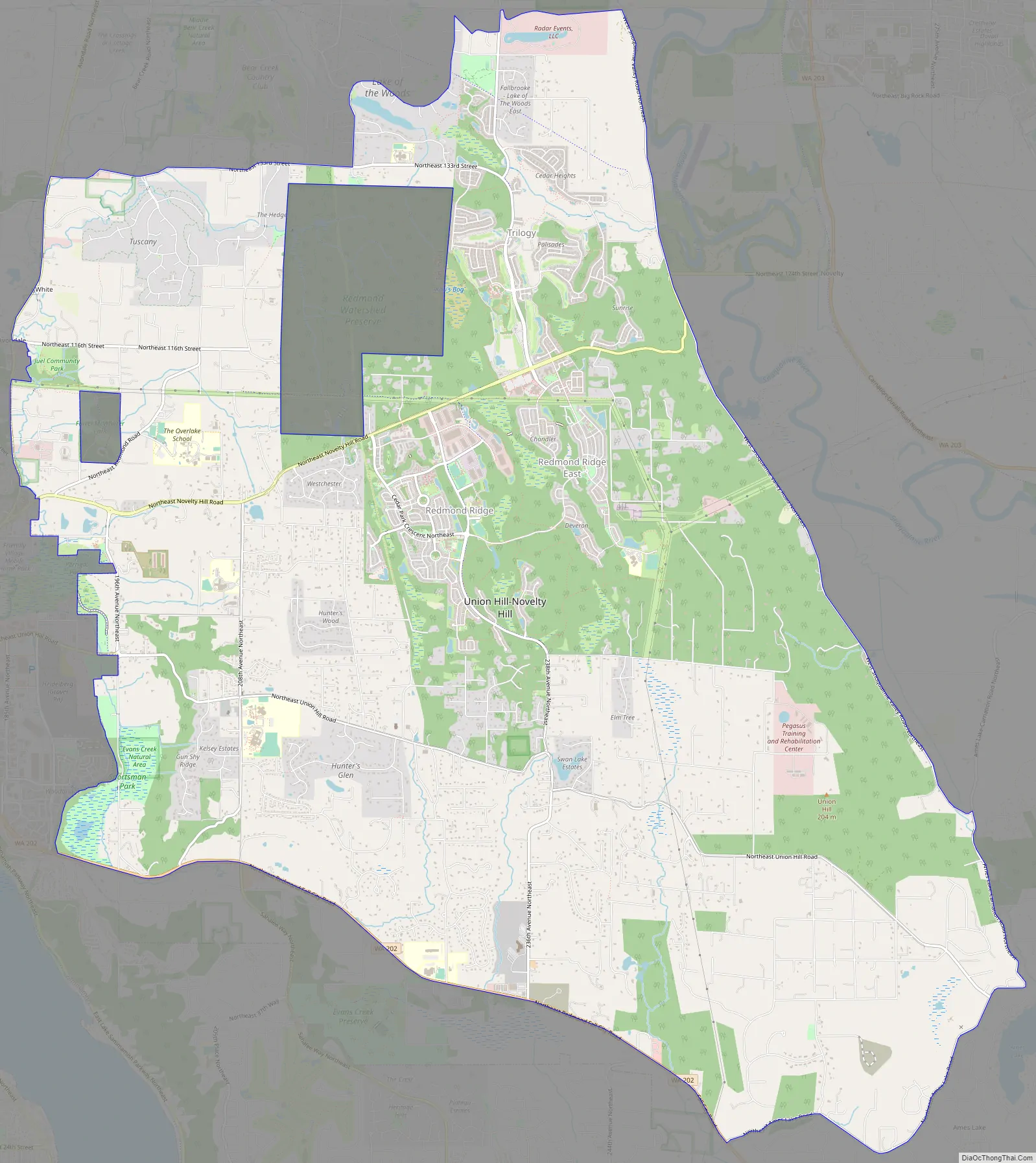
Union Hill-Novelty Hill Road Map
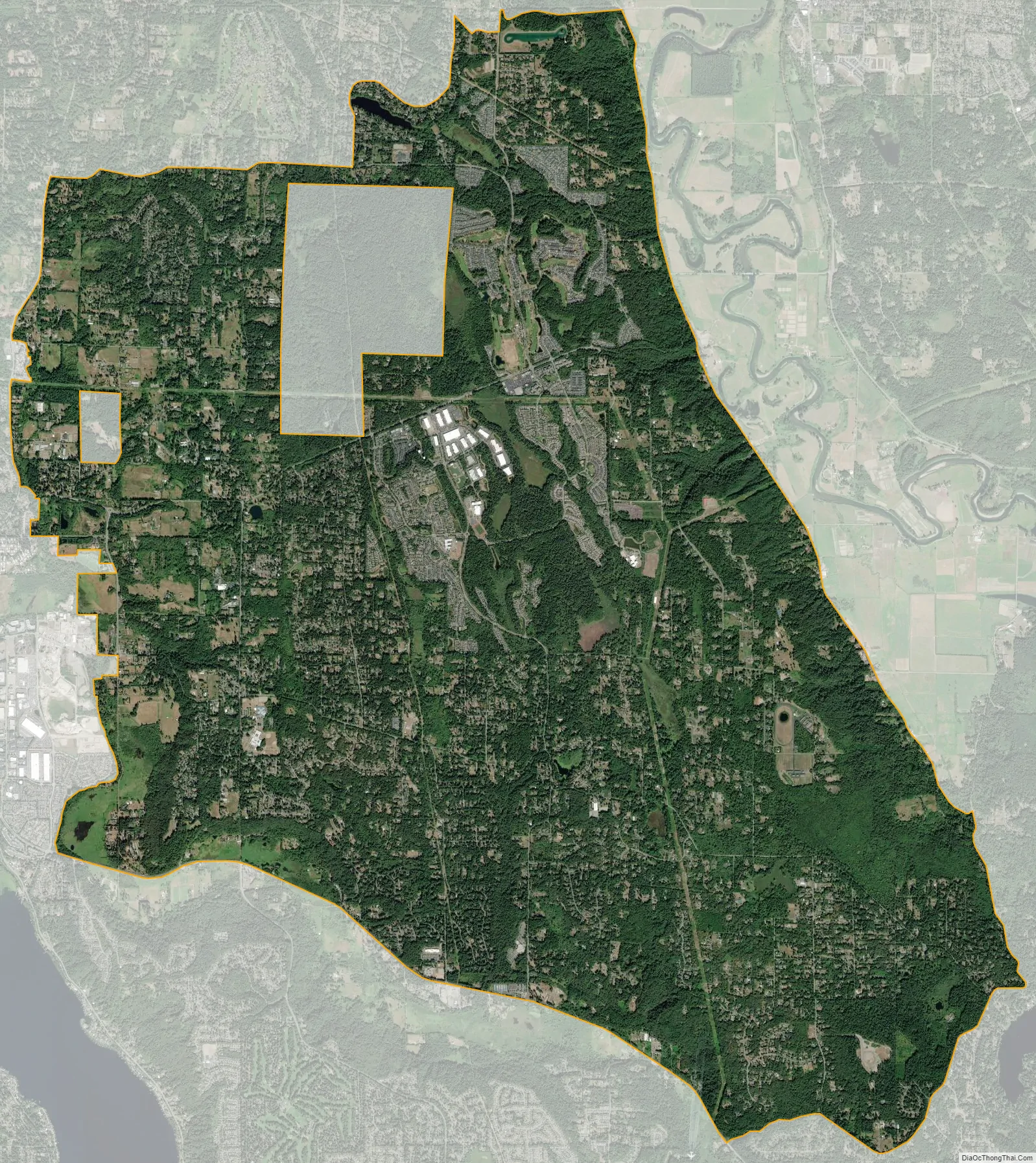
Union Hill-Novelty Hill city Satellite Map
Geography
Union Hill-Novelty Hill is located in northern King County at 47°40′43″N 122°2′57″W / 47.67861°N 122.04917°W / 47.67861; -122.04917 (47.678674, −122.049198). It is bordered to the west by the city of Redmond, and a separate portion of the city, comprising the Redmond Watershed Preserve, is surrounded by the northern part of the CDP. To the north is the Cottage Lake CDP, and Washington State Route 202 runs along the southern edge of the community in the valley of Evans Creek and Patterson Creek. The Ames Lake CDP is to the southeast, and downtown Seattle is 20 miles (32 km) to the southwest.
According to the United States Census Bureau, the Union Hill-Novelty Hill CDP has a total area of 24.3 square miles (63.0 km), of which 24.2 square miles (62.8 km) are land and 0.1 square miles (0.2 km), or 0.36%, are water.
See also
Map of Washington State and its subdivision:- Adams
- Asotin
- Benton
- Chelan
- Clallam
- Clark
- Columbia
- Cowlitz
- Douglas
- Ferry
- Franklin
- Garfield
- Grant
- Grays Harbor
- Island
- Jefferson
- King
- Kitsap
- Kittitas
- Klickitat
- Lewis
- Lincoln
- Mason
- Okanogan
- Pacific
- Pend Oreille
- Pierce
- San Juan
- Skagit
- Skamania
- Snohomish
- Spokane
- Stevens
- Thurston
- Wahkiakum
- Walla Walla
- Whatcom
- Whitman
- Yakima
- Alabama
- Alaska
- Arizona
- Arkansas
- California
- Colorado
- Connecticut
- Delaware
- District of Columbia
- Florida
- Georgia
- Hawaii
- Idaho
- Illinois
- Indiana
- Iowa
- Kansas
- Kentucky
- Louisiana
- Maine
- Maryland
- Massachusetts
- Michigan
- Minnesota
- Mississippi
- Missouri
- Montana
- Nebraska
- Nevada
- New Hampshire
- New Jersey
- New Mexico
- New York
- North Carolina
- North Dakota
- Ohio
- Oklahoma
- Oregon
- Pennsylvania
- Rhode Island
- South Carolina
- South Dakota
- Tennessee
- Texas
- Utah
- Vermont
- Virginia
- Washington
- West Virginia
- Wisconsin
- Wyoming


