University Place is a city in Pierce County, Washington, United States. Its population was 34,866 at the 2020 census.
Based on per capita income, University Place ranks 81st of 522 areas in the state of Washington to be ranked.
| Name: | University Place city |
|---|---|
| LSAD Code: | 25 |
| LSAD Description: | city (suffix) |
| State: | Washington |
| County: | Pierce County |
| Elevation: | 200 ft (61 m) |
| Total Area: | 8.51 sq mi (22.03 km²) |
| Land Area: | 8.34 sq mi (21.60 km²) |
| Water Area: | 0.17 sq mi (0.44 km²) |
| Total Population: | 34,866 |
| Population Density: | 4,076.86/sq mi (1,574.17/km²) |
| ZIP code: | 98464, 98466, 98467 |
| Area code: | 253 |
| FIPS code: | 5373465 |
| GNISfeature ID: | 1512752 |
| Website: | cityofup.com |
Online Interactive Map
Click on ![]() to view map in "full screen" mode.
to view map in "full screen" mode.
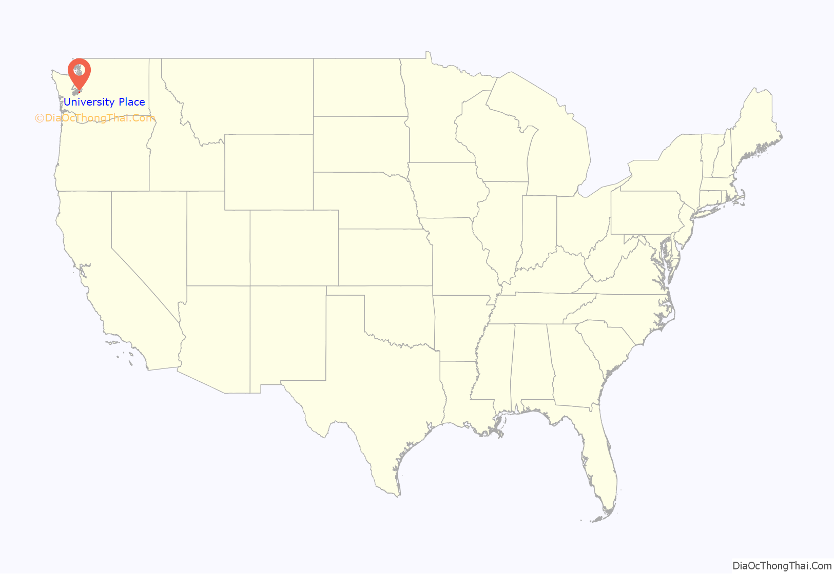
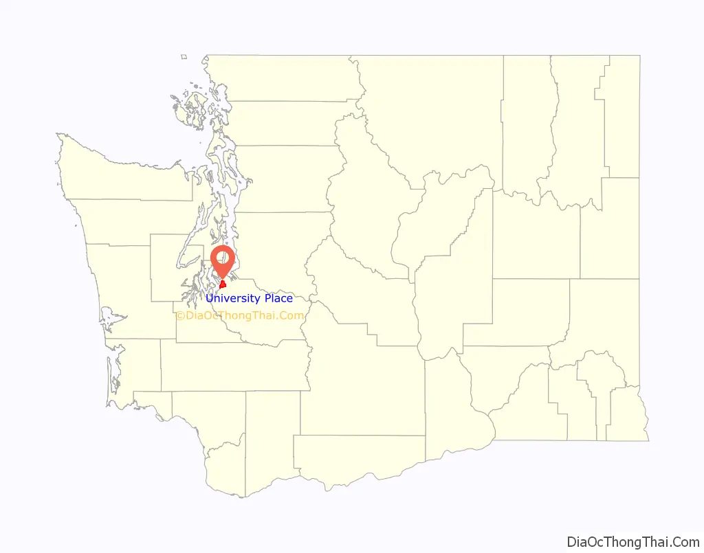
University Place location map. Where is University Place city?
History
University Place received its name in the 1800s when the University of Puget Sound, a private liberal-arts college in North Tacoma, purchased land along the primary north–south route of Grandview Drive. The school sought to build a new campus there, but ended up selling the land back to the city for about $11,000. University Place remained an unincorporated part of Pierce County until the City of University Place was formed on August 31, 1995.
Today, University Place is largely suburban in character and functions as a mixed business and residential area with waterfront on the Puget Sound. The town is home to Curtis Senior High School and Charles Wright Academy.
Chambers Bay golf course opened in 2007 to favorable reviews. A Scottish links-style course, Chambers Bay hosted the 2010 U.S. Amateur and the 2015 U.S. Open.
University Place’s news is primarily covered by The News Tribune (Tacoma), and is also covered by University Place Patch, a hyper-local news website that launched in October 2010, and sometimes by news media in Seattle. Earlier newspapers for the community were the weekly Suburban Times (1970s), published by Dave Sclair (who, starting in 1970, also published Western Flyer); and, in the 1980s, the Lakewood Press, published by Grace T. Eubanks and later Dane S. Claussen, which launched the University Place Press as a monthly and then biweekly before it folded in early 1989.
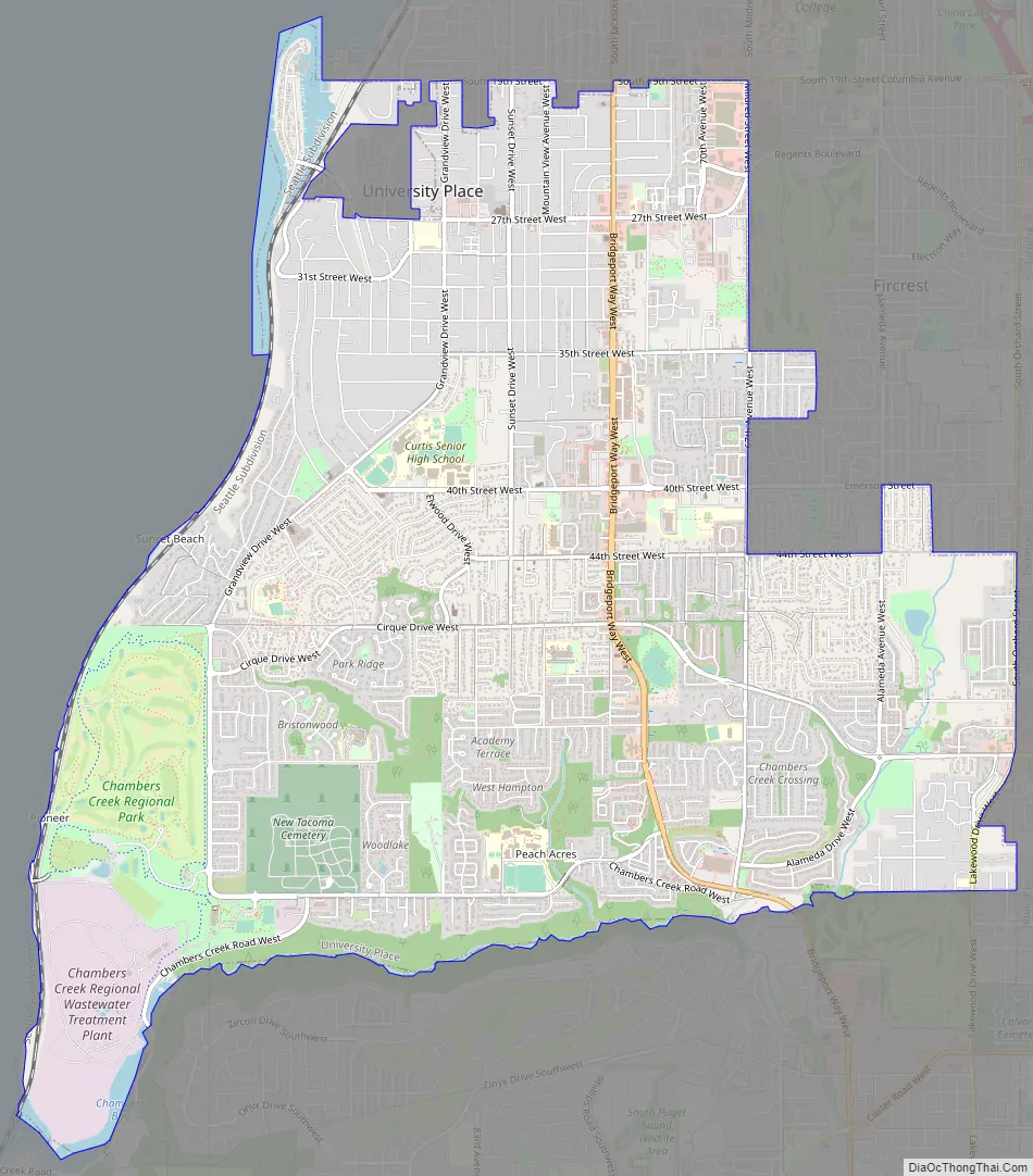
University Place Road Map
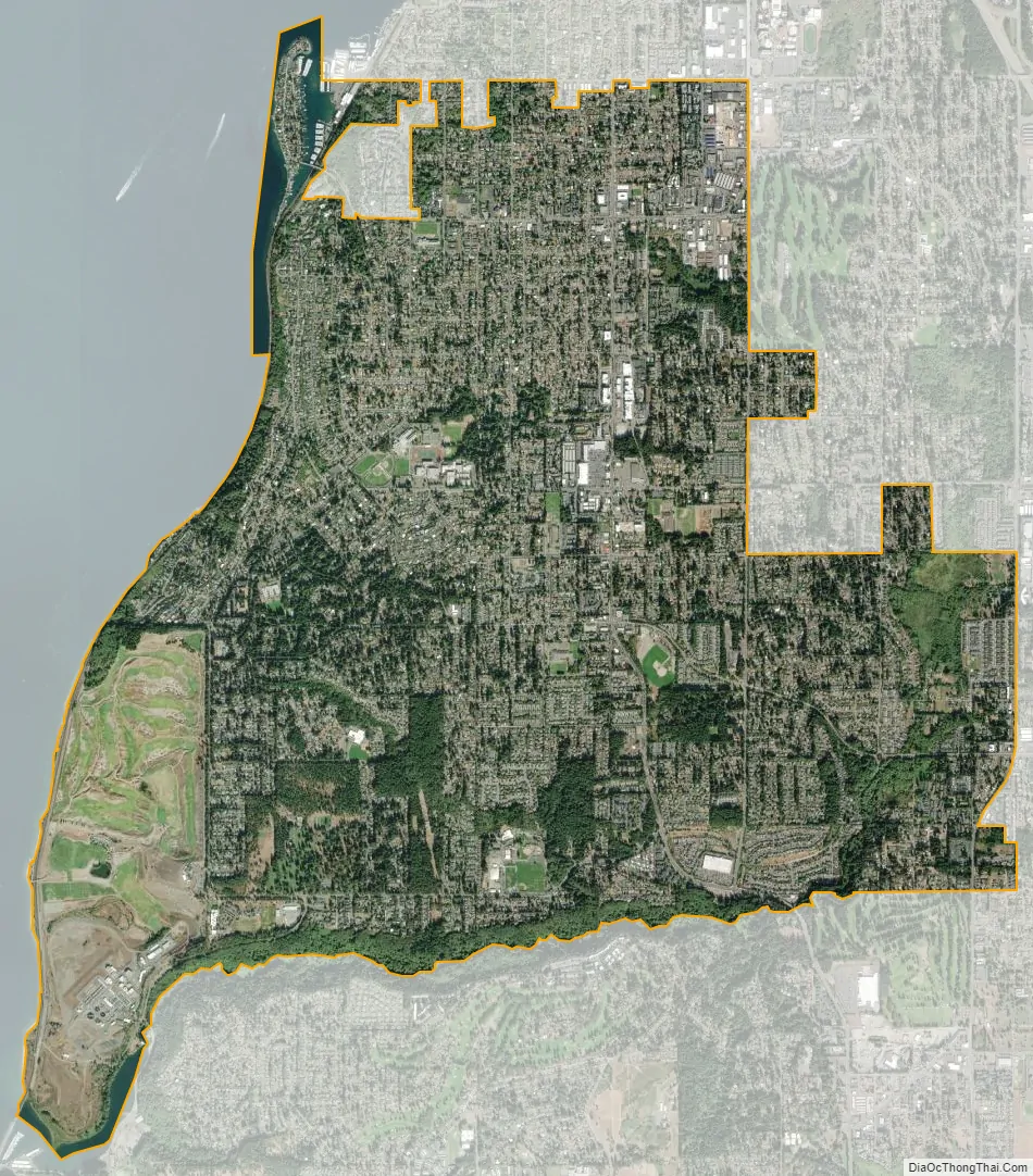
University Place city Satellite Map
Geography
University Place is located at 47°13′10″N 122°32′30″W / 47.21944°N 122.54167°W / 47.21944; -122.54167 (47.219545, -122.541610).
According to the United States Census Bureau, the city has a total area of 8.56 square miles (22.17 km), of which, 8.42 square miles (21.81 km) is land and 0.14 square miles (0.36 km) is water.
See also
Map of Washington State and its subdivision:- Adams
- Asotin
- Benton
- Chelan
- Clallam
- Clark
- Columbia
- Cowlitz
- Douglas
- Ferry
- Franklin
- Garfield
- Grant
- Grays Harbor
- Island
- Jefferson
- King
- Kitsap
- Kittitas
- Klickitat
- Lewis
- Lincoln
- Mason
- Okanogan
- Pacific
- Pend Oreille
- Pierce
- San Juan
- Skagit
- Skamania
- Snohomish
- Spokane
- Stevens
- Thurston
- Wahkiakum
- Walla Walla
- Whatcom
- Whitman
- Yakima
- Alabama
- Alaska
- Arizona
- Arkansas
- California
- Colorado
- Connecticut
- Delaware
- District of Columbia
- Florida
- Georgia
- Hawaii
- Idaho
- Illinois
- Indiana
- Iowa
- Kansas
- Kentucky
- Louisiana
- Maine
- Maryland
- Massachusetts
- Michigan
- Minnesota
- Mississippi
- Missouri
- Montana
- Nebraska
- Nevada
- New Hampshire
- New Jersey
- New Mexico
- New York
- North Carolina
- North Dakota
- Ohio
- Oklahoma
- Oregon
- Pennsylvania
- Rhode Island
- South Carolina
- South Dakota
- Tennessee
- Texas
- Utah
- Vermont
- Virginia
- Washington
- West Virginia
- Wisconsin
- Wyoming


