Vaughn is a census-designated place and unincorporated community in Pierce County, Washington, United States. Vaughn is located on Vaughn Bay in the northwestern Key Peninsula. Vaughn has a post office with ZIP code 98394.
Vaughn was named for W.D. Vaughn, who settled in the area around 1851.
Vaughn was once an important port for the Key Peninsula. From the 1870s to the 1920s, transportation needs for Vaughn and other communities along Case Inlet were once served by a small flotilla of steamboats. The local community based monthly newspaper called the North Bay Review, services Allyn.
| Name: | Vaughn CDP |
|---|---|
| LSAD Code: | 57 |
| LSAD Description: | CDP (suffix) |
| State: | Washington |
| County: | Pierce County |
| Elevation: | 30 ft (9 m) |
| Total Area: | 2.3 sq mi (6 km²) |
| Land Area: | 1.42 sq mi (3.7 km²) |
| Water Area: | 0.88 sq mi (2.3 km²) |
| ZIP code: | 98394 |
| Area code: | 253 |
| FIPS code: | 5374445 |
| GNISfeature ID: | 1512759 |
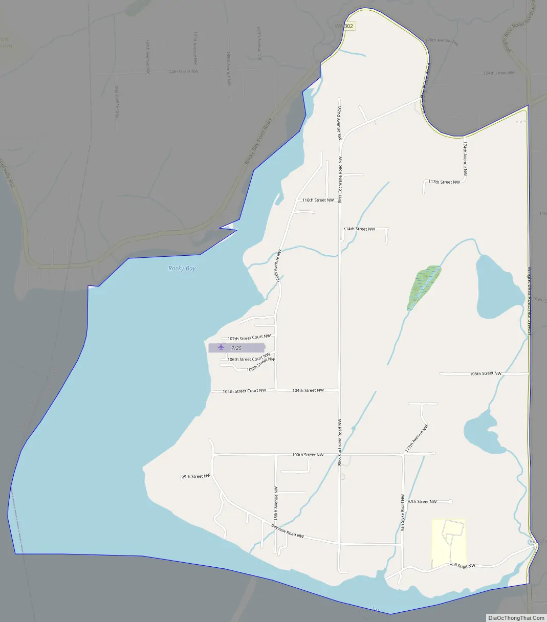
Online Interactive Map
Click on ![]() to view map in "full screen" mode.
to view map in "full screen" mode.
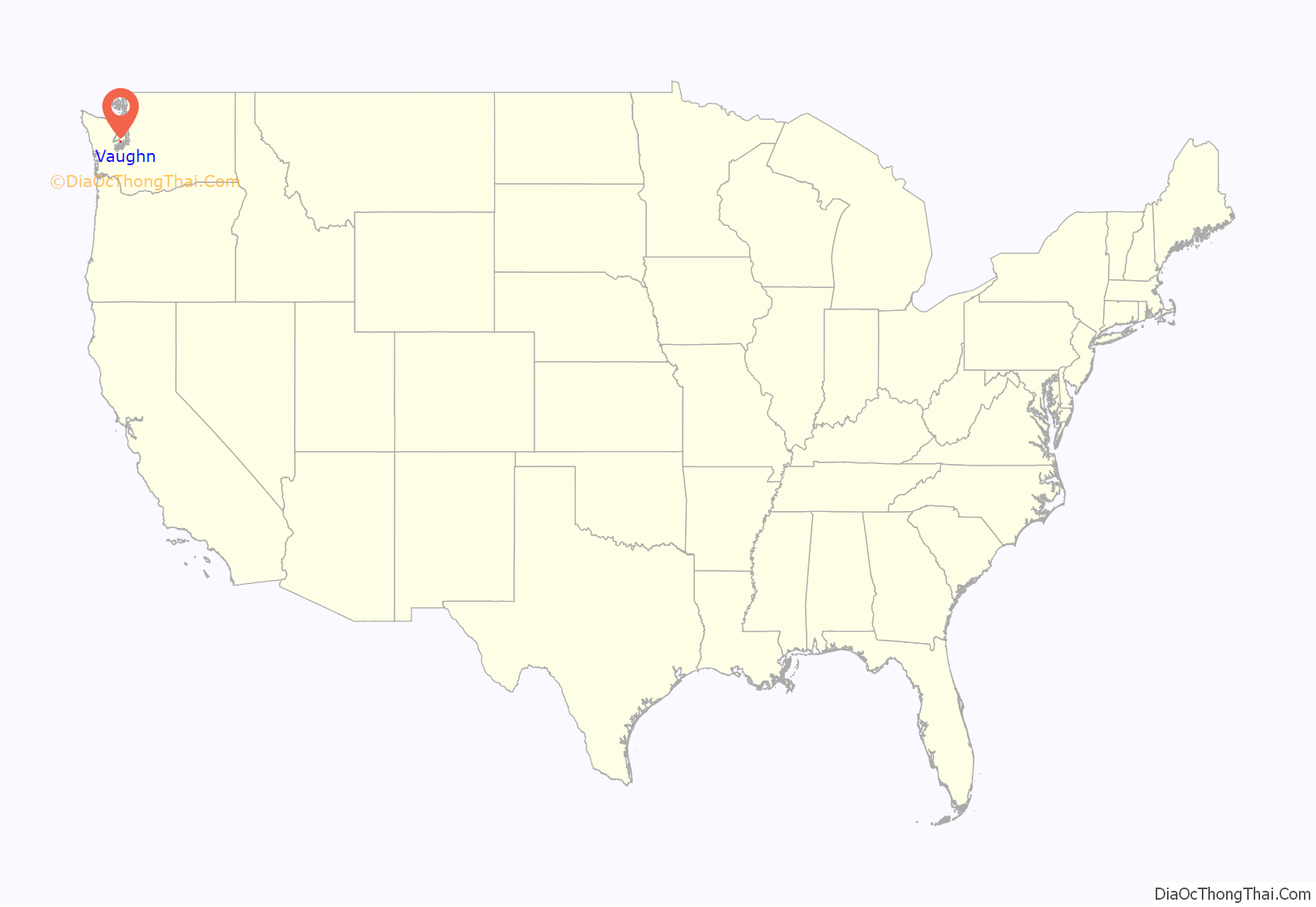
Vaughn location map. Where is Vaughn CDP?
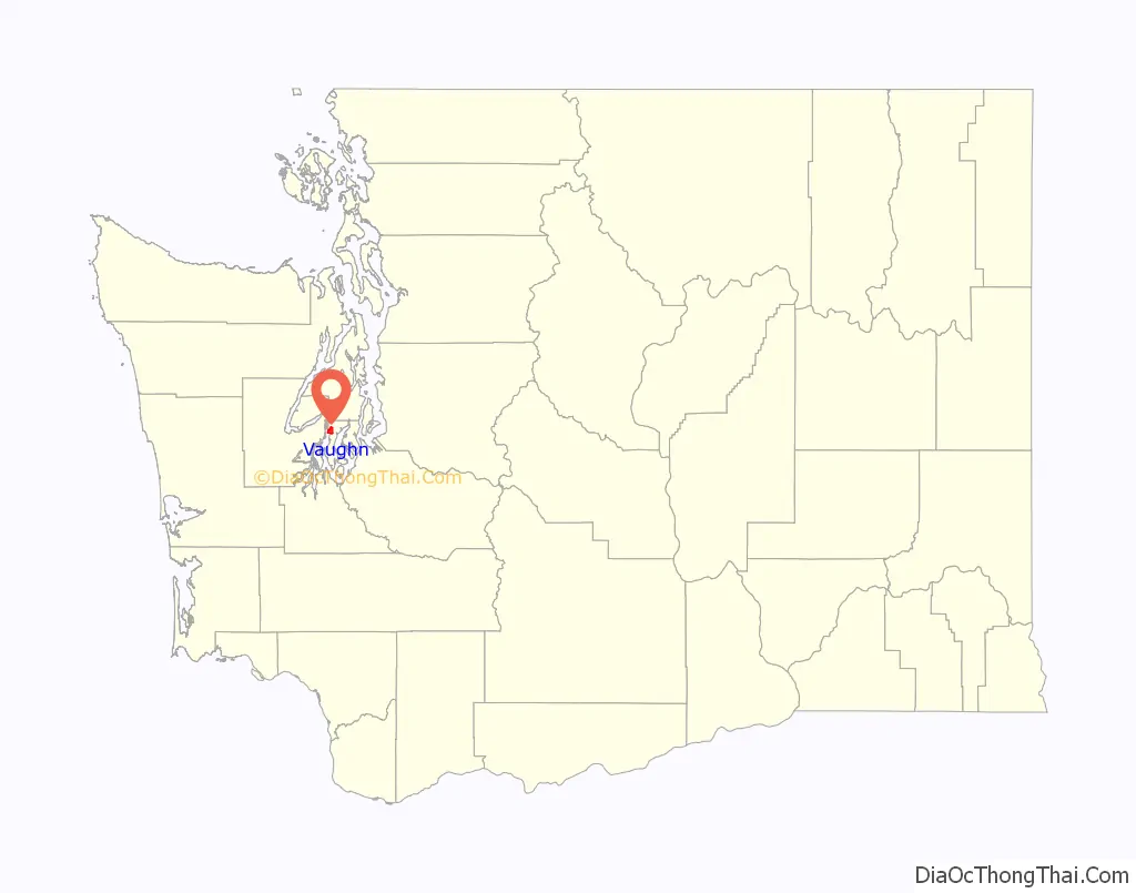
Vaughn Road Map
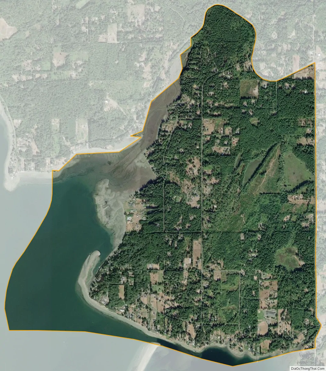
Vaughn city Satellite Map
See also
Map of Washington State and its subdivision:- Adams
- Asotin
- Benton
- Chelan
- Clallam
- Clark
- Columbia
- Cowlitz
- Douglas
- Ferry
- Franklin
- Garfield
- Grant
- Grays Harbor
- Island
- Jefferson
- King
- Kitsap
- Kittitas
- Klickitat
- Lewis
- Lincoln
- Mason
- Okanogan
- Pacific
- Pend Oreille
- Pierce
- San Juan
- Skagit
- Skamania
- Snohomish
- Spokane
- Stevens
- Thurston
- Wahkiakum
- Walla Walla
- Whatcom
- Whitman
- Yakima
- Alabama
- Alaska
- Arizona
- Arkansas
- California
- Colorado
- Connecticut
- Delaware
- District of Columbia
- Florida
- Georgia
- Hawaii
- Idaho
- Illinois
- Indiana
- Iowa
- Kansas
- Kentucky
- Louisiana
- Maine
- Maryland
- Massachusetts
- Michigan
- Minnesota
- Mississippi
- Missouri
- Montana
- Nebraska
- Nevada
- New Hampshire
- New Jersey
- New Mexico
- New York
- North Carolina
- North Dakota
- Ohio
- Oklahoma
- Oregon
- Pennsylvania
- Rhode Island
- South Carolina
- South Dakota
- Tennessee
- Texas
- Utah
- Vermont
- Virginia
- Washington
- West Virginia
- Wisconsin
- Wyoming


