Westport is a city in Grays Harbor County, Washington, United States. It had a population of 2,213 at the 2020 census. Westport is located on a peninsula on the south side of the entrance to Grays Harbor from the Pacific Ocean.
The public Westport Marina is the largest marina on the outer coast of the United States’s Pacific Northwest. The marina is home to a large commercial fishing fleet and several recreational charter fishing vessels. A summer-only passenger ferry, discontinued in 2008, previously connected the town to Ocean Shores, across the mouth of the harbor to the north. It is home to the Washington Tuna Classic, which happens each August.
| Name: | Westport city |
|---|---|
| LSAD Code: | 25 |
| LSAD Description: | city (suffix) |
| State: | Washington |
| County: | Grays Harbor County |
| Founded: | 1857 |
| Incorporated: | June 26, 1914 |
| Elevation: | 23 ft (7 m) |
| Total Area: | 5.94 sq mi (15.38 km²) |
| Land Area: | 3.69 sq mi (9.56 km²) |
| Water Area: | 2.25 sq mi (5.83 km²) |
| Total Population: | 2,213 |
| Population Density: | 569.11/sq mi (219.76/km²) |
| ZIP code: | 98595 |
| Area code: | 360 |
| FIPS code: | 5377630 |
| GNISfeature ID: | 1531536 |
| Website: | ci.westport.wa.us |
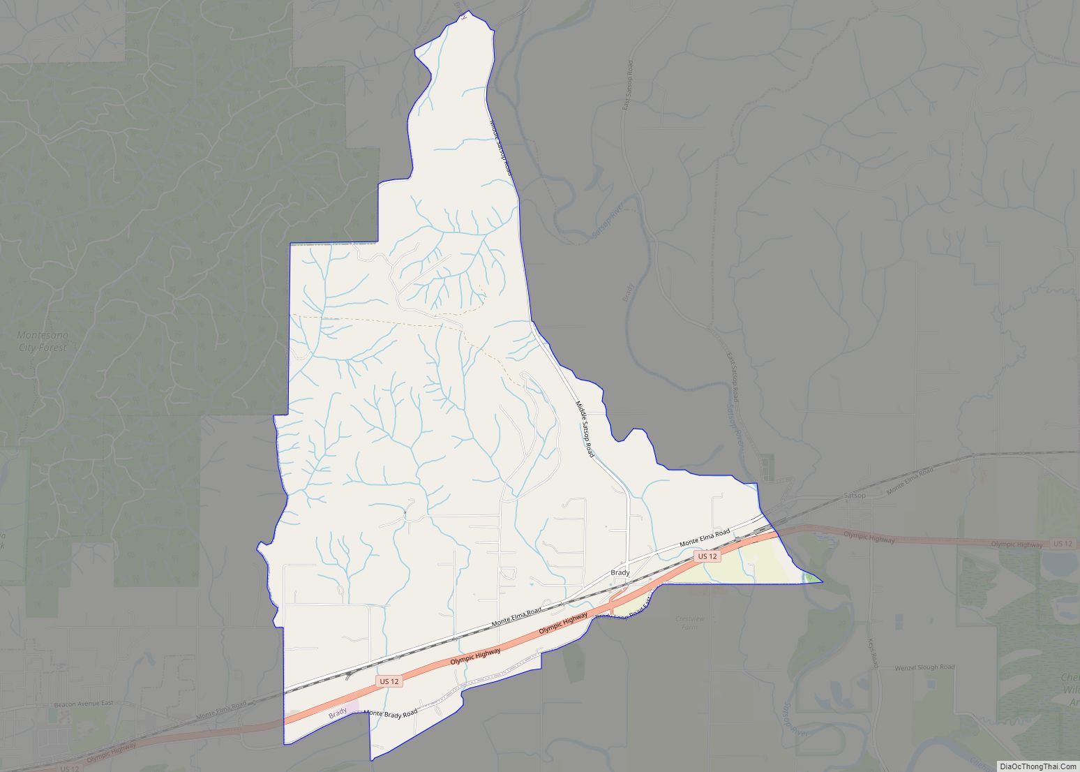
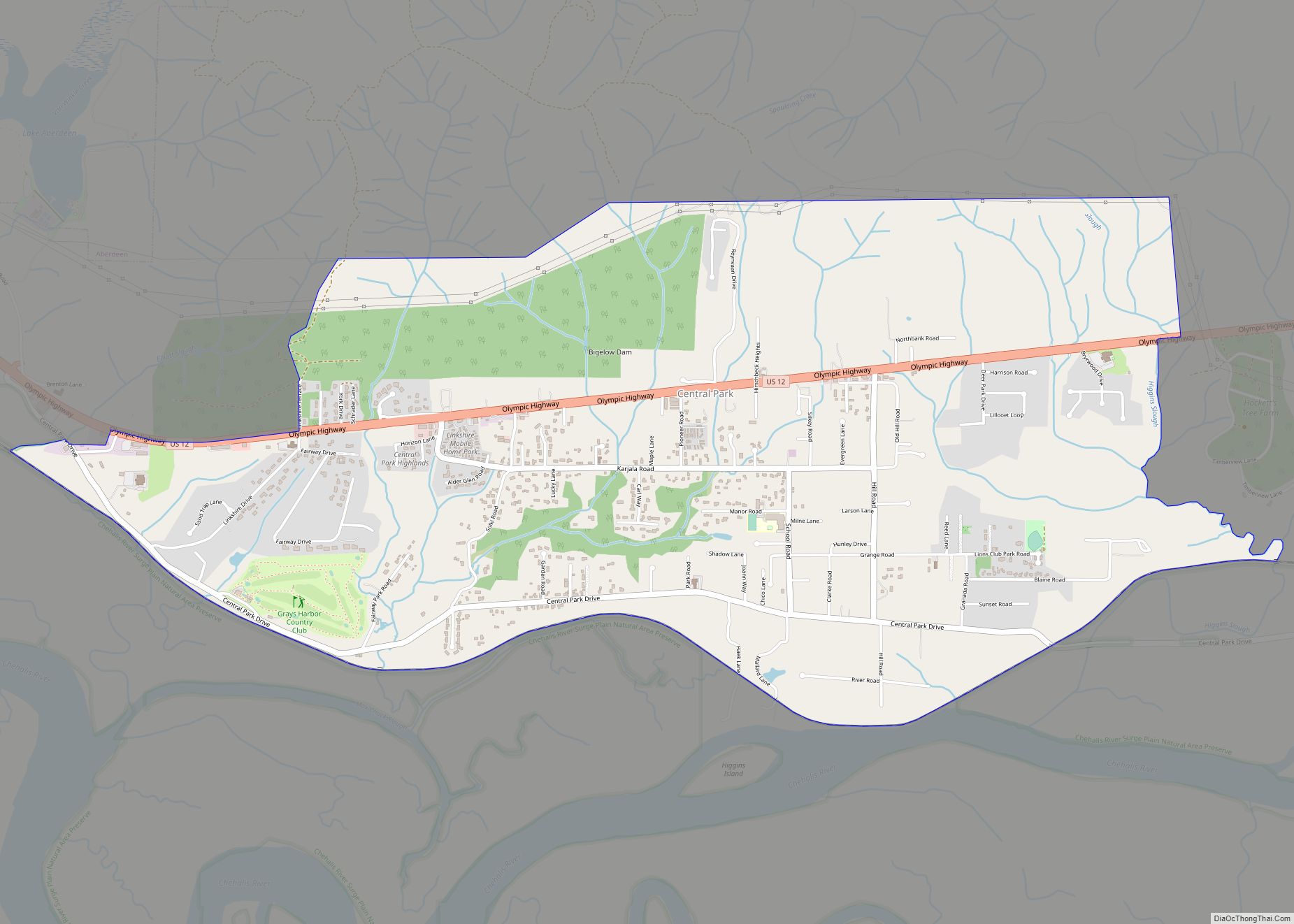
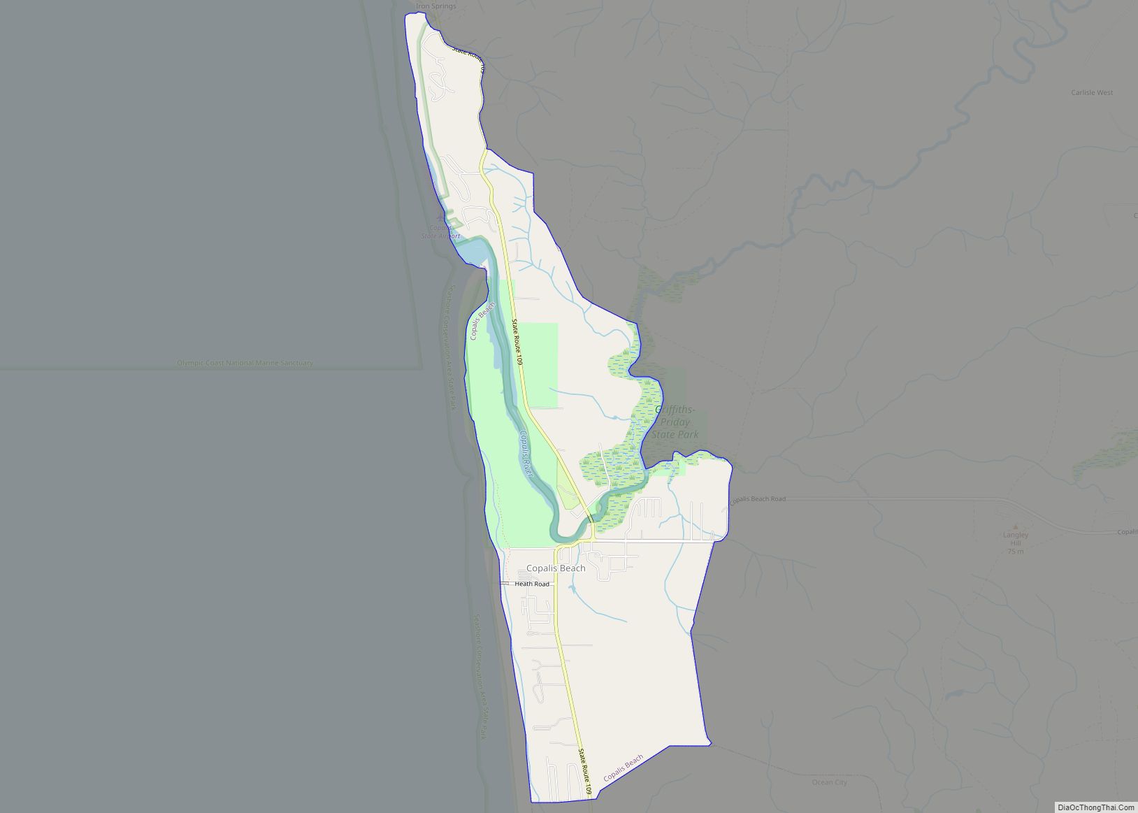
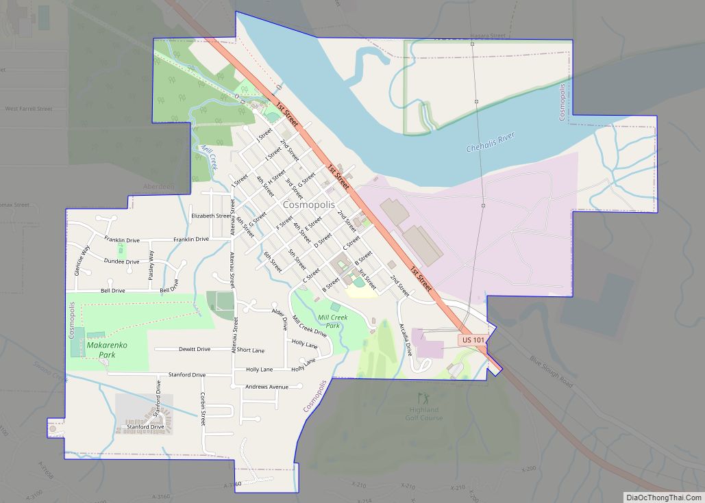
Online Interactive Map
Click on ![]() to view map in "full screen" mode.
to view map in "full screen" mode.
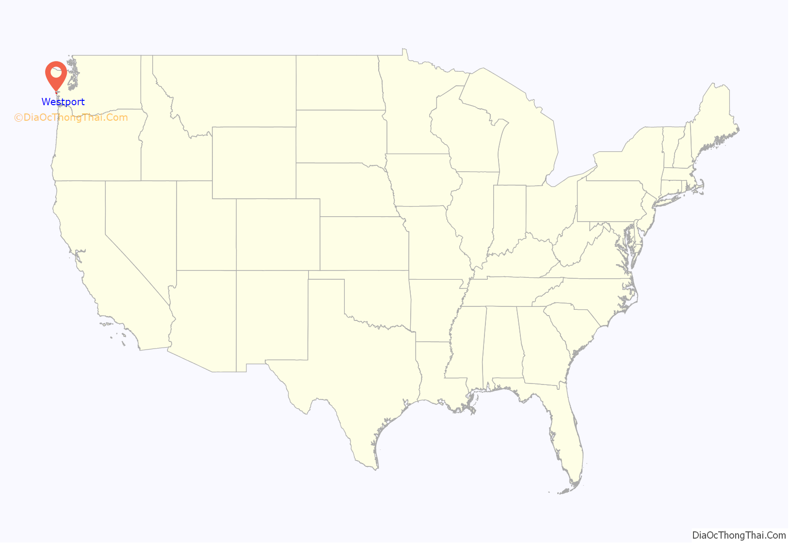
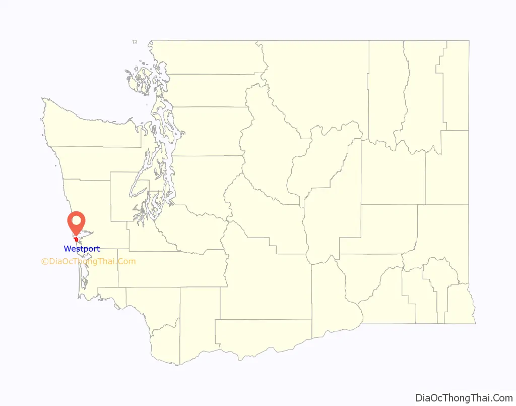
Westport location map. Where is Westport city?
History
Westport was officially incorporated on June 26, 1914. Names for the area in the past include Peterson’s Point, Chehalis City, and Fort Chehalis. The latter name is for a U.S. Army fort established in 1860 before the town was founded, “ts-a-lis” is the Lower Chehalis word for Westport, meaning “place of sand”. Early explorers pronounced the word “Chehalis” and gave this name to the river and the people living up river who later became the Chehalis people or “People of the Sands”. The area was used regularly during the summer by local Native American tribes (most likely the Shoalwater Bay Tribe, comprising Willapa Chinook and Lower Chehalis people) before Thomas Barker Speake and his family arrived early in the summer of 1857. Westport is also the home to a station for the US Coast Guard. In 2015, the Ocosta School District became the first to build a publicly funded vertical tsunami shelter, located at Ocosta Elementary School.
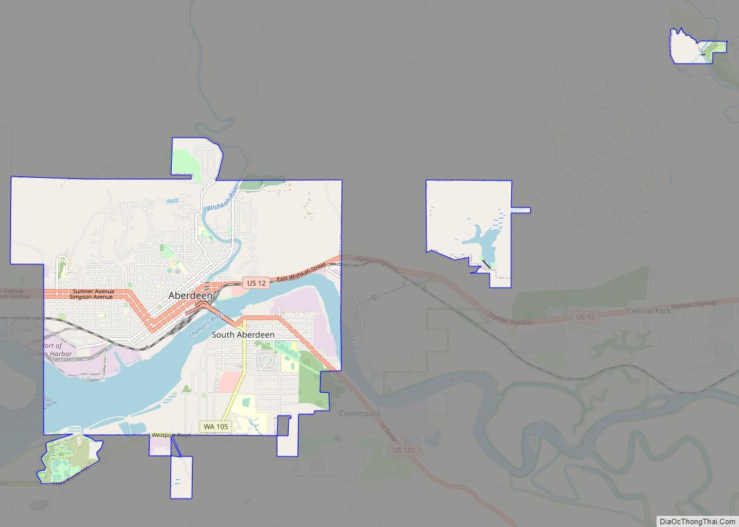
Westport Road Map
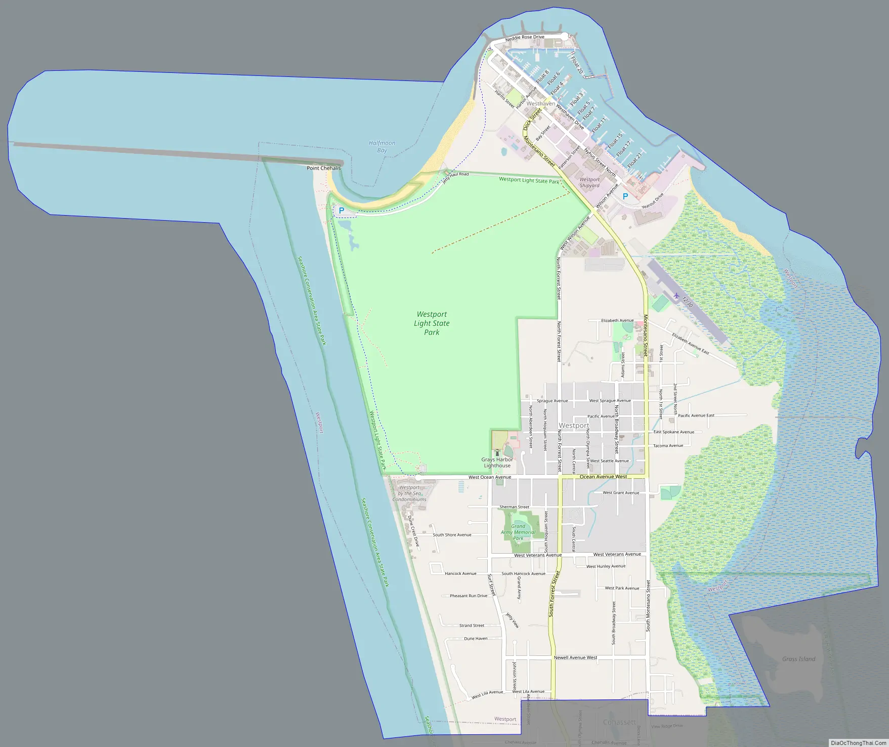
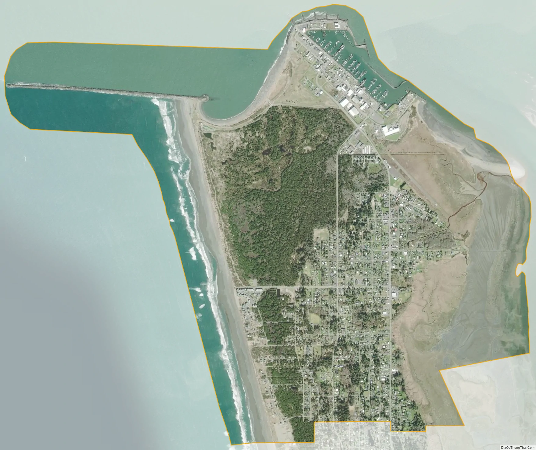
Westport city Satellite Map
Geography
Westport is located at 46°53′27″N 124°6′36″W / 46.89083°N 124.11000°W / 46.89083; -124.11000 (46.890803, -124.109926). It is the westernmost “Westport” in the world, the nearest competitor being in California, less than a degree east.
According to the United States Census Bureau, the city has a total area of 4.50 square miles (11.65 km), of which, 3.70 square miles (9.58 km) is land and 0.80 square miles (2.07 km) is water.
A weather station in Grayland, a community just south of Westport, has recorded conditions in the area going back to 1948. The area is generally mild and wet, with November through January having especially high levels of rainfall (averaging over 10 inches or 250 millimetres for each of those months) and little or no snow. (See Grayland, Washington for climate data.)
See also
Map of Washington State and its subdivision:- Adams
- Asotin
- Benton
- Chelan
- Clallam
- Clark
- Columbia
- Cowlitz
- Douglas
- Ferry
- Franklin
- Garfield
- Grant
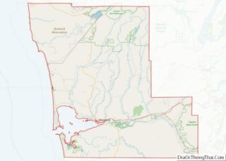
- Grays Harbor
- Island
- Jefferson
- King
- Kitsap
- Kittitas
- Klickitat
- Lewis
- Lincoln
- Mason
- Okanogan
- Pacific
- Pend Oreille
- Pierce
- San Juan
- Skagit
- Skamania
- Snohomish
- Spokane
- Stevens
- Thurston
- Wahkiakum
- Walla Walla
- Whatcom
- Whitman
- Yakima
- Alabama
- Alaska
- Arizona
- Arkansas
- California
- Colorado
- Connecticut
- Delaware
- District of Columbia
- Florida
- Georgia
- Hawaii
- Idaho
- Illinois
- Indiana
- Iowa
- Kansas
- Kentucky
- Louisiana
- Maine
- Maryland
- Massachusetts
- Michigan
- Minnesota
- Mississippi
- Missouri
- Montana
- Nebraska
- Nevada
- New Hampshire
- New Jersey
- New Mexico
- New York
- North Carolina
- North Dakota
- Ohio
- Oklahoma
- Oregon
- Pennsylvania
- Rhode Island
- South Carolina
- South Dakota
- Tennessee
- Texas
- Utah
- Vermont
- Virginia
- Washington
- West Virginia
- Wisconsin
- Wyoming