White Center is a census-designated place (CDP) in King County, Washington, United States. It lies between West Seattle and Burien. The population was 16,631 at the 2020 census.
White Center is sometimes referred to by the nickname “Rat City” due to the historical presence of a military Relocation and Training Center during World War II. The Rat City Rollergirls are a Seattle roller derby team that began training in White Center.
| Name: | White Center CDP |
|---|---|
| LSAD Code: | 57 |
| LSAD Description: | CDP (suffix) |
| State: | Washington |
| County: | King County |
| Elevation: | 381 ft (116 m) |
| Total Area: | 2.25 sq mi (5.83 km²) |
| Land Area: | 2.24 sq mi (5.81 km²) |
| Water Area: | 0.008 sq mi (0.02 km²) |
| Total Population: | 16,631 |
| Population Density: | 7,400/sq mi (2,900/km²) |
| ZIP code: | 98106, 98146, 98168 |
| Area code: | 206 |
| FIPS code: | 5378225 |
| GNISfeature ID: | 1512801 |
Online Interactive Map
Click on ![]() to view map in "full screen" mode.
to view map in "full screen" mode.
White Center location map. Where is White Center CDP?
History
Incorporation
White Center is one of only two heavily urbanized areas in King County that is not incorporated as part of a city (the other being Bryn Mawr-Skyway). Seattle has been working towards incorporating the area since the mid-2000s. An area south of White Center, known as North Highline, was annexed by neighboring Burien on April 1, 2010. The Seattle city council rejected annexation of White Center in 2009, and a measure to annex White Center to Burien was rejected by voters in 2012.
Plans to annex White Center got a boost in March 2016 when the state legislature directed that $7 million go to the city of Seattle if it annexes the area. Completing annexation would require approval by the voters in the area as well as by the Seattle City Council, and would not be completed before 2017.
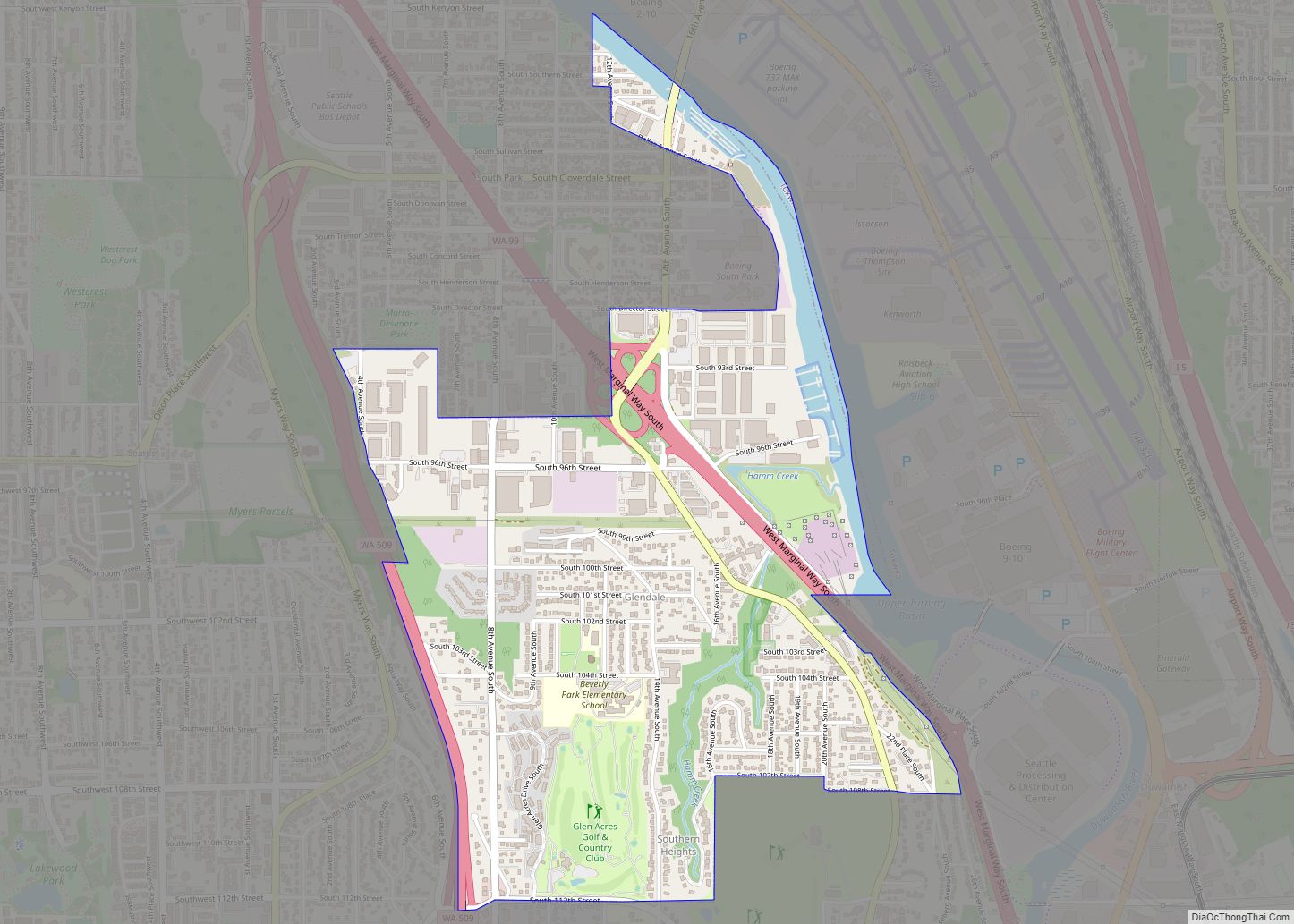
White Center Road Map
White Center city Satellite Map
Geography
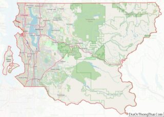
White Center is located in western King County at 47°30′27″N 122°20′51″W / 47.50750°N 122.34750°W / 47.50750; -122.34750 (47.507370, −122.347385). It has a total area of 2.25 square miles (5.83 km), of which 0.01 square miles (0.02 km), or 0.41%, are water.
The CDP is bordered to the north and west by Seattle, to the east by unincorporated Boulevard Park, and to the south by the city of Burien. Washington State Route 509 forms the eastern border of the White Center CDP. Downtown Seattle is 7 miles (11 km) to the north, and the center of Burien is 3 miles (5 km) to the south.
See also
Map of Washington State and its subdivision:- Adams
- Asotin
- Benton
- Chelan
- Clallam
- Clark
- Columbia
- Cowlitz
- Douglas
- Ferry
- Franklin
- Garfield
- Grant
- Grays Harbor
- Island
- Jefferson
- King
- Kitsap
- Kittitas
- Klickitat
- Lewis
- Lincoln
- Mason
- Okanogan
- Pacific
- Pend Oreille
- Pierce
- San Juan
- Skagit
- Skamania
- Snohomish
- Spokane
- Stevens
- Thurston
- Wahkiakum
- Walla Walla
- Whatcom
- Whitman
- Yakima
- Alabama
- Alaska
- Arizona
- Arkansas
- California
- Colorado
- Connecticut
- Delaware
- District of Columbia
- Florida
- Georgia
- Hawaii
- Idaho
- Illinois
- Indiana
- Iowa
- Kansas
- Kentucky
- Louisiana
- Maine
- Maryland
- Massachusetts
- Michigan
- Minnesota
- Mississippi
- Missouri
- Montana
- Nebraska
- Nevada
- New Hampshire
- New Jersey
- New Mexico
- New York
- North Carolina
- North Dakota
- Ohio
- Oklahoma
- Oregon
- Pennsylvania
- Rhode Island
- South Carolina
- South Dakota
- Tennessee
- Texas
- Utah
- Vermont
- Virginia
- Washington
- West Virginia
- Wisconsin
- Wyoming


