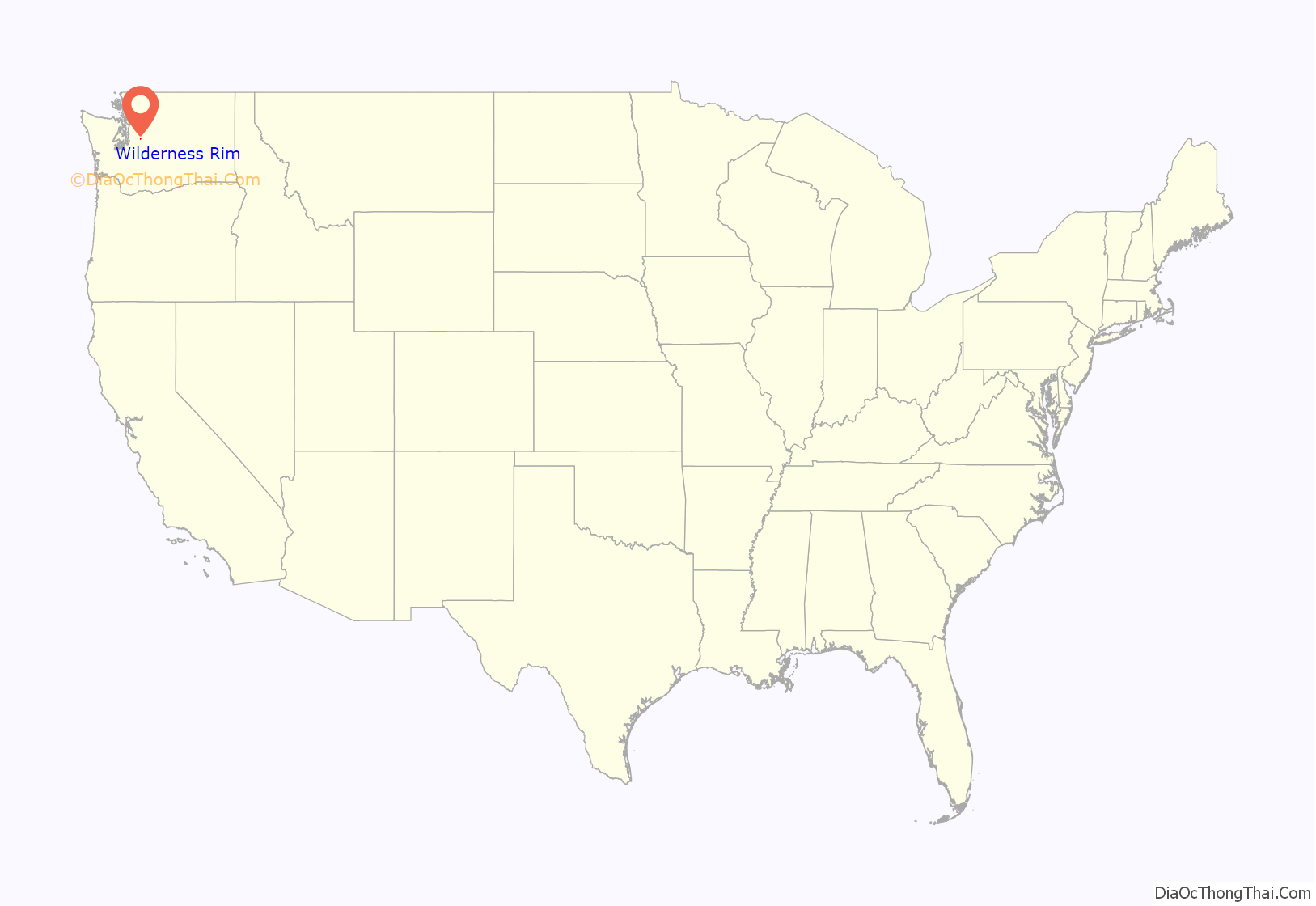
Wilderness Rim is a census-designated place (CDP) in King County, Washington, United States. It lies at an elevation of 1,043 feet (318 m). The population was 1,523 at the 2010 census.
| Name: | Wilderness Rim CDP |
|---|---|
| LSAD Code: | 57 |
| LSAD Description: | CDP (suffix) |
| State: | Washington |
| County: | King County |
| Elevation: | 1,043 ft (318 m) |
| Total Area: | 0.630 sq mi (1.63 km²) |
| Land Area: | 0.622 sq mi (1.61 km²) |
| Water Area: | 0.008 sq mi (0.02 km²) |
| Total Population: | 1,523 |
| Population Density: | 2,447/sq mi (944.8/km²) |
| FIPS code: | 5378780 |
| GNISfeature ID: | 2585052 |
Online Interactive Map
Click on ![]() to view map in "full screen" mode.
to view map in "full screen" mode.
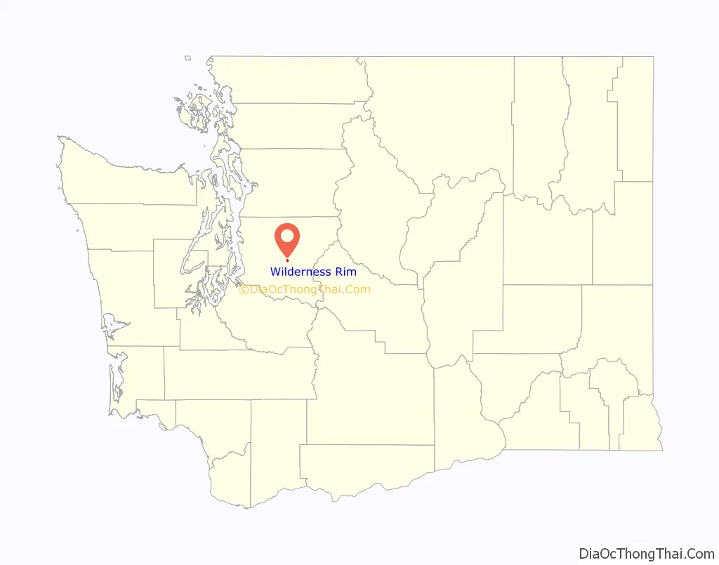
Wilderness Rim location map. Where is Wilderness Rim CDP?
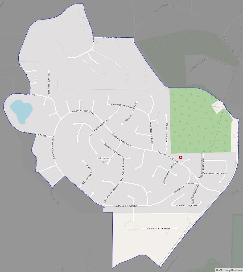
Wilderness Rim Road Map
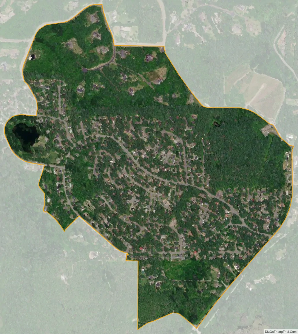
Wilderness Rim city Satellite Map
Geography
Wilderness Rim is located in eastern King County at 47°26′49″N 121°46′07″W / 47.44694°N 121.76861°W / 47.44694; -121.76861 (47.446975, -121.768572). It is 4 miles (6 km) south of the city of North Bend. The community sits at the foot of Rattlesnake Mountain, which rises to the west to an elevation of 3,500 feet (1,100 m).
According to the United States Census Bureau, the Wilderness Rim CDP had a total area of 0.630 square miles (1.63 km), of which 0.622 square miles (1.61 km) are land and 0.008 square miles (0.021 km), or 1.23%, are water.
See also
Map of Washington State and its subdivision:- Adams
- Asotin
- Benton
- Chelan
- Clallam
- Clark
- Columbia
- Cowlitz
- Douglas
- Ferry
- Franklin
- Garfield
- Grant
- Grays Harbor
- Island
- Jefferson
- King
- Kitsap
- Kittitas
- Klickitat
- Lewis
- Lincoln
- Mason
- Okanogan
- Pacific
- Pend Oreille
- Pierce
- San Juan
- Skagit
- Skamania
- Snohomish
- Spokane
- Stevens
- Thurston
- Wahkiakum
- Walla Walla
- Whatcom
- Whitman
- Yakima
- Alabama
- Alaska
- Arizona
- Arkansas
- California
- Colorado
- Connecticut
- Delaware
- District of Columbia
- Florida
- Georgia
- Hawaii
- Idaho
- Illinois
- Indiana
- Iowa
- Kansas
- Kentucky
- Louisiana
- Maine
- Maryland
- Massachusetts
- Michigan
- Minnesota
- Mississippi
- Missouri
- Montana
- Nebraska
- Nevada
- New Hampshire
- New Jersey
- New Mexico
- New York
- North Carolina
- North Dakota
- Ohio
- Oklahoma
- Oregon
- Pennsylvania
- Rhode Island
- South Carolina
- South Dakota
- Tennessee
- Texas
- Utah
- Vermont
- Virginia
- Washington
- West Virginia
- Wisconsin
- Wyoming


