Woodinville is a city in King County, Washington, United States. It is a part of the Seattle metropolitan area. There is also a much larger population with Woodinville mailing addresses in adjacent unincorporated areas of King (Cottage Lake) and Snohomish (Maltby) counties. Woodinville has waterfront parks on the Sammamish River, sweeping winery and brewery grounds, and densely wooded areas.
| Name: | Woodinville city |
|---|---|
| LSAD Code: | 25 |
| LSAD Description: | city (suffix) |
| State: | Washington |
| County: | King County |
| Incorporated: | March 31, 1993 |
| Elevation: | 39 ft (12 m) |
| Total Area: | 5.63 sq mi (14.58 km²) |
| Land Area: | 5.62 sq mi (14.54 km²) |
| Water Area: | 0.02 sq mi (0.04 km²) |
| Total Population: | 10,938 |
| Population Density: | 2,362.07/sq mi (912.06/km²) |
| ZIP code: | 98072 and 98077 |
| Area code: | 425 |
| FIPS code: | 5379590 |
| GNISfeature ID: | 1534610 |
| Website: | ci.woodinville.wa.us |
Online Interactive Map
Click on ![]() to view map in "full screen" mode.
to view map in "full screen" mode.
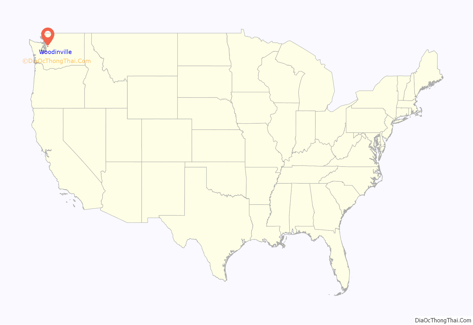
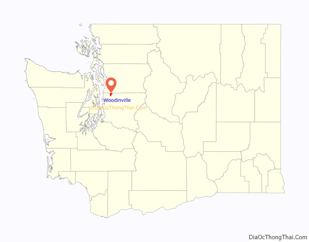
Woodinville location map. Where is Woodinville city?
History
Prior to European-American settlement, the Woodinville area was inhabited by the native Sammamish people. Indigenous peoples had occupied the area for thousands of years.
In 1871, Ira Woodin and his wife Susan moved from Seattle and traveled up the Sammamish River where they built a cabin. They planned to log timber and farm cattle. A town gradually developed around them. Their cabin served as its first school and post office, with Susan Woodin appointed as postmaster. Woodin and his son-in-law Thomas Sanders set up the first general store.
Like other nearby towns, Woodinville began as a logging community and became a farming center in the early decades of the 20th century. After World War II, it developed as a suburb of Seattle. In 1969, rock bands including Led Zeppelin and The Guess Who performed at the Seattle Pop Festival at Woodinville’s Gold Creek Park.
The growth of Bothell in the early 1990s led to plans for it to annex Woodinville; the residents of Woodinville responded by voting for incorporation in 1992. Woodinville was officially incorporated on March 31, 1993.
In the late 1990s, Woodinville attempted to annex the adjacent community of Grace in Snohomish County. The county’s government and the State Boundary Review Board rejected the proposal, citing the loss of tax revenue and legal issues with providing policing due to Woodinville’s contracts with the King County Sheriff’s Office. The area was also considered for a branch campus of the University of Washington that was ultimately built in Bothell.
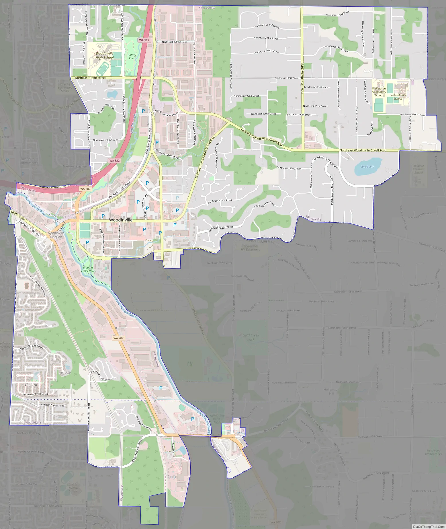
Woodinville Road Map
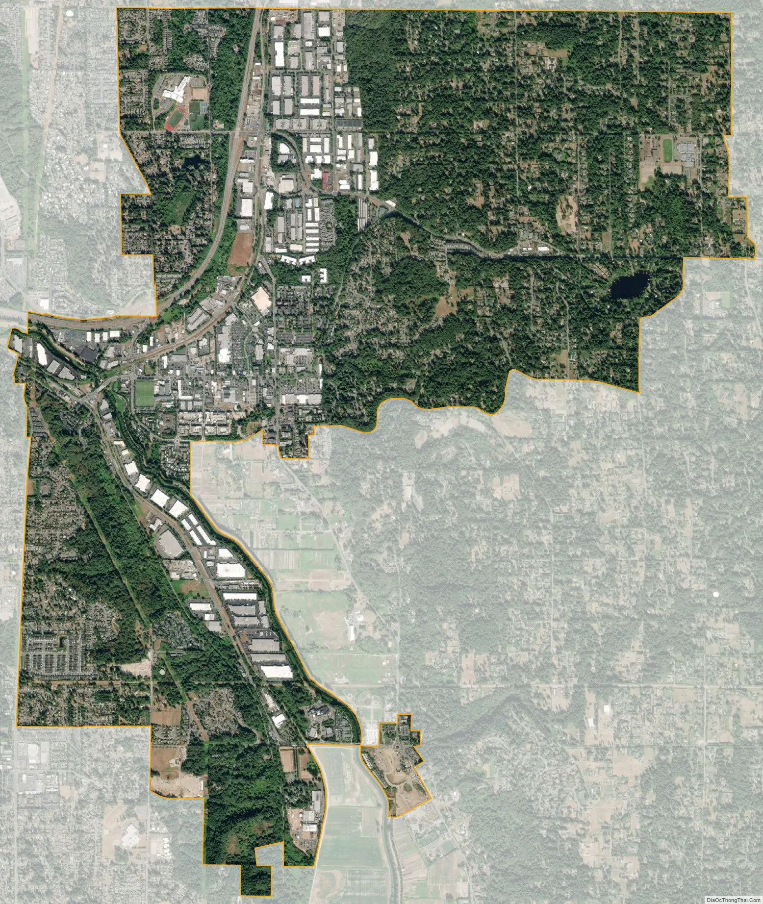
Woodinville city Satellite Map
Geography
Woodinville is located east of Bothell and northeast of Kirkland in northern King County. According to the United States Census Bureau, the city has a total area of 5.62 square miles (14.56 km), of which, 5.60 square miles (14.50 km) is land and 0.02 square miles (0.05 km) is water.
The United States Postal Service identifies those homes in the 98072 and 98077 zip codes as being within Woodinville, though those zip codes exceed the city limits of Woodinville. The 98072 zip code extends north into unincorporated Snohomish County and east of the city limits. The 98077 zip code falls entirely outside the city limits of Woodinville to the east, though the postal service still identifies it as Woodinville, WA.
See also
Map of Washington State and its subdivision:- Adams
- Asotin
- Benton
- Chelan
- Clallam
- Clark
- Columbia
- Cowlitz
- Douglas
- Ferry
- Franklin
- Garfield
- Grant
- Grays Harbor
- Island
- Jefferson
- King
- Kitsap
- Kittitas
- Klickitat
- Lewis
- Lincoln
- Mason
- Okanogan
- Pacific
- Pend Oreille
- Pierce
- San Juan
- Skagit
- Skamania
- Snohomish
- Spokane
- Stevens
- Thurston
- Wahkiakum
- Walla Walla
- Whatcom
- Whitman
- Yakima
- Alabama
- Alaska
- Arizona
- Arkansas
- California
- Colorado
- Connecticut
- Delaware
- District of Columbia
- Florida
- Georgia
- Hawaii
- Idaho
- Illinois
- Indiana
- Iowa
- Kansas
- Kentucky
- Louisiana
- Maine
- Maryland
- Massachusetts
- Michigan
- Minnesota
- Mississippi
- Missouri
- Montana
- Nebraska
- Nevada
- New Hampshire
- New Jersey
- New Mexico
- New York
- North Carolina
- North Dakota
- Ohio
- Oklahoma
- Oregon
- Pennsylvania
- Rhode Island
- South Carolina
- South Dakota
- Tennessee
- Texas
- Utah
- Vermont
- Virginia
- Washington
- West Virginia
- Wisconsin
- Wyoming


