Zillah is a city in Yakima County, Washington, United States, with a population of 3,179 as of the 2020 census.
| Name: | Zillah city |
|---|---|
| LSAD Code: | 25 |
| LSAD Description: | city (suffix) |
| State: | Washington |
| County: | Yakima County |
| Founded: | 1892 |
| Incorporated: | January 5, 1911 |
| Elevation: | 820 ft (250 m) |
| Total Area: | 1.82 sq mi (4.72 km²) |
| Land Area: | 1.82 sq mi (4.72 km²) |
| Water Area: | 0.00 sq mi (0.00 km²) |
| Total Population: | 3,179 |
| Population Density: | 1,724.33/sq mi (665.91/km²) |
| ZIP code: | 98953 |
| Area code: | 509 |
| FIPS code: | 5380500 |
| GNISfeature ID: | 1512822 |
| Website: | cityofzillah.us |
Online Interactive Map
Click on ![]() to view map in "full screen" mode.
to view map in "full screen" mode.
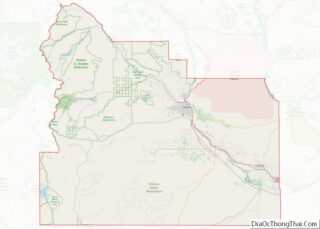
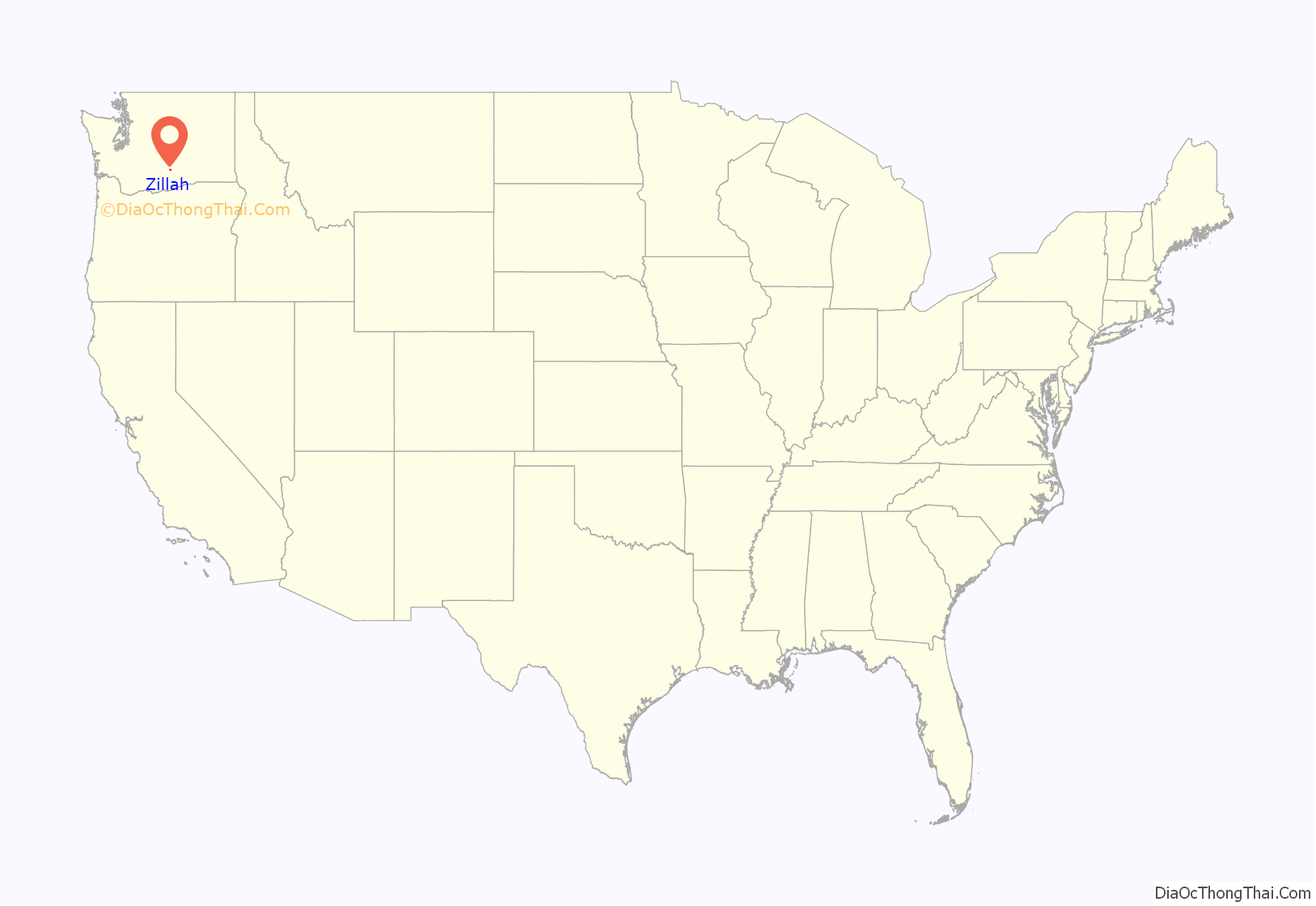
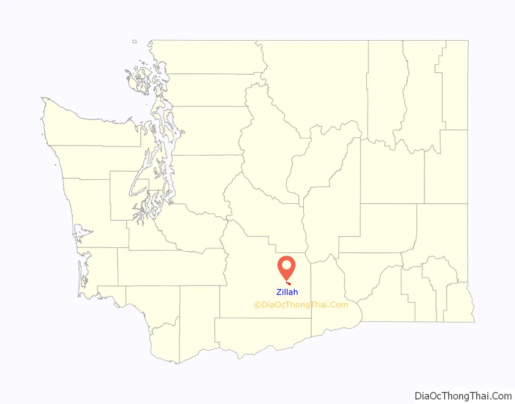
Zillah location map. Where is Zillah city?
History
Zillah was founded in 1891 following the completion of the Sunnyside Canal project, an irrigation scheme delivering water from the Yakima River to the arid lower Yakima Valley. Walter Granger, superintendent of the canal company, chose the town site in 1892. The town was named for Miss Zillah Oakes, daughter of Thomas Fletcher Oakes, who, as president of the Northern Pacific Railway, had backed the building of the canal. The town was named after Miss Zillah because she would scream and cry on the way to the new town, while on the trip her father promised to name the town after her if she would stop. Granger housed the headquarters of the Washington Irrigation Company in Zillah, giving it economical advantages for a time. He also made his residency in Zillah, becoming its mayor after retiring from the irrigation company. Zillah was officially incorporated on January 5, 1911.
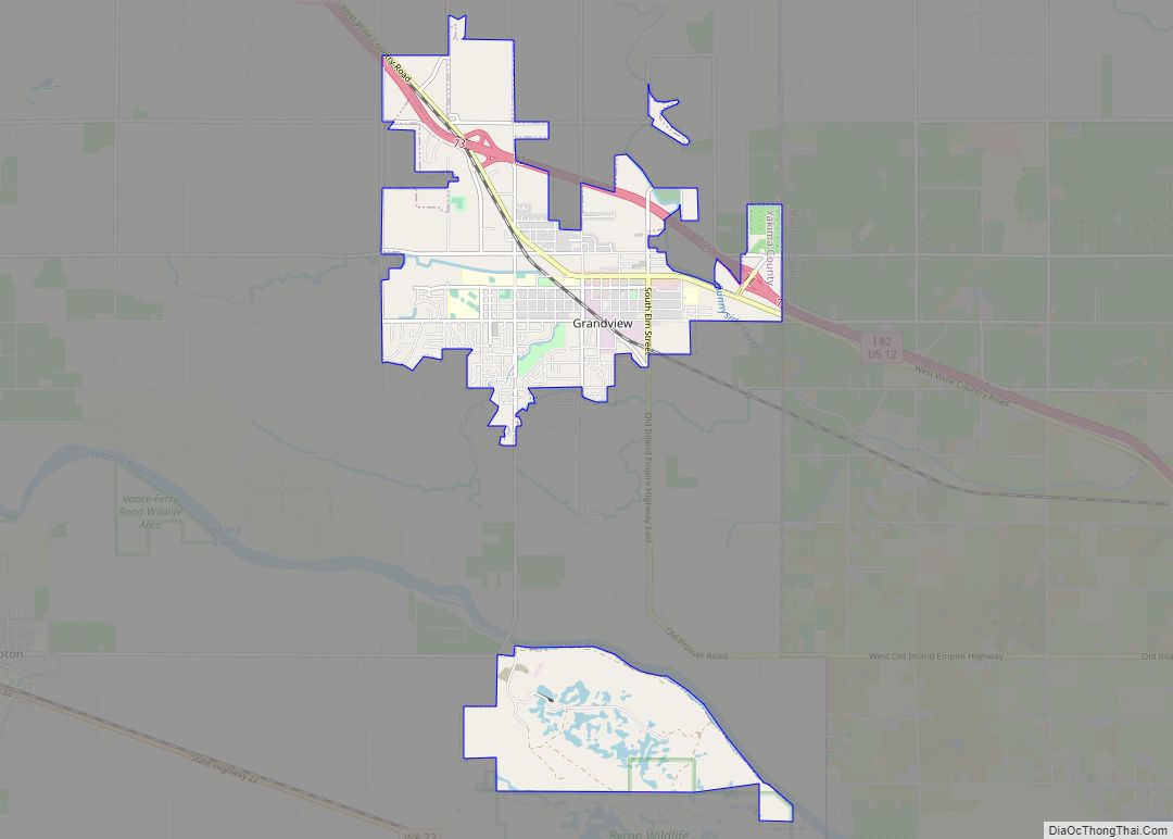
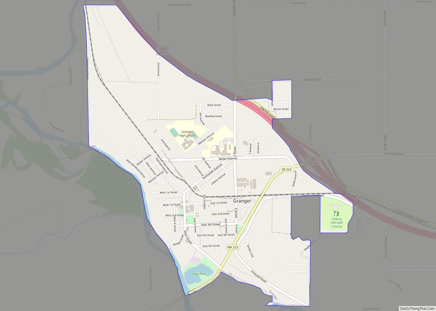
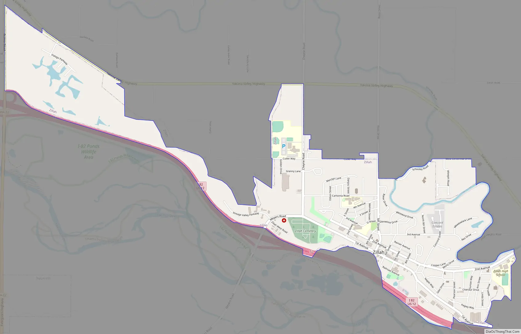
Zillah Road Map
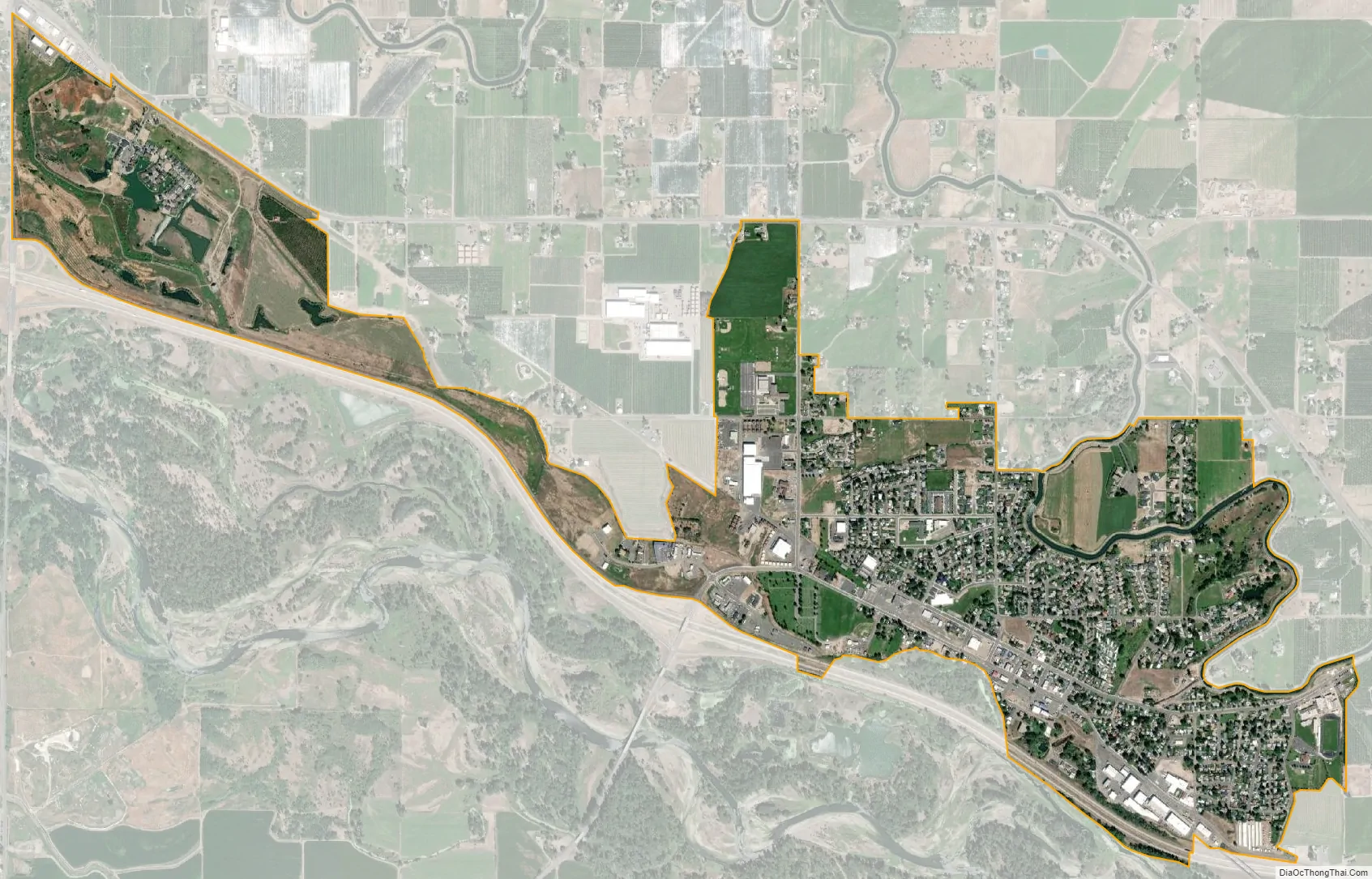
Zillah city Satellite Map
Geography
Zillah is located on Interstate 82 about 15 miles (24 km) southeast of Yakima.
According to the United States Census Bureau, the city has a total area of 1.78 square miles (4.61 km), all of it land.
See also
Map of Washington State and its subdivision:- Adams
- Asotin
- Benton
- Chelan
- Clallam
- Clark
- Columbia
- Cowlitz
- Douglas
- Ferry
- Franklin
- Garfield
- Grant
- Grays Harbor
- Island
- Jefferson
- King
- Kitsap
- Kittitas
- Klickitat
- Lewis
- Lincoln
- Mason
- Okanogan
- Pacific
- Pend Oreille
- Pierce
- San Juan
- Skagit
- Skamania
- Snohomish
- Spokane
- Stevens
- Thurston
- Wahkiakum
- Walla Walla
- Whatcom
- Whitman
- Yakima
- Alabama
- Alaska
- Arizona
- Arkansas
- California
- Colorado
- Connecticut
- Delaware
- District of Columbia
- Florida
- Georgia
- Hawaii
- Idaho
- Illinois
- Indiana
- Iowa
- Kansas
- Kentucky
- Louisiana
- Maine
- Maryland
- Massachusetts
- Michigan
- Minnesota
- Mississippi
- Missouri
- Montana
- Nebraska
- Nevada
- New Hampshire
- New Jersey
- New Mexico
- New York
- North Carolina
- North Dakota
- Ohio
- Oklahoma
- Oregon
- Pennsylvania
- Rhode Island
- South Carolina
- South Dakota
- Tennessee
- Texas
- Utah
- Vermont
- Virginia
- Washington
- West Virginia
- Wisconsin
- Wyoming