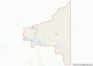
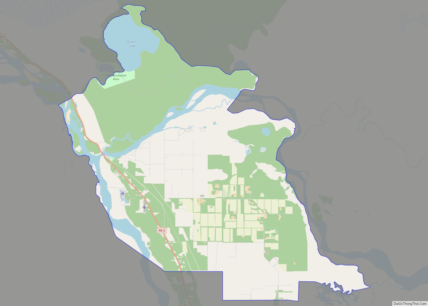
Big Delta is a census-designated place (CDP) in Southeast Fairbanks Census Area, Alaska, United States. The population was 591 at the 2010 census, down from 749 in 2000. Big Delta is at the confluence of the Delta River and the Tanana River and gets its name from the huge river delta formed by the confluence.
| Name: | Big Delta CDP |
|---|---|
| LSAD Code: | 57 |
| LSAD Description: | CDP (suffix) |
| State: | Alaska |
| County: | Southeast Fairbanks Census Area |
| Elevation: | 994 ft (303 m) |
| Total Area: | 53.84 sq mi (139.44 km²) |
| Land Area: | 46.95 sq mi (121.59 km²) |
| Water Area: | 6.89 sq mi (17.86 km²) |
| Total Population: | 444 |
| Population Density: | 9.46/sq mi (3.65/km²) |
| ZIP code: | 99737 |
| Area code: | 907 |
| FIPS code: | 0206850 |
| GNISfeature ID: | 1398949 |
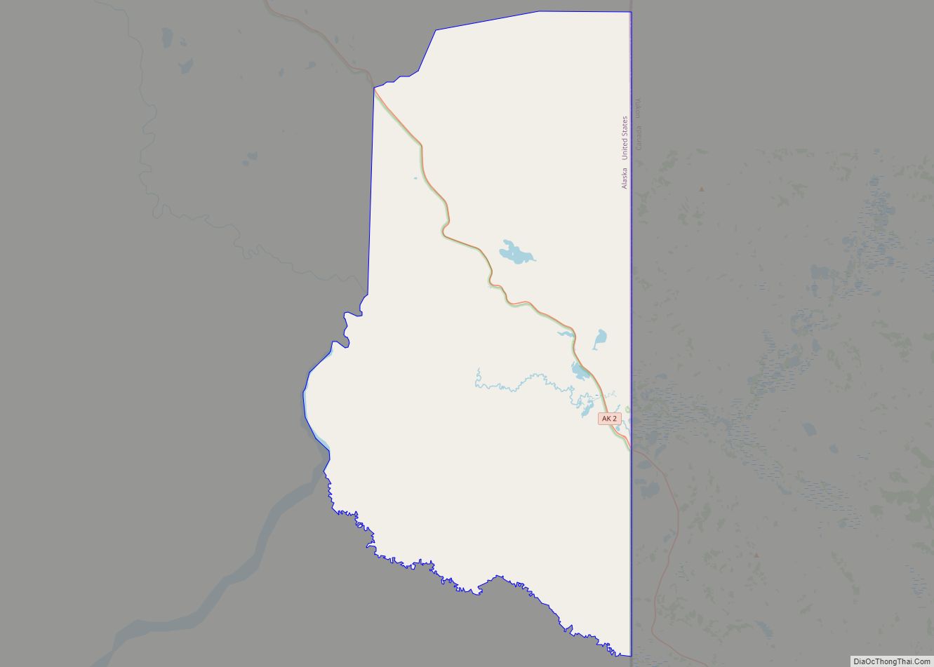
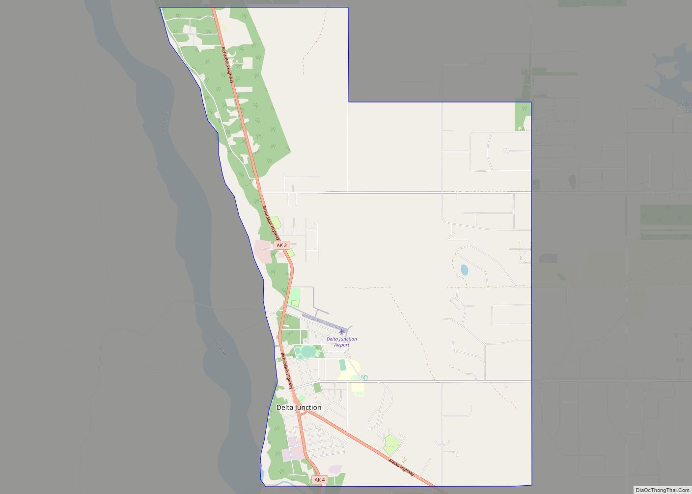
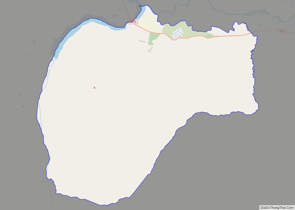
Online Interactive Map
Click on ![]() to view map in "full screen" mode.
to view map in "full screen" mode.
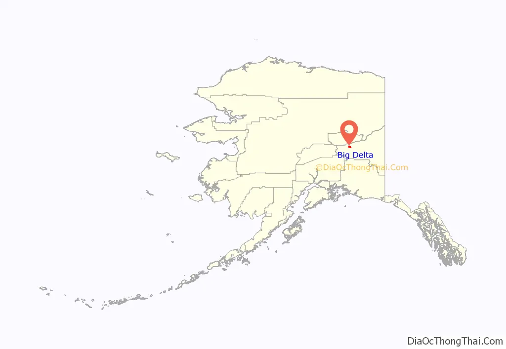
Big Delta location map. Where is Big Delta CDP?
History
From at least 10,000 years ago to the present, Athabascan Indians have inhabited portions of the interior of Alaska. They survived by hunting the abundant game and fishing in the rivers of the interior of Alaska.
Beginning in 1899, the United States Army built a pack trail from Valdez, on the south coast of Alaska, to Eagle, northeast of Big Delta, a distance of about 660 km (410 mi). The trail crossed the Tanana River near the confluence of the Delta and Tanana Rivers.
Gold was discovered in 1902 in Fairbanks, about 150 km (93 mi) north of the crossing of the Tanana River. Roadhouses were built along the pack trail that connected the south coast of Alaska with Fairbanks. One such roadhouse was Bates Landing, which was built at the confluence of the Delta and Tanana Rivers, about 12 km (7.5 mi) north of the current Delta Junction, in the area known now as Big Delta. The U. S. government collected a toll on the south side of the Tanana River from all passengers crossing north. In 1904 work began on the Richardson Highway, which mostly followed the route of the pack trail.
In 1906, John Hajdukovich bought the roadhouse and enlarged it. In addition to running the lodge there, he took hunting parties into the nearby Granite Mountains and traded with the Athabaskans in the surrounding area. An 18-year-old Swedish girl named Rika Wallen came to the roadhouse to work for John. After several years, John deeded the roadhouse to Rika in lieu of back wages he owed her. Rika also homesteaded an adjoining piece of land. Rika’s Roadhouse and the adjacent property are now the Big Delta State Historical Park.
In 1928 a herd of bison were brought from the U. S. state of Montana to Big Delta, because they were thought to be threatened with extinction in the continental United States. The herd still roams in the Delta Junction area, about 12 km (7.5 mi) south of Big Delta.
The construction of the Alaska Highway during World War II shifted much of the economic activity of the area south to Delta Junction. Later history of the area can be found in the entry for Delta Junction.
Big Delta Road Map
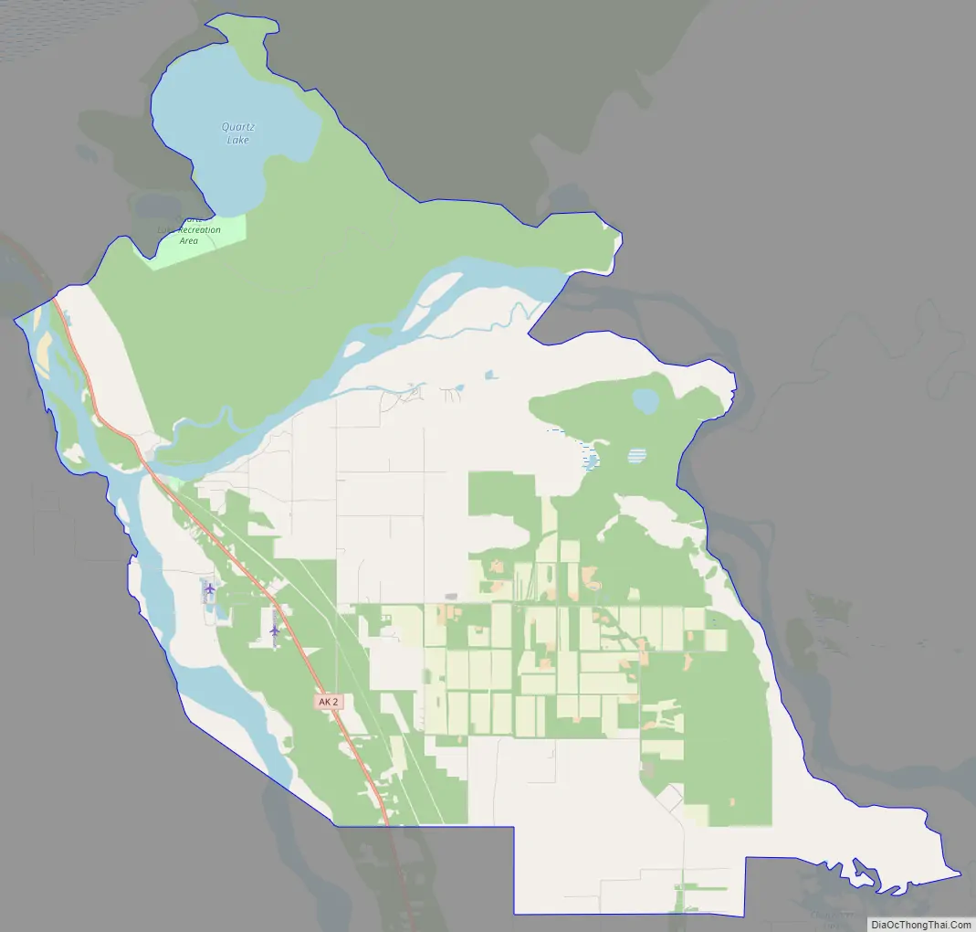
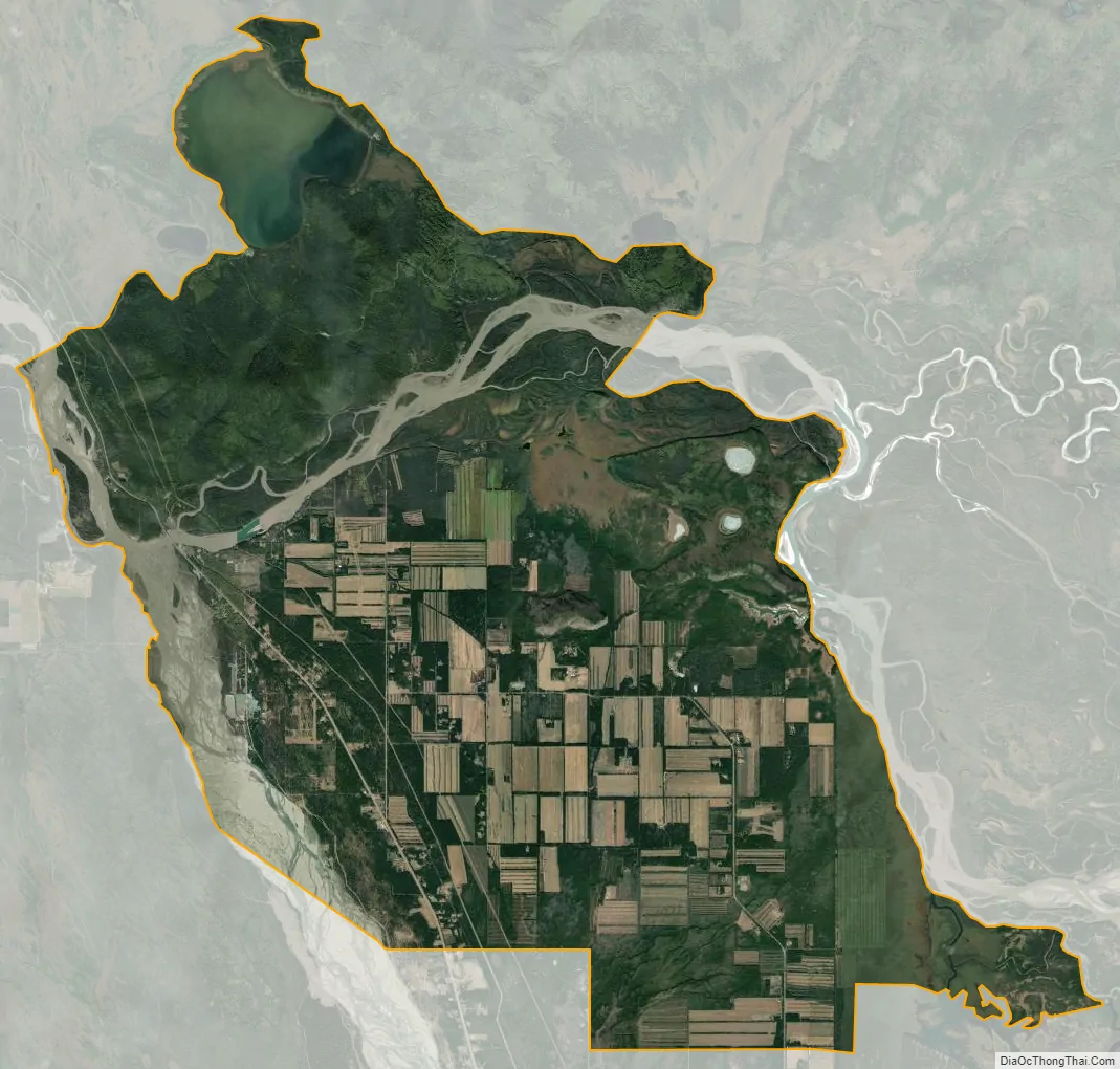
Big Delta city Satellite Map
Geography
Big Delta is located at 64°8′50″N 145°48′6″W / 64.14722°N 145.80167°W / 64.14722; -145.80167 (64.147324, -145.801545).
According to the United States Census Bureau, the CDP has a total area of 61.1 square miles (158 km), of which, 55.2 square miles (143 km) of it is land and 5.9 square miles (15 km) of it (9.70%) is water.
See also
Map of Alaska State and its subdivision:- Aleutians East
- Aleutians West
- Anchorage
- Bethel
- Bristol Bay
- Denali
- Dillingham
- Fairbanks North Star
- Haines
- Juneau
- Kenai Peninsula
- Ketchikan Gateway
- Kodiak Island
- Lake and Peninsula
- Matanuska-Susitna
- Nome
- North Slope
- Northwest Arctic
- Prince of Wales-Outer Ketchi
- Sitka
- Skagway-Yakutat-Angoon
- Southeast Fairbanks
- Valdez-Cordova
- Wade Hampton
- Wrangell-Petersburg
- Yukon-Koyukuk
- Alabama
- Alaska
- Arizona
- Arkansas
- California
- Colorado
- Connecticut
- Delaware
- District of Columbia
- Florida
- Georgia
- Hawaii
- Idaho
- Illinois
- Indiana
- Iowa
- Kansas
- Kentucky
- Louisiana
- Maine
- Maryland
- Massachusetts
- Michigan
- Minnesota
- Mississippi
- Missouri
- Montana
- Nebraska
- Nevada
- New Hampshire
- New Jersey
- New Mexico
- New York
- North Carolina
- North Dakota
- Ohio
- Oklahoma
- Oregon
- Pennsylvania
- Rhode Island
- South Carolina
- South Dakota
- Tennessee
- Texas
- Utah
- Vermont
- Virginia
- Washington
- West Virginia
- Wisconsin
- Wyoming